The Sunshine Coast

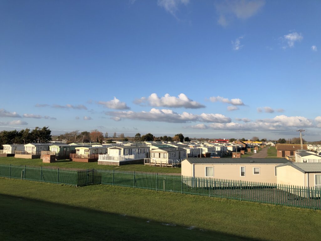
I grew up and went to school in a medium-sized city in the west of Germany, located roughly halfway between Cologne and Frankfurt. When I was around 16, we went on a school trip to England. We did not go to London. We did not go to Oxford, Cambridge, or maybe Brighton. We did go to Clacton-on-Sea, on the Essex coast. More specifically, we went to a caravan park on the outskirts of Clacton.

This did not seem so strange at the time. Looking back, however, Clacton strikes as me as a very unusual destination for the school trip of a German school. Who decided on the Essex coast, and for what reason? Was the experiment repeated? In recent years I have often wondered about this, but doubt that I will ever know the answers.  The only clear connection between my hometown and Clacton I have been able to ascertain is related to a fried chicken restaurant which I will call FC. In Britain, FC can be found in many cities. In Germany, there is exactly one branch – which happens to be located where I grew up. It is legendary for being open until very late at night, thus providing food to partying teenagers. This striking fact raises questions of its own – why is there only this one branch, why is it here? – but it hardly answers the puzzle of how I ended up at a Clacton caravan park for a week.

I still have some distinct memories of the trip. We travelled by coach, taking the ferry to Harwich, and on arrival at the caravan park the coach stopped next to a football field. While waiting for the doors to open, we watched two boys involved in a fight rolling around on the ground outside. I remember plenty of tinned ravioli and creatively seasoned pasta. I do not recall any day trips for sightseeing, but I do remember a trip to a big Tesco supermarket.

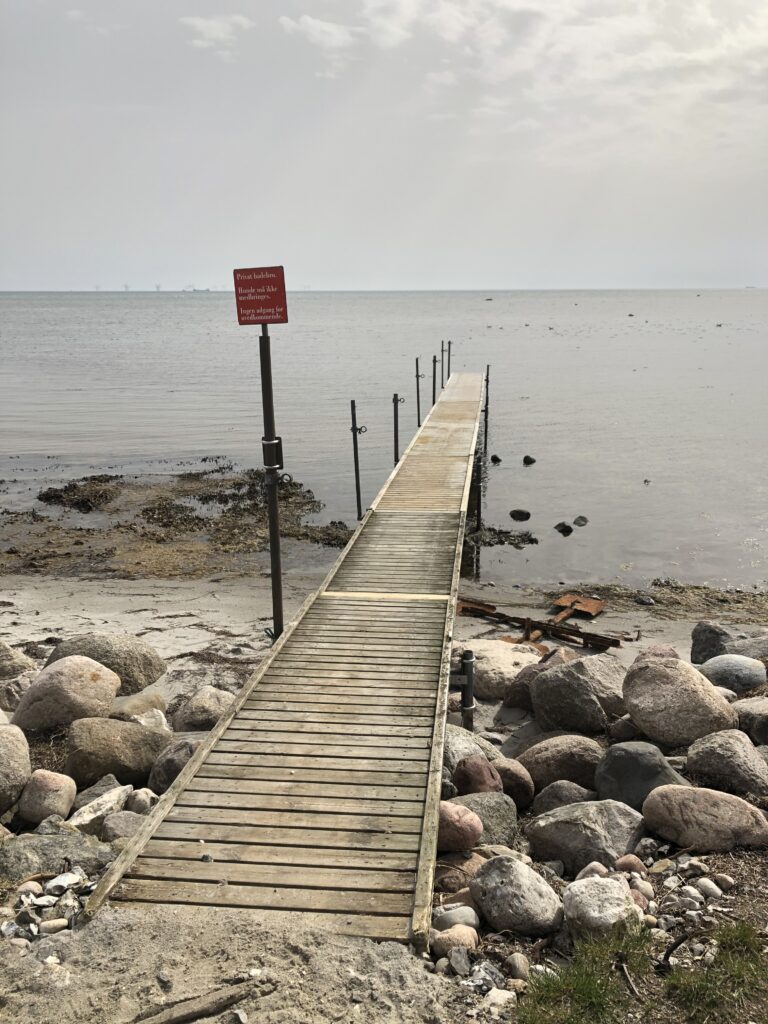
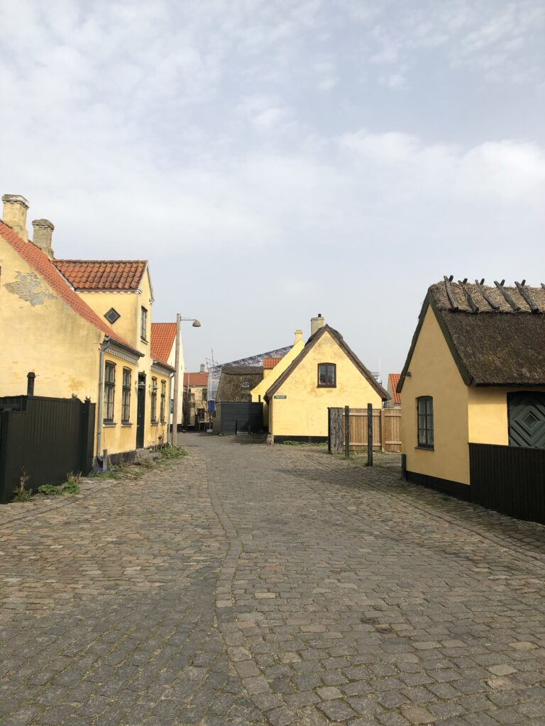
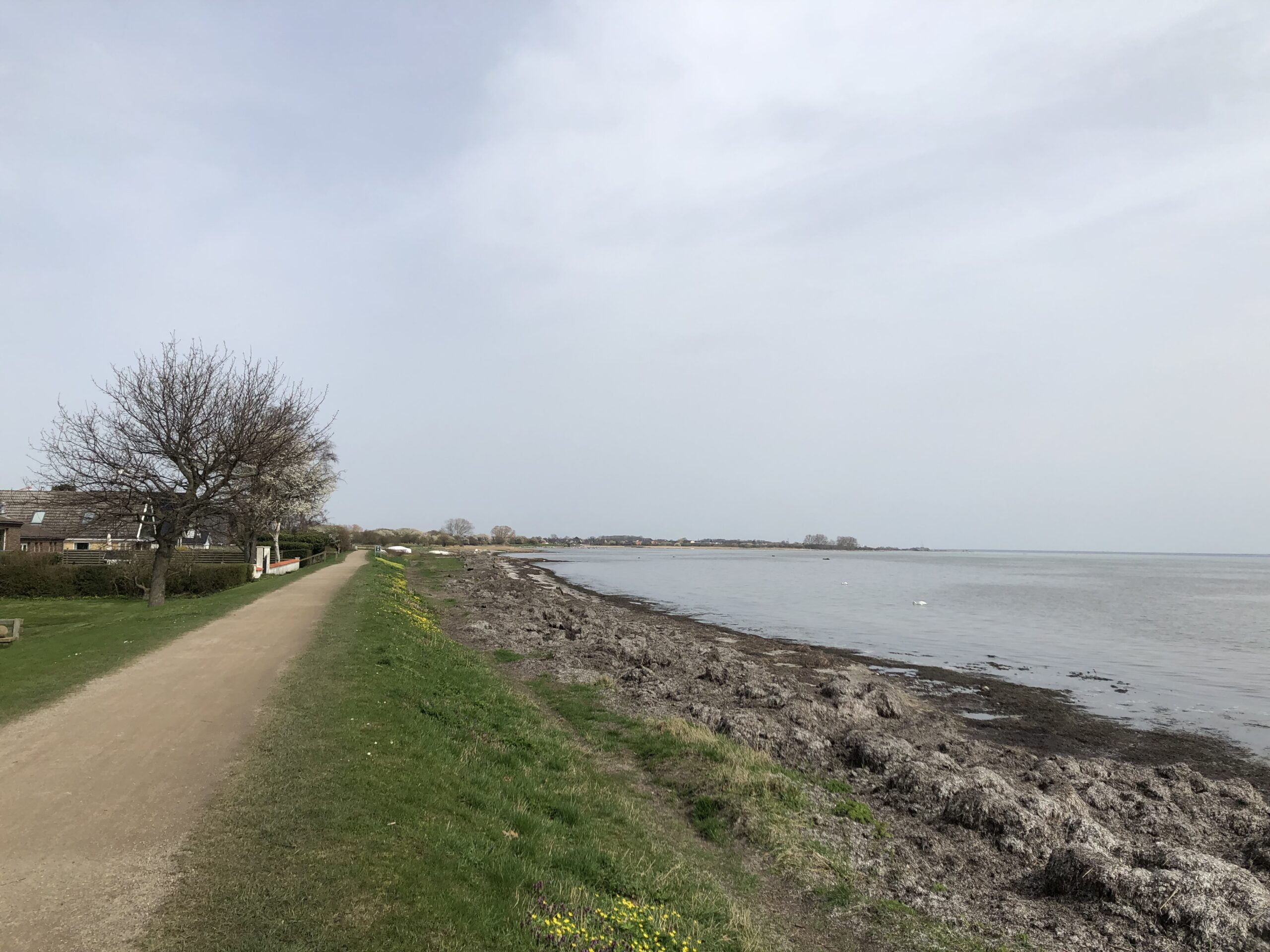
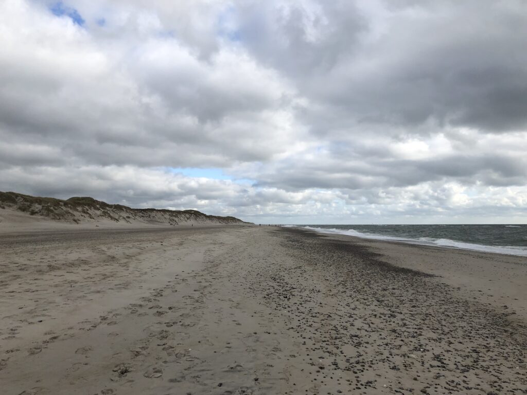
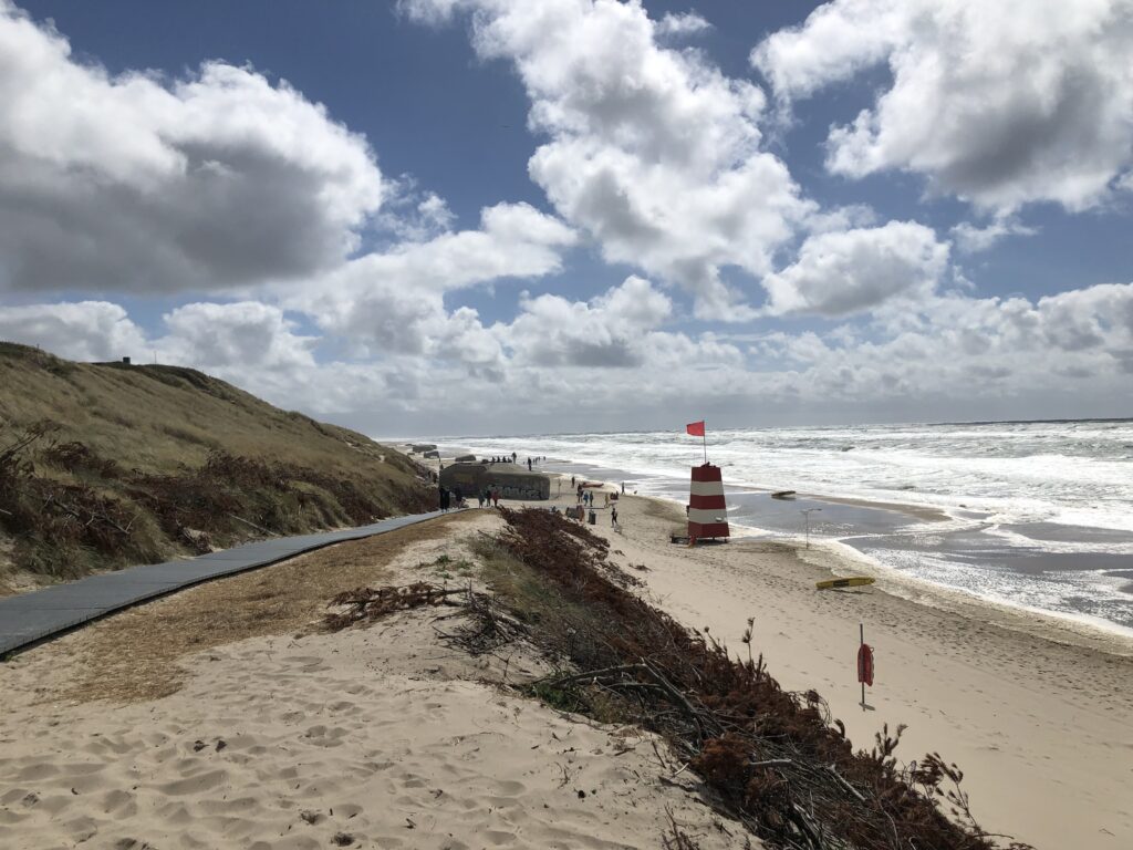
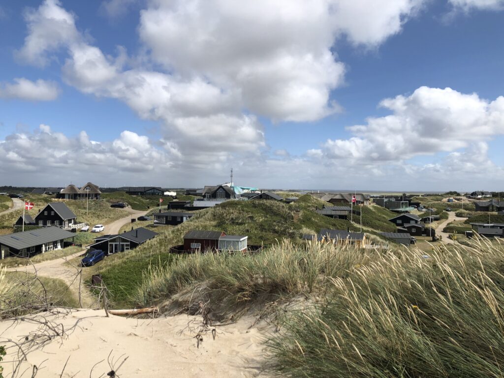
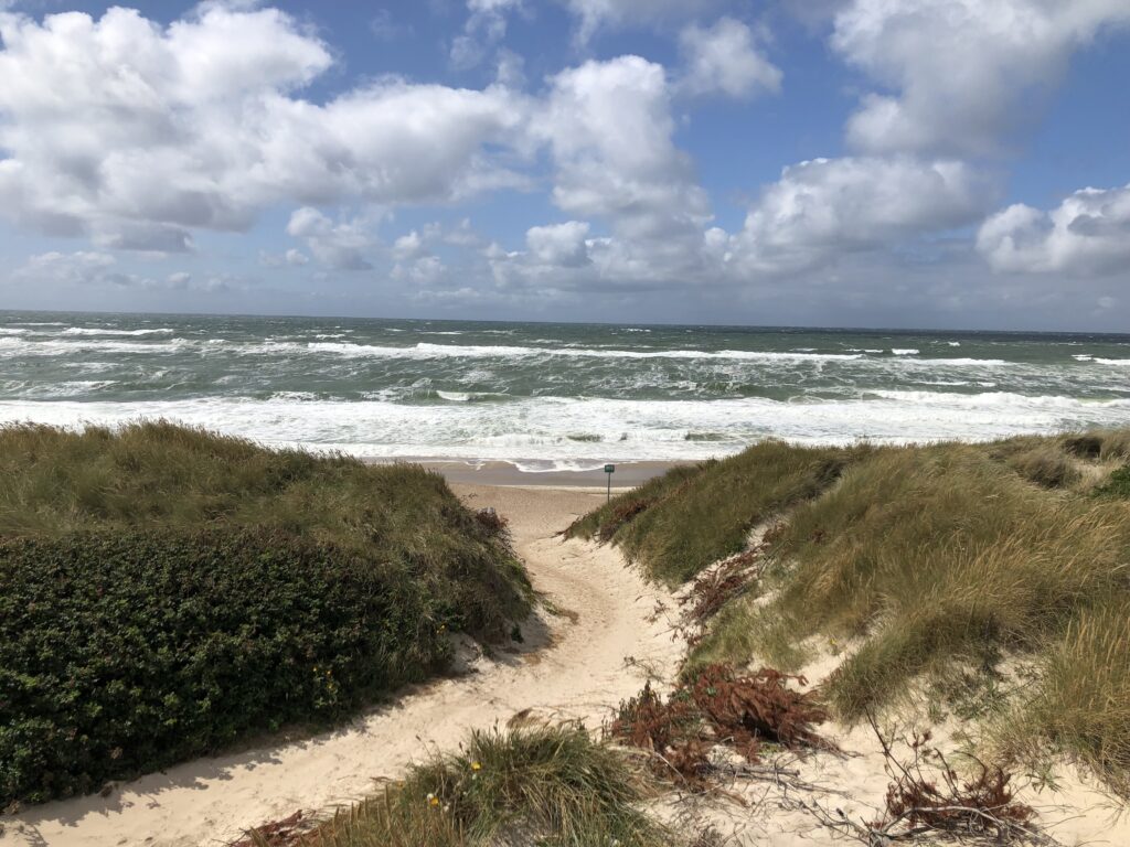
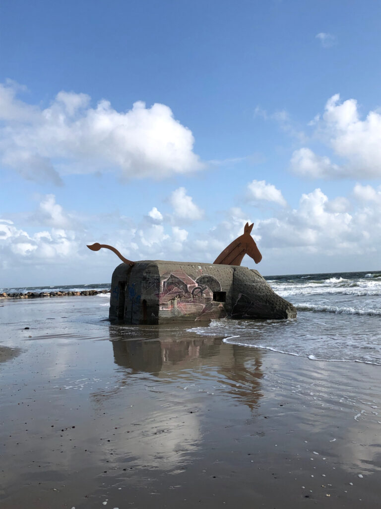
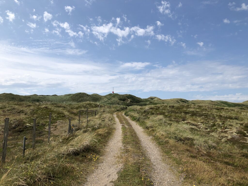
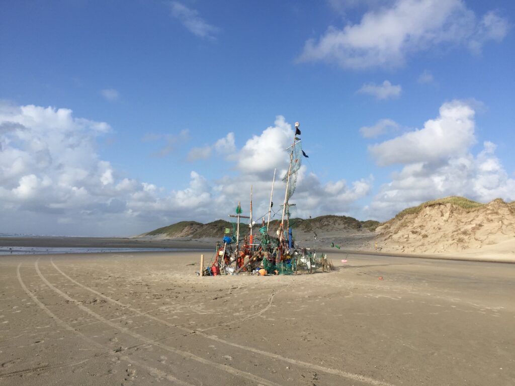
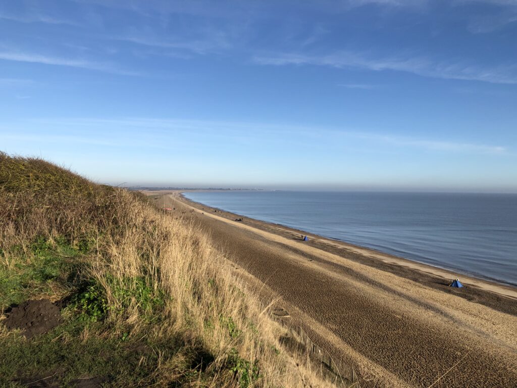
Some years ago I identified the exact location of the caravan park from my youth, and had been meaning to go on a trip down the memory lane ever since. On a very fine day in early January 2023 I finally implanted this plan and headed to Essex’s sunshine coast, starting in Walton-on-the-Naze and heading south towards Clacton, Jaywick, and St Osyth.

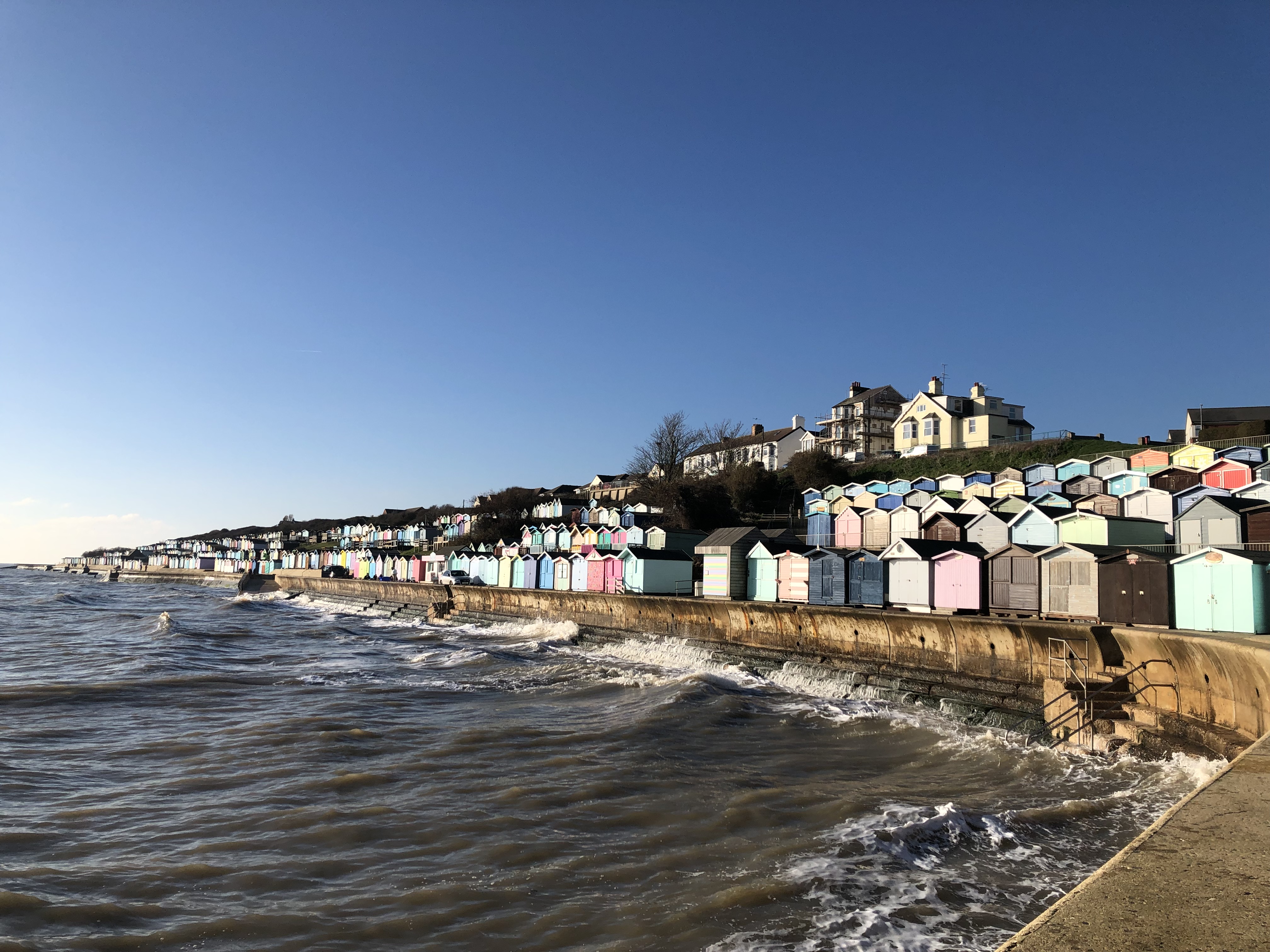
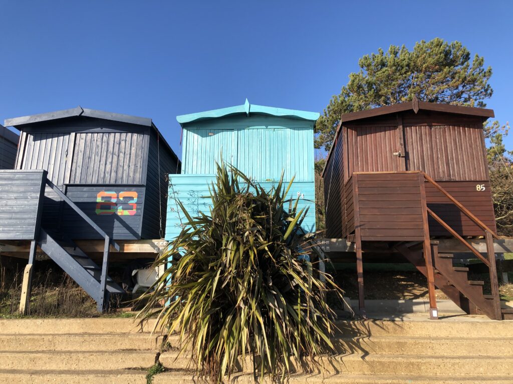
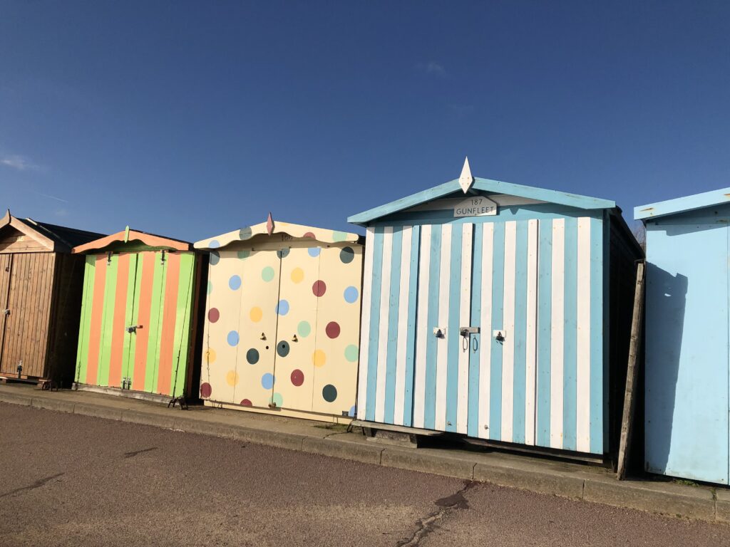
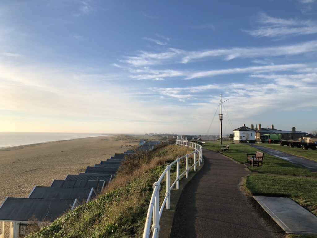
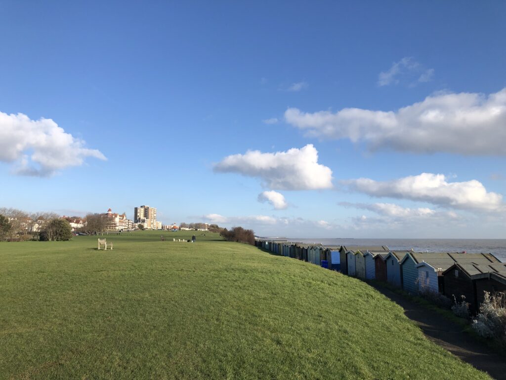
Walton-on-the-Naze has a pier, but one’s attention is quickly drawn away from it by the large number of colourful beach huts. I have been on many coastal walks, but I had never seen this many beach huts of all shapes and varieties before.

While they exist in other countries, to me beach huts feel like a very British, or maybe even English, phenomenon. This feeling might have been influence by R. C. Sherriff’s 1931 novel The Fortnight in September. It follows the Stevens family from Dulwich in south London on their annual two-week holiday to Bognor Regis. There is little discernible action, but Sherriff excels at empathically describing the hopes, dreams, anxieties, and annoyances of everyday life. Among the various trials and tribulations the Stevenses face, one concerns the “the booking of the bathing hut” which “was always done on their first evening walk”. For a long time they are on the fence about which type of hut to rent: an ordinary, plain one or a more upscale – and hence more expensive – model with a small balcony. Finally the decision to indulge in the more luxurious hut is made – but then none of that type turns out to be available! Luckily the disappointment doesn’t last long, since they are able to rent one that becomes available on the following day. General contentment results:

It could not possibly have worked out better: they would not only save five shillings, but they would enjoy the hut much more through having to wait for it. It was theirs now, to all intents and purposes: they would stroll by and look at it tomorrow: they would picture themselves grouped round it—sitting on the balcony, hanging their bathing dresses over the rails—and then on Tuesday night they would unlock the door and go in: they would sit just inside and look out over the moonlit sea, and the soft music of the band would come to them faintly on the wind.

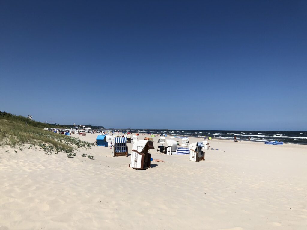
Beach huts are not popular in Germany. Instead, we have Strandkörbe – “beach baskets”, so-called because they are weaved, similarly to actual baskets. They are meant to provide shelter from sun and wind while sitting on the beach. Strandkörbe were invented in Rostock in the late 19th century, and to this day they are extremely popular on both the North Sea and the Baltic Sea coasts.

Outside of Germany, on the other hand, Strandkörbe are virtually non-existent, and hence there is not even an English term for it. One feels that their popularity must reveal something about the nature of Germanness. But it is hard to say what exactly. One salient stereotype is that Germans like to reserve spaces at the pool by putting down towels early in the morning, so a desire for securing a basecamp close to the water looks like a promising explanation. But this could arguably be fulfilled by beach huts rather than Strandkörbe as well, and so the German preference for the latter options remains mysterious to me. (A related but equally tricky question: If Austria had access to the sea, would Austrian beaches have Strandkörbe?)

To the south Walton is bordered by Frinton-on-Sea, which has no pier, and, until 2000 didn’t even have a pub. A large share of the population is retired, giving the place a quiet, conservative, and genteel character. Less flatteringly, a saying has it that while the aforementioned and nearby Harwich is for the continent, Frinton is for the incontinent.

Much of Frinton lies between the sea and the railway line. There is only one access road, and when the barriers at the railway crossings close Frinton is thus temporarily isolated from the rest of Britain. Until 2009 the railway crossing was operated manually, with a person opening and closing the “Gates” when trains approached and left. Living “within the Gates” is a status symbol, and Frintonians are passionate about them. When a plan by Network Rail to replace the manually operated barriers with an automatic system became known, fierce opposition ensued. The thought that some “lunatic in Colchester” would remotely operate the Frinton barriers shocked many residents, and a representative of Network Rail was booed at a public meeting. At a rally, slogans like “What do we want? The Gates!” were shouted. Intimated by such a forceful showing, Network Rail resorted to sneakily removing the old gates in the “cover of darkness” at 2.00am in the morning, when everyone was asleep. The whole saga is recounted in an excellent BBC documentary, which features a several interesting Frinton personalities.

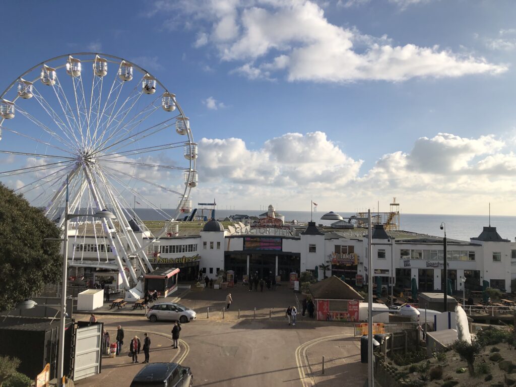
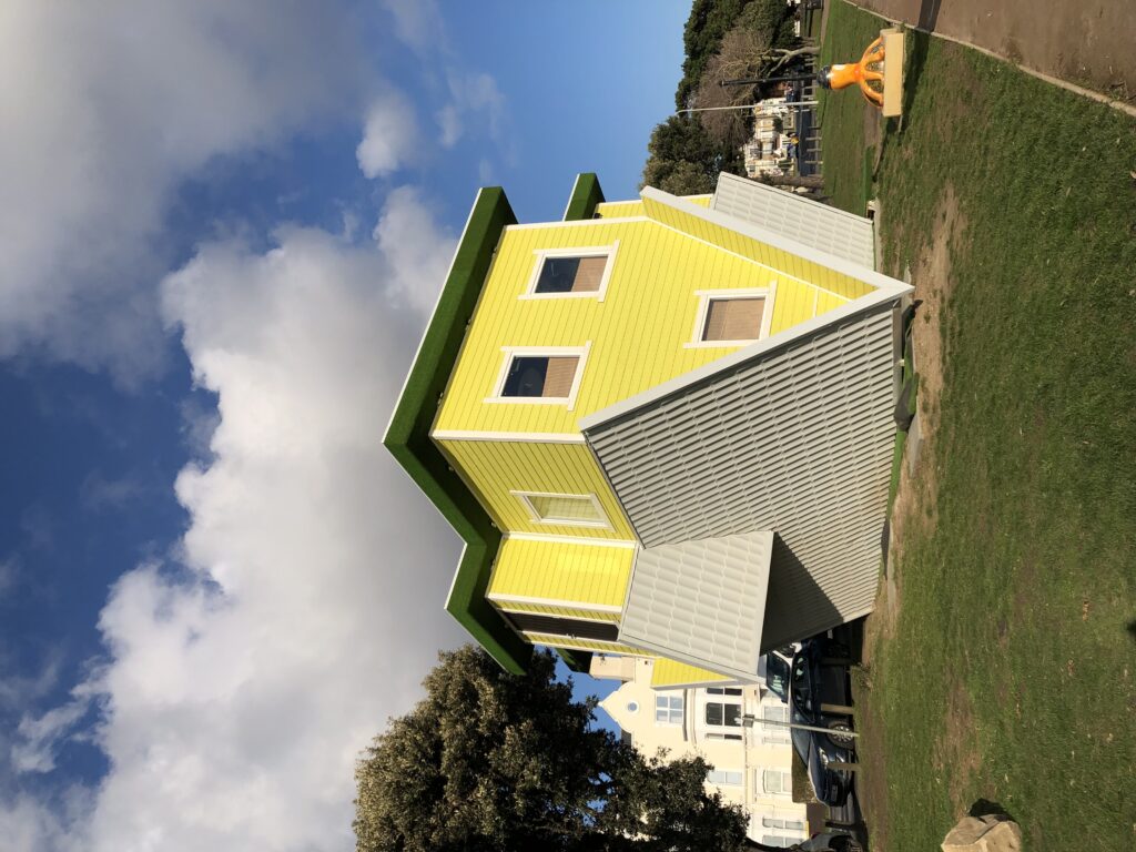
Clacton, on the other hand, is flashy, with a massive pier, a ferris wheel, amusement arcades, and an upside-down house.

I did not have much time to explore Clacton proper as I was still quite far away from the sought-after caravan park, but I spent some time playing on a penny pusher in one of the arcades. I wrote about my passion for these machines on two previous occasions, and it is now appropriate to elaborate on the origins of this fascination. On the last day of the Essex school trip, I had still around £20 in cash. Since I didn’t want to take them back to Germany I looked for ways to spend money, and stumbled across a tiny arcade that was part of the caravan park. It had a coin pushing machine, and I had plenty of fun with the approximately 1000 2p coins I threw into the machine.

Heading further south from the centre of Clacton I soon reached the coastal village of Jaywick. It is somewhat notorious for having been named the most deprived area in England several times. Until the 1930s this area was just marshland, but then developers started to encourage people to buy land at affordable rates in order to build holiday homes on it. Many made use of this opportunity, but the houses that resulted were often of poor quality and not very suitable for living in them all year round – which became more and more common nevertheless. Despite some redevelopment efforts many properties in Jaywick are in bad shape even today, and I walked past more than one boarded-up prefab along the seafront.

Given its remote location unemployment is also high, which together with the poor housing conditions leads to various other social problems. In recent years life in Jaywick has been covered in a number of documentaries, some better than others. Without such prior priming, to a casual visitor Jaywick will probably not appear more badly off than many other towns on the East coast though.

Past Jaywick the big moment has finally come: the caravan park I stayed at around 15 years ago.

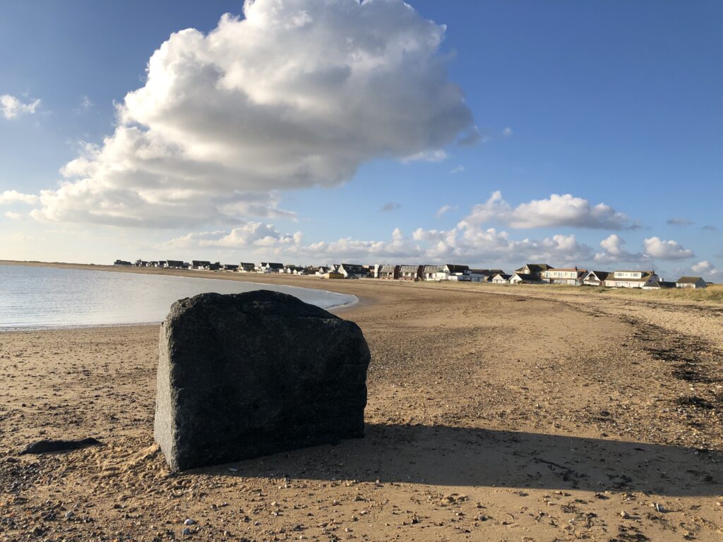
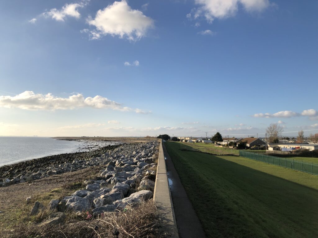
When I visited my parents last Christmas I rummaged around the attic in order to see whether any picture taken on the school trip have been preserved. Sadly I did not find anything – it might well be that I had not taken a camera at all – and so I only have my vague memories to compare the current impression with. While the caravan park itself looks pretty much like any other, I do quite vividly recall the dark stone groynes from lonely walks along the sea wall.

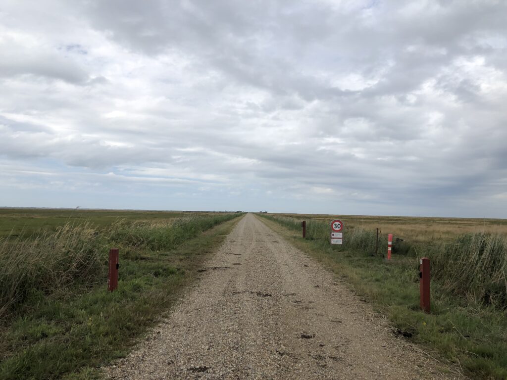
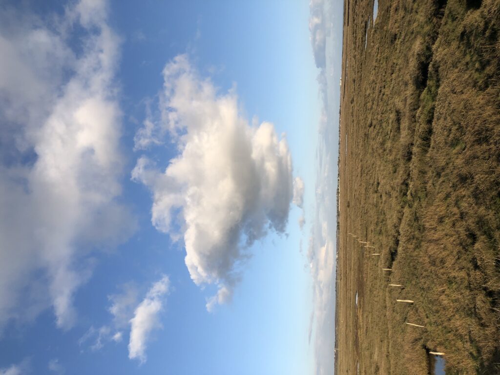
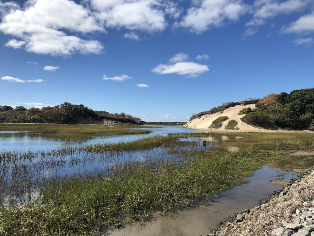
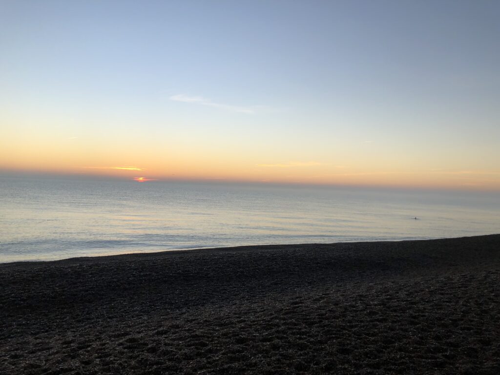
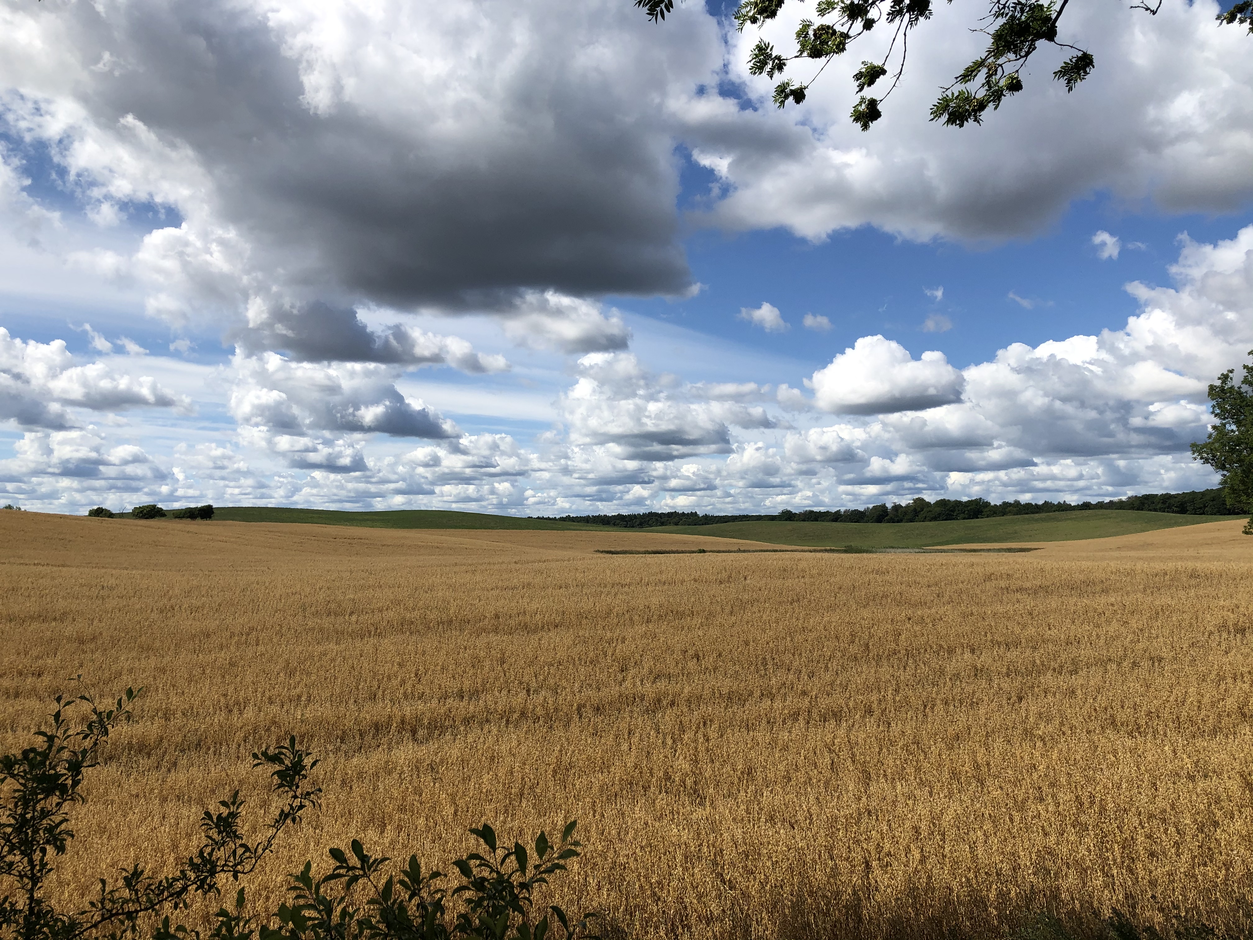
Beyond the caravans the salt marshes begin, and my visit to the past ends under a wide and open sky.

A Newfound Interest in Massachusetts

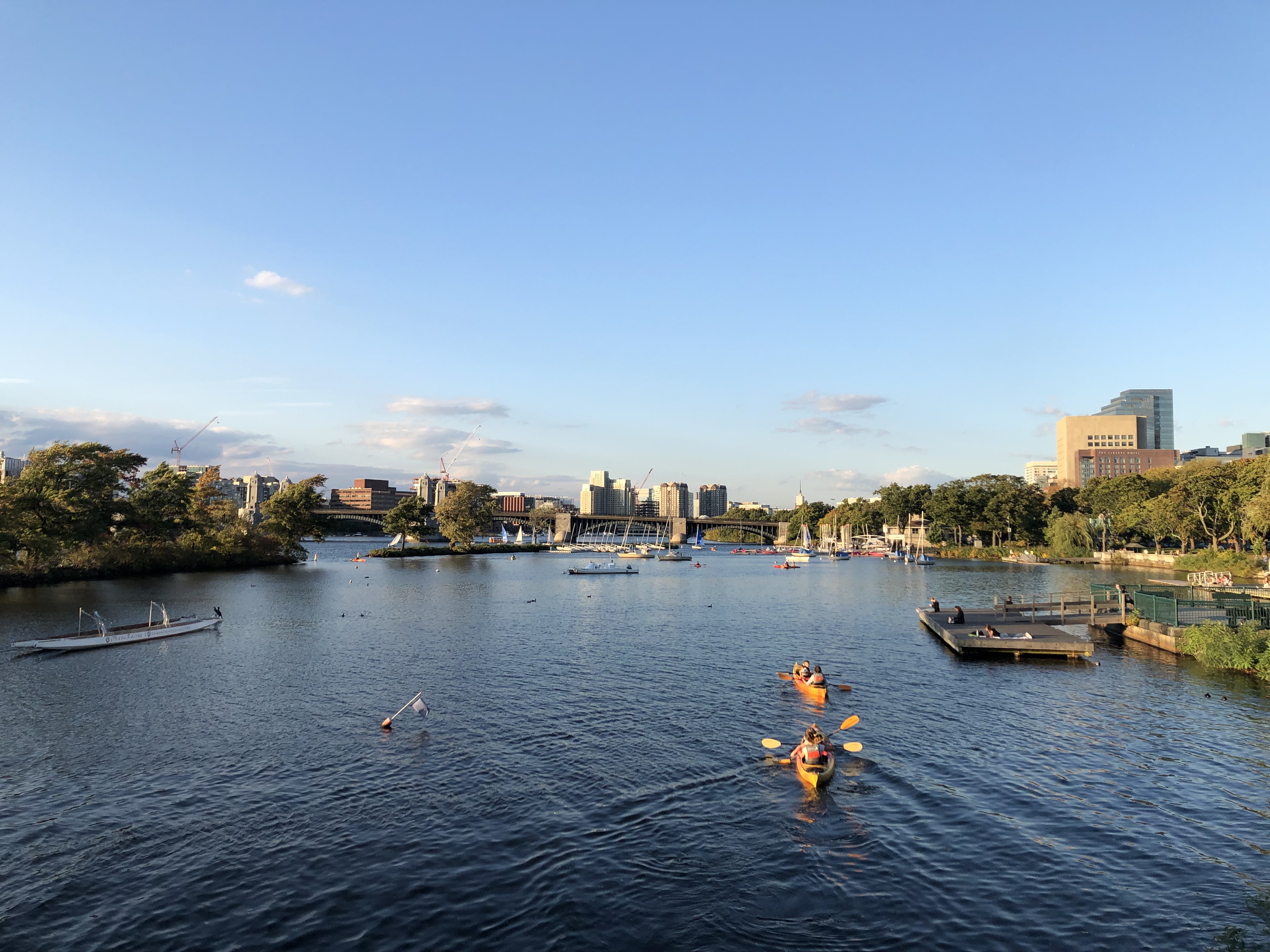
In the autumn of 2022 I lived in Massachusetts for two months. I stayed in the city of Somerville, the northern neighbour of (the other) Cambridge, which is in turn separated from the city of Boston by the Charles River (see header). American cities, towns, and other municipalities tend to be small, and in order to simplify matters no harm is done by saying that I lived in Boston.

When I arrived in early September the weather was splendid and it remained so until I left in early November, so there were plenty of opportunities to go on walks. Since I like combining theory and practice I had hoped to use Henry David Thoreau’s writings as a guide to exploring Massachusetts. Thoreau lived in Concord, a small town roughly 15 miles to the west of Boston, which was also home to various other writers. Nowadays Concord is part of the Boston suburbs, but it has remained relatively quaint and idyllic. Thoreau occasionally suggested that everything of interest is contained in it, commenting that “most of the phenomena noted” in an account of an expedition to the Arctic “might be observed in Concord”. He thus saw no need to travel very far or very often. Thoreau was an enthusiastic walker, however, and wrote extensively about his ramblings around Concord and other parts of Massachusetts and New England.

On paper this seemed like a perfect fit. Just as Sebald, M. R. James, and Graham Swift provided inspiration to explore various parts of East Anglia, Thorau could lead me to interesting areas in Massachusetts. Or so I imagined. For when it came to actually reading Thoreau, I found the experience unenjoyable. I strategically avoided Walden because I was worried that its use in inspirational quotes would put me off, and instead started with the promising-sounding essay “Walking” from The Atlantic. But the writing style struck me as so annoying and pretentious that I didn’t manage to finish it. I tried Thorau’s Concord-neighbour Ralph Waldo Emerson’s “Country Life” as well, with similar results.
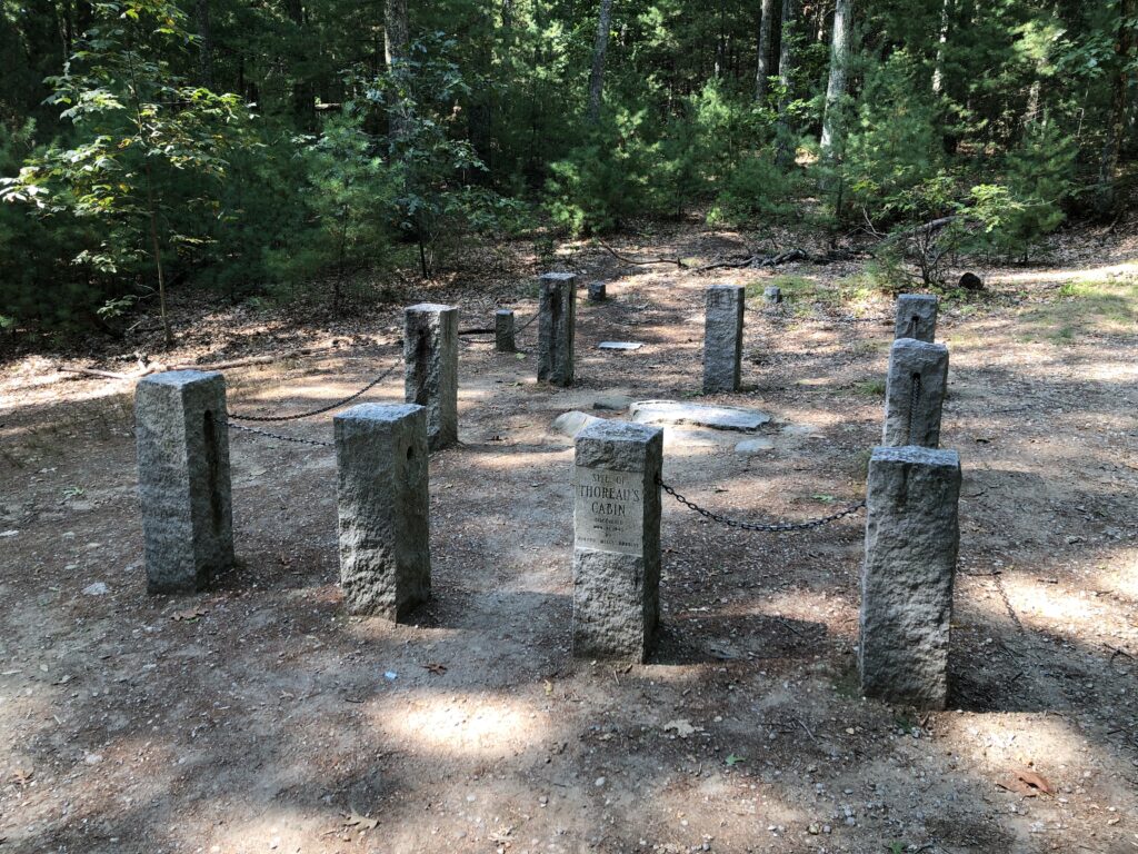
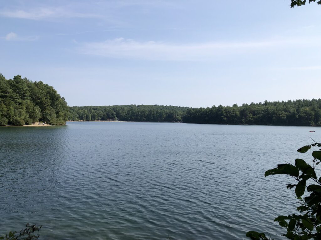
These disappointing encounters led me to set the theory of walking aside in favour of the actual activity. On an especially warm Sunday I thus took the train to Concord to explore the famous Walden Pond, home to Thoreau’s attempt to live in the woods. The site of this cabin is located conveniently close to the town centre, and it was pleasant to swim in the pond.

In “Walking” Thoreau makes the following observation about access to land:

At present, in this vicinity, the best part of the land is not private property; the landscape is not owned, and the walker enjoys comparative freedom. But possibly the day will come when it will be partitioned off into so-called pleasure-grounds, in which a few will take a narrow and exclusive pleasure only, — when fences shall be multiplied, and man-traps and other engines invented to confine men to the public road, and walking over the surface of God’s earth shall be construed to mean trespassing on some gentleman’s grounds.

This prediction has, sadly, become reality. Nowadays Eastern Massachusetts is very densely populated, and land to roam around in is sparse. Being the Bay State, I had for instance assumed that there would be plenty of coastal walks, but this turned out to be incorrect. For while there is not shortage of coast, there are no public rights of way as they exist in Britain, and so it is largely inaccessible for everyone apart from the owners of the relevant properties.

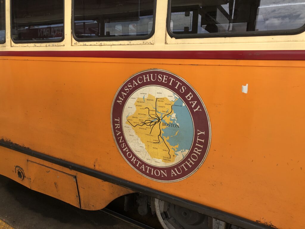
Finding good places to walk was thus a bigger challenge for me than for Thoreau, especially since they had to be reachable by public transport. One good option was the Skyline Trail in the Blue Hills to the south of Boston, since both its start and end point are reachable by bus. Sort of, at least. First I had to take the cute Mattapan Trolley which relies on streetcars that were originally built in the 1940s. When I wanted to tap my card to pay the fare after boarding, the driver kindly told me that this is unnecessary, since no one else ever pays either.

At Mattapan I then waited for the somewhat mysterious bus 716 that was supposed to bring me to the trailhead. This is the bus with the highest number in the whole system, and it is operated by an external contractor, not the MBTA (which runs most of the public transport in the Boston area). At the station there was a timetable, but no indication of where exactly the bus would depart. Close to the scheduled time a vehicle appeared that did not look much like a regular bus, but had a paper sign saying “716” on it. I was the only passenger. The fare was collected by putting cash into a box, and it was not necessary to have enough for the full fare. The in every way excellent Miles in Transit blog contains a more detailed review of this unusual route, though unlike the one described there my driver was very pleasant, and so I could soon start exploring the Blue Hills.

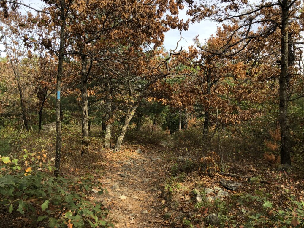
The Skyline Trail was scenic and interesting, with many rocky ascents and descents. My only complaint is that the official routing leads one to a point where Massachusetts Route 28 needs to be crossed without a traffic light or zebra crossing. When I arrived at this point the road was incredibly busy, with no gaps in the traffic in either direction. I did not feel like trying to get the cars to stop by boldly venturing ahead, and luckily managed to find a nearby crossing with traffic lights. There is an initiative to improve the routing of the trail already.

Eventually I decided that I should give Thoreau another chance. This time I approached his work in a more indirect way by buying Ben Shattuck’s recent book Six Walks. It starts with the author experiencing an existential crisis. In order to overcome it, he decides to retrace a walk by Thoreau along the eastern beaches of Cape Cod. This outing is a success, and he proceeds to go on a number of other Thoreau-inspired walks. By the end of the book the existential crisis is overcome, and one will be pleased to find that the Shattuck’s life is now going extraordinarily well.

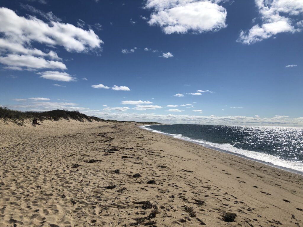
Six Walks made me curious enough to pick up Thoreau’s Cape Cod, and I also booked the ferry from Boston to Provincetown for the last weekend before the season ended. Thoreau describes taking the ferry during his own time as follows:
Mild as it was on shore this morning, the wind was cold and piercing on the water. Though it be the hottest day in July on land, and the voyage is to last but four hours, take your thickest clothes with you, for you are about to float over melted icebergs. When I left Boston in the steamboat on the 25th of June the next year, it was a quite warm day on shore. The passengers were dressed in their thinnest clothes, and at first sat under their umbrellas, but when we were fairly out on the Bay, such as had only their coats were suffering with the cold, and sought the shelter of the pilot’s house and the warmth of the chimney.

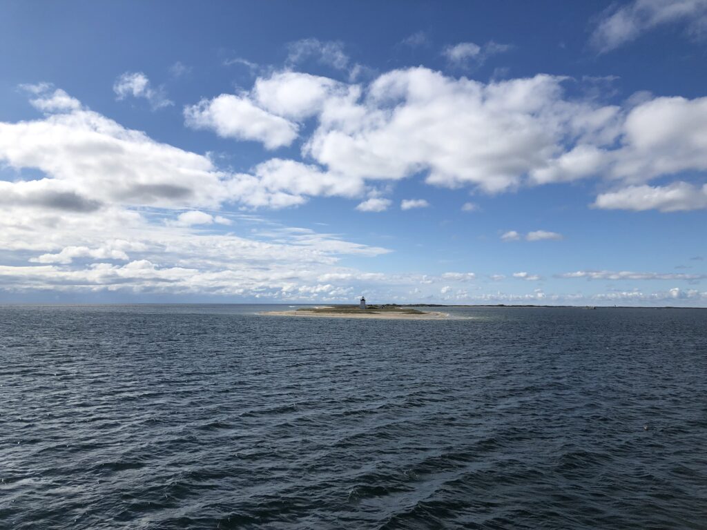
I can confirm that this is still accurate. I had planned to stay on deck during the whole journey, which nowadays only takes 90 minutes, but it quickly became very cold, and contrary to Thoreau’s recommendations I had not brought warm clothes. I hoped that I could at least be resilient enough to be the last person to retreat to the cabin, but unfortunately did not manage that either.

Cape Cod was beautiful and reminded me of Denmark, which is a good thing. A connection to East Anglia is established by the following anecdote about beach peas Thoreau found in a scientific article about the plants on the Cape:

We read, under the head of Chatham, that “in 1555, during a time of great scarcity, the people about Orford, in Sussex (England) were preserved from perishing by eating the seeds of this plant, which grew there in great abundance on the sea-coast. Cows, horses, sheep, and goats eat it.” But the writer who quoted this could not learn that they had ever been used in Barnstable County.

This story is taken from John Stowe’s The Chronicles of England, in which we find that the Orford in question is actually the one in Suffolk, south of Aldburgh. According to Stowe the beach peas in question miraculously appeared when food in the region was scarce. Word about this apparent miracle reached the Bishop of Norwich, who came to investigate but only found rock. And this is not even the most unusual thing said to have happened in Orford. Stowe’s chronicle also contains the tale of a wild man that came from the sea, originally noted by Ralph of Coggeshall:
Near unto Orford in Suffolk, certain Fishers of the Sea took in their nets a Fish having the shape of a man in all points, which Fish was kept by Bartholomew de Glanville, Custos of the Castle of Orford, in the same Castle, by the space of six months and more for a wonder: he spoke not a word. All manner of meats he gladly did eat, but most greedily raw fish, after he had crushed out all the moisture. Oftentimes he was brought to the Church, where he shewed no tokens of adoration. At length when he was not well looked to, he stale away to the Sea, and never after appeared.
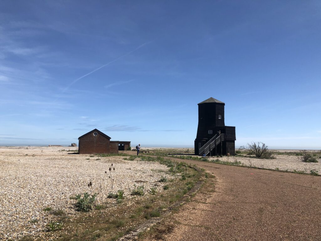
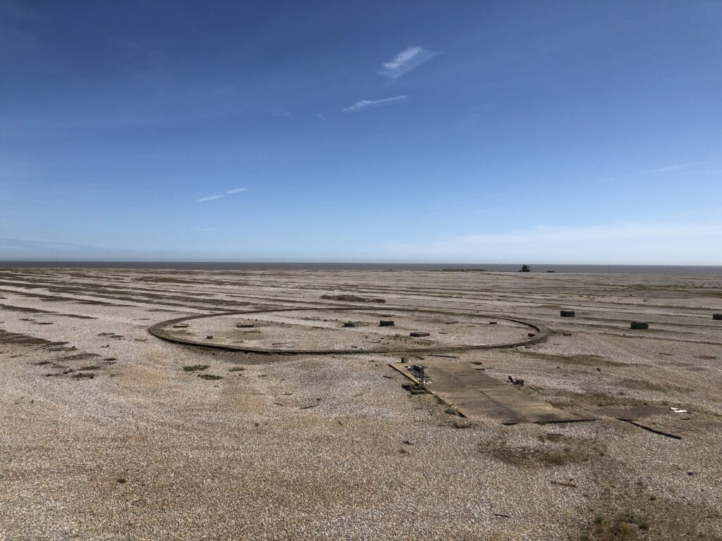
Orford and environs continued to attract excitement well into the 20th century. The Orford Ness peninsula was used for various military experiments and as a base for radar transmitting stations. Until 2020, when it had to be demolished due to erosion, there was also a lighthouse. While not unusual for coastal places, this particular lighthouse arguably played a role in what is known as the Rendlesham Forest Incident. In 1980 personnel of the US Air Force were stationed at the RAF base in Woodbridge, at the edge of Rendlesham Forest. One evening in December one of the Americans, a Colonel Halt, observed unusual lights which he took to be UFOs. The story took off and received plenty of coverage, with some going as far as calling it “Britain’s Roswell”. Supposing that there were no actual aliens involved, the Orfordness lighthouse is a likely candidate for being the source of the unusual lights of that December night.

This brings us back to Massachusetts. The western part of the state is more hilly and less densely populated than the east, and the Berkshires in the far west are a popular holiday destination both for New Englander and New Yorkers. It is there where, on September 1st 1969, a UFO incident took place which is famous enough to have made it into a Netflix mystery documentary. Supposedly over 250 people saw mysterious lights in the form of white orbs, and some even reported being abducted. The documentary remains neutral and does not aim to debunk the story, but it nevertheless left me unconvinced. 250 witnesses are a high number, but most of the coverage relies on a small number of especially vocal people. It is claimed that the local radio station received dozens of calls on the night of the indecent, but since there are no recordings this is impossible to verify. Newspapers from the following days and weeks, on the other hand, are still around, but no mention of the incident could be found in any of them. One explanation for this is a conspiracy to hide the true facts about UFOs, but is it the best one?
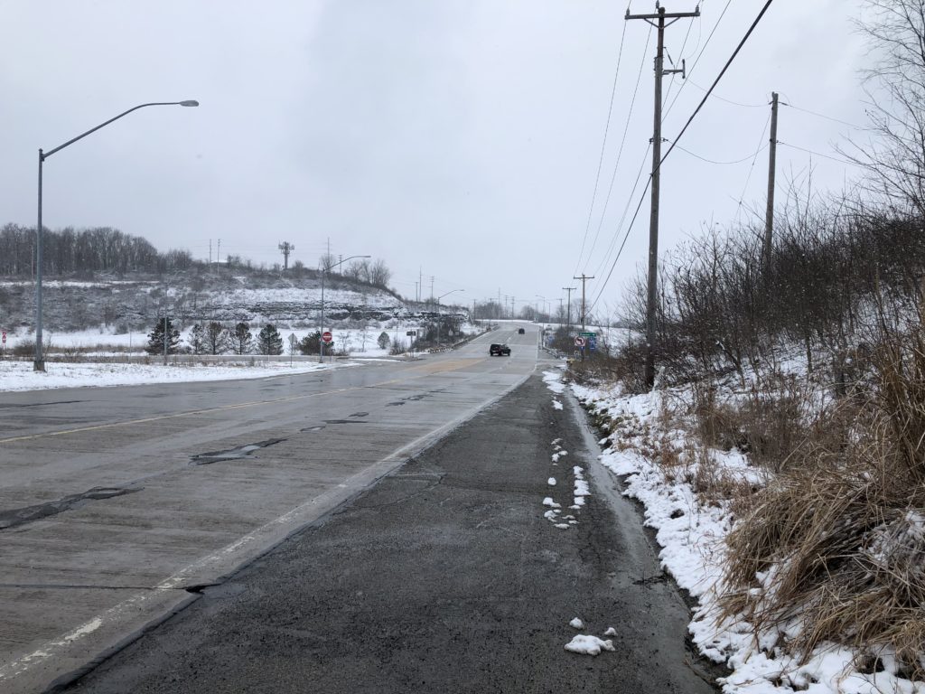
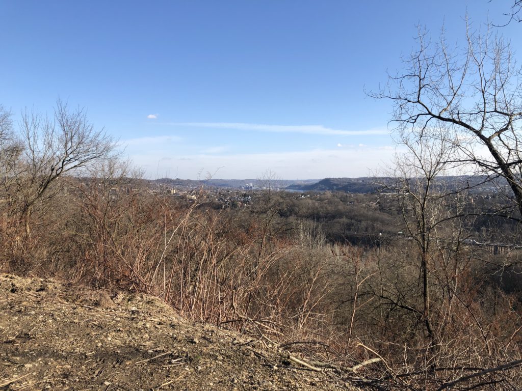
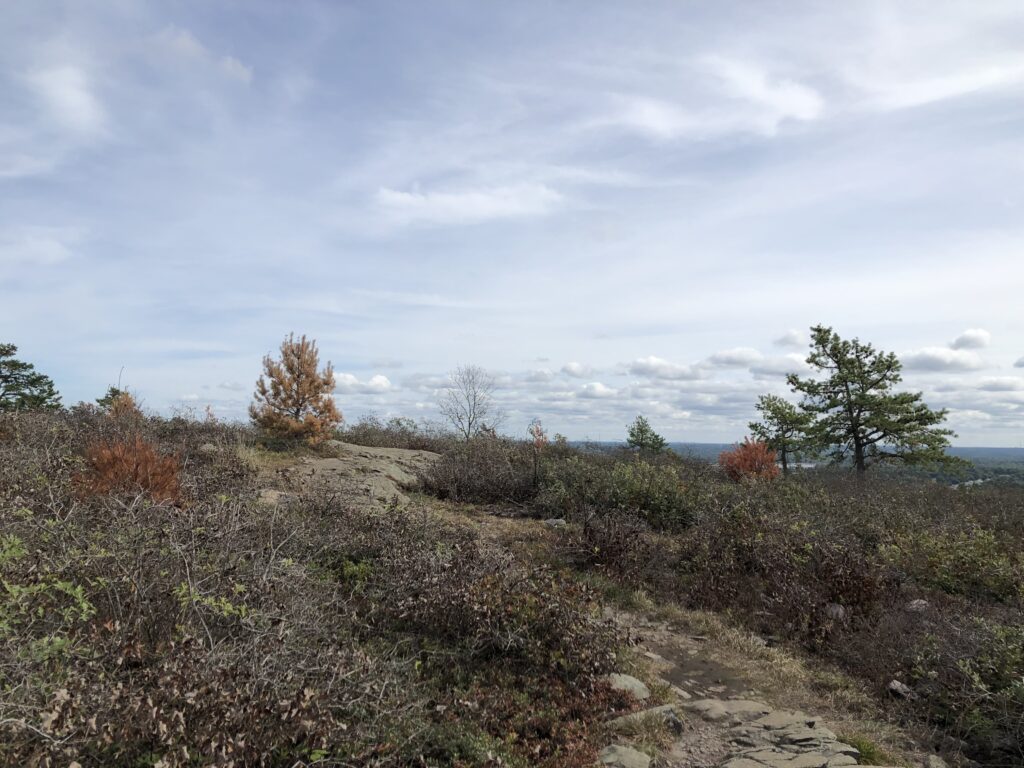
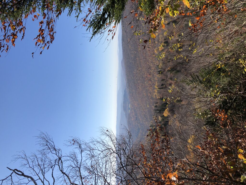
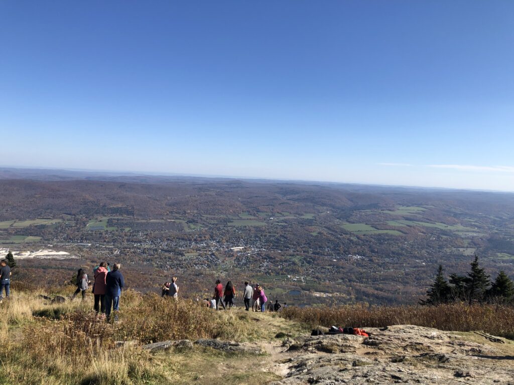
In late October headed to the Berkshires myself by taking the Amtrak from Boston to Pittsfield. Not to find aliens but rather to hike up Mount Greylock, which at 1,063m is the highest point in Massachusetts. Once again detailed stories about buses could be told, but I will spare readers and just note that I successfully made it to the top, enjoyed the view, and equally successfully descended back down into the valley.

Thoreau visited Mount Greylock as well, as did Shattuck, as did Bill Bryson. The most memorable literary representation of the Berkshires I have come across, however, is Edith Wharton’s short, bleak, and beautiful Ethan Frome. Its readers will likely avoid sleds for the rest of their lives. In sum, Massachusetts thus did not disappoint: It had plenty to offer for walkers both of the theoretical and the practical kind.

Suffolk Coast (Part 3)

It has been a while since the last report on East Anglia proper, but I have not been completely inactive. In September 2020 I completed the Norfolk Coast Path by walking the last two missing stretches: from Winterton to Great Yarmouth, following the footsteps of Robinson Crusoe, and from King’s Lynn to Hunstanton. Most of 2021 was then spent on the continent. Ever since starting this project in early 2019, I had wanted to continue walking the Suffolk Coast Path, in particular the route from Southwold to Aldeburgh. I put this off many times because, due to the lack of public transport in this area, one has to stay overnight, and accommodation tends to be pricy. Early January 2022, however, seemed an excellent time to finally go ahead with the plan.

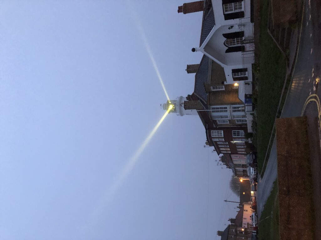
After taking two trains and a bus I arrived in Southwold in the late afternoon. It was a rainy day and the light was already fading. The extended period of darkness had an upside: I could thoroughly enjoy the lighthouse in action. It is more widely known through beer and the movie Yesterday, in which a temporary global power outage coincides with everyone forgetting about the existence of the Beatles. There is one exception: the Lowestoft-based protagonist of the film still remembers their music, which comes in handy since he is a so-far unsuccessful songwriter. He is hit by a bus during the power outage, and in this scene the Southwold lighthouse is shown as the electricity comes back on.

After walking along the beach in the dark for a while I started to look into dinner. Since this was the seaside fish and chips seemed the most sensible option. I got some and went to a pub to eat them with a drink. As it happened the only other guests at my hotel sat at an adjacent table, and they soon struck up a conversation. They were a couple from Bedford who shared my surname – which had led to confusion while checking in – and also knew Cambridge well. Eventually the question of what the best Cambridge pub is was brought up. This led to two other people joining the discussion, who were partly based in Cambridge and partly in Southwold. They had come to the pub to celebrate a major victory. After a protracted dispute that apparently lasted several years, one of them had finally been granted planning permission to build a greenhouse on the roof of his house.

Planning permission is a serious matter that can cause much frustration. A striking example is that of Fidler’s Castle. In the early 2000s, the farmer Robert Fidler wanted to build a Castle-like house on his land in Surrey, but was denied planning permission since the farm was on protected Greenbelt land. He tried to get around this obstacle by exploiting a loophole in the regulations. If a structure is built without planning permission and the local authority doesn’t object within four years, it is allowed to stay. Fidler thus built his castle and surrounded it with large haystacks so no one could see it. The haystacks were then removed after four years. But the local authorities were not impressed by Fidler’s creativity. They argued that hiding the castle made the four year period invalid. After a long legal dispute Fidler had to give in and the castle was demolished.

I had been lucky in selecting the date for the walk. The next day the weather had turned around and it was bright and sunny.

Like for many other people, my major source of inspiration for walking the Suffolk Coast had been W. G. Sebald’s The Rings of Saturn. In the book the walk is quite a gloomy affair. Robert Macfarlane, in the documentary Patience (After Sebald), reports that on his own attempt to retrace Sebald’s steps the weather was really nice as well. Consequently the experience was very different from that described in The Rings of Saturn. Too much sun is a good problem to have though, especially in January, and I therefore have no complaints.

I only recently learned that the cultural theorist Mark Fisher also wrote a number of pieces on East Anglia. An especially interesting one is this rare show of dissent against unreflective Sebald-fandom. One of Fisher’s criticism is that Sebald is insufficiently receptive to the Suffolk landscape, in the sense that he merely projects his own concerns into it and could have written the same book about any other area. Another criticism is that Sebald doesn’t engage with previous attempts to make literary sense of East Anglia. One key example of this omission are the stories of M. R. James.

James was a medievalist at King’s College, Cambridge, who also wrote ghost stories. Many of them feature somewhat absent-minded academics, and two of the most well-known ones – Oh, Whistle, and I’ll Come to You, My Lad and A Warning to the Curious – are set in Suffolk. I originally came across James’ stories when I went to Felixstowe for the first time, because it is the setting of Oh, Whistle. (Coincidentally, on a more recent visit, I saw one of the people from the pub in Southwold striding along the seafront). A Warning takes place in Aldeburgh, the destination of my current walk.

The protagonist of Oh, Whistle is a professor called Parkins, who, while on holiday, finds a whistle with a mysterious inscription. After blowing the whistle twice he starts to have disturbing dreams and feels like he is being followed. Things only get worse as time passes. One night he wakes up and sees the sheets of the second bed in his room moving around on their own. He is saved, so one can assume, by a concerned friend who enters the room. In the end the whistle is thrown into the sea.

The BBC adapted this story, as well as A Warning, for television. In the TV version Parkins’ character is strikingly different from the story. James describers him as a young and confident professor of “Ontography”. In the adaption he is an older and extremely awkward professor of philosophy. Fisher’s last book, The Weird and the Eerie, contains an illuminating essay in which he calls the TV-Parkins  a ”crumbling logical positivist”, who, “in the manner of A.J. Ayer, is wont to dismiss the concept of life after death as devoid of meaning”. There is something to this. During breakfast, another guest asks Parkins whether he believes in ghosts. Instead of giving a straight answer, Parkins worries that we do not really understand what believing in ghosts means, since it is not clear how their existence could be confirmed or disconfirmed. In this respect ghosts compares unfavourably with Australia.

A Whistle was adapted and directed by Jonathan Miller, who, as can also be seen from the Beyond the Fringe “Oxbridge Philosophy” sketch, was clearly well acquainted with the British philosophical scene of the 1950s. Parkins uses jargon such as “grammatical appearance of a real question”, “logical difference of usage”, and keeps asking whether “we would want to say” this or that in various imagined scenarios. In this respect Parkins’ breakfast thoughts on ghosts are more in line with the stereotypes associated with the ordinary language philosophers in the wake of Wittgenstein, however, rather than the logical positivists. The more salient comparison is J. L. Austin, not Ayer.

The latter was not as dismissive towards life after death as Fisher’s quote suggests anyway. Already in the early Language, Truth, and Logic, Ayer grants that there are ways to understand this idea on which the hypothesis that life continues after death is perfectly meaningful, even though probably false. And he revisited this topic very late in life, in response to a near-death experience caused by a piece of smoked salmon that “went down the wrong way“. For Ayer the biggest problem with ghosts concerns personal identity. He thinks that one cannot explain the identity of people over time without recourse to their bodies. Since ghosts have none, no such explanation is available. Does this consideration, if sound, show that ghosts are impossible? It seems so, provided that it is essential for a ghost to have once been a person. Creatures that interact with the world despite having no body, on the other hand, are not immediately excluded.

I arrived in Aldeburgh and watched the sun set. Since it was still the seaside fish and chips again seemed a sensible option for dinner, and I went to another pub to have them. This evening was more quiet than the last.

The east coast is the perfect place to watch the sun rise, and so I got up early to do this before breakfast. As I was watching an old lady cycled past me, stopped not too far away, and went for a swim in the sea. Within the next half hour three more old ladies came along and joined her, plus an additional one to watch the proceedings. The latter told me that they do this every day, and asked me whether I would join. I politely declined, citing my lack of bathing trousers.

Flat Austria

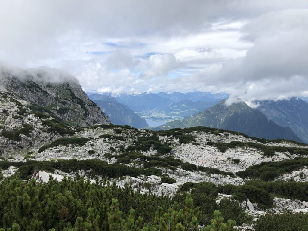
For the last few months I have been living in Vienna, which is my first extended stay in Austria. The first line of the country’s national anthem is “land of mountains”, and I have indeed gone for several walks in areas with, at least for me, impressive levels of elevation. It certainly has its own appeal, and I might actually miss mountains when I move back to flatter parts of the world. But of course I also wanted to investigate the flat parts of Austria itself.

As usual I did some thorough research on Vienna before moving there, which chiefly consisted in watching Austrian movies and tv shows. One of those movies immediately became one of my all-time favourites, and I have re-watched it several times: Indien with Josef Hader and Alfred Dorfer. It revolves around two employees of the federal state of Lower Austria, whose job it is to inspect hotels and restaurants around the state. In this role they check whether, as regulations demand, the Wiener Schnitzel is actually made of veal, and investigate the consistency of the bread rolls as well as the water pressure of the showers.

The two protagonists – Mr. Bösel and Mr. Fellner – have very different personalities, to say the least. Bösel drives recklessly while drinking beer, throwing the empty cans out of the window or into the back of the car. Fellner fancies himself an intellectual, carrying around Trivial Pursuit cards and theorising about the relationship between geography and local cuisine. The popularity of cakes and pastries in Austria, for instance, is allegedly explained by the mountainous landscape.

Unsurprisingly spending days together on the road quickly leads to conflicts between Fellner and Bösel, to great comedic effect. In the end an unlikely but touching friendship emerges though, and the film then takes a sad turn I will stay silent about here. (There’s a DVD which apparently has English subtitles, and in German it is available to stream).

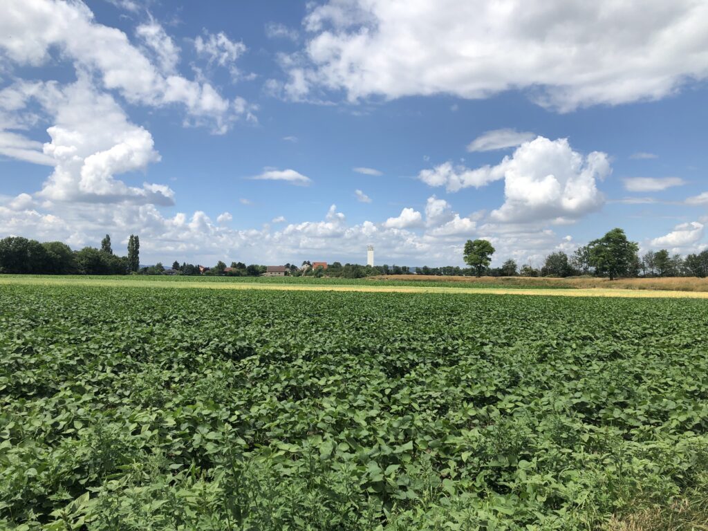
Through Indien I found what is, in effect, the East Anglia of Austria. One scene has the protagonists driving through a completely flat landscape composed of muddy fields and long straight roads, with the occasional railway line cutting through. There were even oil pumps, like in Texas. Where could this be? By freezing the frame and zooming in on the road signs it became clear that they were in the Marchfeld, an area to the northeast of Vienna dominated by agriculture.

Of course I now wanted to find out as much as possible about the Marchfeld region, but there seemed little to go on initially. Eventually I came across a novel set in the area though, which in my experience is always an excellent resource: Matthias Mander’s Wüstungen (Deserted Villages) from 1985. The book was long out of print, so I went to an antiquarian bookshop in Vienna to get a copy. The bookseller was curious to learn more about the author of the book, since apparently his novels sell quite well even though he is not a household name. I said that I didn’t really know any details either, since my interest in the book was for geographical reasons. It seemed unlikely to both of us that the other buyers share my passion for flat landscapes.

My expectations about the literary quality of the book were modest, since I feared that it would be a bit dated. But I was positively surprised. It is certainly no equivalent of Waterland, the Great Fenland Novel discussed on an earlier occasion, but I enjoyed reading it nevertheless. The plot is roughly as follows: the protagonist Zwigott is frustrated with his high-profile industry job in Vienna, and quits in order to work as a school teacher in the Marchfeld town of Gänserndorf. His life gets entangled with that of other inhabitants, such as the troubled bank director Siegl, who is trapped in an unhappy marriage and finds a tragic end. He also develops an interest in the history of the Marchfeld. Towards the end of the book he goes on a long, lonely walk to look for an abandoned village, even though it is an unusually hot summer. This walk leads to “character-forming insights”, so the chronological summary at the beginning of the book, and in the end Zwigott returns to his industry job.

Some aspects of the novel felt a bit gimmicky, such as that the teachers are using a computer to write something like an interactive history of the Marchfeld – although in some sense putting hypertext in a book from 1985 is of course quite original. But I did enjoy the detailed descriptions of travelling on commuter trains, and learned various interesting facts, such as that Ernst Mach grew up in the Marchfeld, or that the construction of the now existing canal through the Marchfeld was a controversial issue at the time. And the following remark, translated somewhat freely, certainly resonated with me:

The oppressive absence of the sea! We’re in the middle of a scorching hot continent, with a few shallow ponds as our only relief.

For while I like Austria’s mountains, I do not enjoy it’s lack of ocean access. All the land surrounding me does sometimes feel oppressive. But luckily the lakes and rivers are much more than mere ponds.

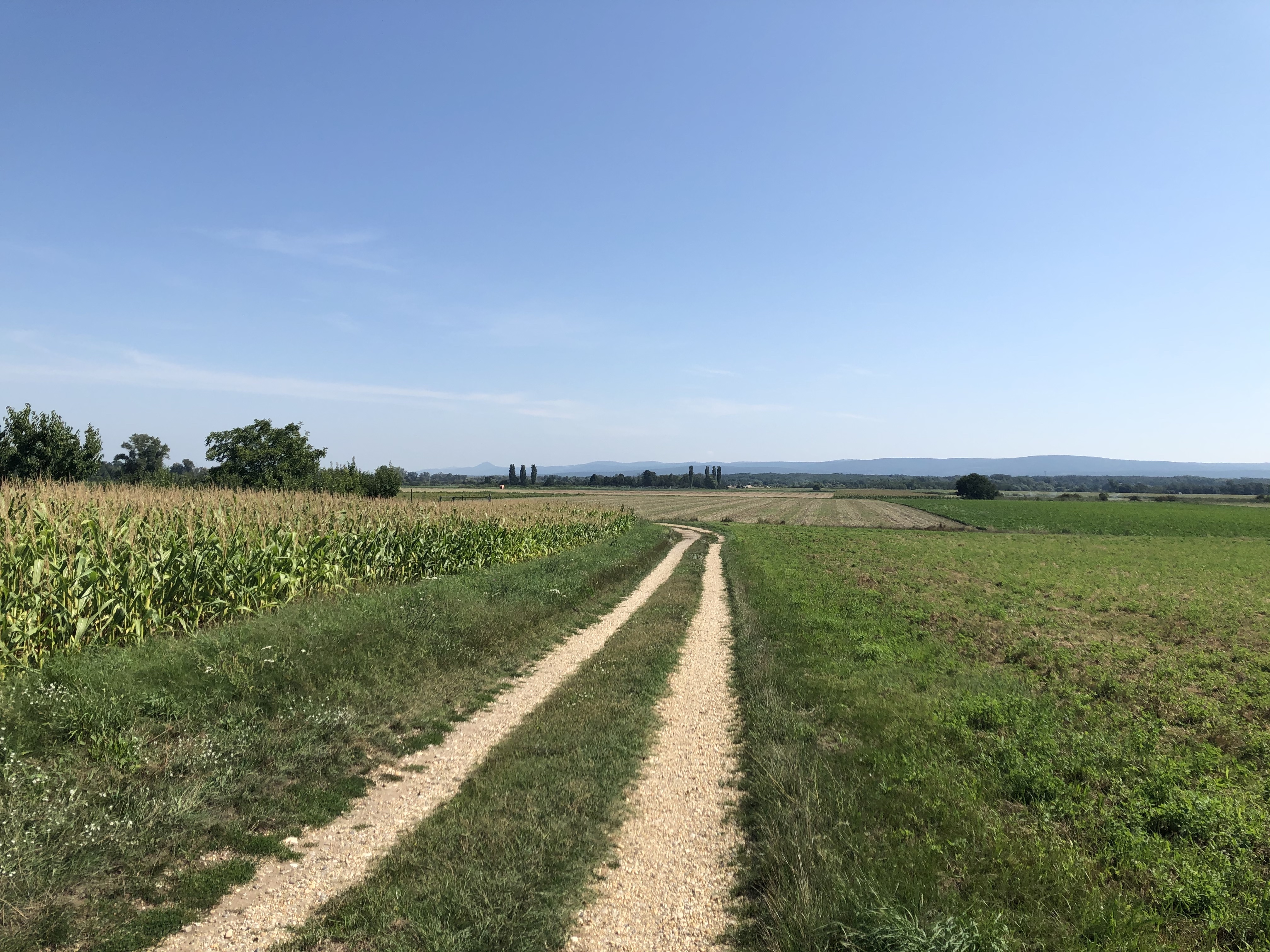
After all the cultural input I obviously wanted to experience the Marchfeld in real life. Unsurprisingly there were not many descriptions of walks in this area available online, as people usually head out of Vienna because they find it too flat already. But I found a promising route on, of all places, a mountaineering forum. I was a bit unlucky during this walk though. For one thing, I really wanted to take the most direct route to Marchegg, the starting point, since it features Austria’s longest stretch of completely straight railway tracks (~30 km). When I read about this I was reminded of the railway to Great Yarmouth parallel to the Acle Straight, only that at the end there is Slovakia rather than the sea. But it was not to be, as there are constructions works on the line all summer.

I made it to the starting point anyway, on a day that was definitely as hot as that on which Wüstungen’s hero Zwigott gained his life-changing insights. This would have been fine, as I was well equipped with a hat and lots of water. But part of the walk also lead to a jungle-like area with thick vegetation and lots of water, the perfect terrain for aggressive midges. The intended route right through the middle of this jungle was closed due to some unspecified “imminent danger”, which was maybe for the best. The alternative route around was less scenic, but also had fewer mosquitos.

Despite these setbacks and the heat I was happy with the walk. At the endpoint in Angern there was an inviting bench in the shade right at the river March. I sat down to recover, drink water, and watch a ferry operating between the Austrian and the Slovakian sides of the river.

The border between Austria and Slovakia along the March is 91km long. Until 1989 this was also the border between the Western and Eastern blocs, which explains why there are very few bridges over the river: three in total, and just a single one for cars, in the very north. There were plans to build a new road bridge in Angern, replacing the leisurely car ferry, but in 2014 a large majority of the population voted against the proposal. Not because of a general dislike of bridges, apparently, but out of a fear that too much traffic through the centre of town would result. Plans are now being drawn up for a bridge in a different, less central location, which might be built in a couple of years.

Rambling through Brandenburg

Theodor Fontane is best known as the author of a number of realist novels in the late 19th century, such as Effi Briest. We read this book in school, and while I quite enjoyed it at the time, the general consensus seemed to be that Fontane is a dull writer – an impression our German teacher was not eager to dispel. In 2019 interest in Fontane sparked again since it would have been his 200th birthday, but it seems safe to say that in general he is regarded as a rather pedestrian author, and even those interested in German literature will not necessarily have read any of his works.

In my opinion this reputation is unjustified, and would recommend the short and gossipy Frau Jenny Treibel to anyone who is curious. This is not a blog about literary criticism, however, and the reason for mentioning Fontane at all is a project he worked on before moving to fiction: namely his Wanderungen durch die Mark Brandenburg, a massive five-volume travel book in which he describes countless walks undertaken in Brandenburg, the rural county that surrounds the city of Berlin.

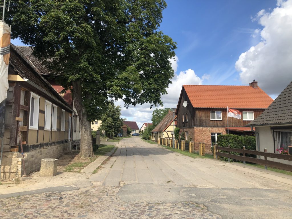
In the past I have lived in Berlin for a number of years, but, unfortunately, never ventured out of the city limits much. As I unexpectedly found myself back for an extended period of time this summer, there was finally the chance to follow Fontane’s footsteps. One thing I had never appreciated until now is that Brandenburg is huge: bigger than Norfolk, Suffolk, Essex, and Cambridgeshire combined, to put it in East Anglian proportions.

In the preface to the Wanderungen, Fontane warns that those who “always demand a glacier or the roaring see in order to be satisfied should rather stay home”. Indeed, Brandenburg is not a place of extremes: like East Anglia it is relatively flat, with the highest peak just over 200 metres, and unlike its equally flat northern neighbour Mecklenburg-Vorpommern it is landlocked. The relative lack of sights is indeed part of what motivated Fontane to write his travelogues, for he though that there are hidden gems to be found for those with open eyes and minds. Obviously this is the kind of project I can relate to.

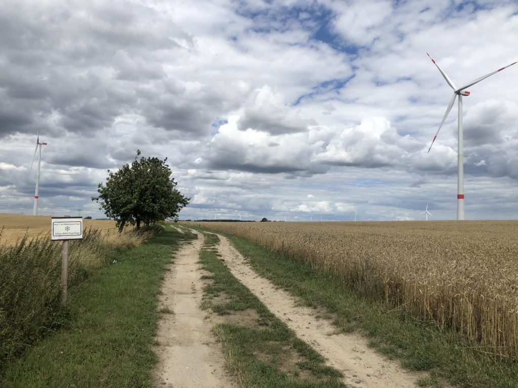
One of my favourite journeys led me to a part of the county that Fontane doesn’t actually cover, namely the so-called Uckermark. This is one of the most rural and sparsely-populated areas in the whole of Germany, and also provides the kind of landscape I enjoy most: flat with some gentle rolling hills, and not too many trees to block the view. A more modern development is an abundance of wind turbines.

I think the reason Fontane did not write about the Uckermark in any detail is that it is quite far away from the city, and it was much more convenient to visit the areas immediately surrounding Berlin. For it was not the case that Fontane roamed the countryside for weeks with just a tent and a backpack in order to gather material: he mostly went on short day trips using coaches and trains. This makes it somewhat doubtful whether Fontane would actually have enjoyed the many long-distance footpaths that have been named after him in recent decades.

My second major expedition was to Lake Stechlin, the deepest lake in Brandenburg, and also one of the clearest. This brings us back to Fontane’s literary works, for the last novel he completed is inspired by this particular lake. (Fontane describes the plot of this book as follows: Two young people get married, and an old man dies.)

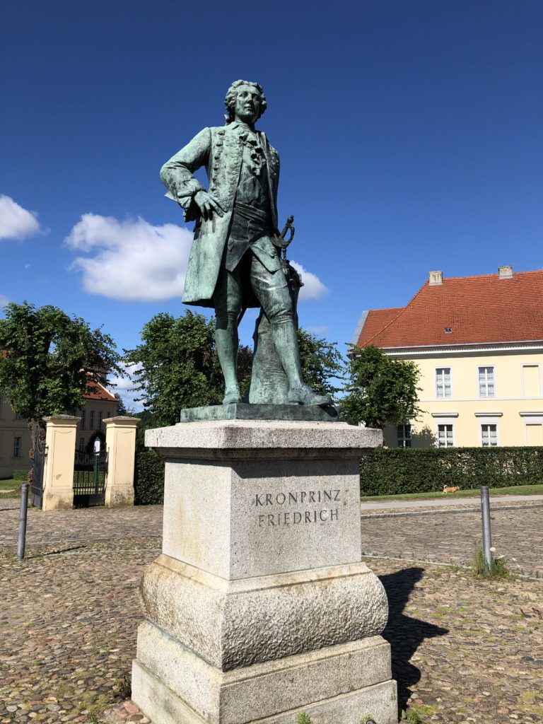
I started my walk in the small town of Rheinsberg, which is home to a castle with an interesting history. Before he became king of Prussia, Frederick the Great – famous for, among other things, popularising the potato – resided here and enjoyed the pleasures of music, theatre and literature.

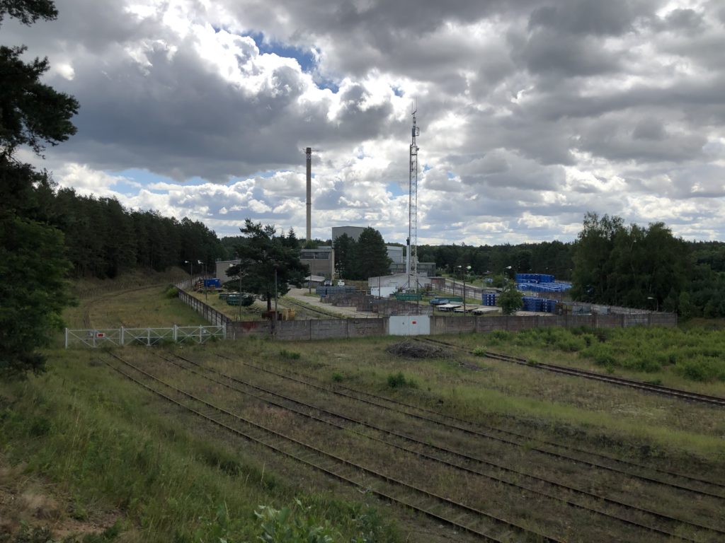
From Rheinsberg I ventured east towards the lake. This part of Brandenburg is all woodland, and so I walked between trees until I reached some deserted railway tracks that lead to a decommissioned nuclear power plant. The plant was built by the East German government in 1966, and closed nearly immediately after the end of the GDR. It will still take some years until all remains of the plant are completely gone, however. On Wednesdays in calendar weeks it is possible to visit to see how the demolition is proceeding.

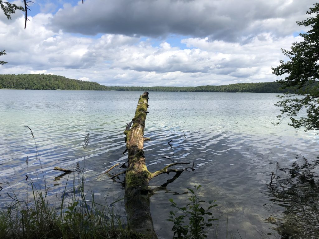
Right after the power plant I finally reached the legendary lake. In Fontane’s novel there is a mysterious connection between the lake and the wider world, so that when major historical events occur Lake Stechlin reacts by producing high waves. I also learned that there is a kind of fish that only lives in this particular lake, which is, no surprises here, named after Fontane. The fish of Lake Stechlin only have two eyes, in case you were wondering.

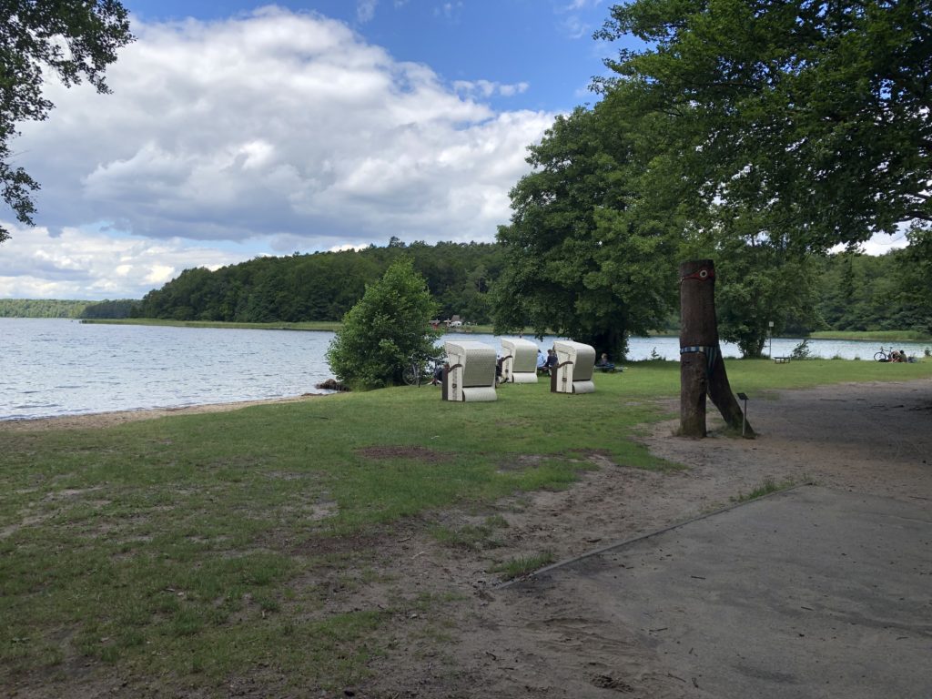
I had now arrived in the village Neuglobsow, on the southern side of the lake, which is a popular holiday destination. This being Germany there were of course Strandkörbe

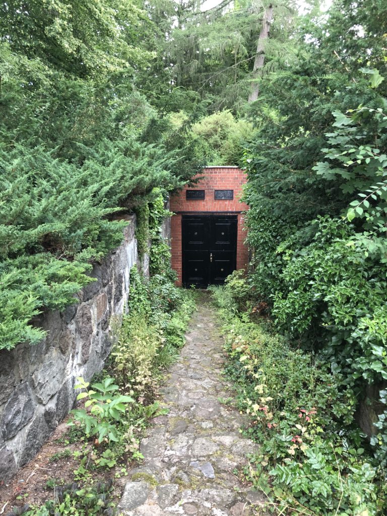
Neuglobsow is roughly halfway between the two railway stations that framed my walk – Rheinsberg and Fürstenberg – and so there was still quite a long way to go. Since it was a hot day, and I had ticked off the main attraction, I planned to proceed quite quickly. When I encountered a sign pointing to a historical graveyard and “Metas Ruh” (Meta’s Peace) I had to stop and investigate, however. Metas Ruh turned out to be a small crypt:

A sign on the wall told the following story: Anna Meta Catharina Noack, said to have “outer beauty, a sharp mind, musical talent and unusual knowledge”, was buried here by her husband Johann Heinrich August Nowak. This seems to have been a tragic affair, for she was only 25, and their 9 month old son is also buried there. Fontane actually has some more of the background story in the Wanderungen, but they are recorded in a regional dialect which is difficult to follow. Johann Heinrich August seems to have remarried, in any case, and I feel that the name Meta should make a comeback.

To the East

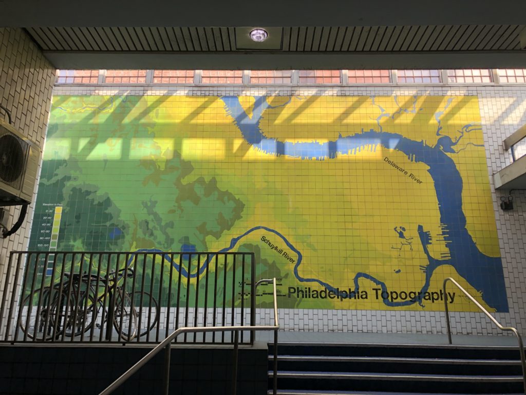
Pennsylvania is a big state, and the hilly western part which contains Pittsburgh is quite different in character from the flatter east, with Philadelphia on the southeastern edge. Comparing these two cities is a delicate matter about which I want to remain silent. Instead I will focus on how, on two separate occasions, I managed to cross the Allegheny mountains and made it to the eastern flatlands.

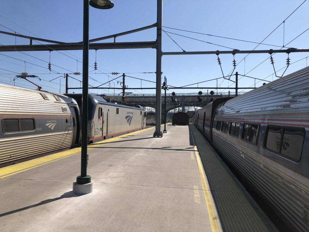
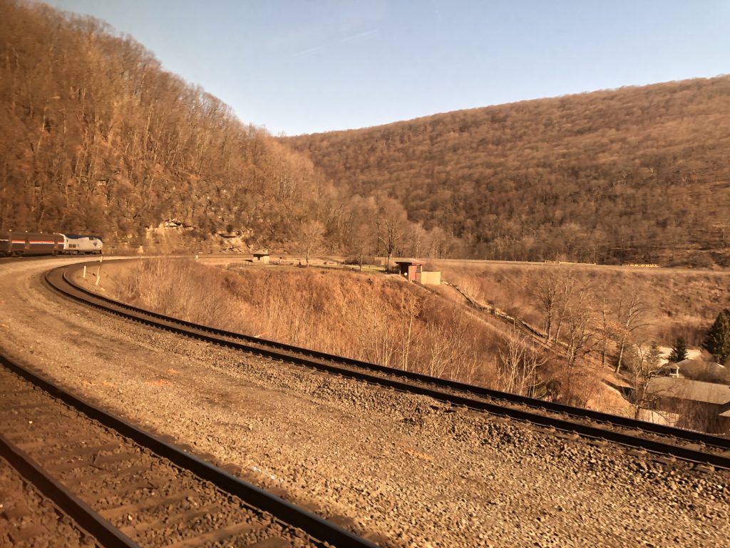
Once a day Amtrak runs a train called The Pennsylvanian all the way from Pittsburgh to New York, and of course I had to try it. On a Saturday in late February I thus left home early to catch the train at the Pittsburgh railway station, which apart from the Pennsylvanian has only two more departures each day in total (heading for Chicago and Washington D.C.). I was very lucky with the weather, since there was bright sunshine all day. Ever since watching Trading Places many years ago I have found Amtrak’s silver locomotives and carriages quite stylish, and this didn’t change after encountering them in real life.

Going up the Allegheney mountains is not a trivial matter, and in order to deal with the changes in altitude there exists the so-called Horseshore Curve: a long curve in the form of a horseshoe that makes the ascent and descent less severe.

Enthusiasts who cannot get enough of the curve are in luck, for there is a 24 hour livestream on YouTube which captures all the trains that run through here.

This is how trains manage to conquer the mountains, but what about cars? They use tunnels, as I could experience on my second journey east on a Greyhound bus. Even before coming to the US I had heard many stories about Greyhound buses, not all of them positive. I had watched this video with 10 tips for beginners though, and some more of the apparently countless videos on all things Greyhound the channel provides (“10 bad things that will happen on the Greyhound bus“, “10 trips for travelling alone on the Greyhound bus“) – so I felt prepared. One potentially relevant piece of advice only reached me after I had already bought the tickets, however, namely that many people prefer to use Megabus.

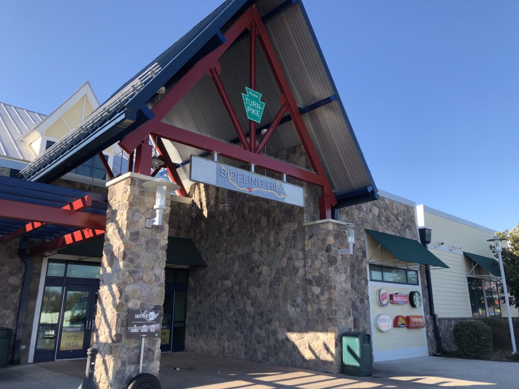
The trip got off to a rocky start, since the bus was overbooked and I had to wait at the Pittsburgh Greyhound station for 1,5 hours until a driver from Cleveland arrived, who did an additional shift in order to get us to Philadelphia. From then on everything went smoothly though, and the journey along the Pennsylvania Turnpike was pleasant, even though not quite as scenic as the train. My favourite part was when we left the Blue Mountain Tunnel, the last of the four tunnels under the Allegheny mountains. After many miles in the valley between hills the landscape here suddenly opened up, and one can finally look into the distance over a flat landscape full of fields and meadows. One can get a sense of this experience towards the end of this video, although they unfortunately stop recording a bit too early.

After the tunnels the bus stopped for a break at a rest stop. Ever since arriving in Pittsburgh I had been looking for Pennsylvania merchandise, and what I had in mind specifically was a t-shirt with only the shape of the state on it. At the rest stop shop I found some sweaters which at least approximated this ideal to some extent.

In the end I didn’t buy one, and it seems that they are not the most popular product. From the fact that I looked at the sweaters someone apparently concluded that I must be an employee of the shop, and asked me where the cigarettes are (I didn’t know).

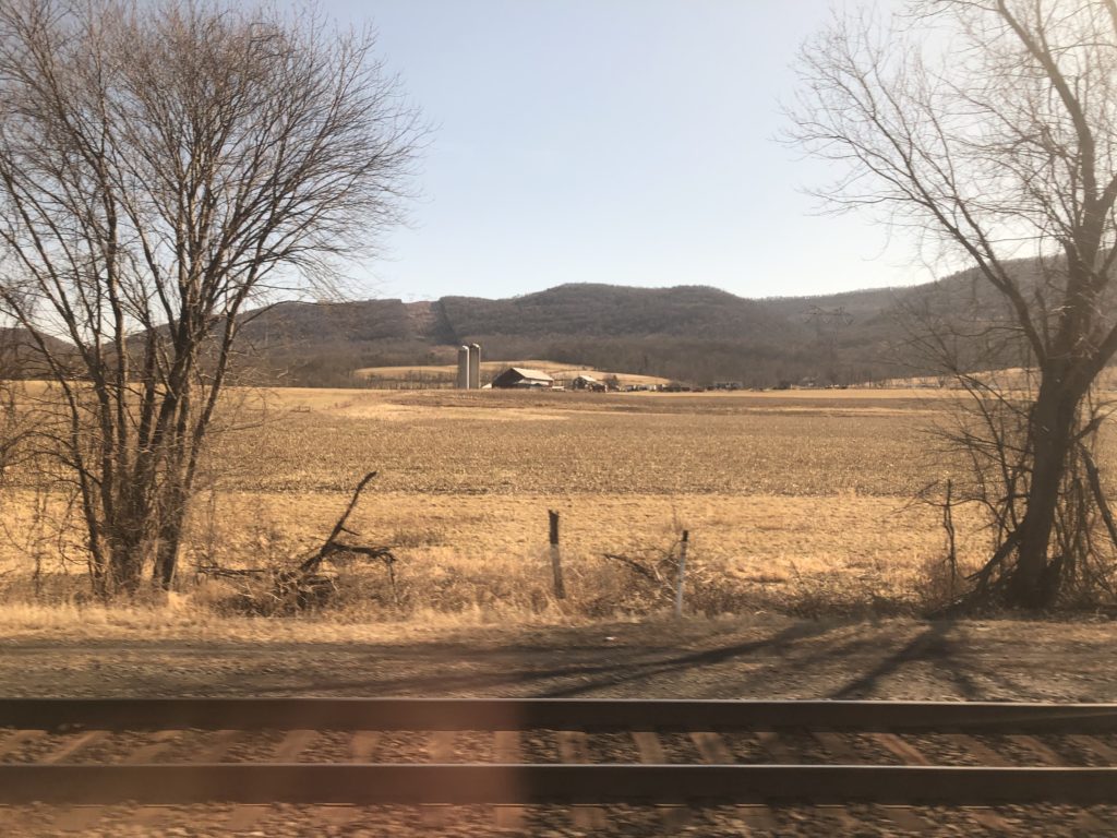
One area I was particularly interested in was Lancaster County, since I imagined it to be the East Anglia of Pennsylvania: flat, rural, and quaint. I had considered to stop in Lancaster or go on a day-trip there, but this turned out to be a hassle to organise, so instead I just stared intently out the window of the train as we passed through. I did like the landscape and even saw a plough drawn by a horse, which I don’t remember ever encountering in England. The farms looked quite different though, with the stave silos striking me as especially American.

According to Appleton’s travel guide the landscape to the west of Philadelphia is “apt to remind the tourist rather of the best Farming districts of England”, and although that seems a bit exaggerated I am sad to not have seen more of Lancaster County, whose towns also have brilliant names such as Bird-in-Hand or Intercourse (other parts of Pennsylvania are good for place names too, compare Eighty Four and the landlocked Jersey Shore). I hope to be able to return some day, and until then be content with humming this tune while walking through rural areas elsewhere.

In the end the point of all this travelling was to arrive somewhere, and once I had made it to Philadelphia I had a good time. From a plaque I learned that when William Penn designed the city, he wanted “uniform streets with houses built in a line”, and ensure that the city “will never be burnt, and always be wholesome”. Unfortunately things are not quite as rosy in all parts of Philadelphia today, but the centre and the historic district are excellent for sightseeing.

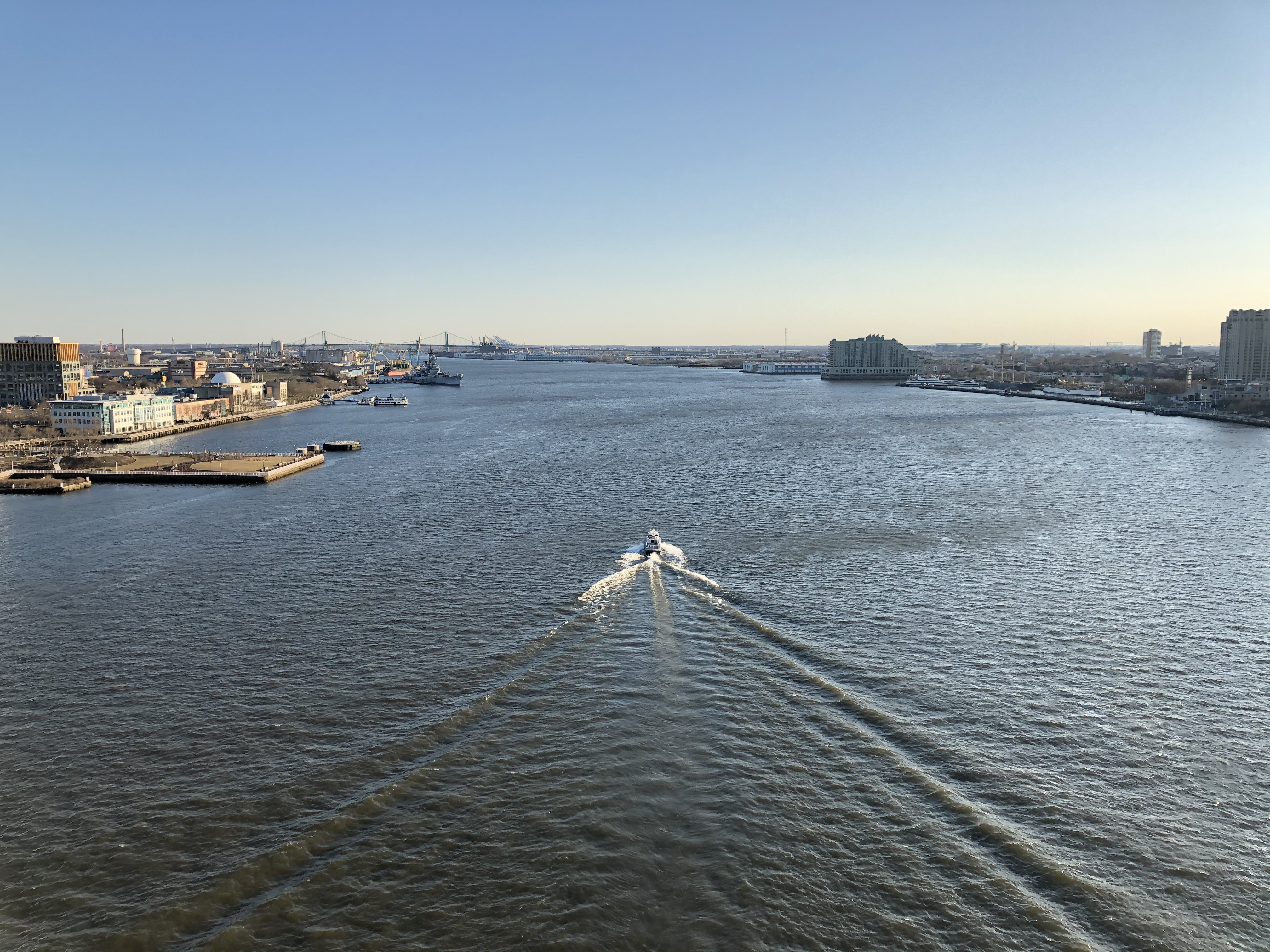
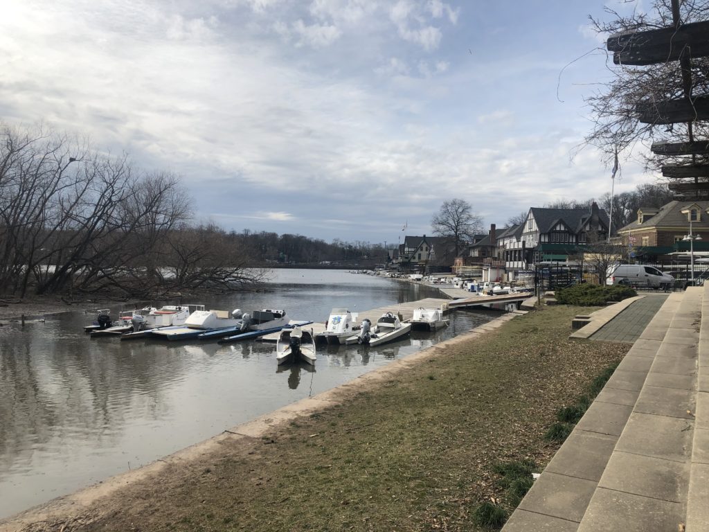
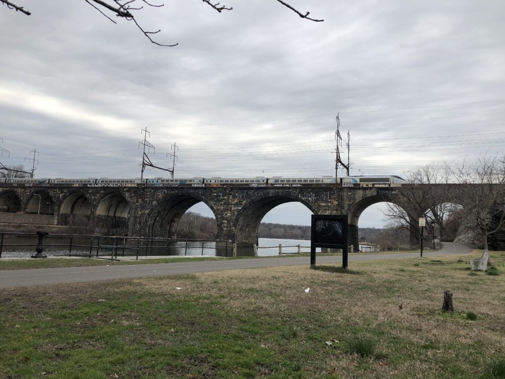
On my last day in town I went for a walk along the difficult-to-pronounce Schuylkill River. There were a surprising number of similarities to a river walk in Cambridge: boat houses, rowers, and a railway bridge.

Not everything was identical, for there were no cows, but instead an extremely busy motorway on the other side of the river. It was nice to be reminded of a familiar place this far away from Europe.

American Life

On the first day of 2020 I got up early in order to catch a flight to the US, where I had never been before. I was to live in Pittsburgh, Pennsylvania for a couple of months in order to do some research (the visit ended a bit earlier than planned though due to current events). This was an exciting way to start the new year, and I was was very curious about how living in Pittsburgh – a hilly post-industrial city – would compare to Cambridge – a flat medieval university town.

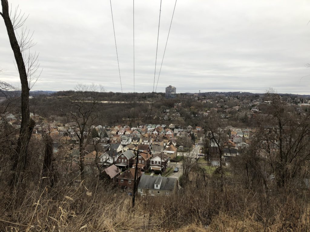
I had not lived in a city with hills since leaving my hometown in Germany, and was quite intrigued by the frequent changes in elevation. I randomly walked down a road near to where I was staying, which suddenly became quite steep and provided a nice view of the neighbourhood:

Unfortunately this very road – which also went downhill again towards the other end – also connected me to the nearest supermarket. Since I did not want to make a habit of walking up and down a hill on a regular basis I thus ended up using the second-nearest supermarket instead, which was a much flatter walk.

Of course I had read and heard many times that public transport in the US, with a few exceptions, is much less developed than in Europe. Luckily the buses in Pittsburgh were frequent and reliable, so I had no trouble getting to places within the city. Going out to the countryside was a different matter though: apart from very infrequent commuter buses there was hardly a way to leave Pittsburgh without a car, unless one wanted to go to another city rather than rural areas. I nevertheless managed to go on a number of interesting excursions, some of which I will describe here.

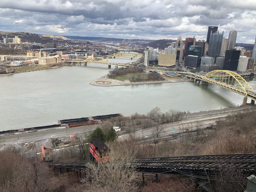
The city itself has a number of scenic spots. The standard place to go for a view of the downtown is Mount Washington. I follow a couple of Pittsburgh-based accounts on Instagram and get to see photos taken from this perspective on a very regular basis:

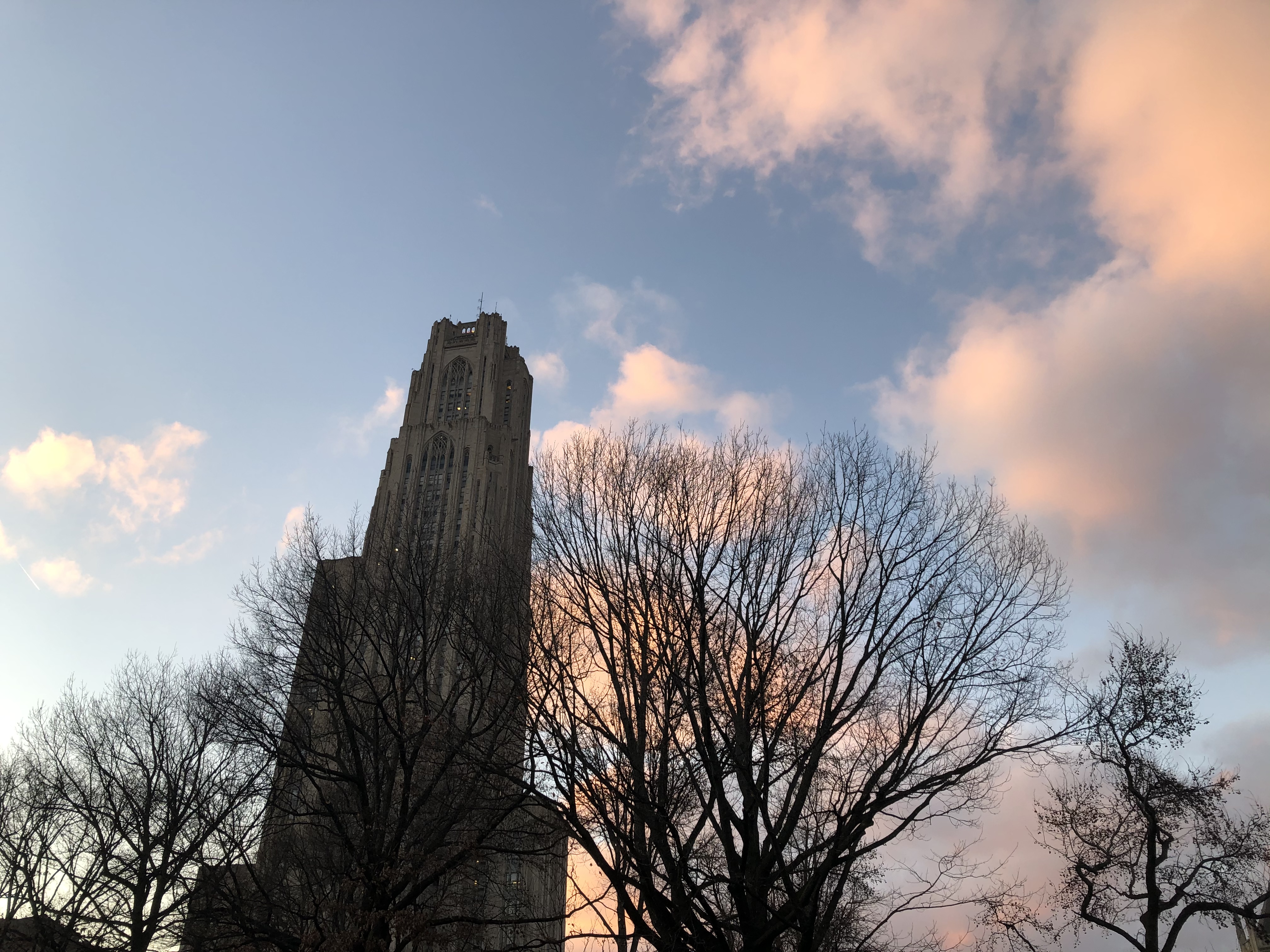
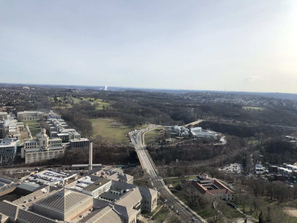
The red vehicle is one of the two inclines which run up and down Mount Washington, and they are a highlight for all fans of transportation. Furthermore there are also some large parks within the city. Here’s for instance Schenley Park as seen from the Cathedral of Learning (the building in the header):

I find it helpful to leave the place where I’m living from time to time, however, and hence started to look into the feasibility of day trips. Luckily I found two hiking and cycling trails on the outskirts of Pittsburgh, parts of which were accessible by bus: the Steel Valley Trail and the Montour Trail. I decided to try the former first, starting the walk in Homestead, a former steel town immediately south of Pittsburgh which is famous for a strike that ended brutally.

The day I had chosen was not exactly ideal, for it ended up being the coldest of my whole stay. Hat, scarf, and gloves would have been convenient but I did not own any. I struggled to eat my sandwich since my fingers got too cold while holding it, and towards the end of the walk the water in my bottles was nearly completely frozen.

Until the 1980s the Pittsburgh area was dominated by the steel industry, and the local steel mill was often the main employer of the towns among the Monongahela river,  whose route I was following. The deindustrialisation of recent decades has left many of these river towns in poor economic shape, and it seems that life there is rough. On Google Maps I read reviews of apartment complexes in the town of McKeesport, for instance, and one reviewer (who gave three out of five stars) wrote that over the years there had been 15 murders in their apartment complex.

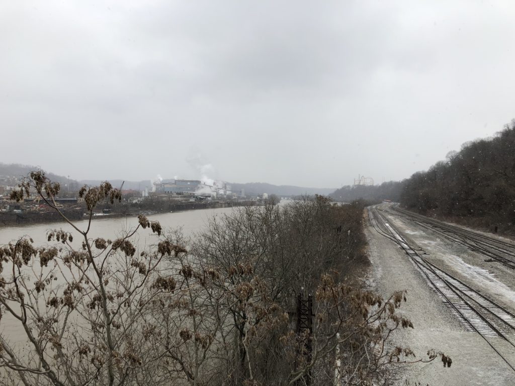
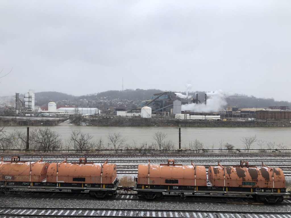
There is still one working steel mill in the vicinity, however, namely the Edgar Thomson Steel Works in Braddock. For various reasons Braddock has received a lot of attention in recent years, and I can recommend this short documentary with much better visuals than my wintry photos deliver.

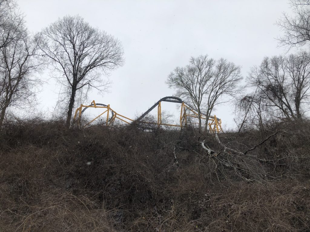
While the steel works are hard to miss, there is another Pittsburgh attraction on the opposite side of which from my position one could see very little: the Kennywood amusement park. Non-Pittsburghers might know it from the film Adventureland, which even has a scene where the protagonists look down onto the glowing steelworks at night.

Despite the freezing cold my first expedition was completed successfully, and after warming up I was ready for more. I decided to do a walk along the Montour Trail starting in Clairton, for which I had to take a bus nearly to the end of the line. This felt slightly strange since I was pretty much the only passenger going this far, and the streets outside were deserted. I was thus reminded of the scene from the Simpsons in which Lisa takes the 22A instead of the 22.

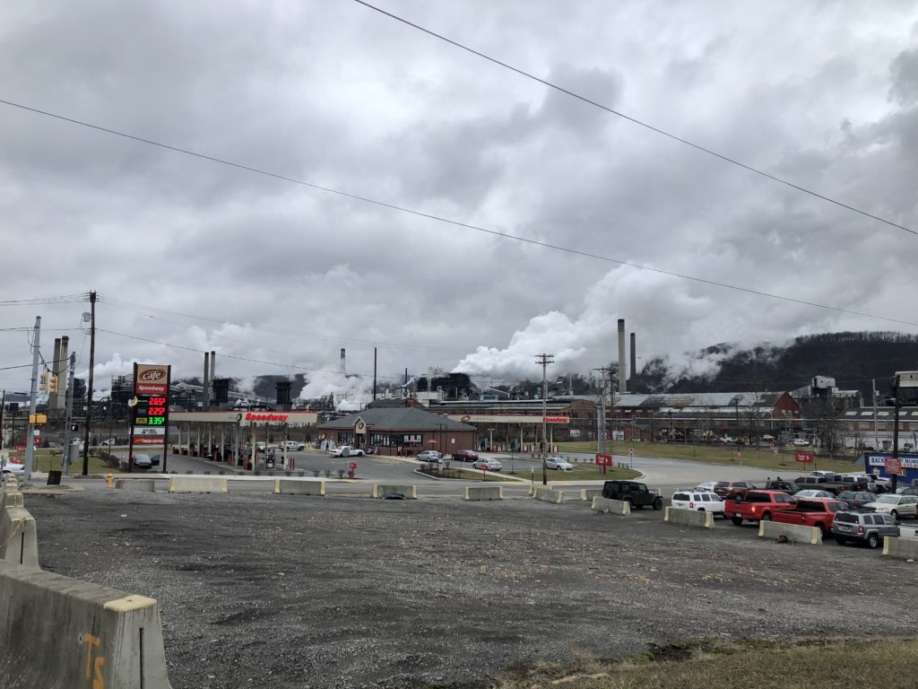
Clairton is home to a coke plant which emits a lot of steam, unfortunately I couldn’t adequately capture this since it was a grey and cloudy day.

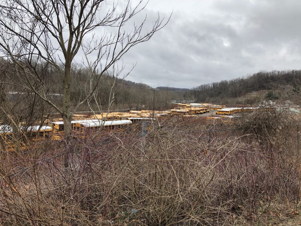
Fortunately it was not as cold as the last time. Along the way I found a place where school buses spend their weekend:

At times this walk gave me an eerie feeling, for instance when passing a remote house with a skull in the window.

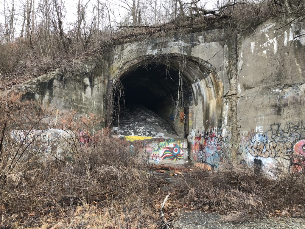
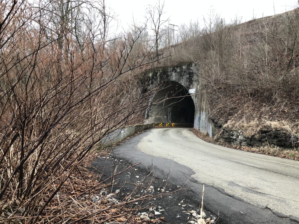
Thankfully I only later learned that according to legend one of the tunnels I encountered is the Green Man’s Tunnel, which is said to be haunted by the ghost of an electrical worker whose face was disfigured in an accident.

I was, however, intimidated by the tunnel right next to the Green Man’s Tunnel, since it was narrow and curved, and I had to walk through it. Luckily there was the convention that approaching cars honk their horn multiple times when entering, so that I could safely make it to the other side.

There was one other occasion on which I was scared to be run over by a car. I walked another section of the Montour Trail which ended at the Pittsburgh airport, and towards the end I suddenly faced a major road which had entrances and exists to the motorway. That was unwelcome enough, but moreover there were signs which said “No Pedestrian Access”.

Since there was not alternative route I had to venture on anyway. I was lucky since there was relatively little traffic at the time, and so I made it to the other side without problems. This is not an experience I would like to repeat though.

Overall these walks were very different from the ones I do in England, but interesting and enjoyable in their own way. The pictures so far suggest that the weather was always bleak, but this was not actually the case. Especially from the second half of February on there were many days with sunshine – not a surprise at all, since Punxsutawney Phil had predicated an early spring. As proof I end this relatively long report with a picture of another Pittsburgh park – Frick Park – on a beautiful spring day.


Hertfordshire Wanderings

In the autumn of 2019 I went on a number of short walks in the south of the county of Hertfordshire. I found this area appealing since even though it was still the countryside the border to Greater London was close by, and I would frequently encounter the M25 motorway. One of my rambles even followed the very first section of the M25 that opened in 1975, from Potters Bar to South Mimms. Towards the beginning of this walk I had to cross a stream using a slippery fallen tree trunk, which added to the general excitement.

Other Hertfordshire highlights were curious cows, a creepy cornfield, an air rifle shop called ‘Diversity’, and me learning that Stevenage is the UK’s space city.

The most memorable of these walks was longer and started in a more central part of Hertfordshire though. I had developed the desire to visit the city of Watford, which is not easy to explain since it is not generally considered to be a tourist attraction. Maybe the source of this fascination lay in the idiom ”north of Watford”, although it is disputed whether the Watford that gave rise to it is actually the one in Hertfordshire.

I had also never been to St Albans which, on the other hand, is generally regarded as an acceptable sightseeing destination. I thus reckoned that I could go on a walk that includes both cities. And this seemed feasible in practice as well, by starting in Hatfield and stringing together the Alban Way and the Abbey Line Trail. So off I went.

The Alban Way is a hiking and cycling trail that follows a former railway line. The walk began pleasant and uneventful until I noticed a sign indicating a ghost railway station:

Naturally I was very intrigued by this, and reality didn’t disappoint. Volunteers had rebuilt the former railway station Nast Hyde Halt in a lot of detail, with everything being in place apart from actual trains:

Signs warning about passing ghost trains were found along the way as well. This was a pleasant surprise, which made me glad I had chosen the Alban Way. (Pictures of the original railway station can be seen here.)

Eventually I arrived in St Albans, and had my lunch break next to the impressive cathedral. It turned out that St Albans had lot to offer: an ‘almost unique’ clock tower, a pub reputed to have accommodated Oliver Cromwell during the civil war, and some remains of the ancient Roman city of Verulamium. The latter brought back some childhood memories, for we used to go on family trips to former Roman towns in Germany, such as Trier or Xanten (the only German city whose name starts with an ‘X’). Not much of Verulamium has remained apart from a couple of stone walls, but walking around the grounds was enjoyable nevertheless.

Thanks to these attractions I had spent way more time in St Albans than anticipated, and so continuing all the way to Watford seemed rather ambitious now. I nevertheless started to head south, as the route was parallel to a working railway line, which would enable me to end the walk early if desired.

After leaving the suburbs of St Albans behind things got adventurous very quickly. As there had been a lot of rain in the previous days the ground was wet and muddy.  In addition there was a junction with a mind-boggling number of signs pointing in all directions, but the footpaths corresponding to these signs were less easy to make out.

I managed to find the right path, but the mud was a more severe problem, as it only got worse along the way.

Progress was slow and my feet were wet. I therefore decided to call it a day at the next railway station – Park Street – and take the train to Watford. This was not too disappointing, as Park Street is the least used station in Hertfordshire. Furthermore the last mile was mud-free and very scenic.

The Abbey Flyer between Watford and St Albans is a cute branch line with only a couple of stops and a very unusual service frequency: the train departs every 45 minutes rather than hourly or half-hourly, which I have not encountered anywhere else so far.

Eventually I thus made it to Watford by rail, where I walked around for a while before making my way home via central London. My impression was that the protagonist of Jonathan Coe’s novel has a point when he says that while Watford is alright, it is not like ”living in Watford, you wake up every morning and think to yourself, Well, life may be a bit shit, but look on the bright side, at least I’m in Watford.” I might come back for further investigations though.

The Wild Side of Norfolk

This entry concludes my three-part series on the Norfolk Coast Path, and I will describe the less popular section between Mundesley and Winterton-on-Sea. It is apt to describe this eastern route as the wild side of Norfolk for two reasons: first, the sea here is much rougher than in the quiet north of the county, and hence many coastal villages are threatened by erosion. Secondly, while in general the Norfolk coast is well served by public transport (especially compared to the Suffolk coast), there is virtually no bus running between Mundesley and Winterton-on-Sea (technically there are a few buses to Happisburgh and Sea Palling on weekdays, but not at times convenient for walkers). These 15 miles thus need to be walked in one go.

I took the train to North Walsham and made the very tight connection for the bus towards Mundesley. I had been there before in order to walk in the other direction to Cromer, which was very scenic:

Since then several instances of coastal erosion have been reported in the news, however, so I am not sure whether the route I took then is still possible. At various points the path had been quite close to the edge of the cliffs.

I also anticipated issues with the Norfolk Coast Path east of Mundesley, since I had read about a diversion due to a novel and extensive sandscaping scheme. It seemed that the work on the beach around Bacton had already been completed, however, since I did not encounter any closed sections on the way.

For the first few miles the path is on or right next to the beach, and I did not pay too much attention to the map. This proved to be a bad move, however, for I missed the spot where the coast path turns inland. Instead I continued to walk along the beach, which got narrower and narrower.

Eventually I could walk no further – the tide was also rising – and it dawned upon me that I must have made a mistake.

I checked the map carefully and indeed, I should be on top of the cliff instead of the beach. I felt unenthusiastic about walking back the last few miles, however, since walking on the sand was not that enjoyable. I thus seriously considered trying to climb the cliffs, but quickly abandoned this project on account of being dangerous and foolish.

There was thus no choice but to double back, and eventually I reached the official path at Ostend Gap.

I really enjoyed this part of the walk: there were roads leading and signs pointing nowhere due to land being lost in coastal erosion. In addition, several abandoned caravans, together with high waves hitting the cliffs down below, created a unique atmosphere.

I then arrived in Happisburgh, which has a very nice lighthouse that can be seen in the header image. The pronunciation of the name of this village is surprising: Haze-bruh. Walking on the cliffs continued to be thrilling:

At some point the coast path rejoined the beach, however, which was worrying. The tide was at its peak now, and from where I was standing I could not make out whether walking on the beach might not lead to a dead-end as before.

In light of the earlier experience I opted for the safe but slightly boring alternative inland route. In hindsight this might not have been necessary, as I saw some dog walkers who seemed to have made it on the beach route.

Eventually I re-joined the beach which had gotten much wider at that point. In the distance I could see some of the nine coastal defence reefs which were built in the 1990s to protect the village of Sea Palling.

After Sea Palling the path leaves the coast and continues behind the dunes, which made this part of the walk less exciting, apart from some oddities on the way.

I walked quite quickly and had soon reached Horsey Gap, which is famous for its seal colony. (There’s also a good windmill nearby). I had already been here on an earlier occasion to look at the seals, and this time I followed the official path instead of going back to the beach. This was because I had planned to have a coffee break at Winterton, but time was tight because of my unplanned extension of the walk earlier that day.

Once again I just about made it before the cafe closed, and sat down for the first time in a long while.

Originally I had wanted to continue from Winterton to Great Yarmouth in order to complete the Norfolk Coast Path, which is another 9 miles. But since I arrived much later than anticipated and was also more exhausted, I decided to cancel the last stretch. This is sad because I have not been able to walk this last bit – which plays a role in Robinson Crusoe – yet, and will not be able to do so in quite a while. Another trip to Winterton is thus on the todo list for 2020.

North Norfolk Double Feature

In this entry I will cover what is probably the most popular section of the Norfolk Coast Path: the route from Sheringham to Hunstanton via Wells-next-the-Sea. I walked it in two parts, the first half immediately following my walk from Ayslham to Sheringham, so let us start there.

I did not sleep particularly well in the youth hostel and my feet slightly hurt from the previous day, so overall I felt a bit groggy. Luckily there was a cooked breakfast and the day was beautiful, so I nevertheless started the walk in good spirits. I was soon richly rewarded, for west of Sheringham the coast path is on the cliffs and provides some spectacular views.

The steam train in this picture is the North Norfolk Railway heading to Holt, which I have used on a previous occasion.

After the cliffs end the paths goes along a beach, from which one can see several anti-aircraft guns up a hill. They are part of the Muckleburgh Collection, a large military museum.

Soon afterwards the terrain started to change, and a massive shingle mountain appeared on one side.

I avoided walking on the shingle as far as I could, but soon there was no alternative.

The shingle was loose, so that each step was hard work and my progress became excruciatingly slow. I assumed that this would only be temporary, but after I had walked on shingle for half an hour I began to suspect that things would continue in this manner for a couple of miles, until the next village. This turned out to be nearly correct, for I luckily managed to find an alternative and much more pleasant footpath for the last mile.

This unpleasant experience made me wonder whether I had missed the route of the official Norfolk Coast Path at some point, but it turned out that the shingle hell is indeed the intended way. Since others have also not enjoyed this part of the walk very much I later found a proposal for a shingle-free detour.

I had now made it to the village of Cley-next-the-Sea, which is pronounced “Clay” and has a nice windmill. I have been wondering about the “-next-the-Sea” suffix, which – unlike the popular “-by-the-Sea” – only seems to be found in Norfolk, but have so far been unable to find any explanation of why this is so.

From this point on the walk became much less eventful, with the landscape for the most part looking like this:

One of the villages on the way is worth mentioning: in the first half of the 20th century Stiffkey famously had a rector who, after an eventful life and career, ended up being in eaten by a lion in Skegness.

Towards the end of the walk I became quite tired, and was pleased when I saw Wells-next-the-Sea appear on the horizon. I arrived there just in time to take the Coastliner bus to King’s Lynn, although the bus driver did not seem very enthusiastic about having passengers. After stating where I wanted to go he responded by saying “You know that you’ll be on this bus for three hours?” (this was repeated to other passengers as well), and pointed out that it would have been faster to take another bus which had left a minute ago. Despite the leisurely pace I enjoyed the scenic journey.

Two weeks later I was back in Wells, in order to tackle the ~22 miles to Hunstanton. Remembering the bus driver’s advice I did not take the Coastliner to get there this time, but the slightly faster route from King’s Lynn which involves changing buses in Fakenham.

Right to the west of Wells is one of the most scenic parts of the Norfolk Coast Path: Holkham Beach, which has appeared in various films and TV shows. It is hence a popular tourist attraction, but once I had moved away from the parking lot I was pretty much on my own:

After Holkham the walk continued to be pleasant but – as the second half of the first stretch – relatively uneventful. Even though it doesn’t quite fit I will use this occasion to insert a picture of a typical Norfolk flint house:

At the village of Brancaster the official Norfolk Coast Path takes an inland diversion away from the coast, which I felt unenthusiastic about. I had done some research in advance which suggested that there is the possibility to walk along the beach instead, however it was not clear whether this route was still passable due to a very recent breach of the beach. I was tempted to just give it a try, but ultimately decided against it because any delay would have meant walking in the dark or terminating the walk early.

After passing this signpost I had nearly reached my destination, and I approached Hunstanton walking on the beach. In an earlier entry I suggested that Hunstanton is not very nice, a statement I now would like to officially retract: the cliffs alone (of which I had been unaware on the earlier occasion) make it well worth a visit.

Another excellent feature of Hunstanton is that it is one of the very few places in the east of England from where there is water to the west, which is ideal for watching the sunset.

Unfortunately I failed to properly use this opportunity since I was hungry after the walk and tried to get some food, but long queues everywhere stopped me both from eating and from seeing the sun set. I regretted this on the bus back to King’s Lynn, but otherwise the walk had been a very enjoyable experience.