A New Jersey State of Mind

I have long been interested in the state of New Jersey, which seems to be the Essex of America. Some years ago, on my first ever visit to the US, I flew into Newark Airport, and during the approach one of the flight attendants announced that people sitting on the left would now be able to see the Manhattan Skyline, whereas those sitting on the right could see the Garden State of New Jersey. I was sitting on the right, and what we saw were big roads, oil refineries, and container ports — just like in the intro to The Sopranos.

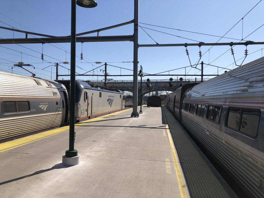
I was not putt off by this, and later even bought a book about the New Jersey Turnpike. But I only recently got the chance to actually spend some time in the state while visiting Princeton for two weeks. Princeton itself is pleasant enough but not very interesting, and so I was keen to go on some daytrips. Thankfully New Jersey has a relatively good network of commuter trains. The Princeton station is just off the main corridor that connects the big cities on the East Coast (DC-Philadelphia-NYC-Boston). A cute little shuttle service, called the Dinky, goes back and forth between the town and the main line. The ride just takes a few minutes.

On a sunny Saturday I headed towards the Dinky station in order to go to the famous Jersey Shore. While walking through the Princeton campus I encountered many students dressed up as Santa Claus. This turned out to be because of SantaCon: an annual tradition of going to New York to get drunk while looking like Santa. I was unfamiliar with this event, as I was with another tradition local to Princeton that I learned about in the novel The Rule of Four: the Nude Olympics. For several decades, on the first day of snowfall, second-year Princeton students would run around the campus naked at midnight. The university banned this rite of passage in 1999, however, because too many people got so drunk that they needed medical attention.

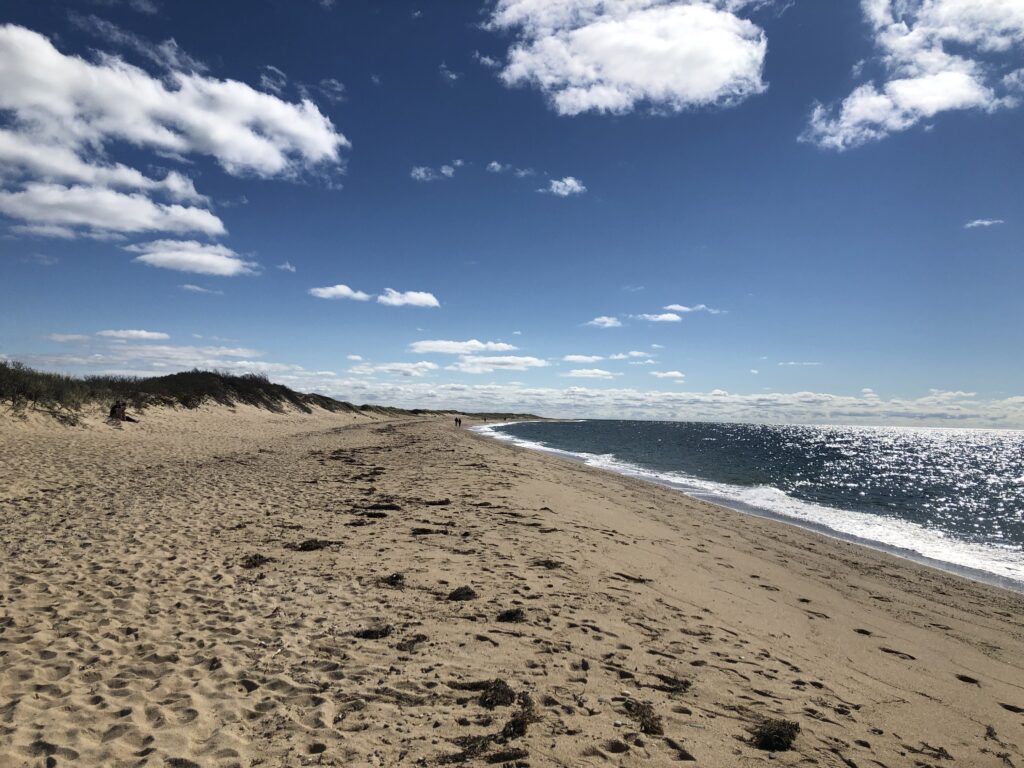
Thanks to the SantaCon crowd the train towards New York was so packed that I could barely squeeze in. But I was happy to count this as an authentic New Jersey experience — it is after all the most densely populated state in the US. I was the only passenger getting off at Rahway to change for the southbound North Jersey Coast Line service. I had decided to go to Asbury Park, since in addition to the Bruce Springsteen connection it was said to have a good boardwalk and a nice beach. I wasn’t disappointed.

After enjoying excellent coffee and a huge chocolate chip cookie on the boardwalk — which even had free wifi — I walked along the coast until the sun set. The only annoying part of of this trip was the journey back. While in general NJ Transit is quite fun to use, the train from the coast arrives at Rahway exactly 2 minutes after the southbound train on the Northeast Corridor has left, so that I needed to wait 58 minutes for my connection. I am not the only one who has spent more time in Rahway than they had hoped for though, since it is home to the East Jersey State Prison. In 1978 this prison became famous through the educational documentary Scared Straight. In it juvenile delinquents were sent to the prison so that inmates saving life sentences could shout at them (and everyone else around, such as the cameramen) about how terrible life in prison is. The documentary is narrated by Peter Falk, of Columbo-fame. Obviously the thought behind the screaming was that the juveniles would be put off by the experience and give up crime. But unfortunately subsequent studies suggest that the scare tactics actually led to an increase in crime.


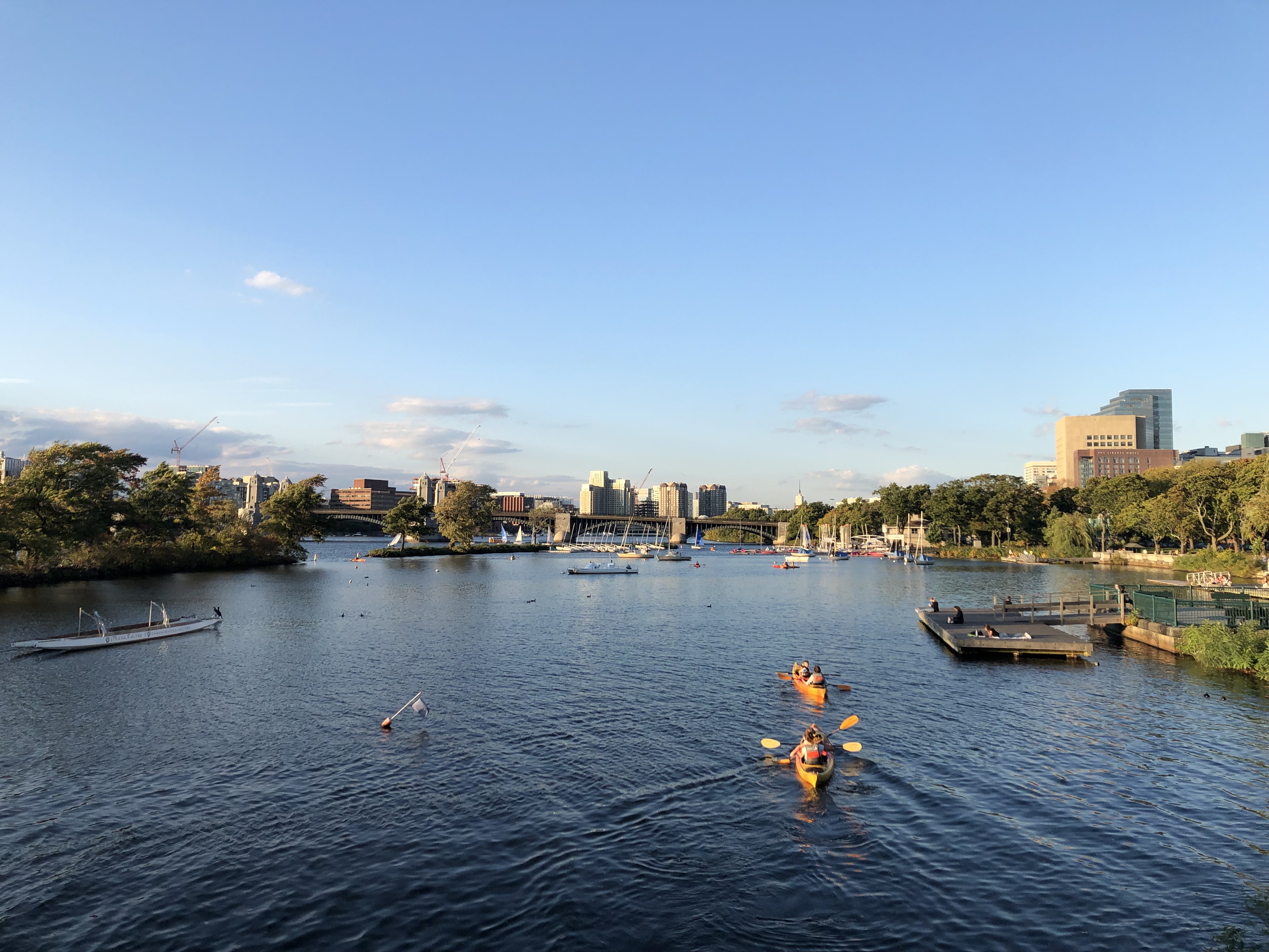
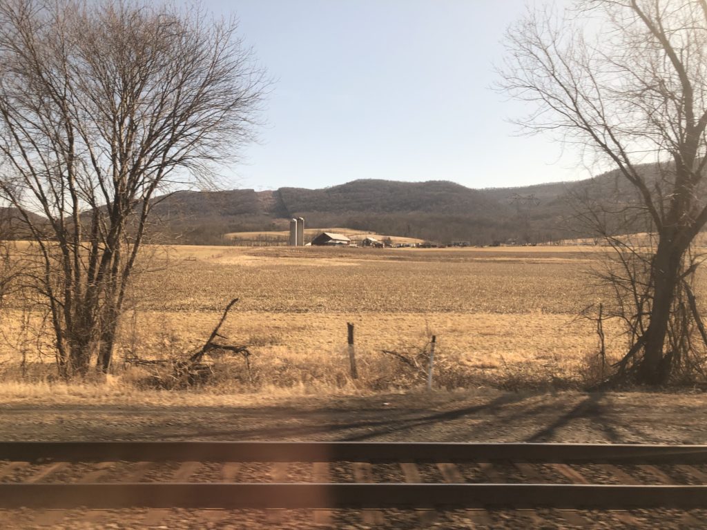
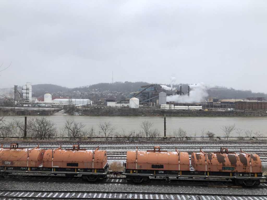
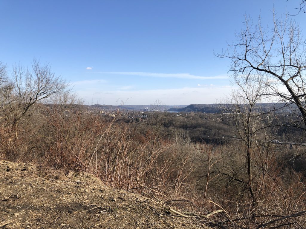
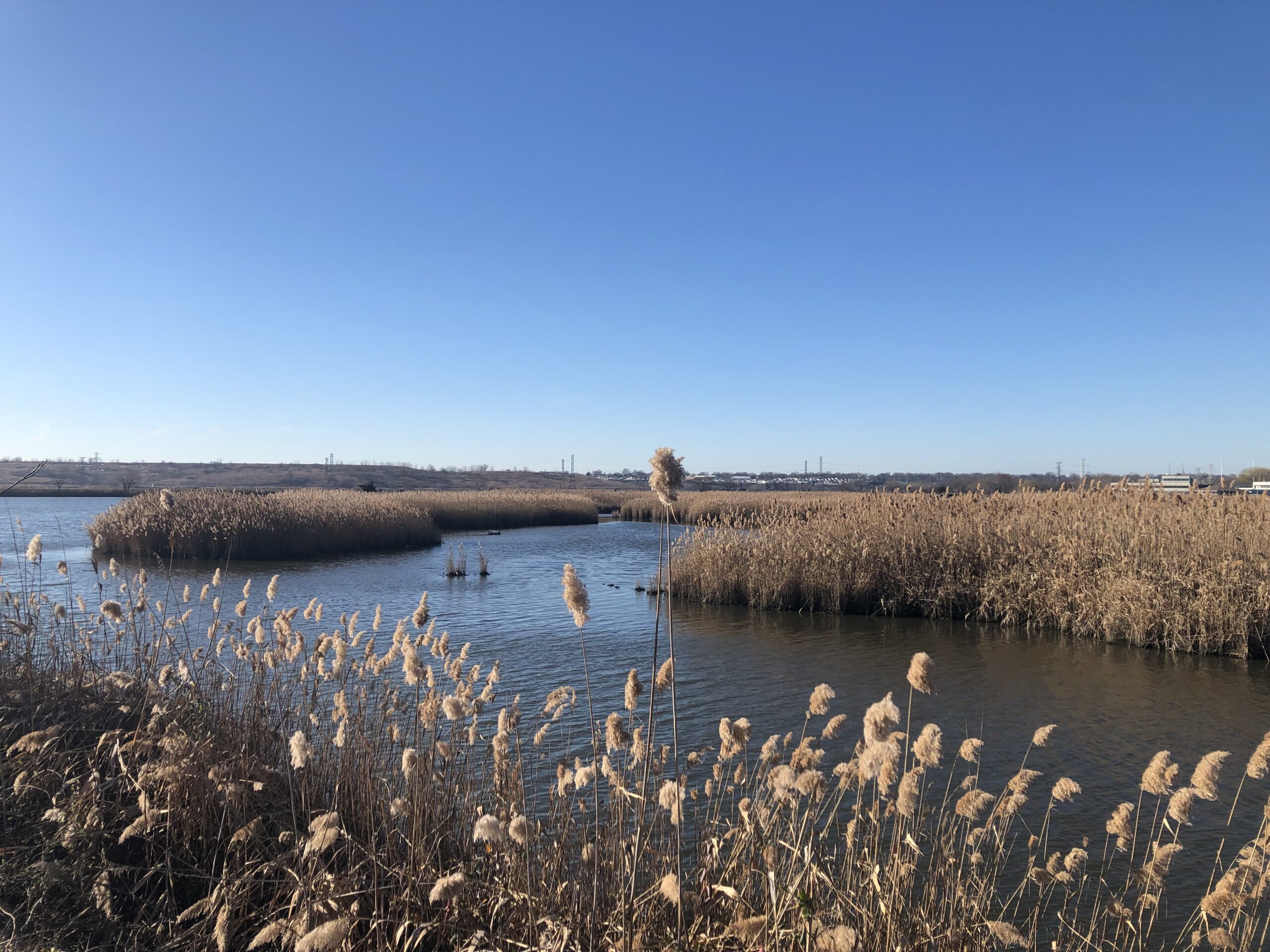
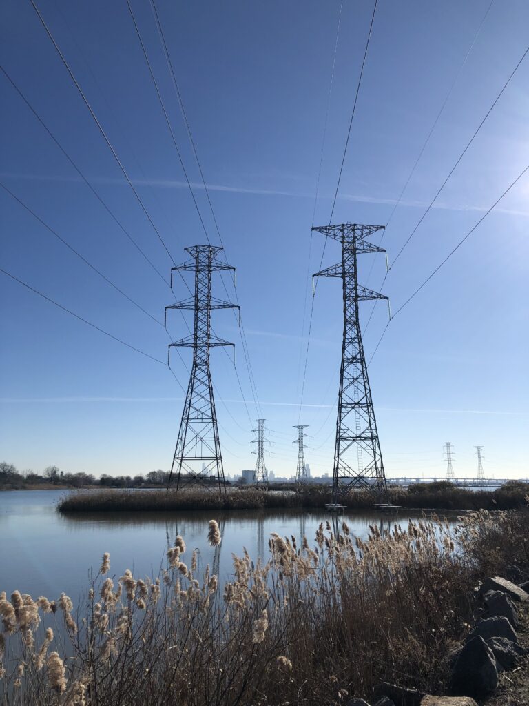
Everyone agrees that going to New York is fun. It is less widely appreciated that one of the great things about approaching the city from the south are the excellent views of the New Jersey Meadowlands, a watery area of reeds and marshes just a few miles away from Manhattan. For many decades they were primarily used as dumping grounds for various kinds of garbage, including poisonous chemicals. But in more recent years they have been discovered as an exciting place to explore.

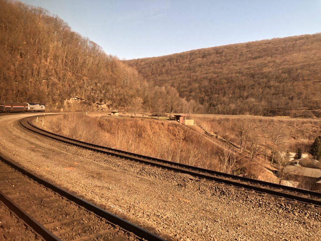
I had already noticed the Meadowlands a few years ago when taking the Amtrak from Pittsburgh to NYC. This time they made such a strong impression on me that I could think of little else after seeing them from the train again, and so I had to investigate whether it would be possible to visit them for a walk. Luckily the answer turned out to be yes, thanks to the Richard W. DeKorte Park which is accessible using trains and walking.

I thus had to go on another daytrip. On the previous day trains had been disrupted by a bull on the tracks at Newark station, but I didn’t have any problems and quickly arrived at Kingsland station in Lyndhurst.

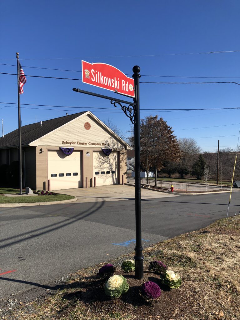
Lyndhurst was very welcoming: there were several crossing guards making sure that the (few) pedestrians crossed the road safely. I was nevertheless a bit nervous about reaching DeKorte Park because I had to walk through the ominously named Disposal Road. People have disappeared in the Meadowlands before, and this name did not bode well. As a matter of fact the road wasn’t very scary at all, however, and it even had recently been renamed to honour a long-time member of the local fire department.

Walking through the Meadowlands turned out to be just as amazing as I had imagined it to be. Admittedly the air felt extremely salty, and the history of pollution made me wonder how healthy extended stays in this environment are. I nevertheless enjoyed my lunch — a hoagie from Wawa — on one of the benches provided. Later, while walking parallel to the western spur of the NJ Turnpike and after spotting an old car tyre in the water, I even saw someone fishing. It is not clear to me whether people actually eat Meadowlands fish though.

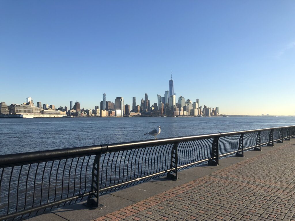
After having explored all corners of DeKorte park I headed back to the station for the train to Hoboken. I liked the grand railway terminal there and reflected on my adventure over a coffee. Then I enjoyed a more mainstream view of Manhattan. Who knows, maybe trips to the Meadowlands will become really popular among New Yorkers some day.

I needed to go to Newark to catch the train back to Princeton, and for the sake of variety I used the PATH to get there. A good choice, for as the sun was setting I got an excellent view of the Pulaski Skyway which runs parallel to the tracks. Once more New Jersey didn’t disappoint.

A Newfound Interest in Massachusetts

In the autumn of 2022 I lived in Massachusetts for two months. I stayed in the city of Somerville, the northern neighbour of (the other) Cambridge, which is in turn separated from the city of Boston by the Charles River (see header). American cities, towns, and other municipalities tend to be small, and in order to simplify matters no harm is done by saying that I lived in Boston.

When I arrived in early September the weather was splendid and it remained so until I left in early November, so there were plenty of opportunities to go on walks. Since I like combining theory and practice I had hoped to use Henry David Thoreau’s writings as a guide to exploring Massachusetts. Thoreau lived in Concord, a small town roughly 15 miles to the west of Boston, which was also home to various other writers. Nowadays Concord is part of the Boston suburbs, but it has remained relatively quaint and idyllic. Thoreau occasionally suggested that everything of interest is contained in it, commenting that “most of the phenomena noted” in an account of an expedition to the Arctic “might be observed in Concord”. He thus saw no need to travel very far or very often. Thoreau was an enthusiastic walker, however, and wrote extensively about his ramblings around Concord and other parts of Massachusetts and New England.

On paper this seemed like a perfect fit. Just as Sebald, M. R. James, and Graham Swift provided inspiration to explore various parts of East Anglia, Thorau could lead me to interesting areas in Massachusetts. Or so I imagined. For when it came to actually reading Thoreau, I found the experience unenjoyable. I strategically avoided Walden because I was worried that its use in inspirational quotes would put me off, and instead started with the promising-sounding essay “Walking” from The Atlantic. But the writing style struck me as so annoying and pretentious that I didn’t manage to finish it. I tried Thorau’s Concord-neighbour Ralph Waldo Emerson’s “Country Life” as well, with similar results.

These disappointing encounters led me to set the theory of walking aside in favour of the actual activity. On an especially warm Sunday I thus took the train to Concord to explore the famous Walden Pond, home to Thoreau’s attempt to live in the woods. The site of this cabin is located conveniently close to the town centre, and it was pleasant to swim in the pond.

In “Walking” Thoreau makes the following observation about access to land:

At present, in this vicinity, the best part of the land is not private property; the landscape is not owned, and the walker enjoys comparative freedom. But possibly the day will come when it will be partitioned off into so-called pleasure-grounds, in which a few will take a narrow and exclusive pleasure only, — when fences shall be multiplied, and man-traps and other engines invented to confine men to the public road, and walking over the surface of God’s earth shall be construed to mean trespassing on some gentleman’s grounds.

This prediction has, sadly, become reality. Nowadays Eastern Massachusetts is very densely populated, and land to roam around in is sparse. Being the Bay State, I had for instance assumed that there would be plenty of coastal walks, but this turned out to be incorrect. For while there is not shortage of coast, there are no public rights of way as they exist in Britain, and so it is largely inaccessible for everyone apart from the owners of the relevant properties.

Finding good places to walk was thus a bigger challenge for me than for Thoreau, especially since they had to be reachable by public transport. One good option was the Skyline Trail in the Blue Hills to the south of Boston, since both its start and end point are reachable by bus. Sort of, at least. First I had to take the cute Mattapan Trolley which relies on streetcars that were originally built in the 1940s. When I wanted to tap my card to pay the fare after boarding, the driver kindly told me that this is unnecessary, since no one else ever pays either.

At Mattapan I then waited for the somewhat mysterious bus 716 that was supposed to bring me to the trailhead. This is the bus with the highest number in the whole system, and it is operated by an external contractor, not the MBTA (which runs most of the public transport in the Boston area). At the station there was a timetable, but no indication of where exactly the bus would depart. Close to the scheduled time a vehicle appeared that did not look much like a regular bus, but had a paper sign saying “716” on it. I was the only passenger. The fare was collected by putting cash into a box, and it was not necessary to have enough for the full fare. The in every way excellent Miles in Transit blog contains a more detailed review of this unusual route, though unlike the one described there my driver was very pleasant, and so I could soon start exploring the Blue Hills.

The Skyline Trail was scenic and interesting, with many rocky ascents and descents. My only complaint is that the official routing leads one to a point where Massachusetts Route 28 needs to be crossed without a traffic light or zebra crossing. When I arrived at this point the road was incredibly busy, with no gaps in the traffic in either direction. I did not feel like trying to get the cars to stop by boldly venturing ahead, and luckily managed to find a nearby crossing with traffic lights. There is an initiative to improve the routing of the trail already.

Eventually I decided that I should give Thoreau another chance. This time I approached his work in a more indirect way by buying Ben Shattuck’s recent book Six Walks. It starts with the author experiencing an existential crisis. In order to overcome it, he decides to retrace a walk by Thoreau along the eastern beaches of Cape Cod. This outing is a success, and he proceeds to go on a number of other Thoreau-inspired walks. By the end of the book the existential crisis is overcome, and one will be pleased to find that the Shattuck’s life is now going extraordinarily well.

Six Walks made me curious enough to pick up Thoreau’s Cape Cod, and I also booked the ferry from Boston to Provincetown for the last weekend before the season ended. Thoreau describes taking the ferry during his own time as follows:

Mild as it was on shore this morning, the wind was cold and piercing on the water. Though it be the hottest day in July on land, and the voyage is to last but four hours, take your thickest clothes with you, for you are about to float over melted icebergs. When I left Boston in the steamboat on the 25th of June the next year, it was a quite warm day on shore. The passengers were dressed in their thinnest clothes, and at first sat under their umbrellas, but when we were fairly out on the Bay, such as had only their coats were suffering with the cold, and sought the shelter of the pilot’s house and the warmth of the chimney.

I can confirm that this is still accurate. I had planned to stay on deck during the whole journey, which nowadays only takes 90 minutes, but it quickly became very cold, and contrary to Thoreau’s recommendations I had not brought warm clothes. I hoped that I could at least be resilient enough to be the last person to retreat to the cabin, but unfortunately did not manage that either.

Cape Cod was beautiful and reminded me of Denmark, which is a good thing. A connection to East Anglia is established by the following anecdote about beach peas Thoreau found in a scientific article about the plants on the Cape:

We read, under the head of Chatham, that “in 1555, during a time of great scarcity, the people about Orford, in Sussex (England) were preserved from perishing by eating the seeds of this plant, which grew there in great abundance on the sea-coast. Cows, horses, sheep, and goats eat it.” But the writer who quoted this could not learn that they had ever been used in Barnstable County.

This story is taken from John Stowe’s The Chronicles of England, in which we find that the Orford in question is actually the one in Suffolk, south of Aldburgh. According to Stowe the beach peas in question miraculously appeared when food in the region was scarce. Word about this apparent miracle reached the Bishop of Norwich, who came to investigate but only found rock. And this is not even the most unusual thing said to have happened in Orford. Stowe’s chronicle also contains the tale of a wild man that came from the sea, originally noted by Ralph of Coggeshall:

Near unto Orford in Suffolk, certain Fishers of the Sea took in their nets a Fish having the shape of a man in all points, which Fish was kept by Bartholomew de Glanville, Custos of the Castle of Orford, in the same Castle, by the space of six months and more for a wonder: he spoke not a word. All manner of meats he gladly did eat, but most greedily raw fish, after he had crushed out all the moisture. Oftentimes he was brought to the Church, where he shewed no tokens of adoration. At length when he was not well looked to, he stale away to the Sea, and never after appeared.

Orford and environs continued to attract excitement well into the 20th century. The Orford Ness peninsula was used for various military experiments and as a base for radar transmitting stations. Until 2020, when it had to be demolished due to erosion, there was also a lighthouse. While not unusual for coastal places, this particular lighthouse arguably played a role in what is known as the Rendlesham Forest Incident. In 1980 personnel of the US Air Force were stationed at the RAF base in Woodbridge, at the edge of Rendlesham Forest. One evening in December one of the Americans, a Colonel Halt, observed unusual lights which he took to be UFOs. The story took off and received plenty of coverage, with some going as far as calling it “Britain’s Roswell”. Supposing that there were no actual aliens involved, the Orfordness lighthouse is a likely candidate for being the source of the unusual lights of that December night.

This brings us back to Massachusetts. The western part of the state is more hilly and less densely populated than the east, and the Berkshires in the far west are a popular holiday destination both for New Englander and New Yorkers. It is there where, on September 1st 1969, a UFO incident took place which is famous enough to have made it into a Netflix mystery documentary. Supposedly over 250 people saw mysterious lights in the form of white orbs, and some even reported being abducted. The documentary remains neutral and does not aim to debunk the story, but it nevertheless left me unconvinced. 250 witnesses are a high number, but most of the coverage relies on a small number of especially vocal people. It is claimed that the local radio station received dozens of calls on the night of the indecent, but since there are no recordings this is impossible to verify. Newspapers from the following days and weeks, on the other hand, are still around, but no mention of the incident could be found in any of them. One explanation for this is a conspiracy to hide the true facts about UFOs, but is it the best one?

In late October headed to the Berkshires myself by taking the Amtrak from Boston to Pittsfield. Not to find aliens but rather to hike up Mount Greylock, which at 1,063m is the highest point in Massachusetts. Once again detailed stories about buses could be told, but I will spare readers and just note that I successfully made it to the top, enjoyed the view, and equally successfully descended back down into the valley.

Thoreau visited Mount Greylock as well, as did Shattuck, as did Bill Bryson. The most memorable literary representation of the Berkshires I have come across, however, is Edith Wharton’s short, bleak, and beautiful Ethan Frome. Its readers will likely avoid sleds for the rest of their lives. In sum, Massachusetts thus did not disappoint: It had plenty to offer for walkers both of the theoretical and the practical kind.

To the East

Pennsylvania is a big state, and the hilly western part which contains Pittsburgh is quite different in character from the flatter east, with Philadelphia on the southeastern edge. Comparing these two cities is a delicate matter about which I want to remain silent. Instead I will focus on how, on two separate occasions, I managed to cross the Allegheny mountains and made it to the eastern flatlands.

Once a day Amtrak runs a train called The Pennsylvanian all the way from Pittsburgh to New York, and of course I had to try it. On a Saturday in late February I thus left home early to catch the train at the Pittsburgh railway station, which apart from the Pennsylvanian has only two more departures each day in total (heading for Chicago and Washington D.C.). I was very lucky with the weather, since there was bright sunshine all day. Ever since watching Trading Places many years ago I have found Amtrak’s silver locomotives and carriages quite stylish, and this didn’t change after encountering them in real life.

Going up the Allegheney mountains is not a trivial matter, and in order to deal with the changes in altitude there exists the so-called Horseshore Curve: a long curve in the form of a horseshoe that makes the ascent and descent less severe.

Enthusiasts who cannot get enough of the curve are in luck, for there is a 24 hour livestream on YouTube which captures all the trains that run through here.

This is how trains manage to conquer the mountains, but what about cars? They use tunnels, as I could experience on my second journey east on a Greyhound bus. Even before coming to the US I had heard many stories about Greyhound buses, not all of them positive. I had watched this video with 10 tips for beginners though, and some more of the apparently countless videos on all things Greyhound the channel provides (“10 bad things that will happen on the Greyhound bus“, “10 trips for travelling alone on the Greyhound bus“) – so I felt prepared. One potentially relevant piece of advice only reached me after I had already bought the tickets, however, namely that many people prefer to use Megabus.

The trip got off to a rocky start, since the bus was overbooked and I had to wait at the Pittsburgh Greyhound station for 1,5 hours until a driver from Cleveland arrived, who did an additional shift in order to get us to Philadelphia. From then on everything went smoothly though, and the journey along the Pennsylvania Turnpike was pleasant, even though not quite as scenic as the train. My favourite part was when we left the Blue Mountain Tunnel, the last of the four tunnels under the Allegheny mountains. After many miles in the valley between hills the landscape here suddenly opened up, and one can finally look into the distance over a flat landscape full of fields and meadows. One can get a sense of this experience towards the end of this video, although they unfortunately stop recording a bit too early.

After the tunnels the bus stopped for a break at a rest stop. Ever since arriving in Pittsburgh I had been looking for Pennsylvania merchandise, and what I had in mind specifically was a t-shirt with only the shape of the state on it. At the rest stop shop I found some sweaters which at least approximated this ideal to some extent.

In the end I didn’t buy one, and it seems that they are not the most popular product. From the fact that I looked at the sweaters someone apparently concluded that I must be an employee of the shop, and asked me where the cigarettes are (I didn’t know).

One area I was particularly interested in was Lancaster County, since I imagined it to be the East Anglia of Pennsylvania: flat, rural, and quaint. I had considered to stop in Lancaster or go on a day-trip there, but this turned out to be a hassle to organise, so instead I just stared intently out the window of the train as we passed through. I did like the landscape and even saw a plough drawn by a horse, which I don’t remember ever encountering in England. The farms looked quite different though, with the stave silos striking me as especially American.

According to Appleton’s travel guide the landscape to the west of Philadelphia is “apt to remind the tourist rather of the best Farming districts of England”, and although that seems a bit exaggerated I am sad to not have seen more of Lancaster County, whose towns also have brilliant names such as Bird-in-Hand or Intercourse (other parts of Pennsylvania are good for place names too, compare Eighty Four and the landlocked Jersey Shore). I hope to be able to return some day, and until then be content with humming this tune while walking through rural areas elsewhere.

In the end the point of all this travelling was to arrive somewhere, and once I had made it to Philadelphia I had a good time. From a plaque I learned that when William Penn designed the city, he wanted “uniform streets with houses built in a line”, and ensure that the city “will never be burnt, and always be wholesome”. Unfortunately things are not quite as rosy in all parts of Philadelphia today, but the centre and the historic district are excellent for sightseeing.

On my last day in town I went for a walk along the difficult-to-pronounce Schuylkill River. There were a surprising number of similarities to a river walk in Cambridge: boat houses, rowers, and a railway bridge.

Not everything was identical, for there were no cows, but instead an extremely busy motorway on the other side of the river. It was nice to be reminded of a familiar place this far away from Europe.

American Life

On the first day of 2020 I got up early in order to catch a flight to the US, where I had never been before. I was to live in Pittsburgh, Pennsylvania for a couple of months in order to do some research (the visit ended a bit earlier than planned though due to current events). This was an exciting way to start the new year, and I was was very curious about how living in Pittsburgh – a hilly post-industrial city – would compare to Cambridge – a flat medieval university town.

I had not lived in a city with hills since leaving my hometown in Germany, and was quite intrigued by the frequent changes in elevation. I randomly walked down a road near to where I was staying, which suddenly became quite steep and provided a nice view of the neighbourhood:

Unfortunately this very road – which also went downhill again towards the other end – also connected me to the nearest supermarket. Since I did not want to make a habit of walking up and down a hill on a regular basis I thus ended up using the second-nearest supermarket instead, which was a much flatter walk.

Of course I had read and heard many times that public transport in the US, with a few exceptions, is much less developed than in Europe. Luckily the buses in Pittsburgh were frequent and reliable, so I had no trouble getting to places within the city. Going out to the countryside was a different matter though: apart from very infrequent commuter buses there was hardly a way to leave Pittsburgh without a car, unless one wanted to go to another city rather than rural areas. I nevertheless managed to go on a number of interesting excursions, some of which I will describe here.

The city itself has a number of scenic spots. The standard place to go for a view of the downtown is Mount Washington. I follow a couple of Pittsburgh-based accounts on Instagram and get to see photos taken from this perspective on a very regular basis:

The red vehicle is one of the two inclines which run up and down Mount Washington, and they are a highlight for all fans of transportation. Furthermore there are also some large parks within the city. Here’s for instance Schenley Park as seen from the Cathedral of Learning (the building in the header):

I find it helpful to leave the place where I’m living from time to time, however, and hence started to look into the feasibility of day trips. Luckily I found two hiking and cycling trails on the outskirts of Pittsburgh, parts of which were accessible by bus: the Steel Valley Trail and the Montour Trail. I decided to try the former first, starting the walk in Homestead, a former steel town immediately south of Pittsburgh which is famous for a strike that ended brutally.

The day I had chosen was not exactly ideal, for it ended up being the coldest of my whole stay. Hat, scarf, and gloves would have been convenient but I did not own any. I struggled to eat my sandwich since my fingers got too cold while holding it, and towards the end of the walk the water in my bottles was nearly completely frozen.

Until the 1980s the Pittsburgh area was dominated by the steel industry, and the local steel mill was often the main employer of the towns among the Monongahela river,  whose route I was following. The deindustrialisation of recent decades has left many of these river towns in poor economic shape, and it seems that life there is rough. On Google Maps I read reviews of apartment complexes in the town of McKeesport, for instance, and one reviewer (who gave three out of five stars) wrote that over the years there had been 15 murders in their apartment complex.

There is still one working steel mill in the vicinity, however, namely the Edgar Thomson Steel Works in Braddock. For various reasons Braddock has received a lot of attention in recent years, and I can recommend this short documentary with much better visuals than my wintry photos deliver.

While the steel works are hard to miss, there is another Pittsburgh attraction on the opposite side of which from my position one could see very little: the Kennywood amusement park. Non-Pittsburghers might know it from the film Adventureland, which even has a scene where the protagonists look down onto the glowing steelworks at night.

Despite the freezing cold my first expedition was completed successfully, and after warming up I was ready for more. I decided to do a walk along the Montour Trail starting in Clairton, for which I had to take a bus nearly to the end of the line. This felt slightly strange since I was pretty much the only passenger going this far, and the streets outside were deserted. I was thus reminded of the scene from the Simpsons in which Lisa takes the 22A instead of the 22.

Clairton is home to a coke plant which emits a lot of steam, unfortunately I couldn’t adequately capture this since it was a grey and cloudy day.

Fortunately it was not as cold as the last time. Along the way I found a place where school buses spend their weekend:

At times this walk gave me an eerie feeling, for instance when passing a remote house with a skull in the window.

Thankfully I only later learned that according to legend one of the tunnels I encountered is the Green Man’s Tunnel, which is said to be haunted by the ghost of an electrical worker whose face was disfigured in an accident.

I was, however, intimidated by the tunnel right next to the Green Man’s Tunnel, since it was narrow and curved, and I had to walk through it. Luckily there was the convention that approaching cars honk their horn multiple times when entering, so that I could safely make it to the other side.

There was one other occasion on which I was scared to be run over by a car. I walked another section of the Montour Trail which ended at the Pittsburgh airport, and towards the end I suddenly faced a major road which had entrances and exists to the motorway. That was unwelcome enough, but moreover there were signs which said “No Pedestrian Access”.

Since there was not alternative route I had to venture on anyway. I was lucky since there was relatively little traffic at the time, and so I made it to the other side without problems. This is not an experience I would like to repeat though.

Overall these walks were very different from the ones I do in England, but interesting and enjoyable in their own way. The pictures so far suggest that the weather was always bleak, but this was not actually the case. Especially from the second half of February on there were many days with sunshine – not a surprise at all, since Punxsutawney Phil had predicated an early spring. As proof I end this relatively long report with a picture of another Pittsburgh park – Frick Park – on a beautiful spring day.