Mysterious Fenland

I recently read Graham Swift’s Waterlandsaid to be the Great Fenland Novel. It is an interesting book, but the story is rather bleak: On just over 300 pages the reader encounters murder, incest, child abduction, an unwanted pregnancy which results in a failed abortion attempt, and several unhappy marriages. After finishing the book I was certainly in the mood for some more lighthearted fiction, but nevertheless I also wanted to go on a walk in the Fens.

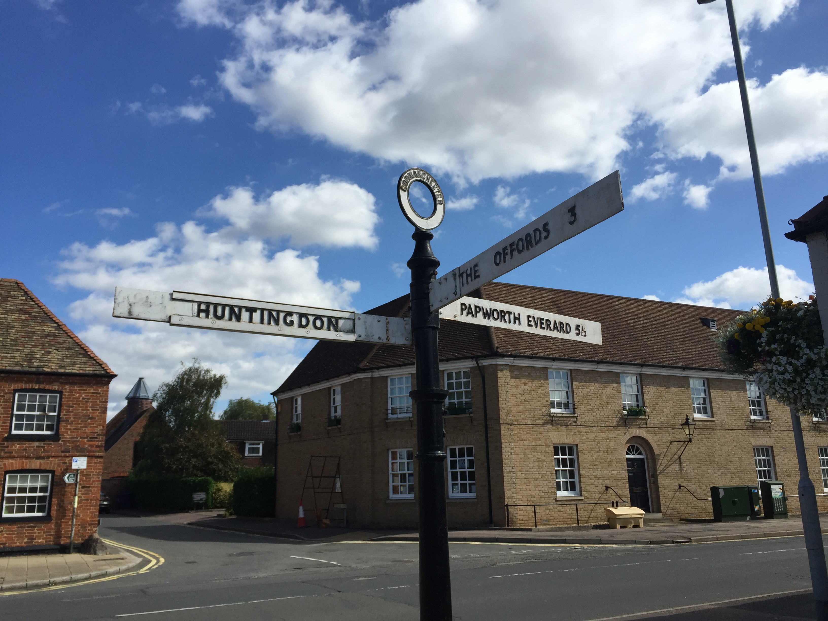
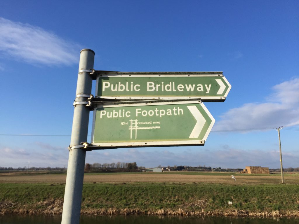
I had been on a Fenland walk before: The March March march from March to Cambridge, which was a unique experience but mostly involved road-walking; and that I wanted to avoid this time. I therefore decided to walk from Whittlesea to March on the Hereward Way, which is named after an Ely-based 11th century nobleman who led a rebellion against William the Conqueror.

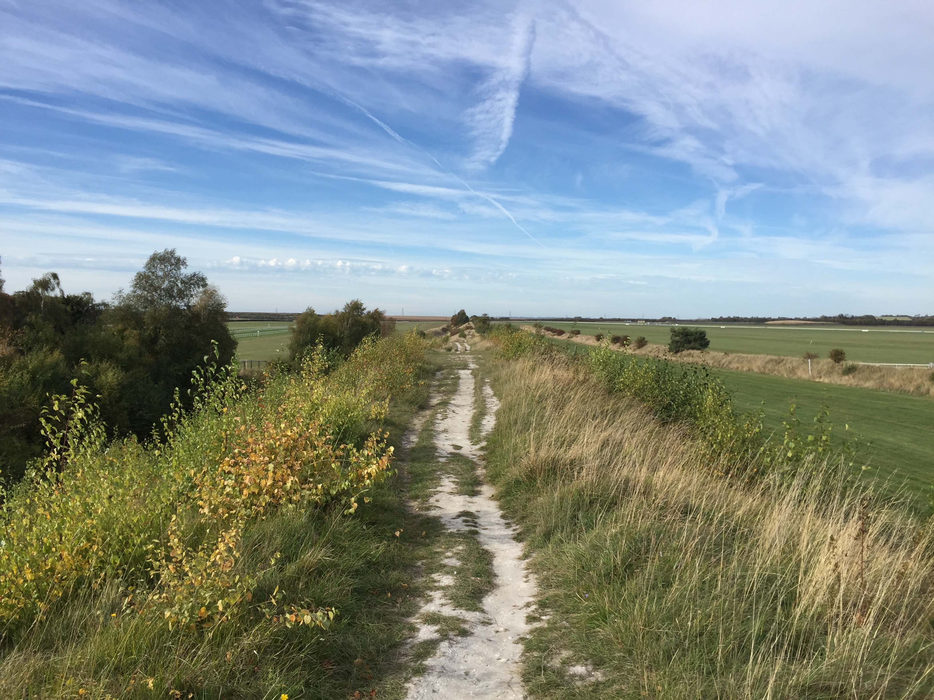
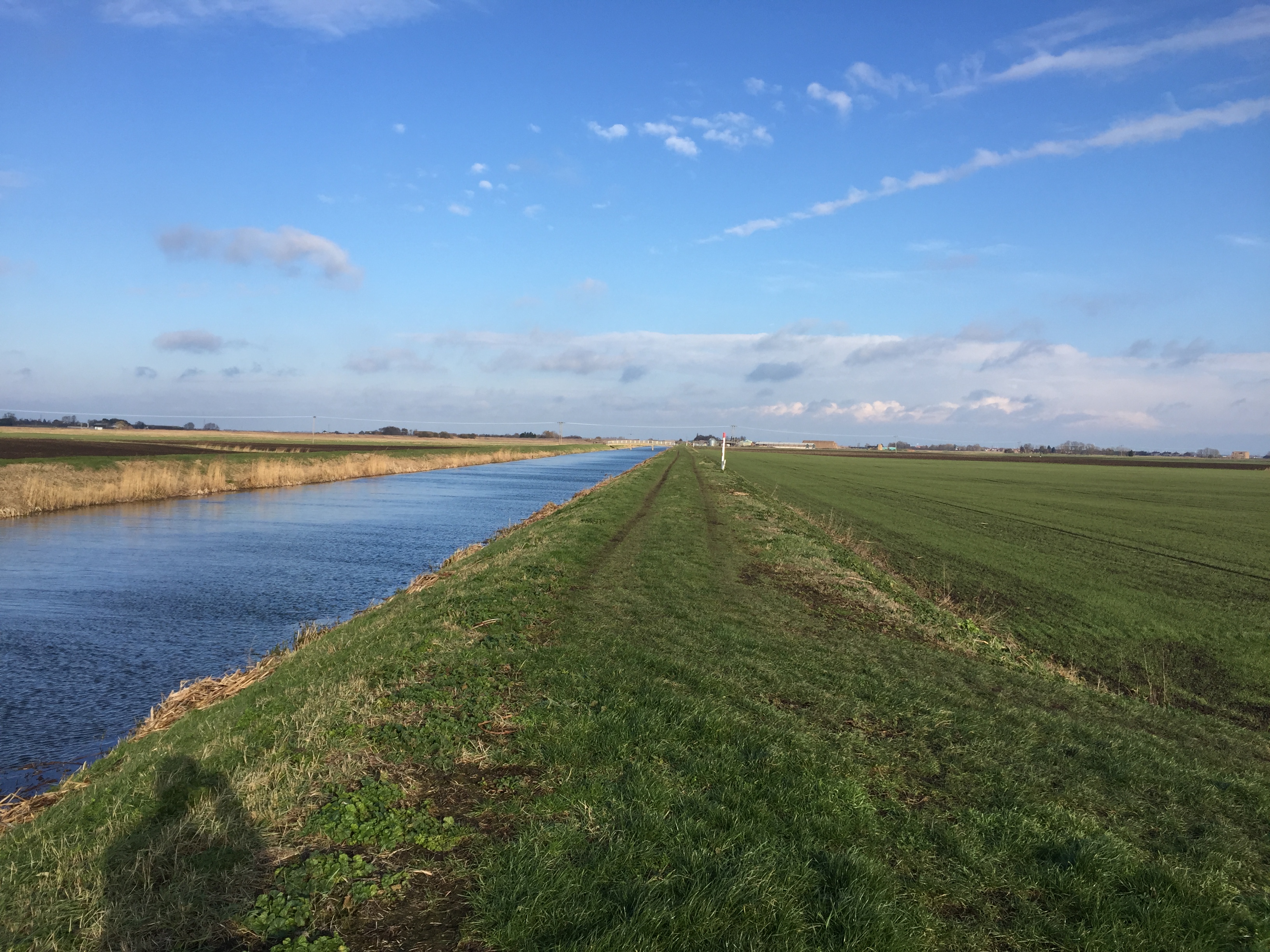
The day was cold but sunny, which is an ideal combination for this area. The first half of the walk consists of footpaths on dykes along various drains, and with no real change in the surrounding landscape this might have been a bit boring, but the sun shining on the ice made the experience pretty enjoyable.

The Fens are a strange place for sure. On the walk I heard the sounds of several dogs barking and howling loudly, but could not see a single dog anywhere – and obviously this was not because a hill obstructed my view. The sounds of the freight trains on their way to and from Felixstowe were also a constant companion, which can be enjoyed at home thanks to some enthusiasts on YouTube.

Unusual things had also happened on the aforementioned walk from March to Cambridge: After taking a picture of a (not very impressive) lake my phone mysteriously crashed and the battery was suddenly completely drained – something that has never happened before or since. Keeping this in mind I brought an external battery this time, which was not needed in the end though.

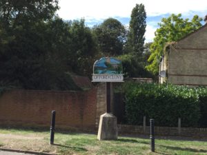
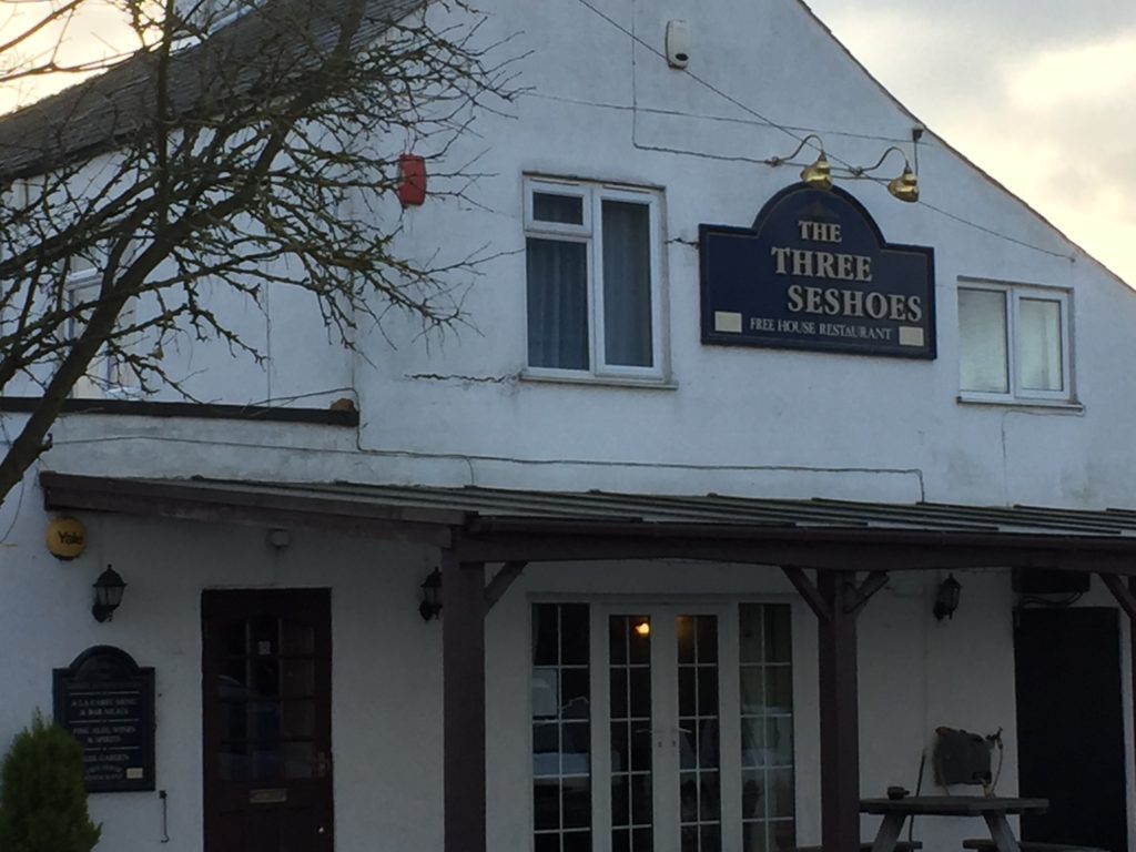
Eventually I reached the remote village of Turves, whose pub is a real-life instance of the Signs of Disrepair trope:

There was also a road sign which said “Park Here and Use Phone at Crossing”, which I was unsure what to make of. I still don’t know what the purpose of these signs is, since googling the phrase merely led to other people asking about their meaning without any conclusive answers. [Update: See Mark’s comment for an explanation.]

The character of the walk changed after passing Turves, and the at times very muddy footpath leads one through fields and farmland. Probably the most memorable moment of the day was encountering this creepy plastic tree shortly before leaving the village behind:

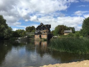
Eventually I reached the River Nene, where the Hereward Way continues along the bank until March. The footpath here leads directly through some people’s back gardens, from where I spotted two swans sitting between the ice:

Annoyingly a very short stretch along the river – just the area between the two gates – is privately owned, which necessitates a detour via a nearby road. 

As far as I could see this was not signposted, so the map I had bought for the walk was a worthwhile investment.

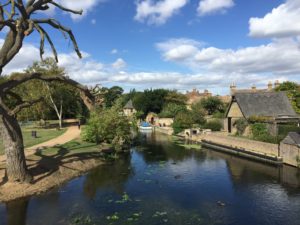
I approached the town of March from the west and walked past some very nice houses – I think the Fens would really benefit from more pink:

Overall the walk was much less bleak than the novel – but the weather helped, and I would only recommend it for those who truly have a taste for desert landscapes. There are other parts of the Fens I still want to see, but probably not all that soon.

Devil’s Dyke

In October C. visited me in Cambridge, and naturally we wanted to see some of the highlights of the region. After considering different options we decided to walk Devil’s Dyke – a “linear earthen barrier” in the east of Cambridgeshire, on the border to Suffolk. (There is another Devil’s Dyke in Sussex).

Devil’s Dyke is notable since it is larger than the other dykes found in Cambridgeshire, and it is already referred to in the Anglo-Saxon Chronicle. Despite its fame, I was concerned whether C. would actually enjoy the walk, since she is generally less enthusiastic about flat landscapes than I am, and furthermore the pictures on Wikipedia made the dyke look pretty boring. Luckily these worries proved to be unwarranted.

We went to the station and took the train to Dullingham. The train was packed with elaborately dressed people, who presumably were on their way to Newmarket for the horse racing. We also regretted not having chosen different clothes, since we had prepared for a fresh autumn day whereas in fact the day turned out to be unusually warm for this time of year.

From Dullingham we walked to the village of Stetchworth, through a street called Tea Kettle Lane:

From there we followed a footpath that brought us to Devil’s Dyke. The actual start of the dyke is about a mile further south in Woodditton, but we had to live without seeing the beginning. As the name Woodditton suggests, this part of the dyke is within a woodland, which I hadn’t expected and was a welcome surprise:

We headed north along the dyke, which is cut by a couple of roads we had to cross. At the end of the part of the dyke which is surrounded by woodland it meets the railway line:

From here on the dyke becomes chalky, and sheep of various colours can be found grazing in the ditch next to it:

A short while later the dyke goes past the Newmarket Racecourse (and for a short stretch the footpath is actually on the racecourse). I found this particularly exciting, since on my first visit to Newmarket I hadn’t made it up to here. This clearly was a racing day, and no doubt some of the people we saw at Cambridge station earlier were now in the enclosure on the other side of the racecourse.

We eventually saw some horses running in the distance and heard them being greeted by the audience. On the dyke there were also several people who had brought binoculars to see some of the race without paying entrance fees.

We continued to head north, and now the landscape became notably flatter.

We also came across a pretty useless gate:

Near the end of our walk, we crossed what the map identified as a disused railway line. I didn’t know what line this used to be, and investigations later revealed that it was the Cambridge to Mildenhall railway (of which I had never heard before). It was closed in 1965; there is a lovely video of the line in action here, which also helpfully points out that building railways in East Anglia was easy since it could proceed “unhindered by geographical obstacles, such as hills and valleys”.

We eventually reached the village of Reach, which marks the beginning of the Fens, and the end of our walk. The local pub is aptly called Dyke’s End, and we had a drink there while waiting for the bus back to Cambridge. Walking Devil’s Dyke had not been boring at all.

Village Pairs

One thing I really like about the local villages is that many of them come in pairs: Two neighbouring villages share one part of their name, but have different pre- or suffixes. A well-known and widespread instance of this are Great/Little-pairs, such as Great and Little Shelford immediately south of Cambridge. I would expect that Upper/Lower pairs are also found more than once, although I haven’t seen such a combination in East Anglia, and can at the moment only think of the Slaughters in the Cotswolds (to which unfortunately I haven’t been yet).

A particular charming aspect is the treatment of village pairs on road signs: They will guide you to the Shelfords, the Mordens, the Offords, etc.

How cute is that? Of course, British road signs are fascinating in many other ways as well. The font that is used is beautiful, and on major A-roads and motorways one can find very general directions like The NORTH or The SOUTHWEST, which I think is an excellent idea. I once cycled through a roundabout one exit of which led to a very busy A-road, and once I saw these signs I knew I should definitely avoid using this exit. (For more on signs and much else I can highly recommend the British Roads FAQ.)

Back to the village pairs themselves though. My favourites are those where the pre- or suffix are quite unusual. The aforementioned Mordens, for instance, are composed not of Little and Great, but of Guilden and Steeple Morden! Individually they are not unique – there is a Guilden Sutton and a couple of other Steeple-villages, but the particular combination seems to be one of a kind. Swaffham Bulbeck and Swaffham Prior, through which I came on my trip to Bury St Edmunds, also deserve a mention.

Even better, in my opinion, are the Offords near Huntingdon, which I came across while randomly looking at a map. They consist of the mysterious sounding Offord Cluny and Offord D’Arcy, and once I had encountered them I immediately decided that I should pay them a visit; a plan I implemented a couple of weeks ago.

I cycled from Cambridge via the Guided Busway, and passed Houghton Mill and Godmanchester on the way, which are both very pretty:

Godmanchester is worth mentioning given the topic of interesting names, since it used to have a rather unintuitive pronunciation: It was traditionally known as GUM-ster, which clearly beats Worcester in terms of unexpectedness.

I then cycled through both of the Offords and captured their village signs: 

Apart from the signs, I have not that much to report about the Offords. They are right next to the East Coast Main Line, which is cool if you like trains. The area is quite hilly by Cambridgeshire-standards, on that day it was also very windy, and the road also didn’t have a cycle path, so the overall situation was more challenging than anticipated. It was good to have seen the Offords nevertheless.

After the trip, I tried to find out more about how exactly the names emerged (relying mostly on Wikipedia: 1, 2, 3). In the Domesday book, there are two entries for the Offords (with different owners), however both are about Opeforde / Upeforde, so it is not quite clear whether there was already a distinction between the two villages or whether they were regarded as one. The one entry gives the monks of Cluny Abbey in France as the owners though, which explains the one name. The name Offord Darcy is apparently documented for the first time in 1279, but nothing seems to be known on it’s origin.

I also looked into whether there is any literature on the phenomenon of village pairs more generally. The obvious place to look was the journal of the English Place-Name Society, where I indeed found an article called “Do –ingas place-names occur in pairs?” by Susan Laflin. I even found a PDF of it on the homepage of the author, however the pairs that are discussed there have a different naming-style from the ones I wrote about here.

Let me close by mentioning some other place-name facts: In Hertfordshire there is a village called Nasty, and not far from there, in neighbouring Essex, is a village called Ugley. And did you know that there is another place called Cambridge (on another River Cam) in Gloucestershire, which is pronounced differently from the more well-known Cambridge?