Eastern Promises

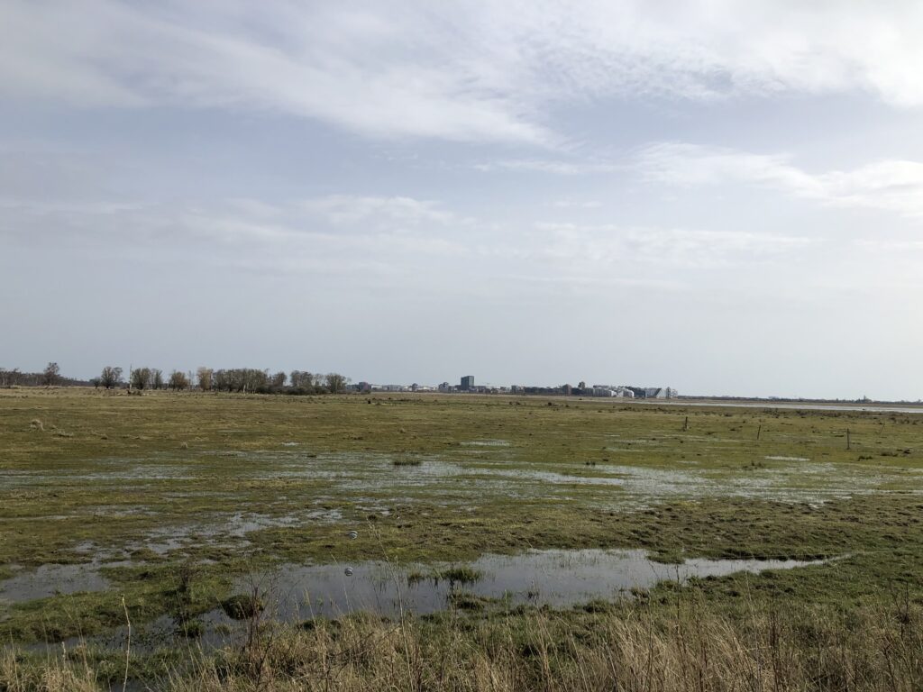
Denmark – setting aside the previously described Jutland peninsula – is a nation of islands. Zealand is the biggest and by far most populated of them. Copenhagen is located on Zealand’s eastern shore, but some parts of the city — as well as the airport – lie on a different and much smaller island called Amager. Parts of it are urban, but in the west there is an area of reclaimed land called Kalvebod Fælled which is a nature reserve of flat wetlands and forests. The southern shore of Amager boasts beaches and quaint villages. And if this weren’t enough, there are even some (modest) hills.
For various reasons Amager has captured the imagination of Copenhageners. The Danish writer Hans Christian Andersen is nowadays mostly remembered for his brilliant fairy tales, but he published in a wide variety of genres. His first book was a fictional travelogue called A Journey on Foot from Holmen’s Canal to the East Point of Amager in the Years 1828 and 1829. The narrator of this book, who lives in central Copenhagen, on the last day of the year 1828 decides that he wants to become a writer. He thinks that walking to Amager will be helpful in this pursuit, and thus sets out on a nightly walk. Things soon take a fantastical turn and the narrator meets a colourful array of mythical figures, such as St Peter, Ahasverus, and even Death himself. Various enriching experiences are made. On one occasion the narrator gets hold of “100 Mile Støvler”, i.e. boots with which one can cover 100 miles in one step. While this sounds great in theory there are difficulties with the application. On his first attempt the narrator tries to walk to Norway, but misjudges the direction and his foot ends up at the bottom of the ocean. On the second attempt he tries to head south, but accidentally treads onto an elegant lady sitting in carriage in Austria. He thus gives up and sticks to Amager and his regular boots.

Not all associations Amager gives rise to are as poetic as those invoked by Andersen. During the latter’s time executions were still taking place on the island, and furthermore Copenhagen’s waste was delivered there, which gave rise to the nickname Lorteøen (shit island). Of more recent coinage is the term Amagernummerplade (Amager number plate),  which denotes lower-back tattoos. On the culinary front there’s Amagermad (Amager food): a sandwich which – unlike the famous smørrebrød1The Muppet show contains a character who in the original is called the Swedish chef. In the German dub he is turned into a Danish chef, and his segments begin with a song whose lyrics are roughly “Smörrebröd, smörrebröd, römtömtömtöm”. – consists of two slices of bread with butter and fillings in between, and in particular two different kinds of bread: one slice is rugbrød (a dark Danish-style rye bread) whereas the other slice is white bread. Often the white bread is used as the bottom slice, and there are competing theories about why that is. One is religious: Consuming white bread was forbidden on Sundays, but God might not see it when hidden below the rest of the sandwich. The other theory has to do with the fact that for many centuries Amager had a substantial Dutch population. Supposedly the rye bread the Dutch produced was less solid than the Danish rugbrød and prone to crumble. The white bread thus had to serve as the base to ensure the integrity of the sandwich.

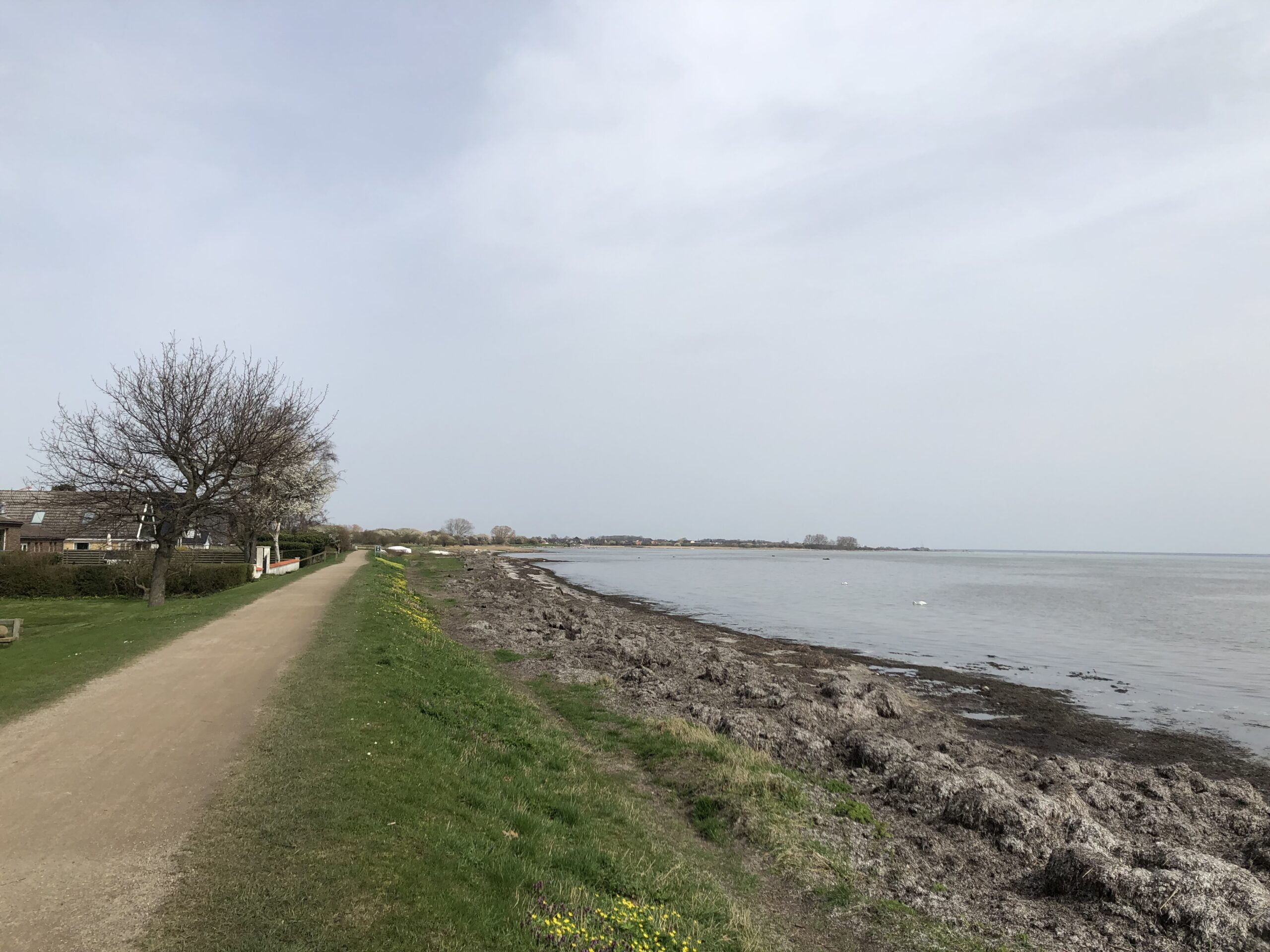
Nowadays one can explore Amager by walking the AmarminoenThis 27km walk begins in urban Amager next to the headquarter of Danish television (DR), then leads south through the nature reserves until hitting the coast, where the path turns east towards the village of Dragør. The scenery is varied and there is a nice mix of nature and urban elements like motorways and railway lines. As one comes closer to the airport one can also watch planes descend. Nordic noir fans might recognise some areas. In the first season of the popular Danish crime series The Killing (Forbrydelsen), the murder victim Nanna Birk Larsen is found dead in a river in the Pinseskoven forrest.
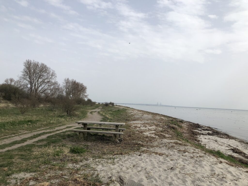
Since I am fan of coastal walks I especially liked the last few kilometres of the Amarminoen along the beach. During this section I enjoyed my sandwich on a bench with a view of the Øresund-bridge to Sweden in the distance.
Later, while walking past the village of Søvang, I came across a notice board announcing Denmark’s longest bathing bridge. The actual bridge was comically short, however, and certainly not 279m long as mentioned on the board:
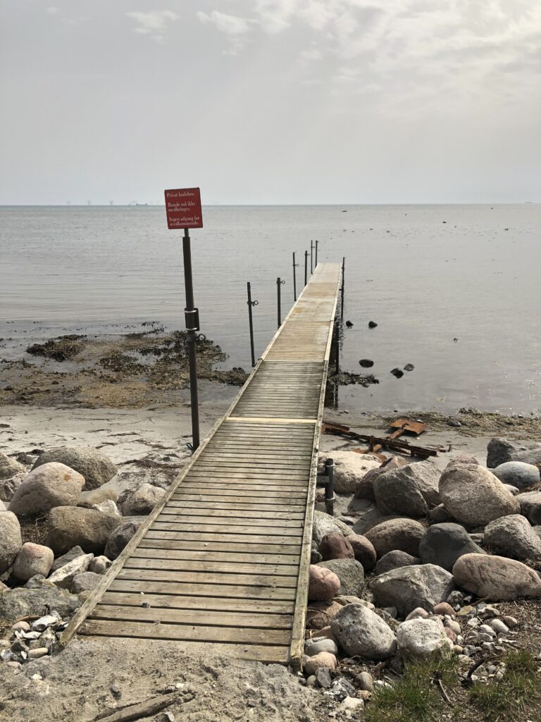
Subsequent research solved this puzzle. Apart from the stump I saw, the actual bridge had been taken into storage for the winter, and was only scheduled to be reassembled a few days after my walk. In 1997 279 metres were sufficient to put the Søvang bridge into the Guinness Book of World Records, but since then a competitor has emerged. In 2014 a 320m long bathing bridge was opened in the northwest of Zealand.

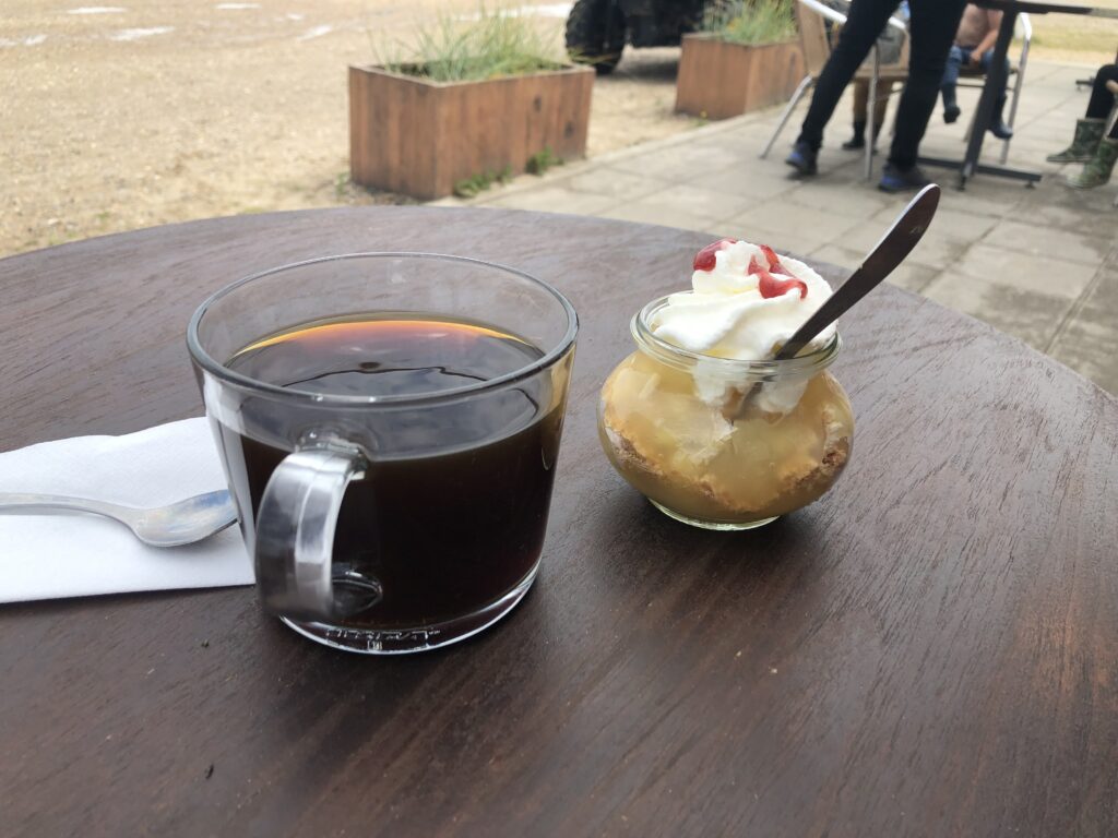
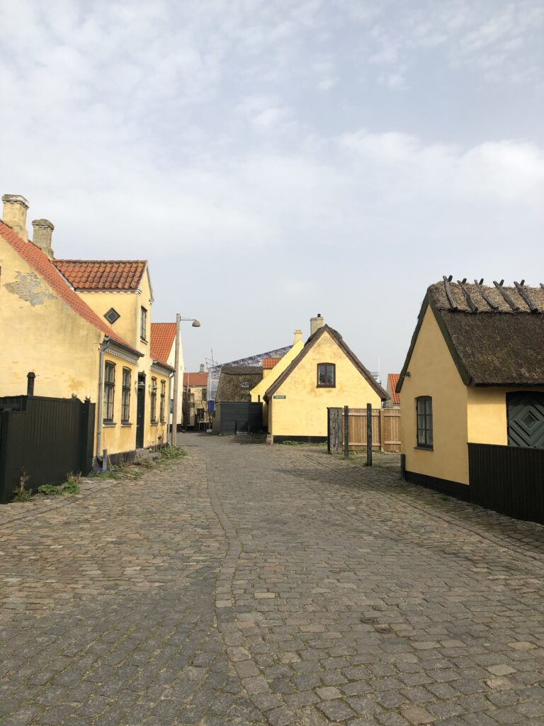
Dragør, at the end of the Amarminoenis a quaint village where the houses are yellow and have thatched roofs. I celebrated the completion of my walk with a coffee and a “soft ice“.
Some more reflections on H. C. Andersen’s journey are called for before concluding. The title of his book promised a walk to the easternmost point of Amager, but where exactly is that point? Comparisons of coordinates I have undertaken on Google Maps point towards a jetty in the Dragør harbour, but arguably that doesn’t really count since it is an artificial structure and probably wasn’t around in 1829 anyway. An area east of the airport, close to a maintenance shed by the Danish national railway, is a better fit. So did Andersen’s narrator go here? The text is not very specific. After entering Amager references to the external environment become sparse and generic. Fields and farms are briefly mentioned, and in the end the narrator is standing on a beach and contemplates what to do next while looking at the sea – which could happen pretty much anywhere.

There is a straightforward explanation for this lack of specificity. Scholars now agree that Andersen didn’t actually know Amager well when writing his book, and certainly hadn’t made it as far out as the easternmost point. He probably only knew the journey from central Copenhagen to Amagerport, which was one of Copenhagen’s four gates. This walk is also often recreated by contemporary explorers, but since it is only 3km it hardly fills the day. Despite not having met any mythical creatures I can warmly recommend to actually do the walk Andersen merely imagined.

Reminiscences of Jutland

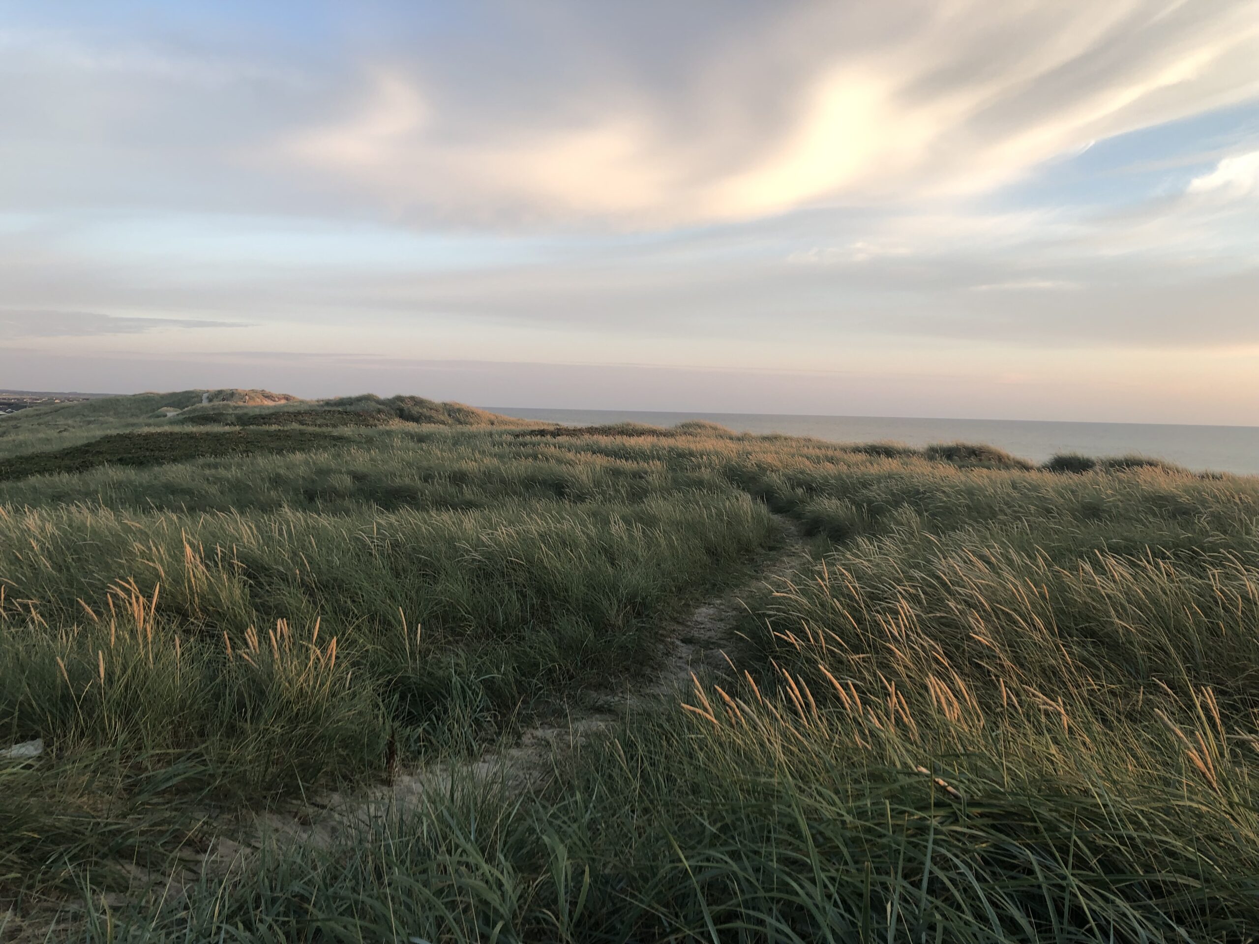
Some people like to go to the seaside, others prefer mountains. What determines such holiday preferences? Anecdotal evidence suggests that they are transmitted from parents to their children. We were a seaside family, and while different locations were tried over the years, the one that stands out is Denmark – in particular the west coast of the Jutland-peninsula. Maybe these holidays caused my predilection for flat and empty landscapes.

To those who know East Anglia, Jutland will seem very familiar. It is flat, full of farmland, and has long sandy beaches. Since I don’t speak Danish it is more difficult to examine the stereotypes associated with it, but as far as I can tell they are similar too: Jutland is considered remote and provincial.

One must keep in mind that Copenhagen is in the far east of the country, on the island of Zealand. For a long time getting to Jutland from there was quite tricky. This can be seen in The Olsen Gang, a classic Danish TV series about the Copenhagen-based gangster Egon Olsen and his accomplices Benny and Kjeld. Every episode begins with Egon’s release from prison. Usually a failed attempt to get rich had brought him there, but he is undeterred and invariably emerges with a new scheme to make money. In one episode the plan is to recover gold from an old German bunker on the west coast. Clearly none of the gang have been to Jutland before, and upon hearing about the plan Kjeld’s wife assumes that they are going abroad and starts to wonder about duty-free shopping. In order to cross the Great Belt separating Zealand from the island of Funen they need to use a ferry. They then cross the (then) newly opened New Little Belt Bridge to Jutland. The episode is from 1971, and it would take until 1998 for the ferry to be replaced by a bridge over the Great Belt as well.

Having arrived in Jutland, Egon and his gang presume that they can easily fool the locals about their secret plan, but they are frequently outsmarted by the scrap dealer Mads Madsen. And they are not the only fictional Copenhagen-based gangsters for whom Jutland has surprises in store. In the film “Flickering Lights” from 2000, Torkild and his companions Arne, Peter, and Stefan manage to secure several million DKK in a robbery. They are supposed to use the money to repay debts they owe a notoriously dangerous gangster boss, but instead decide to flee Copenhagen in order to begin a new and better life elsewhere. The choice falls on Barcelona, but they don’t even manage to leave Denmark: Just after arriving on Jutland the car breaks down. The gang thus end up hiding in an abandoned and dilapidated house in a forest near Fredericia.

Unexpected complications that prevent the group from continuing their journey keep arising. They tell a local, the hunter Alfred, that they have bought the house in order to open a restaurant there. One day Arne, who is worn out by boredom and frustration, goes into the forest and randomly shoots a cow. It turns out that Alfred is the owner. He is very upset at first, but the two soon bond over their shared passion for firearms and end up shooting as many animals as they can lay their eyes on. In the end the four actually refurbish the house and turn it into restaurant. The dream of a better live is thus realised in Jutland rather than Barcelona. 

The hunter Alfred is played by Ole Thestrup, whom many might know from his role as Svend Åge Saltum, the leader of the right-wing Freedom Part in Borgen. In addition to politics Svend Åge owns a pig farm in Jutland, and in one episode demonstrates how to cut off a piglet’s tail on live TV. In another episode he is attacked while out on the streets of Copenhagen. In a subsequent interview he rejects the stereotype that Jutlanders have no street smarts, and emphasises this point by singing “People from Jutland are strong and tough“. The lyrics are by the 19th century writer Steen Steensen Blicher, described as the “melancholic poet of the Jutland heath“, whose life “in one of the most impoverished and secluded parts of Denmark as well as a constant debt and an unhappy marriage” moved him to heavy drinking and lengthy hunting trips.

We will now leave these fictional and real Jutlanders behind, but let me close this digression by saying that the English subtitles for Borgen on Netflix seem rather harsh: they translate “Jutlander” as “hillbilly”. 

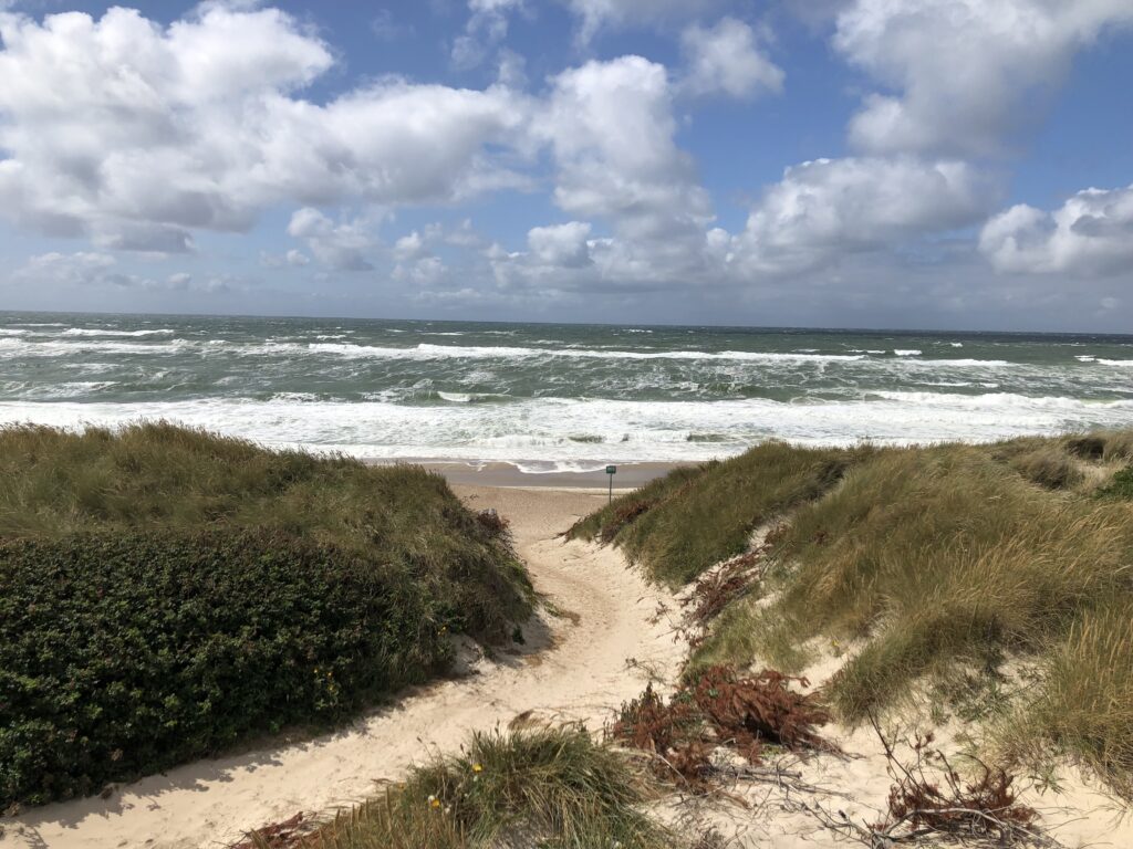
My own knowledge of Jutland is largely restricted to Holmsland Klit, a narrow spit of land separating the North Sea from the Ringkøbing Fjord. For many centuries this was a series of small islands rather than a continuous stretch of land. Farmers brought their cattle there to graze during the summer months, and  in addition grew corn and potatoes. Originally the major link between the fjord and the sea was on the southern end, near the village Nymindegab. Over time sand started to build up, however, so that by the early 20th century the fjord threatened to become a mere lake. To prevent this it was decided to build an artificial canal in the middle of Holmsland Klit. The project started in 1909, but heavy storms and flooding derailed the completion, so that the current canal, which includes a sluice, was only finished in 1931. It is part of the new town Hvide Sande.

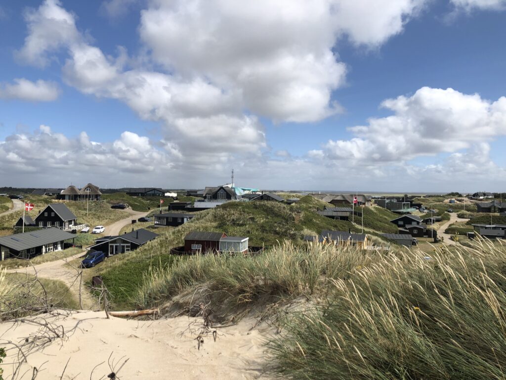
Nowadays Holmsland Klit is dominated by holiday homes to which German tourists flock in the summer. The long sandy beaches without a noticeable tide make it a very attractive spot, as long as the weather cooperates. Seaside tourism has been thriving in Denmark since the late 19th century, when fashionable “bathing hotels” opened in places like Hornbæk, on the northern shore of Zealand and easily reachable from Copenhagen. But thanks to its natural beauty Jutland also attracted those from the capital who could afford it. The TV series Badehotellet entertainingly portrays life at a seaside hotel near Skagen, in the far west of Jutland. The same assortment of guests arrives every summer and has been doing so for years. Their personalities are quite different and include a flamboyant actor, a gloomy prophet of doom, and an old lady whose idea of a holiday is a never-ending bridge tournament – naturally on the same table in the same corner of the lounge every year. Another regular is a wealthy merchant who, while strolling through the barren dunes one day, hits upon the idea to build holiday homes. Obstacles are thrown in the way of this plan, but it was clearly an idea whose time had come.

Since the opening of the Hvide Sande canal Nymindegab has lost its role as the entry point to the Ringkøbing Fjord, and is for the most part a quiet village. There was some excitement in 1990, when a sperm whale washed up on the beach. Its skeleton is now on display in a small museum. A more niche local attraction of sorts is a takeaway restaurant with comically bad reviews. Danish fast food is pretty straightforward. Hot dogs with the distinctively red sausages (“røde pølser“) and soft ice are the classics. Burgers are of course popular too. Not much can go wrong with this, one may think, but one outlet in Nymindegab seems to prove this wrong. So many unhappy customers have written negative reviews complaining about both the low quality of the food and the rude treatment they received that satirical reviews have started to appear. The latter express disappointment because the soft ice did not tase like washing-up liquid and the owner did not yell at the customers. 

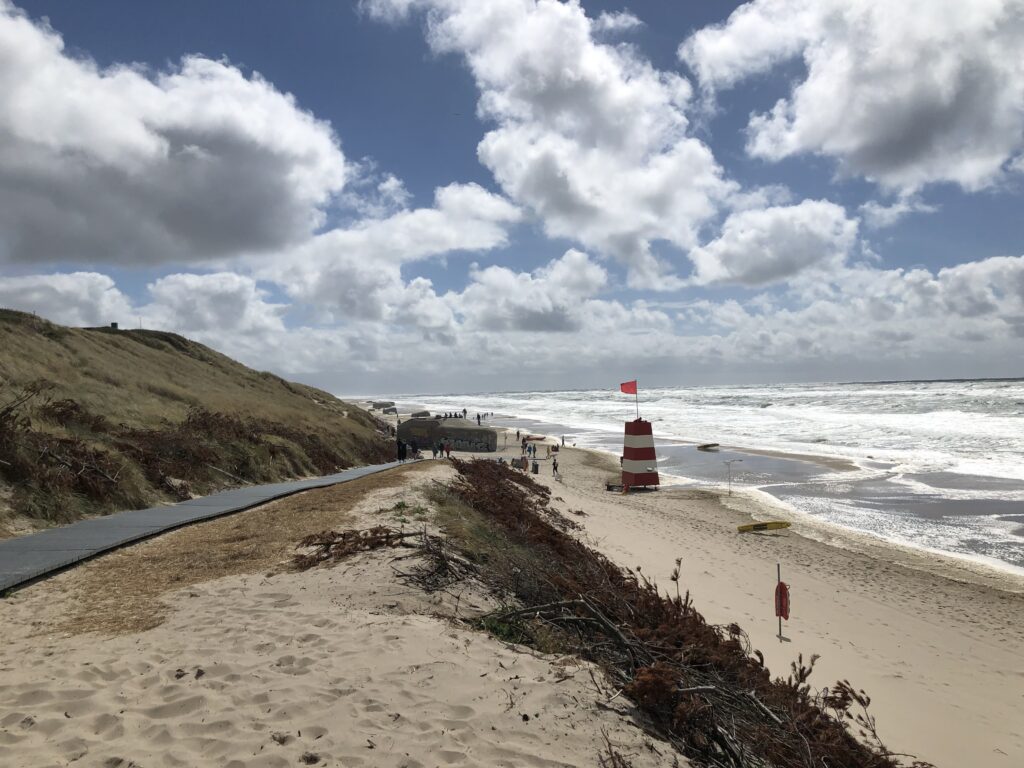
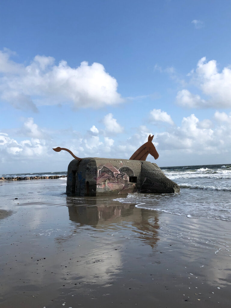
German bunkers were mentioned already. They were built after the German occupation of Denmark in 1940 as part of the Atlantikwalla system of sea defences reaching from northern Norway to southern France. Since bunkers are difficult to get rid of they remain standing as reminders of the past. In Blåvand several bunkers have been decorated with heads and tails to resemble mules. The infertile mule serves to express the hope that bunkers will not again multiply in the future. 

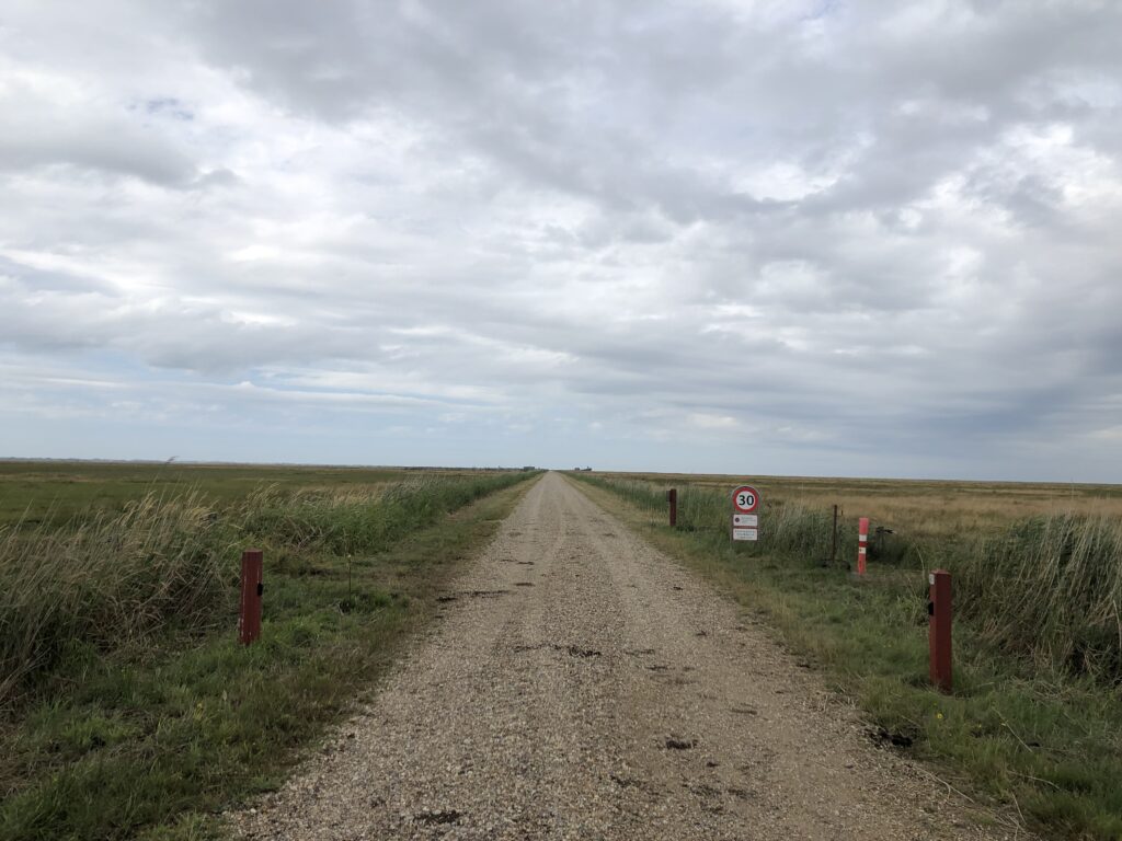
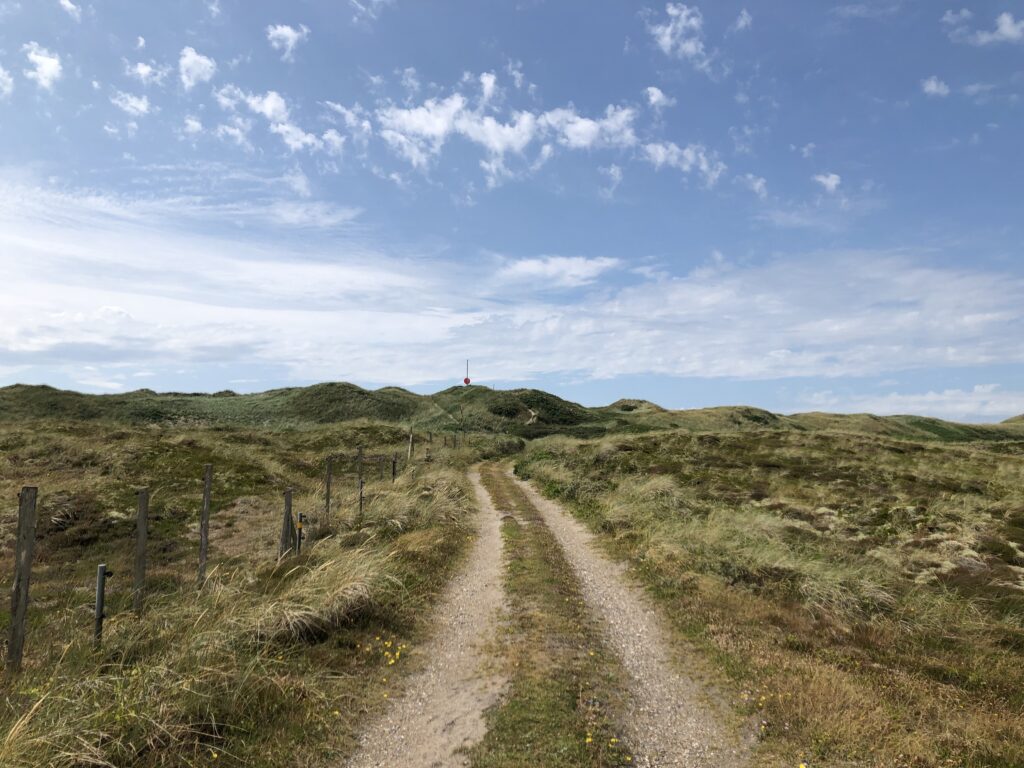
After the occupation ended in 1945 it was felt that the Danish army needs strengthening. One consequence of this was the formation of the Danish Home Guard (Hjemmeværnet), an organisation of volunteers with roots in the resistance movement that opposed the Germans. Just north of Nymindegab the Home Guard has a training area that endlessly fascinated me as a child. I could never get enough of the bright yellow warning signs along the cycling path, which explained that raised red balls on the poles spread across the training area mean that military exercises are taking place. 

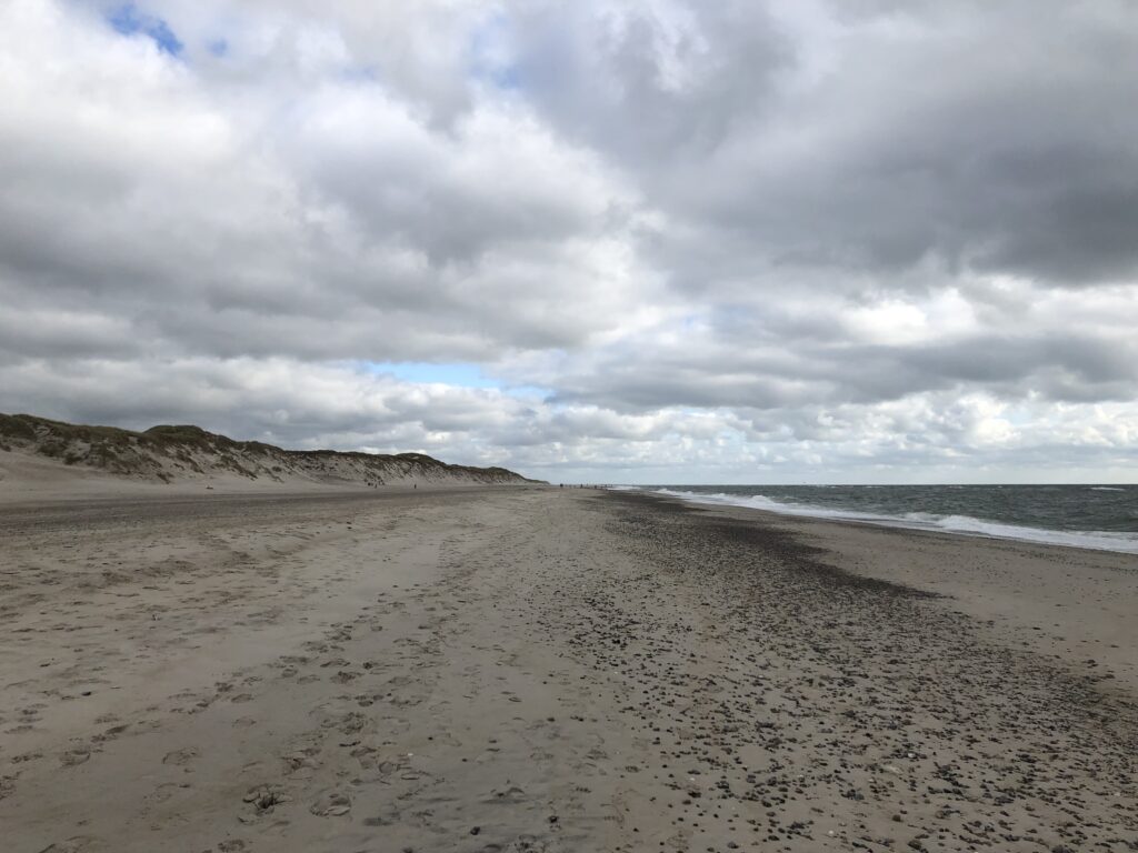
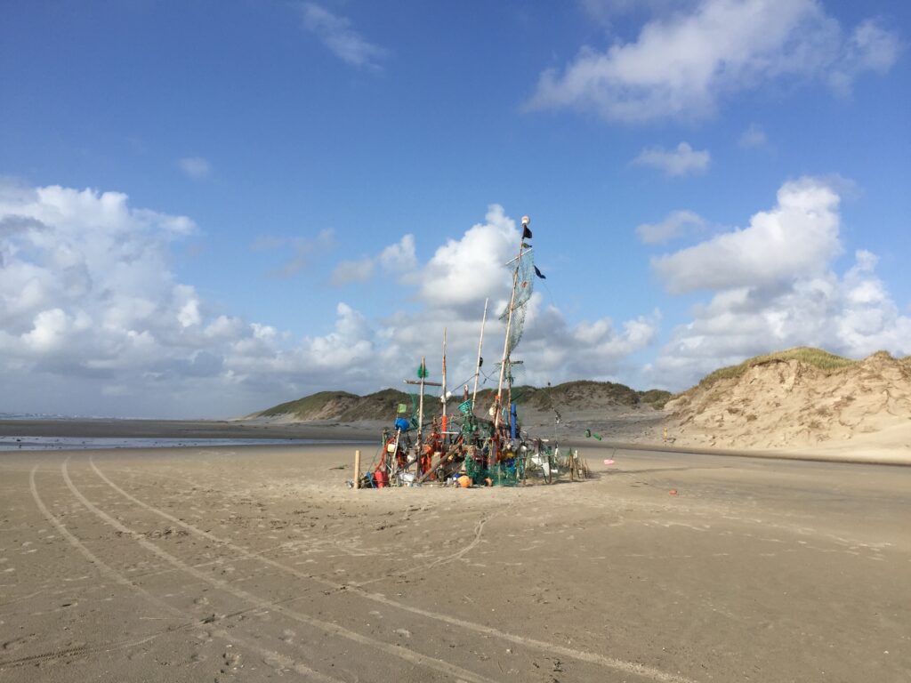
To my great disappointment the balls never went up during our holidays. At least here. Near Blåvand, however, there is a much larger training area that is used by the proper army, and here major exercises are common even during the summer. Often the artillery fire can be heard for many miles. When there is no exercise once can to drive through the heart of the training area, the Kallesmærsk Hede, on a gravel path with even more exciting yellow signs on the sides. The beach between Blåvandshuk – Denmark’s westernmost point – and Vejers Strand is also closed when military operations are taking place. Otherwise it makes for an excellent walk, since the beach feels very remote and is full of strange objects that have been swept ashore. 

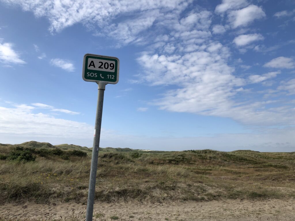
Over 20 years have passed between the first and the last time that I visited Jutland, and not that much seems to have changed – at least in Holmsland Klit. In addition to the military signs I also used to have a passtion for beach numbers and rescue posts on the beaches, and both are still there. (Apparently the beach numbering system was unified and extended between 2011-2013 though.) Obviously the complex rules about how to fly the Danish flag remain in place. Postcards have become unusually expensive. Since fewer letters are being sent postage costs have been rising rapidly in recent years, and so sending a postcard abroad now costs over £4, which seems to be the highest price for this type of service in the whole world. One in fact needs more stamps than can be fit on the card, at least if one also wants to write a message, and so the postcard needs to be put in an envelope. 

Something that would be very useful now but has sadly disappeared is a ferry that used to run between Esbjerg, the largest town in West Jutland, and Harwich in Essex. It ceased operations in 2015 and is unlikely to re-appear. One connection between Denmark and East Anglia is thus no longer, but many others do and will remain. 

Flat Austria

For the last few months I have been living in Vienna, which is my first extended stay in Austria. The first line of the country’s national anthem is “land of mountains”, and I have indeed gone for several walks in areas with, at least for me, impressive levels of elevation. It certainly has its own appeal, and I might actually miss mountains when I move back to flatter parts of the world. But of course I also wanted to investigate the flat parts of Austria itself.

As usual I did some thorough research on Vienna before moving there, which chiefly consisted in watching Austrian movies and tv shows. One of those movies immediately became one of my all-time favourites, and I have re-watched it several times: Indien with Josef Hader and Alfred Dorfer. It revolves around two employees of the federal state of Lower Austria, whose job it is to inspect hotels and restaurants around the state. In this role they check whether, as regulations demand, the Wiener Schnitzel is actually made of veal, and investigate the consistency of the bread rolls as well as the water pressure of the showers.

The two protagonists – Mr. Bösel and Mr. Fellner – have very different personalities, to say the least. Bösel drives recklessly while drinking beer, throwing the empty cans out of the window or into the back of the car. Fellner fancies himself an intellectual, carrying around Trivial Pursuit cards and theorising about the relationship between geography and local cuisine. The popularity of cakes and pastries in Austria, for instance, is allegedly explained by the mountainous landscape.

Unsurprisingly spending days together on the road quickly leads to conflicts between Fellner and Bösel, to great comedic effect. In the end an unlikely but touching friendship emerges though, and the film then takes a sad turn I will stay silent about here. (There’s a DVD which apparently has English subtitles, and in German it is available to stream).

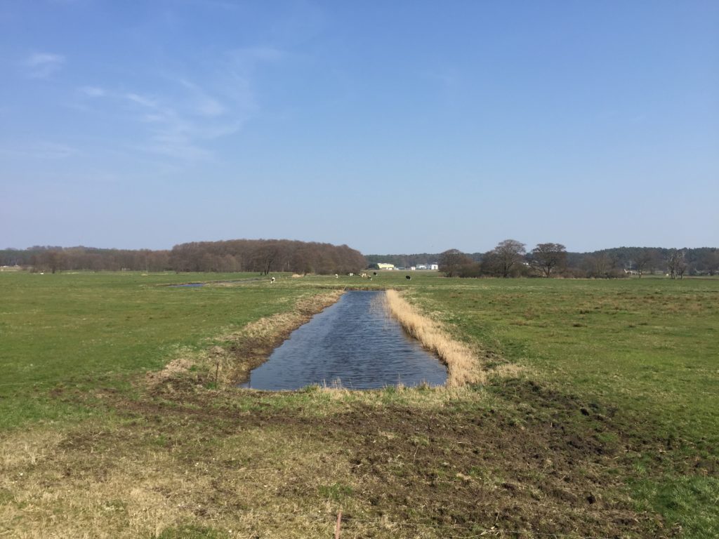
Through Indien I found what is, in effect, the East Anglia of Austria. One scene has the protagonists driving through a completely flat landscape composed of muddy fields and long straight roads, with the occasional railway line cutting through. There were even oil pumps, like in Texas. Where could this be? By freezing the frame and zooming in on the road signs it became clear that they were in the Marchfeld, an area to the northeast of Vienna dominated by agriculture.

Of course I now wanted to find out as much as possible about the Marchfeld region, but there seemed little to go on initially. Eventually I came across a novel set in the area though, which in my experience is always an excellent resource: Matthias Mander’s Wüstungen (Deserted Villages) from 1985. The book was long out of print, so I went to an antiquarian bookshop in Vienna to get a copy. The bookseller was curious to learn more about the author of the book, since apparently his novels sell quite well even though he is not a household name. I said that I didn’t really know any details either, since my interest in the book was for geographical reasons. It seemed unlikely to both of us that the other buyers share my passion for flat landscapes.

My expectations about the literary quality of the book were modest, since I feared that it would be a bit dated. But I was positively surprised. It is certainly no equivalent of Waterland, the Great Fenland Novel discussed on an earlier occasion, but I enjoyed reading it nevertheless. The plot is roughly as follows: the protagonist Zwigott is frustrated with his high-profile industry job in Vienna, and quits in order to work as a school teacher in the Marchfeld town of Gänserndorf. His life gets entangled with that of other inhabitants, such as the troubled bank director Siegl, who is trapped in an unhappy marriage and finds a tragic end. He also develops an interest in the history of the Marchfeld. Towards the end of the book he goes on a long, lonely walk to look for an abandoned village, even though it is an unusually hot summer. This walk leads to “character-forming insights”, so the chronological summary at the beginning of the book, and in the end Zwigott returns to his industry job.
Some aspects of the novel felt a bit gimmicky, such as that the teachers are using a computer to write something like an interactive history of the Marchfeld – although in some sense putting hypertext in a book from 1985 is of course quite original. But I did enjoy the detailed descriptions of travelling on commuter trains, and learned various interesting facts, such as that Ernst Mach grew up in the Marchfeld, or that the construction of the now existing canal through the Marchfeld was a controversial issue at the time. And the following remark, translated somewhat freely, certainly resonated with me:

The oppressive absence of the sea! We’re in the middle of a scorching hot continent, with a few shallow ponds as our only relief.

For while I like Austria’s mountains, I do not enjoy it’s lack of ocean access. All the land surrounding me does sometimes feel oppressive. But luckily the lakes and rivers are much more than mere ponds.

After all the cultural input I obviously wanted to experience the Marchfeld in real life. Unsurprisingly there were not many descriptions of walks in this area available online, as people usually head out of Vienna because they find it too flat already. But I found a promising route on, of all places, a mountaineering forum. I was a bit unlucky during this walk though. For one thing, I really wanted to take the most direct route to Marchegg, the starting point, since it features Austria’s longest stretch of completely straight railway tracks (~30 km). When I read about this I was reminded of the railway to Great Yarmouth parallel to the Acle Straight, only that at the end there is Slovakia rather than the sea. But it was not to be, as there are constructions works on the line all summer.

I made it to the starting point anyway, on a day that was definitely as hot as that on which Wüstungen’s hero Zwigott gained his life-changing insights. This would have been fine, as I was well equipped with a hat and lots of water. But part of the walk also lead to a jungle-like area with thick vegetation and lots of water, the perfect terrain for aggressive midges. The intended route right through the middle of this jungle was closed due to some unspecified “imminent danger”, which was maybe for the best. The alternative route around was less scenic, but also had fewer mosquitos.

Despite these setbacks and the heat I was happy with the walk. At the endpoint in Angern there was an inviting bench in the shade right at the river March. I sat down to recover, drink water, and watch a ferry operating between the Austrian and the Slovakian sides of the river.

The border between Austria and Slovakia along the March is 91km long. Until 1989 this was also the border between the Western and Eastern blocs, which explains why there are very few bridges over the river: three in total, and just a single one for cars, in the very north. There were plans to build a new road bridge in Angern, replacing the leisurely car ferry, but in 2014 a large majority of the population voted against the proposal. Not because of a general dislike of bridges, apparently, but out of a fear that too much traffic through the centre of town would result. Plans are now being drawn up for a bridge in a different, less central location, which might be built in a couple of years.

Rambling through Brandenburg

Theodor Fontane is best known as the author of a number of realist novels in the late 19th century, such as Effi Briest. We read this book in school, and while I quite enjoyed it at the time, the general consensus seemed to be that Fontane is a dull writer – an impression our German teacher was not eager to dispel. In 2019 interest in Fontane sparked again since it would have been his 200th birthday, but it seems safe to say that in general he is regarded as a rather pedestrian author, and even those interested in German literature will not necessarily have read any of his works.

In my opinion this reputation is unjustified, and would recommend the short and gossipy Frau Jenny Treibel to anyone who is curious. This is not a blog about literary criticism, however, and the reason for mentioning Fontane at all is a project he worked on before moving to fiction: namely his Wanderungen durch die Mark Brandenburg, a massive five-volume travel book in which he describes countless walks undertaken in Brandenburg, the rural county that surrounds the city of Berlin.

In the past I have lived in Berlin for a number of years, but, unfortunately, never ventured out of the city limits much. As I unexpectedly found myself back for an extended period of time this summer, there was finally the chance to follow Fontane’s footsteps. One thing I had never appreciated until now is that Brandenburg is huge: bigger than Norfolk, Suffolk, Essex, and Cambridgeshire combined, to put it in East Anglian proportions.

In the preface to the Wanderungen, Fontane warns that those who “always demand a glacier or the roaring see in order to be satisfied should rather stay home”. Indeed, Brandenburg is not a place of extremes: like East Anglia it is relatively flat, with the highest peak just over 200 metres, and unlike its equally flat northern neighbour Mecklenburg-Vorpommern it is landlocked. The relative lack of sights is indeed part of what motivated Fontane to write his travelogues, for he though that there are hidden gems to be found for those with open eyes and minds. Obviously this is the kind of project I can relate to.

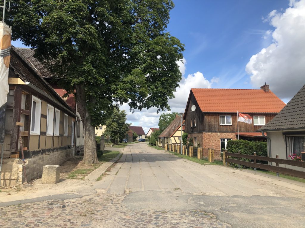
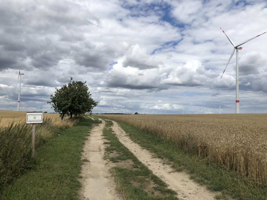
One of my favourite journeys led me to a part of the county that Fontane doesn’t actually cover, namely the so-called Uckermark. This is one of the most rural and sparsely-populated areas in the whole of Germany, and also provides the kind of landscape I enjoy most: flat with some gentle rolling hills, and not too many trees to block the view. A more modern development is an abundance of wind turbines.

I think the reason Fontane did not write about the Uckermark in any detail is that it is quite far away from the city, and it was much more convenient to visit the areas immediately surrounding Berlin. For it was not the case that Fontane roamed the countryside for weeks with just a tent and a backpack in order to gather material: he mostly went on short day trips using coaches and trains. This makes it somewhat doubtful whether Fontane would actually have enjoyed the many long-distance footpaths that have been named after him in recent decades.

My second major expedition was to Lake Stechlin, the deepest lake in Brandenburg, and also one of the clearest. This brings us back to Fontane’s literary works, for the last novel he completed is inspired by this particular lake. (Fontane describes the plot of this book as follows: Two young people get married, and an old man dies.)

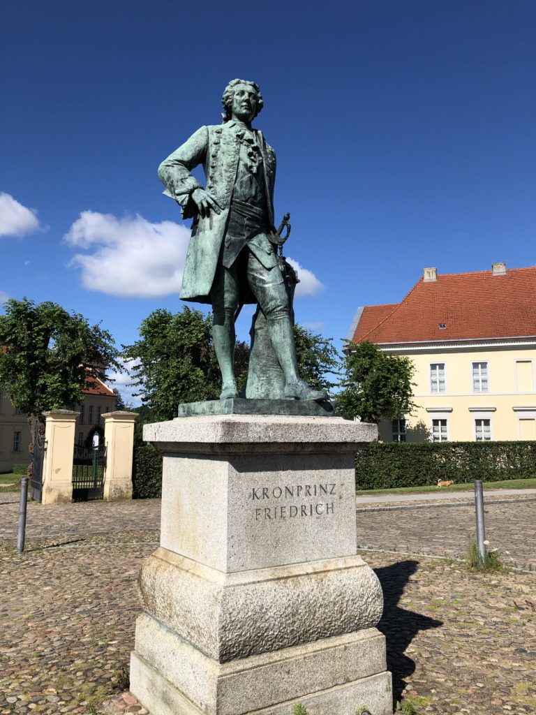
I started my walk in the small town of Rheinsberg, which is home to a castle with an interesting history. Before he became king of Prussia, Frederick the Great – famous for, among other things, popularising the potato – resided here and enjoyed the pleasures of music, theatre and literature.

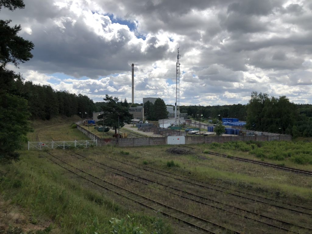
From Rheinsberg I ventured east towards the lake. This part of Brandenburg is all woodland, and so I walked between trees until I reached some deserted railway tracks that lead to a decommissioned nuclear power plant. The plant was built by the East German government in 1966, and closed nearly immediately after the end of the GDR. It will still take some years until all remains of the plant are completely gone, however. On Wednesdays in calendar weeks it is possible to visit to see how the demolition is proceeding.

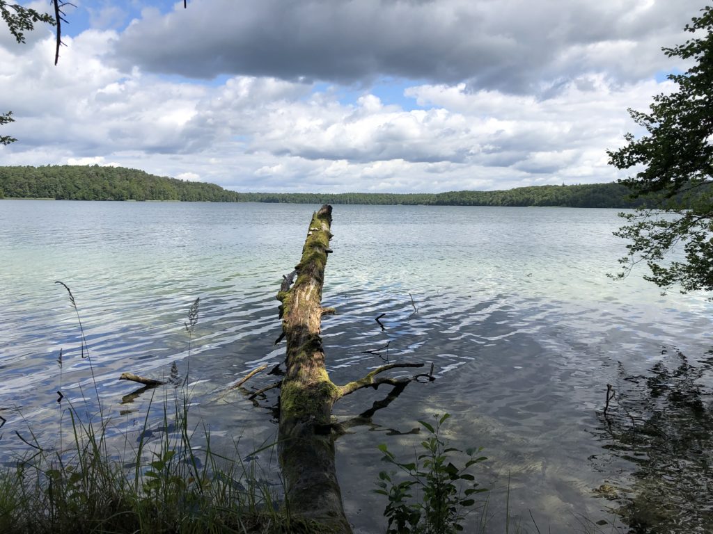
Right after the power plant I finally reached the legendary lake. In Fontane’s novel there is a mysterious connection between the lake and the wider world, so that when major historical events occur Lake Stechlin reacts by producing high waves. I also learned that there is a kind of fish that only lives in this particular lake, which is, no surprises here, named after Fontane. The fish of Lake Stechlin only have two eyes, in case you were wondering.

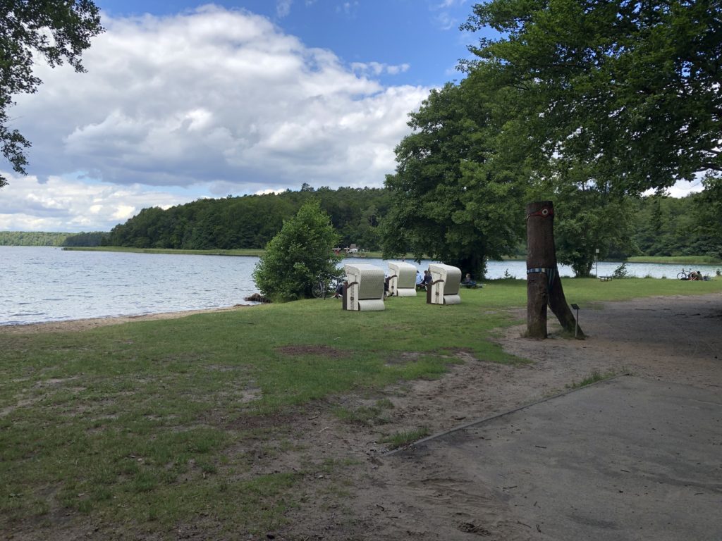
I had now arrived in the village Neuglobsow, on the southern side of the lake, which is a popular holiday destination. This being Germany there were of course Strandkörbe

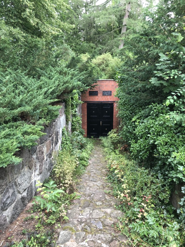
Neuglobsow is roughly halfway between the two railway stations that framed my walk – Rheinsberg and Fürstenberg – and so there was still quite a long way to go. Since it was a hot day, and I had ticked off the main attraction, I planned to proceed quite quickly. When I encountered a sign pointing to a historical graveyard and “Metas Ruh” (Meta’s Peace) I had to stop and investigate, however. Metas Ruh turned out to be a small crypt:

A sign on the wall told the following story: Anna Meta Catharina Noack, said to have “outer beauty, a sharp mind, musical talent and unusual knowledge”, was buried here by her husband Johann Heinrich August Nowak. This seems to have been a tragic affair, for she was only 25, and their 9 month old son is also buried there. Fontane actually has some more of the background story in the Wanderungen, but they are recorded in a regional dialect which is difficult to follow. Johann Heinrich August seems to have remarried, in any case, and I feel that the name Meta should make a comeback.

Flatness Abroad: Usedom

This is the first in a series of posts that differ from the usual format in not being about journeys in East Anglia. This time the landscape is still flat, but in the future hills will probably make an appearance as well. There’s no reason to worry though, as I still have a long list of trips I want to make in the East of England.

I recently stayed in Berlin for a week, and wanted to go for a walk in the countryside surrounding the city. Berlin is quite a good base for someone with my tastes: The writer Thedodor Fontane, for instance, was apparently motivated to write his “Rambles in Brandenburg” about the neighbouring federal state because it was perceived to be one of the least interesting parts of the whole country. I preferred to venture somewhat further afield though to Mecklenburg-Vorpommern, which I think can justly be regarded as the East Anglia of Germany: It is flat, rural, remote, and has lots of water.

Initially I had planned a walk between the two seaside towns of Warnmünde and Graal-Müritz on the Baltic coast, however this could not be implemented since bus replacement services would have made the already very long journey unfeasible. Instead it was decided to go to the island of Usedom, a popular holiday destination. I had already been there once a couple of years ago with C. It had been an extremely hot summer and staying in the city was not enjoyable, so we decided to go to the seaside and stay there overnight on the beach – with only our sleeping bags and no tent, as there had not been any rain in weeks. Unfortunately this changed at around 5am, when we were rudely awoken by a massive downpour, and had to walk through the flooded streets of Zinnowitz to the railway station. There we caught the first (heavily air-conditioned) train for the three-hour journey back to Berlin, and, in our wet clothes, were probably the only people in the city who thoroughly enjoyed the high temperatures.

Despite this memorable precedent C. accompanied me again this time, and soon we were on the branch line to Usedom. We disembarked at the village Kölpinsee, where tiny roads and cul-de-sacs have grandiose names, such as German union street (Straße der Deutsche Einheit) and Diplomat’s way (Diplomatenweg) (only one house).

Thatched roofs are very common on the island, and we came across a good number of them. Not only that, we also walked past the home of a thatcher, which was quite the coincidence since the night before we had watched a documentary about life on Usedom in which that very thatcher was being portrayed, and had talked about how much he enjoys working with the material reed.

We soon reached the end of the village, which was marked by a very German fish restaurant with a humorous weather station:

(Wet stone: rain, white stone: snow, dry stone: sun, shaking stone: wind, invisible stone: fog, stone on the ground: end of the world).

We continued through fields until we reached a place called Loddiner Höft on the southern coast of the island. The views were pleasant, and unlike on the northern site the water here is very still as it is part of a lagoon.

I had bought a map for this walk, however I was not very happy with it as it was not detailed enough, and there were real-life paths that were not shown on it, while other paths that were shown could not be recognised in the real world. According to this map we would have to double-back to where we came from in order to continue our walk, but we saw a well-trodden way through the forest which, so we hoped, would surely also lead us to our destination. Why would it be frequently used if it were a dead end, after all?

We therefore followed the path, which was quite steep at times:

Soon an alternative explanation for the popularity of the path was found though: It ends at a remote beach. On the one hand this was disappointing as we now had to walk back for an even longer time, but on the other hand we had found the perfect spot for lunch.

After that we walked and, for the steep parts, scrambled back to the fish restaurant, from were we headed towards the slightly larger town of Koserow. On this stage of the walk the resemblance to the landscape of East Anglia, in particular some areas in Norfolk, was particularly striking, so I felt very much at home.

On the way we also saw a quaint traditional oven, which I think is used for baking bread: 

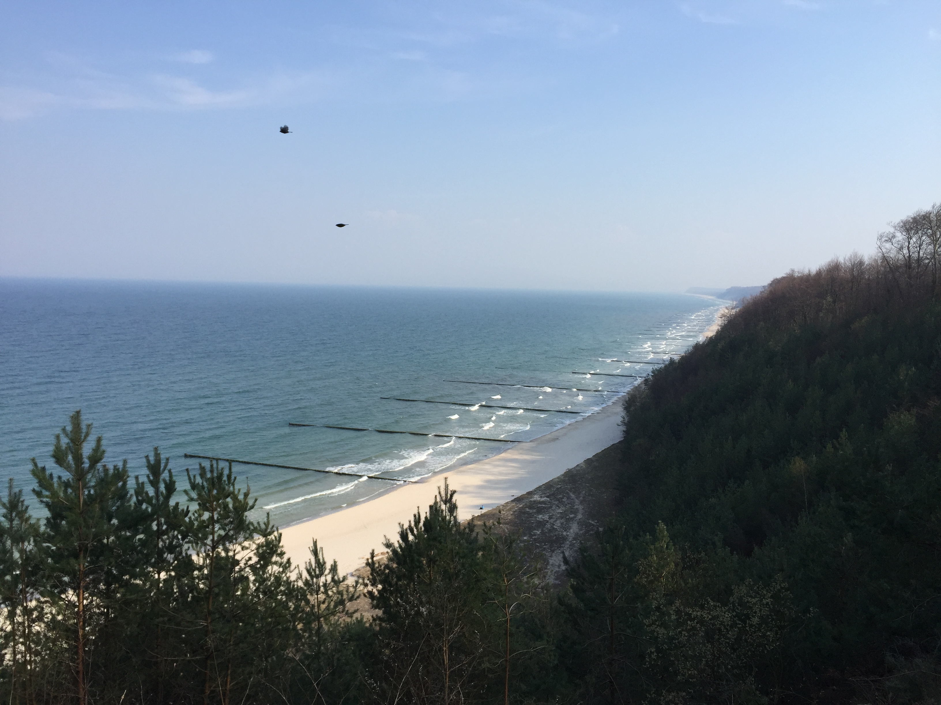
In the town we stopped for a coffee break to prepare for for the final part of the walk: The ascent of the Streckelsberg, which with 58 meters is the third-highest hill on Usedom. Overall the hill is dominated by a forest, and one disadvantage of trees is of course that they tend to block the view. Nevertheless there were some spots from which we could enjoy the northern coast of the island, as can be seen in the header image. After descending we walked west along the beach to the village of Zempin, from where we intended to take the train back home.

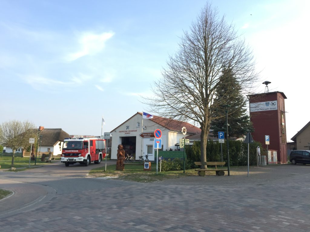
Our timing was not ideal, for as we arrived at the railway station the next train was in 40 minutes. To pass the time we walked through the quiet village, wondering how many of the houses are holiday homes, and how many have permanent residents. As in so many other German villages the centre of the social life seemed to be the house of the volunteer fire department – which may seem odd, but is pretty standard.

Usedom is so narrow at this point that after about 15 minutes we had again reached the southern end, so we turned around and walked back to the station. Overall this journey can be counted as a success: Flat walks are possible in Germany, and unlike the last time we stayed dry until the end. I therefore plan to explore to Mecklenburg-Vorpommern more in the future.