Suffolk Coast (Part 3)

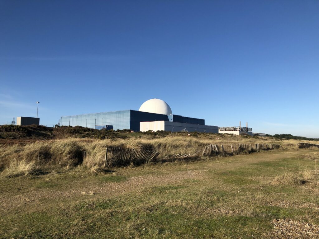
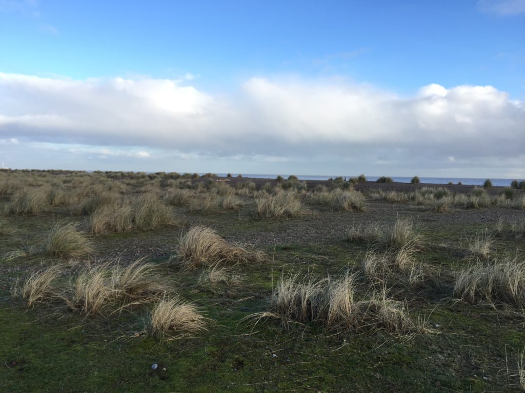
It has been a while since the last report on East Anglia proper, but I have not been completely inactive. In September 2020 I completed the Norfolk Coast Path by walking the last two missing stretches: from Winterton to Great Yarmouth, following the footsteps of Robinson Crusoe, and from King’s Lynn to Hunstanton. Most of 2021 was then spent on the continent. Ever since starting this project in early 2019, I had wanted to continue walking the Suffolk Coast Path, in particular the route from Southwold to Aldeburgh. I put this off many times because, due to the lack of public transport in this area, one has to stay overnight, and accommodation tends to be pricy. Early January 2022, however, seemed an excellent time to finally go ahead with the plan.

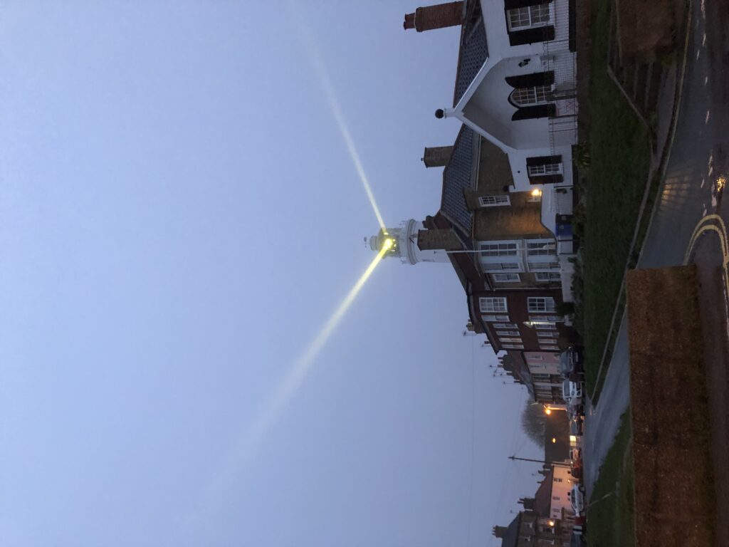
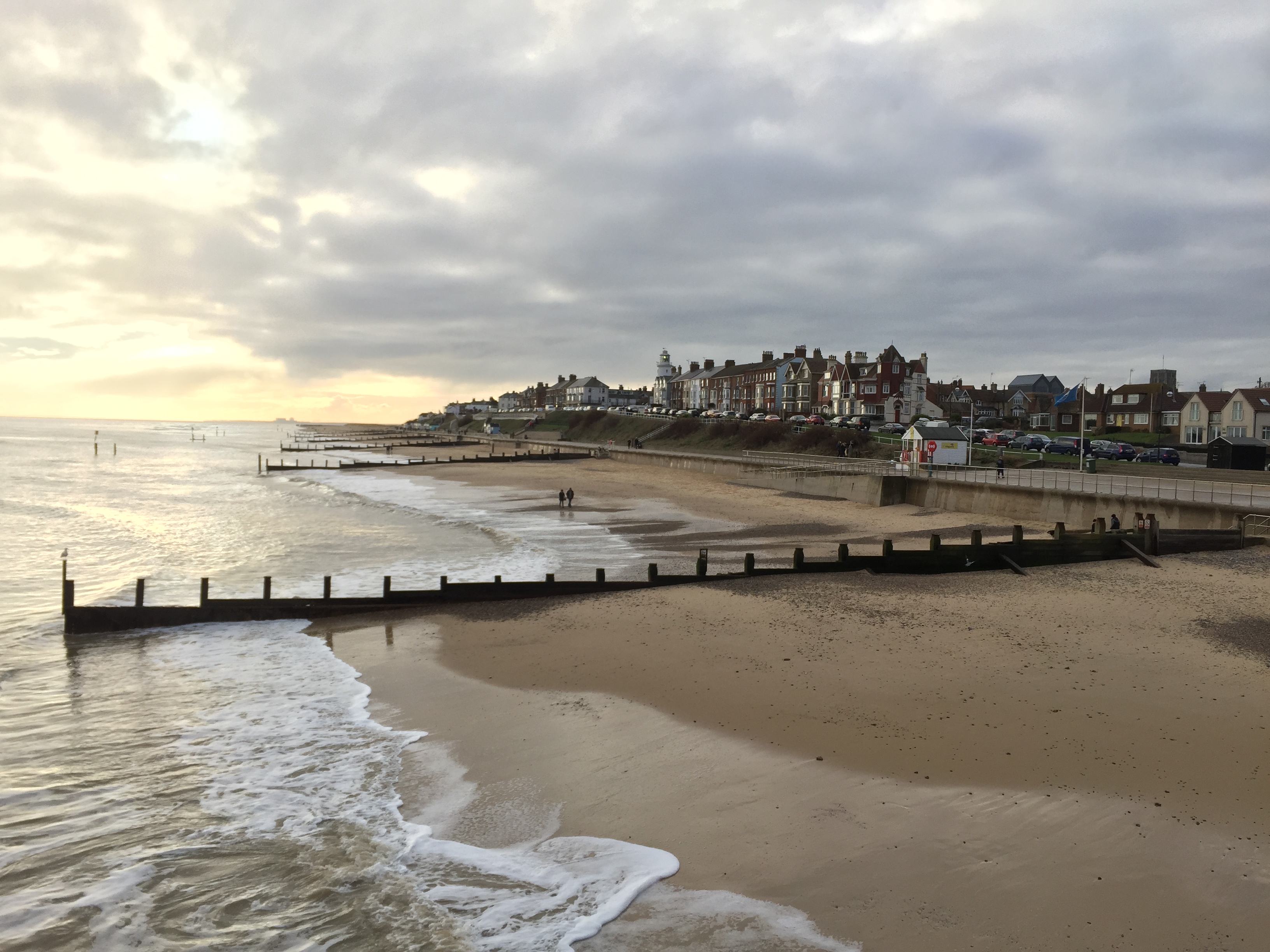
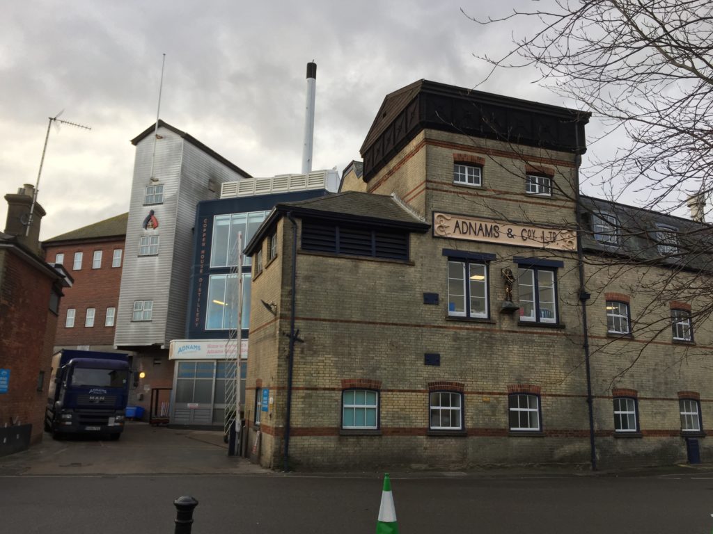
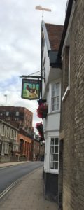
After taking two trains and a bus I arrived in Southwold in the late afternoon. It was a rainy day and the light was already fading. The extended period of darkness had an upside: I could thoroughly enjoy the lighthouse in action. It is more widely known through beer and the movie Yesterday, in which a temporary global power outage coincides with everyone forgetting about the existence of the Beatles. There is one exception: the Lowestoft-based protagonist of the film still remembers their music, which comes in handy since he is a so-far unsuccessful songwriter. He is hit by a bus during the power outage, and in this scene the Southwold lighthouse is shown as the electricity comes back on.

After walking along the beach in the dark for a while I started to look into dinner. Since this was the seaside fish and chips seemed the most sensible option. I got some and went to a pub to eat them with a drink. As it happened the only other guests at my hotel sat at an adjacent table, and they soon struck up a conversation. They were a couple from Bedford who shared my surname – which had led to confusion while checking in – and also knew Cambridge well. Eventually the question of what the best Cambridge pub is was brought up. This led to two other people joining the discussion, who were partly based in Cambridge and partly in Southwold. They had come to the pub to celebrate a major victory. After a protracted dispute that apparently lasted several years, one of them had finally been granted planning permission to build a greenhouse on the roof of his house.

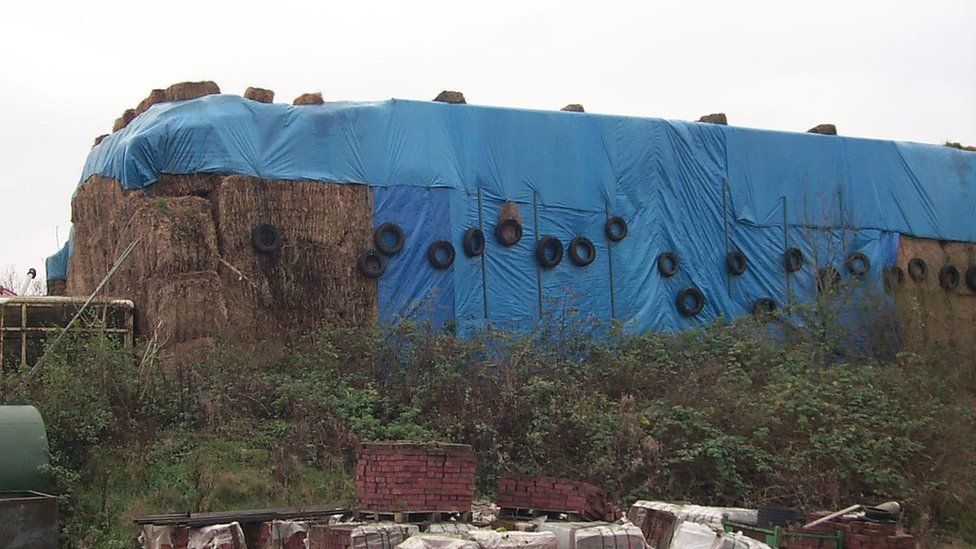
Planning permission is a serious matter that can cause much frustration. A striking example is that of Fidler’s Castle. In the early 2000s, the farmer Robert Fidler wanted to build a Castle-like house on his land in Surrey, but was denied planning permission since the farm was on protected Greenbelt land. He tried to get around this obstacle by exploiting a loophole in the regulations. If a structure is built without planning permission and the local authority doesn’t object within four years, it is allowed to stay. Fidler thus built his castle and surrounded it with large haystacks so no one could see it. The haystacks were then removed after four years. But the local authorities were not impressed by Fidler’s creativity. They argued that hiding the castle made the four year period invalid. After a long legal dispute Fidler had to give in and the castle was demolished.

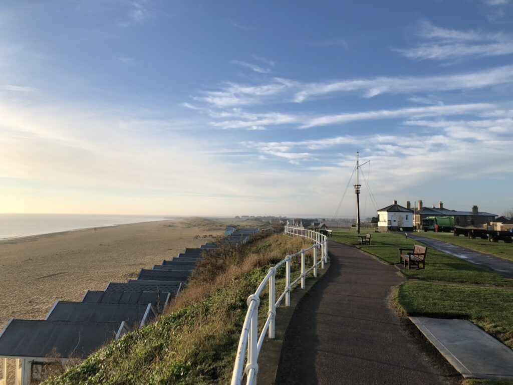
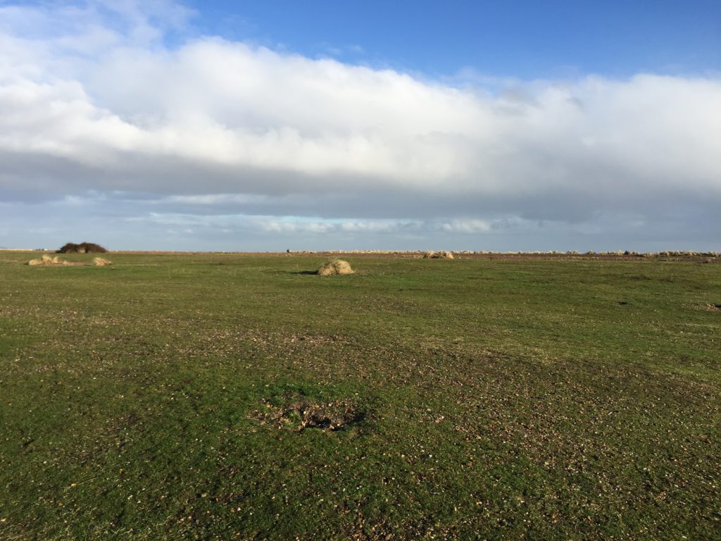
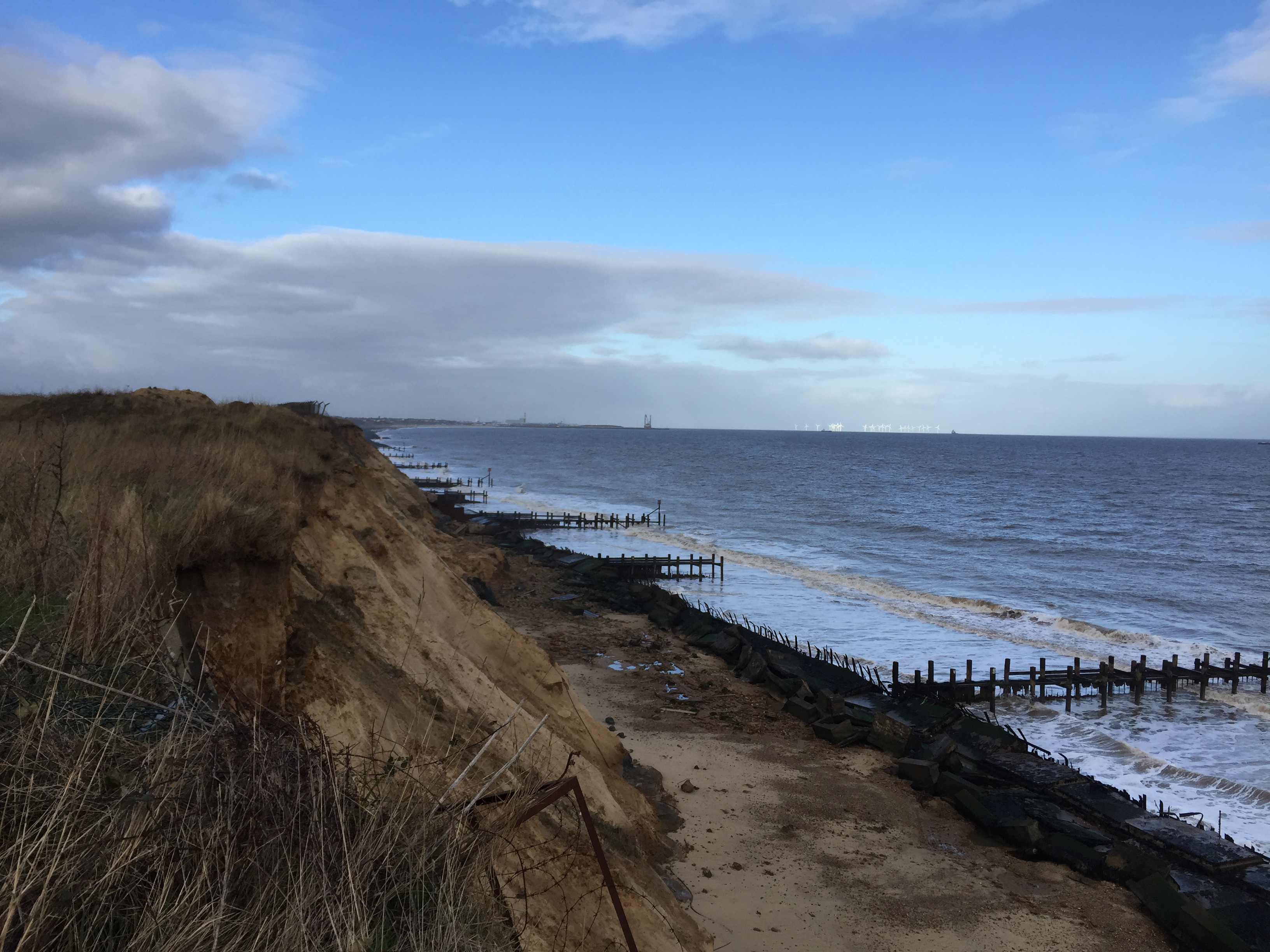
I had been lucky in selecting the date for the walk. The next day the weather had turned around and it was bright and sunny.

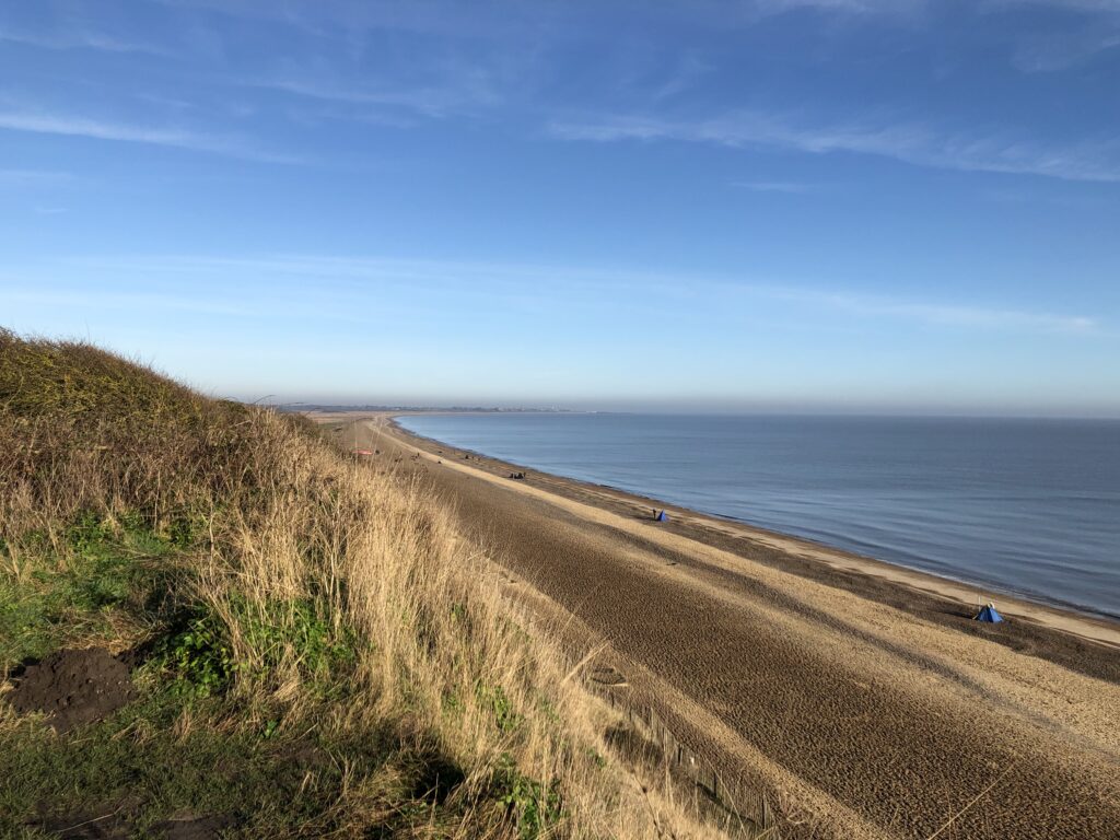
Like for many other people, my major source of inspiration for walking the Suffolk Coast had been W. G. Sebald’s The Rings of Saturn. In the book the walk is quite a gloomy affair. Robert Macfarlane, in the documentary Patience (After Sebald), reports that on his own attempt to retrace Sebald’s steps the weather was really nice as well. Consequently the experience was very different from that described in The Rings of Saturn. Too much sun is a good problem to have though, especially in January, and I therefore have no complaints.

I only recently learned that the cultural theorist Mark Fisher also wrote a number of pieces on East Anglia. An especially interesting one is this rare show of dissent against unreflective Sebald-fandom. One of Fisher’s criticism is that Sebald is insufficiently receptive to the Suffolk landscape, in the sense that he merely projects his own concerns into it and could have written the same book about any other area. Another criticism is that Sebald doesn’t engage with previous attempts to make literary sense of East Anglia. One key example of this omission are the stories of M. R. James.

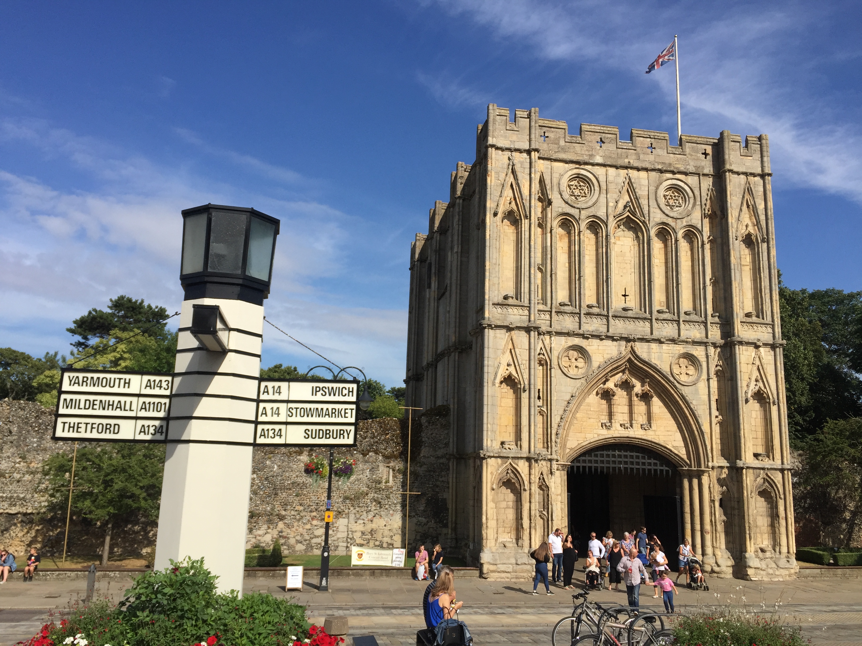
James was a medievalist at King’s College, Cambridge, who also wrote ghost stories. Many of them feature somewhat absent-minded academics, and two of the most well-known ones – Oh, Whistle, and I’ll Come to You, My Lad and A Warning to the Curious – are set in Suffolk. I originally came across James’ stories when I went to Felixstowe for the first time, because it is the setting of Oh, Whistle. (Coincidentally, on a more recent visit, I saw one of the people from the pub in Southwold striding along the seafront). A Warning takes place in Aldeburgh, the destination of my current walk.

The protagonist of Oh, Whistle is a professor called Parkins, who, while on holiday, finds a whistle with a mysterious inscription. After blowing the whistle twice he starts to have disturbing dreams and feels like he is being followed. Things only get worse as time passes. One night he wakes up and sees the sheets of the second bed in his room moving around on their own. He is saved, so one can assume, by a concerned friend who enters the room. In the end the whistle is thrown into the sea.

The BBC adapted this story, as well as A Warning, for television. In the TV version Parkins’ character is strikingly different from the story. James describers him as a young and confident professor of “Ontography”. In the adaption he is an older and extremely awkward professor of philosophy. Fisher’s last book, The Weird and the Eerie, contains an illuminating essay in which he calls the TV-Parkins  a ”crumbling logical positivist”, who, “in the manner of A.J. Ayer, is wont to dismiss the concept of life after death as devoid of meaning”. There is something to this. During breakfast, another guest asks Parkins whether he believes in ghosts. Instead of giving a straight answer, Parkins worries that we do not really understand what believing in ghosts means, since it is not clear how their existence could be confirmed or disconfirmed. In this respect ghosts compares unfavourably with Australia.

A Whistle was adapted and directed by Jonathan Miller, who, as can also be seen from the Beyond the Fringe “Oxbridge Philosophy” sketch, was clearly well acquainted with the British philosophical scene of the 1950s. Parkins uses jargon such as “grammatical appearance of a real question”, “logical difference of usage”, and keeps asking whether “we would want to say” this or that in various imagined scenarios. In this respect Parkins’ breakfast thoughts on ghosts are more in line with the stereotypes associated with the ordinary language philosophers in the wake of Wittgenstein, however, rather than the logical positivists. The more salient comparison is J. L. Austin, not Ayer.

The latter was not as dismissive towards life after death as Fisher’s quote suggests anyway. Already in the early Language, Truth, and Logic, Ayer grants that there are ways to understand this idea on which the hypothesis that life continues after death is perfectly meaningful, even though probably false. And he revisited this topic very late in life, in response to a near-death experience caused by a piece of smoked salmon that “went down the wrong way“. For Ayer the biggest problem with ghosts concerns personal identity. He thinks that one cannot explain the identity of people over time without recourse to their bodies. Since ghosts have none, no such explanation is available. Does this consideration, if sound, show that ghosts are impossible? It seems so, provided that it is essential for a ghost to have once been a person. Creatures that interact with the world despite having no body, on the other hand, are not immediately excluded.

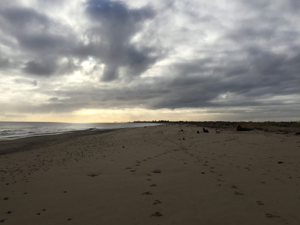
I arrived in Aldeburgh and watched the sun set. Since it was still the seaside fish and chips again seemed a sensible option for dinner, and I went to another pub to have them. This evening was more quiet than the last.

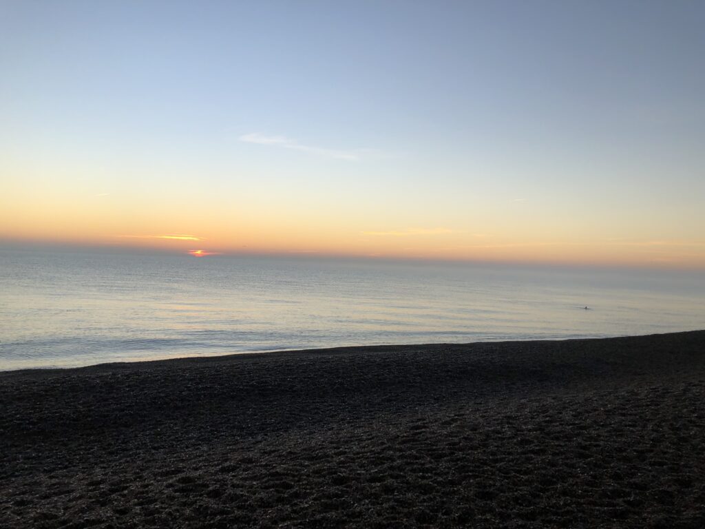
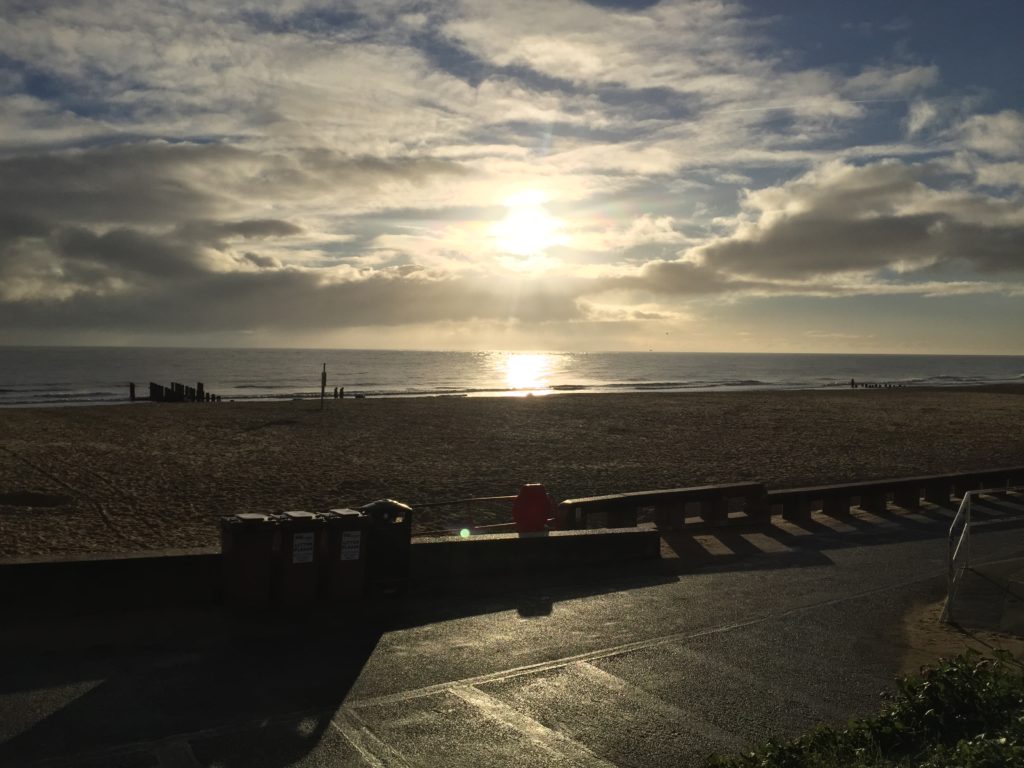
The east coast is the perfect place to watch the sun rise, and so I got up early to do this before breakfast. As I was watching an old lady cycled past me, stopped not too far away, and went for a swim in the sea. Within the next half hour three more old ladies came along and joined her, plus an additional one to watch the proceedings. The latter told me that they do this every day, and asked me whether I would join. I politely declined, citing my lack of bathing trousers.

Suffolk Coast (Part 2)

As Lowestoft is Britain’s easternmost place, it is where the sun first hits the island, and luckily the second day of my coastal walk indeed started out sunny.

After a substantial breakfast at the B&B where I had stayed the night I started to head south. In principle the stretch between Lowestoft and Southwold is part of the Suffolk Coast Path, however the official route is for the most part not actually along the coast, but has been diverted inland due to coastal erosion. It is however possible to walk along the beach, provided that the tide is low, and this is what I was planning to do.

Soon after starting the walk the sun was joined by scattered showers, which were fortunately not too annoying, and the combination gave rise to nice rainbows while I left Lowestoft behind.

This walk is clearly more popular than the one from Yarmouth, as I came across many other walkers on the way. By way of a greeting, a man who was walking his dogs pointed out that there had been lot of erosion recently, and indeed I saw even more debris than the day before, including a whole bunker:

After walking on the beach for a while I spotted a path up the cliffs, and went up in the hope that I would be able to walk along there for a change and get a good view. There was indeed a path which led past some fields, but unfortunately it suddenly ended in a steep muddy decline towards the beach: 

As I strongly dislike doubling back I cautiously tried to climb down, but quickly gave up this attempt as the ground was so slippery – it had started to rain more by then – that I would almost certainly have ended up falling into the mud. Grudgingly I therefore walked back to where I had come from and continued the journey along the beach.

Not much later I reached Kessingland, which is roughly the midpoint of the walk and whose beach is very wide and features stones and heathland:

This was one of the most enjoyable parts of the walk, since the unusual landscape made the whole area feel remote and mysterious. I recently watched an episode of The Avengers in which strange events take place on Holkham Beach in Norfolk, and Kessingland Beach would certainly also be suitable to create such an atmosphere.

Eventually I reached the narrow stretch of the beach which is only passable at low tide, and sometimes not even then, as there are a couple of lakes (called broads) inland that are very close to the beach and apparently sometimes breach when there is a lot of rain. For me everything went smoothly however, and I could soon see Southwold in the distance.

I continued the walk along the beach without attempting to go up the cliffs until I had nearly reached Southwold and could go no further, as the way was blocked by concrete structures:

As I did not want to double back again I decided to climb over the concrete blocks to the concrete promenade in the hope that there would be a way up somewhere further down. This was a questionable idea, as the promenade was so slippery that I was genuinely afraid to fall at any moment even though walking with extreme care. I did eventually make it to the stairs up to the cliff without any accident, but would not recommend this experiment – the warning signs on the other hand are certainly appropriate.

I thus had made it to Southwold, which, as expected, and as can be seen in the header image, is very quaint and pretty. (Michael Palin’s entertaining East of Ipswich was shot here.) It is also home to the Adnams brewery whose beers I like (the second brewery featured on this blog), and I visited their brewery store. Among other things they sold Adnams bottle openers and I considered buying one but for some reasons didn’t – a bad decision I have regretted many times since.

After strolling through Southwold, there was the question of what to do next. The original plan had been to stay another night in Lowestoft, and possibly to do some more light walking the next day. In making this plan I had, however, vastly overestimated how long it would take me to finish the walk, as I had imagined the sun to set when arriving in Southwold, but in fact it was only 2:30pm when had done all I wanted to do for the day. After some back and forth I therefore decided to cancel the third day, and go back to Cambridge instead, which was easily possible.

Hopefully this series on the Suffolk coast will continue: The next stretch to Aldeburgh is longer than the way from Lowestoft, but since my walking pace is apparently quite fast this shouldn’t be a problem. Accommodation is the more serious issue, since there are few affordable options in that part of the world. I recently found out that there are a couple of buses that make it in principle possible to get from Cambridge to Southwold, walk to Aldeburgh and then get back to Cambridge again in just one day – provided one starts the journey at an ungodly early hour. A third part might thus be forthcoming in the not too distant future.

Suffolk Coast (Part 1)

I started the new year by going on coastal walk from Great Yarmouth to Southwold with a stay in Lowestoft. This was partly inspired by W. G. Sebald’s famous The Rings of Saturn, in which the narrator follows the Suffolk Coast Path. In a film based on the book, Robert MacFarlane says that one should not walk this route merely because one likes Sebald, but luckily this did not apply to me since I am of course interested in walking through East Anglia anyway.

Sebald starts in Somerleyton, home of the inventor of the hovercraft. I didn’t want to wait to see the seaside though, and so decided to begin my walk in Great Yarmouth and hence in Norfolk. In order to get the most out of the daylight I took an early train from Cambridge, but unfortunately missed the connecting train in Norwich by one minute and had to wait there for a whole hour. This proved to be a benefit rather than a nuisance however, since the next train to Yarmouth ended up being loco-hauled by class 37s:

These and their memorable sound already made an appearance in the post about the walk to Great Yarmouth; but I had never actually used this kind of train before and was hence very pleased.

After arriving in Yarmouth I walked along a road south towards Gorleston-on-Sea. The weather was quite pleasant, and I soon reached the end of Yarmouth and the beginning of Gorleston:

I walked along the promenade, at the end of which I joined the Norfolk Coastal Path.

Pretty soon the path disappeared, however, because the cliffs and dunes along the beach have been eaten up by erosion. I thus had to continue walking along the beach, on which one can find debris of fences that used to stand at the edge of the cliffs:

At some point it was possible to leave the beach and continue on top of the cliffs, from where the view was much better. There was no shortage of uninviting notices, however: The concrete promenade along the beach is no longer accessible, and soon the cliff path itself ended with an assortment of warning signs:

While in Norfolk the coastal path is signposted well, but after I had crossed the border to Suffolk no more sign were to be seen. According to my map the footpath did nevertheless continue all the way to Lowestoft, but I had some trouble locating it in the real world, and ended up in a muddy field next to a rifle range.

Eventually I arrived at the edge of a Caravan park. There was a path along the cliffs which I assumed would be the public footpath, however strangely enough it was fenced off from all sides and could not be used. Since there was no other way out I had to walk through the caravan park instead, staying as far away from the caravans as possible. After that I went through some more fields until I reached the village of Corton, where for the first time since entering Suffolk there was a public footpath sign. Unfortunately, however, what this sign said was that the footpath along the coast had been lost due to coastal erosion.

Subsequent investigations showed that the clifftop path I had seen on my map was destroyed in the winter of 2012. (Unlike other counties, Suffolk doesn’t seem to have a list of closed and diverted footpaths online, so it was difficult to predict these complications). One can thus not recommend walking the route I had taken, because the way through the caravan park is on private land. This is very unfortunate, since as far as I had been able to make out is is also not possible to walk this stretch on the beach either.

After passing through Corton Lowestoft was now close. I had never been there before and was very curious, since it is Britain’s most easterly town and home to the easternmost point of the country. As usual for the seaside, the border between town and country was marked by caravans:

This is what Ness Point – Britain’s easternmost point –  looks like:

It must be admitted that it is probably not the most spectacular extreme point, a view which is also reflected in a number of harsh reviews of the location on Google Maps. The reason for this is presumably that Ness Point is located in quite an industrial part of Lowestoft, as is indicated by the rather prosaic street names nearby:

I was pleased to find that Lowestoft has more scenic parts as well, especially the promenade south of the river. Here there are rows and rows of traditional British hotels and bed and breakfasts, in one of which I stayed the night – as the only guest, in fact, since January is not exactly high season.

My stay there was very pleasant, and the next day I was ready to continue my coastal walk to Southwold, which will be the topic of the second part.

Devil’s Dyke

In October C. visited me in Cambridge, and naturally we wanted to see some of the highlights of the region. After considering different options we decided to walk Devil’s Dyke – a “linear earthen barrier” in the east of Cambridgeshire, on the border to Suffolk. (There is another Devil’s Dyke in Sussex).

Devil’s Dyke is notable since it is larger than the other dykes found in Cambridgeshire, and it is already referred to in the Anglo-Saxon Chronicle. Despite its fame, I was concerned whether C. would actually enjoy the walk, since she is generally less enthusiastic about flat landscapes than I am, and furthermore the pictures on Wikipedia made the dyke look pretty boring. Luckily these worries proved to be unwarranted.

We went to the station and took the train to Dullingham. The train was packed with elaborately dressed people, who presumably were on their way to Newmarket for the horse racing. We also regretted not having chosen different clothes, since we had prepared for a fresh autumn day whereas in fact the day turned out to be unusually warm for this time of year.

From Dullingham we walked to the village of Stetchworth, through a street called Tea Kettle Lane:

From there we followed a footpath that brought us to Devil’s Dyke. The actual start of the dyke is about a mile further south in Woodditton, but we had to live without seeing the beginning. As the name Woodditton suggests, this part of the dyke is within a woodland, which I hadn’t expected and was a welcome surprise:

We headed north along the dyke, which is cut by a couple of roads we had to cross. At the end of the part of the dyke which is surrounded by woodland it meets the railway line:

From here on the dyke becomes chalky, and sheep of various colours can be found grazing in the ditch next to it:

A short while later the dyke goes past the Newmarket Racecourse (and for a short stretch the footpath is actually on the racecourse). I found this particularly exciting, since on my first visit to Newmarket I hadn’t made it up to here. This clearly was a racing day, and no doubt some of the people we saw at Cambridge station earlier were now in the enclosure on the other side of the racecourse.

We eventually saw some horses running in the distance and heard them being greeted by the audience. On the dyke there were also several people who had brought binoculars to see some of the race without paying entrance fees.

We continued to head north, and now the landscape became notably flatter.

We also came across a pretty useless gate:

Near the end of our walk, we crossed what the map identified as a disused railway line. I didn’t know what line this used to be, and investigations later revealed that it was the Cambridge to Mildenhall railway (of which I had never heard before). It was closed in 1965; there is a lovely video of the line in action here, which also helpfully points out that building railways in East Anglia was easy since it could proceed “unhindered by geographical obstacles, such as hills and valleys”.

We eventually reached the village of Reach, which marks the beginning of the Fens, and the end of our walk. The local pub is aptly called Dyke’s End, and we had a drink there while waiting for the bus back to Cambridge. Walking Devil’s Dyke had not been boring at all.

On a Winter’s Day

December can be a grim month. The many hours of darkness between sunset at 4pm and sunrise at 8am can wear down the best of us, and me in particular. What is one to do then on a cold, drizzly Saturday in winter to lift one’s spirits? Visit a railway museum, of course. I don’t remember how I first heard about the East Anglian Railway Museum, but it cannot have been long since I moved to Cambridge in October. I thus decided to seize the day and make my way to the village of Wakes Colne, where the museum is located.

Fortunately, one can reach it by train. It is not that convenient, however, and we will soon learn why. Although Wakes Colne is only about 40 miles away from Cambridge, it takes nearly two and a half hours, and four different trains, to reach it. I didn’t mind this though, since I was new to the region and thus very keen to use as many different lines as possible. After changing at Ipswich and Colchester, I reached Marks Tey, where the branch line to Sudbury starts and terminates. This is an especially cute line, since there is a single carriage train that goes back and forth between Marks Tey and Sudbury, via Chappel and Wakes Colne and Bures (the latter has only very recently, after I visited, been made a request stop). The very last train of each day goes all the way back to Colchester, in order to go to sleep in the depot.

Just for the sake of completing this line, I didn’t alight at Chappel and Wakes Colne first, but stayed on the train until Sudbury and then got out when the train was on its way back to Marks Tey. One notable feature of this line is the Chappel Viaduct, of which stunning pictures can be found on Twitter. One less good feature of this viaduct, however, is that it is on a completely straight stretch of track, so that it is not possible to observe its beauty while on the train. In this respect, the famous Glenfinnan Viaduct in the Scottish Highlands is much preferable, since it is on a curve:

Be that as it may, after all this travelling I had finally arrived at the actual museum, and could enjoy the sight of even more trains:

The museum is not big, but has everything one would expect: Locomotives and carriages, sheds and and a signal box, model trains, lots of signs and other railway memorabilia. At the far end of the premises are some unspectacular looking buildings, and a sign informs me that they used to be army barracks, which were donated to the museum some years back. Here a small exhibition about the history of railways in East Anglia is housed, and this brings us back to the topic of how arduous the journey from Cambridge to Chappel and Wakes Colne is nowadays.

As it turns out, there used to be a direct line, the so-called Stour Valley railway. Here are the former stations from Sudbury onwards:

Sadly, this stretch was closed in 1967, and since then only the short branch line from Sudbury to Marks Tey remains. Remarkably, someone made a film of the last train from Cambridge to Haverhill, which in the meantime found its way to YouTube:

It is regrettable for many reasons that this line is no more. For once, it would have been much easier for me to get to the museum if it were still in operation. Furthermore, it would make visiting the village of Linton more convenient, which is famously the home of Linton Travel Tavern – equidistant between London and Norwich!

I started to mourn the closure of the Stour Valley railway even more when, a couple of month after this trip, I learned about the TV series Lovejoywhich portrays the adventures of an East Anglian antique dealer. Many episodes of this show, which apparently “put East Anglia on the map”, are set and were filmed in and around the attractive-looking villages of Long Melford and Lavenham. This naturally made me curious and I would like to explore this area, but nowadays it is quite difficult to get there by public transport, so I haven’t been able to make the trip yet. (Now that I have a bike this has become more feasible though).

Having wandered through the ground and the exhibition of the museum to my satisfaction,  I went to have coffee and cake, which can be consumed in a comfortable old railway carriage:

Pleased with the trip, I then went to the platform to wait for the first of many trains that would bring me back to Cambridge.  One surprising fact that I only learned about after I returned is that the britpop band Blur – which I really like –  played their first concert in 1989 in the goods shed of the Railway Museum! There is even a plaque to remember this important event, which I failed to spot on my visit. (They also came back for a concert in 2009). One should keep in mind that Blur are from nearby Colchester though, so this coincidence is not quite as strange as it may seem at first.

Beer and Horses

I recently bought a bicycle. As such this is quite unremarkable, since nearly everyone in Cambridge has a bike. In my own case it was unusual though, since for months I had been saying that I don’t need or want a bike, yet a few weeks ago I suddenly woke up with the urge to buy one myself. Some days later I actually acted on this new wish, which doesn’t usually happen either. I proceeded pretty much like the character played by Robert Webb in this sketch: I went to a bike shop, named a price range, and just bought the first bike I was shown. It seems to be working well, the wheels, gears and the chain all do their job.

Having got the bike I naturally wanted to go on a proper cycling trip. I was unsure, however, how long a long cycling trip should be, so I asked C. for advice. She said that it should be at least 30-40 kilometres, and I planned accordingly. I then decided to take the National Cycle Route 51 from Cambridge to Bury St Edmunds, via Newmarket. With somewhat more than 30 miles this was the required length, and I was also keen to visit both Newmarket and Bury St Edmunds, which I hadn’t been to before. A particularly interesting attraction of Bury is the Pillar of Salt, Britain’s first internally illuminated road sign, which can be seen in the header image. (Unfortunately, I only saw it during the day, when there was no illumination.)

The cycling route is straightforward to follow, and until Newmarket the ride was pretty easy since the terrain is very flat. There were plenty of small quaint villages on the way, with names such as Swaffham Bulbeck and Swaffham Prior (I really like it when villages come in pairs). In the latter I saw a strange building which struck me as quite mysterious and creepy. It reminded me of the black tower in this short film, but luckily it did not haunt me in the end.

Eventually I reached Newmarket, the town of horses. It actually smells of horses, apart from Exning Road, where when I cycled down into the town everybody seemed to use their Saturday to do laundry. I parked my bike in the centre and walked around a bit, with the aim of eventually eating some lunch. I wanted nothing more than a sandwich, but it was surprisingly hard to find a standard supermarket in the town centre – there was a big Marks & Spencer, which however was closing down for good that very day, and so all the sandwiches were already gone!

In the end I found food, walked around the town some more (not to where the racecourses are though, so horses were only smelled but not seen), and then decided to continue to Bury. The terrain is much hillier from here on, starting with the Long Hill from which one has a good view of Newmarket.

I was not actually able to cycle up most of these hills, but had to get off and push the bike, which is arguably less impressive than cycling. Nevertheless, cycling down the other side of the respective hills is enjoyable. I took a short break in the village Moulton, which has a very nice stone bridge:

In general I found the Suffolk countryside very scenic, I should have taken more pictures but unfortunately didn’t. Finally I reached Bury St Edmunds, which smells of beer, due to the presence of the Greene King brewery. After visiting the aforementioned illuminated road sign and the nearby Abbey Ruins I had a look at the brewery. Unsurprisingly, there is a Greene King pub immediately opposite, which I would have expected to be just called Greene King (surely there must be one where Greene King is not merely the subtitle?).  In fact, however, the name of the Greene King pub closest to the Greene King brewery is Dog and Partridge:

Overall, I’d say that Bury St Edmunds is well worth visiting, and probably more interesting than Newmarket unless one is into horse racing. I was very satisfied with my first proper cycling trip, and, quite exhausted, took the train back to Cambridge.