The Wild Side of Norfolk

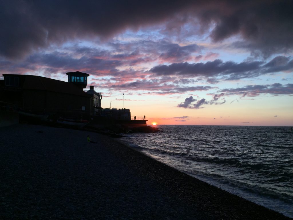
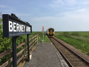
This entry concludes my three-part series on the Norfolk Coast Path, and I will describe the less popular section between Mundesley and Winterton-on-Sea. It is apt to describe this eastern route as the wild side of Norfolk for two reasons: first, the sea here is much rougher than in the quiet north of the county, and hence many coastal villages are threatened by erosion. Secondly, while in general the Norfolk coast is well served by public transport (especially compared to the Suffolk coast), there is virtually no bus running between Mundesley and Winterton-on-Sea (technically there are a few buses to Happisburgh and Sea Palling on weekdays, but not at times convenient for walkers). These 15 miles thus need to be walked in one go.

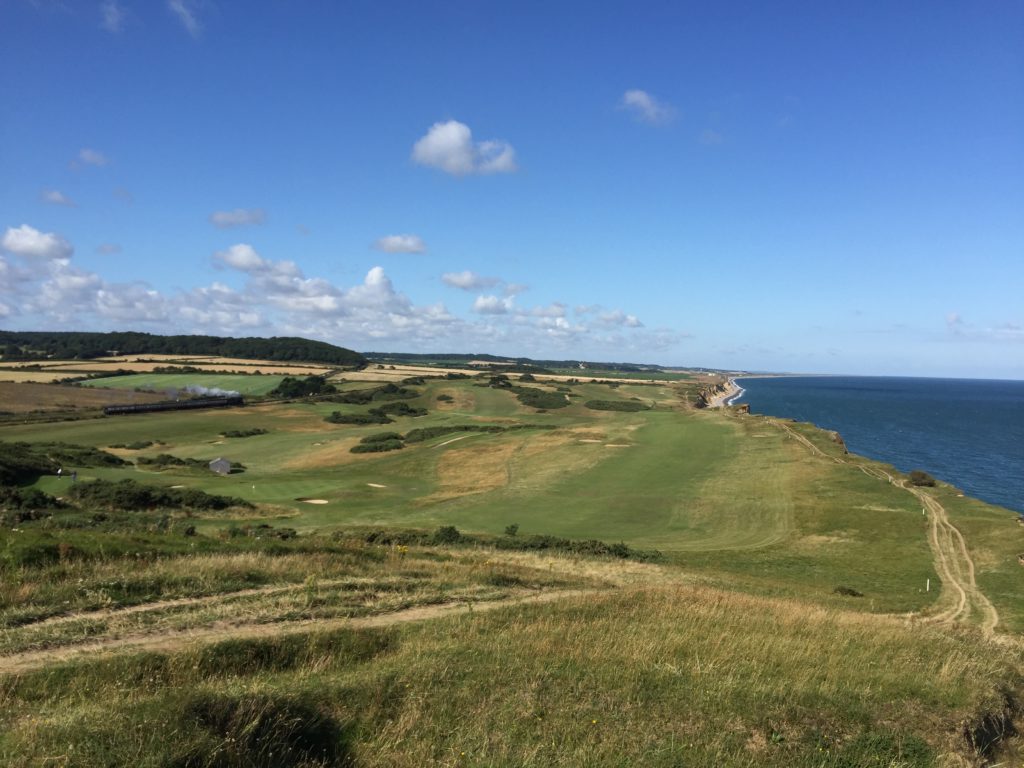
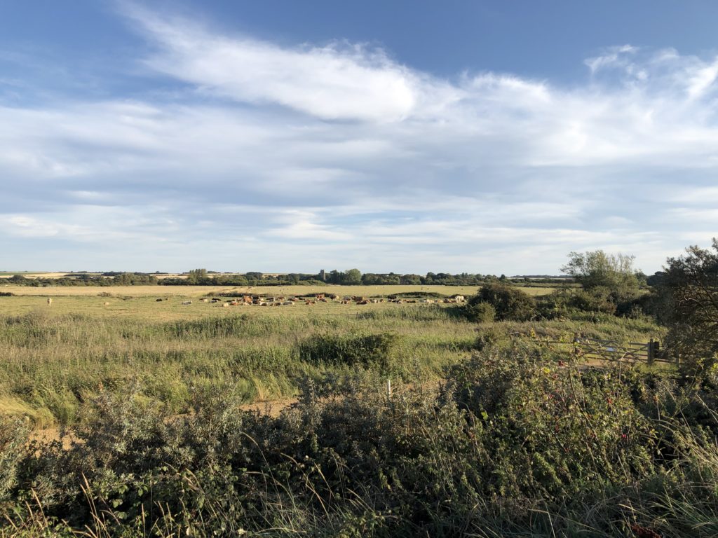
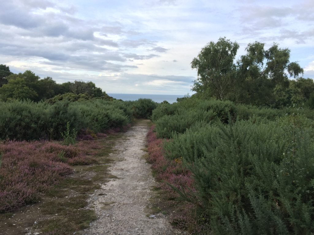
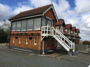
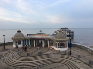
I took the train to North Walsham and made the very tight connection for the bus towards Mundesley. I had been there before in order to walk in the other direction to Cromer, which was very scenic:

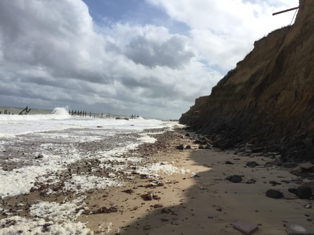
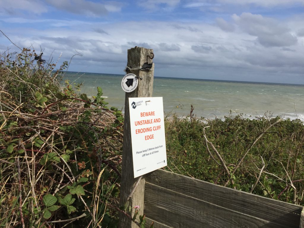
Since then several instances of coastal erosion have been reported in the news, however, so I am not sure whether the route I took then is still possible. At various points the path had been quite close to the edge of the cliffs.

I also anticipated issues with the Norfolk Coast Path east of Mundesley, since I had read about a diversion due to a novel and extensive sandscaping scheme. It seemed that the work on the beach around Bacton had already been completed, however, since I did not encounter any closed sections on the way.

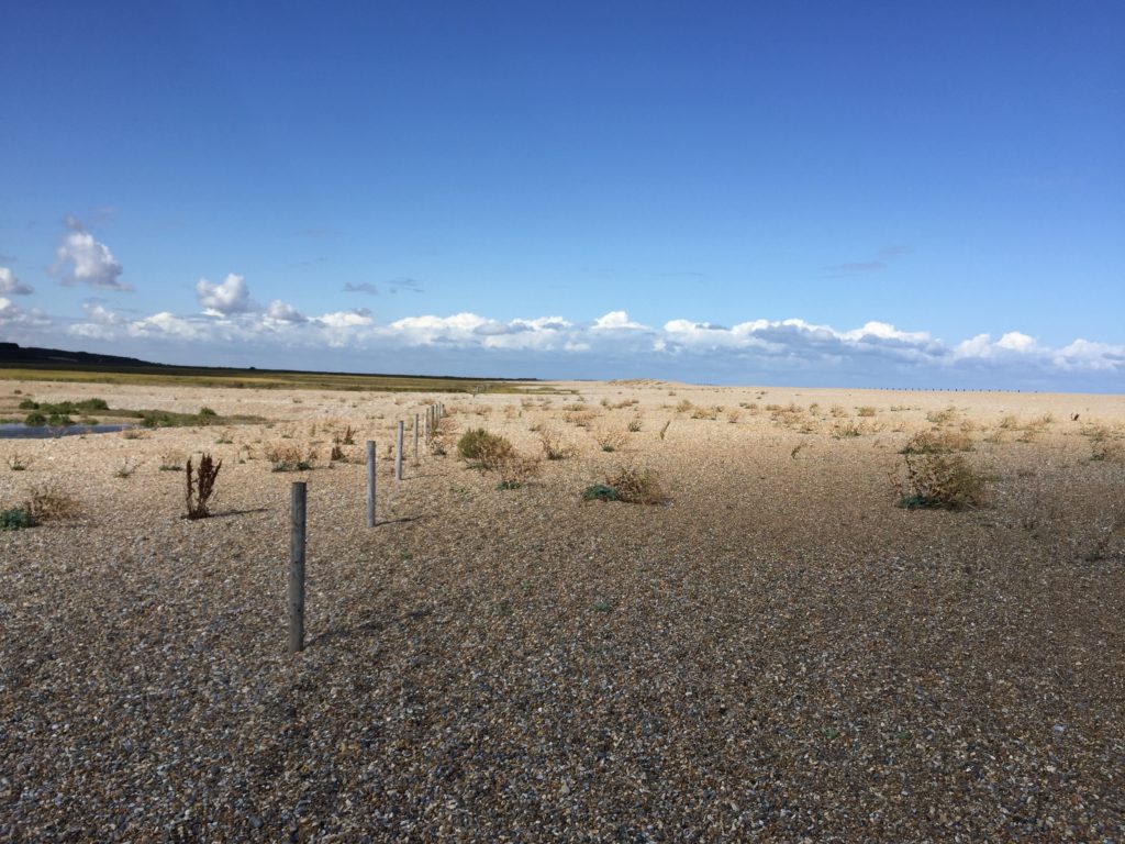
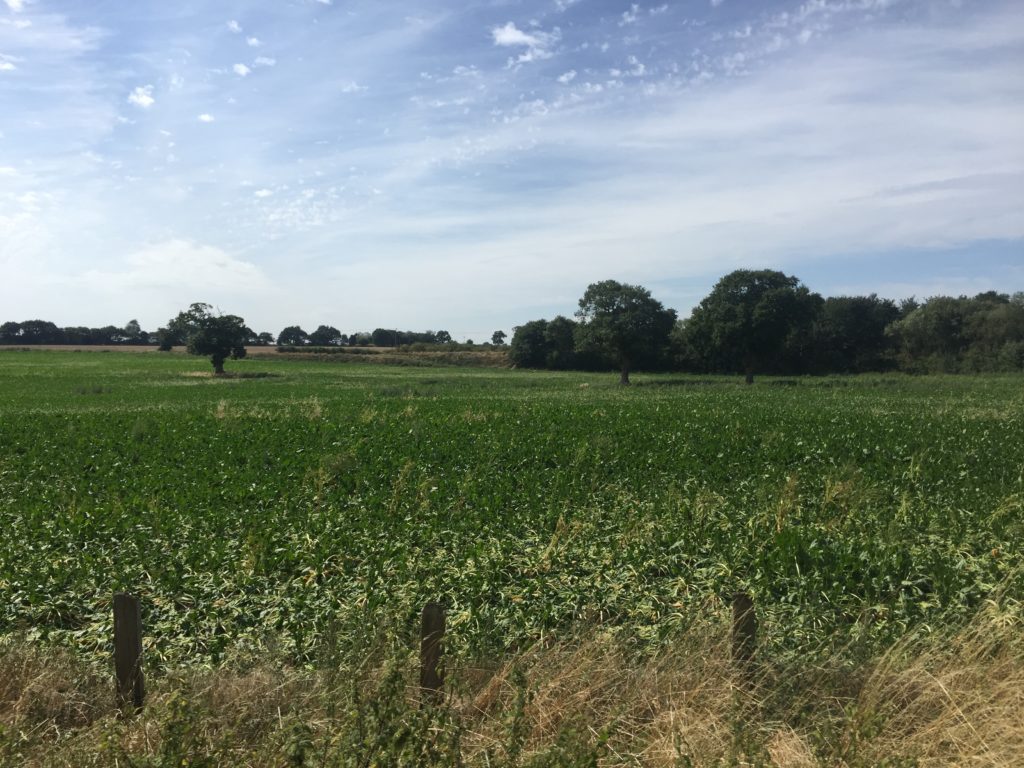
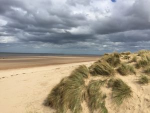
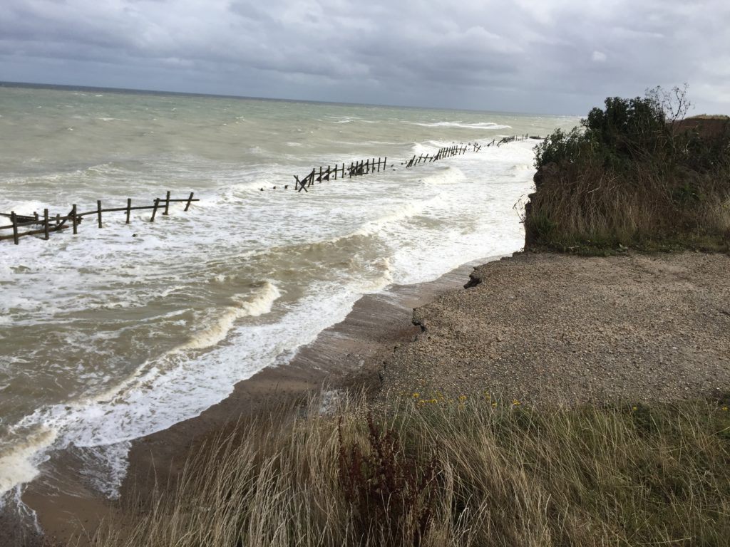
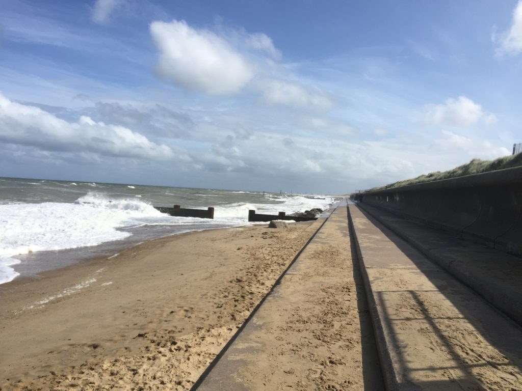
For the first few miles the path is on or right next to the beach, and I did not pay too much attention to the map. This proved to be a bad move, however, for I missed the spot where the coast path turns inland. Instead I continued to walk along the beach, which got narrower and narrower.

Eventually I could walk no further – the tide was also rising – and it dawned upon me that I must have made a mistake.

I checked the map carefully and indeed, I should be on top of the cliff instead of the beach. I felt unenthusiastic about walking back the last few miles, however, since walking on the sand was not that enjoyable. I thus seriously considered trying to climb the cliffs, but quickly abandoned this project on account of being dangerous and foolish.

There was thus no choice but to double back, and eventually I reached the official path at Ostend Gap.

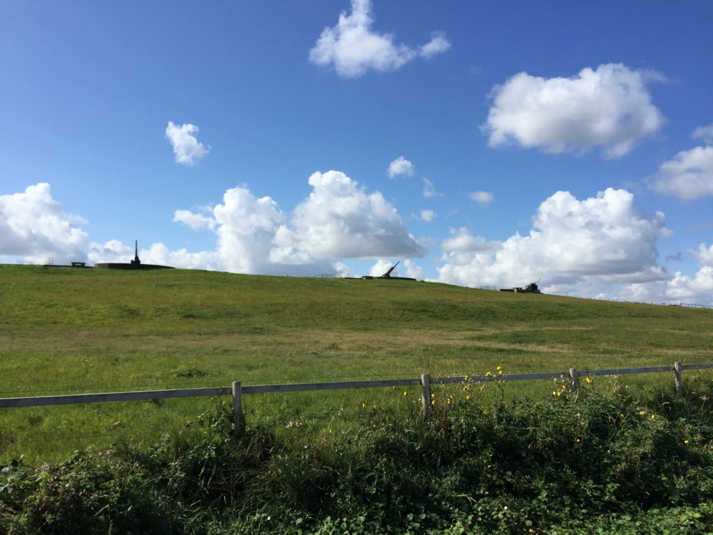
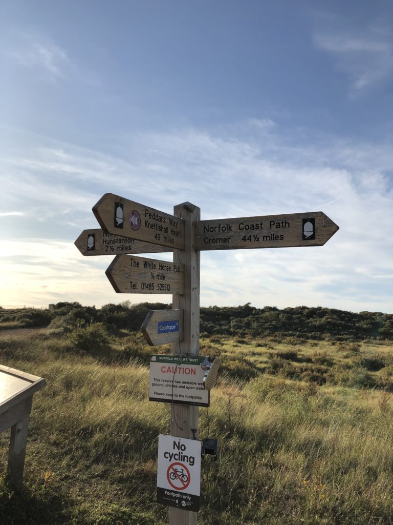
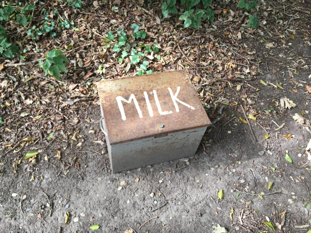
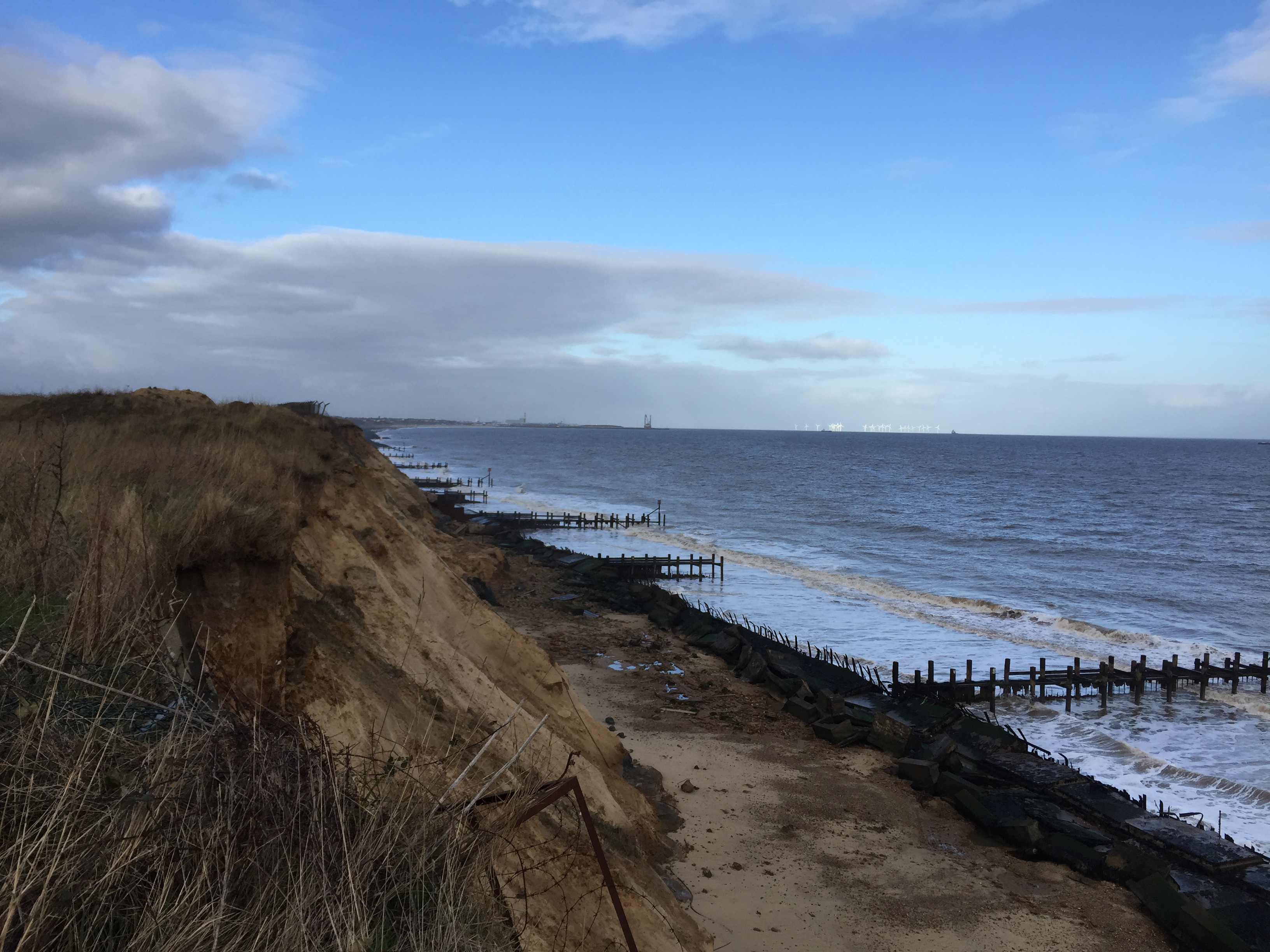
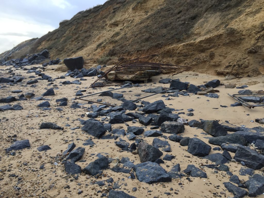
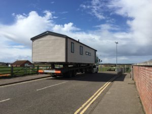
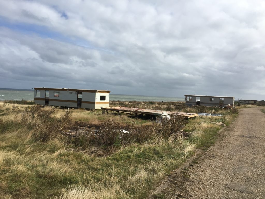
I really enjoyed this part of the walk: there were roads leading and signs pointing nowhere due to land being lost in coastal erosion. In addition, several abandoned caravans, together with high waves hitting the cliffs down below, created a unique atmosphere.

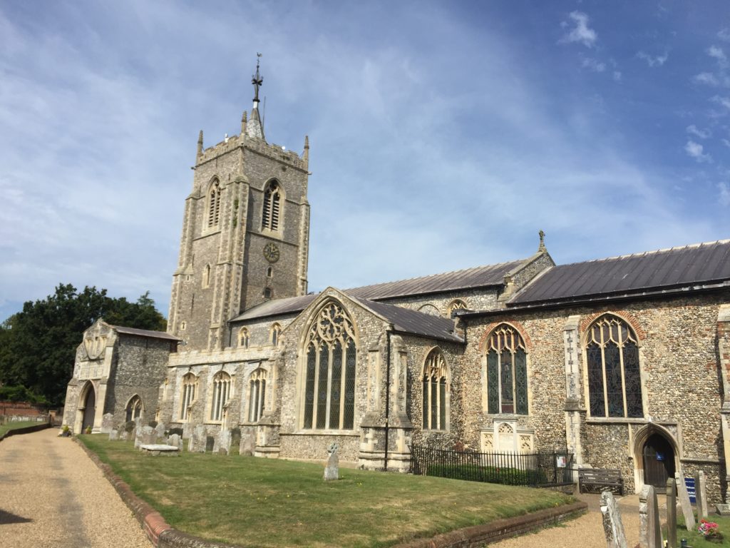
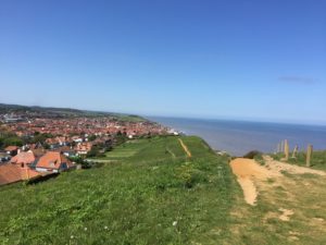
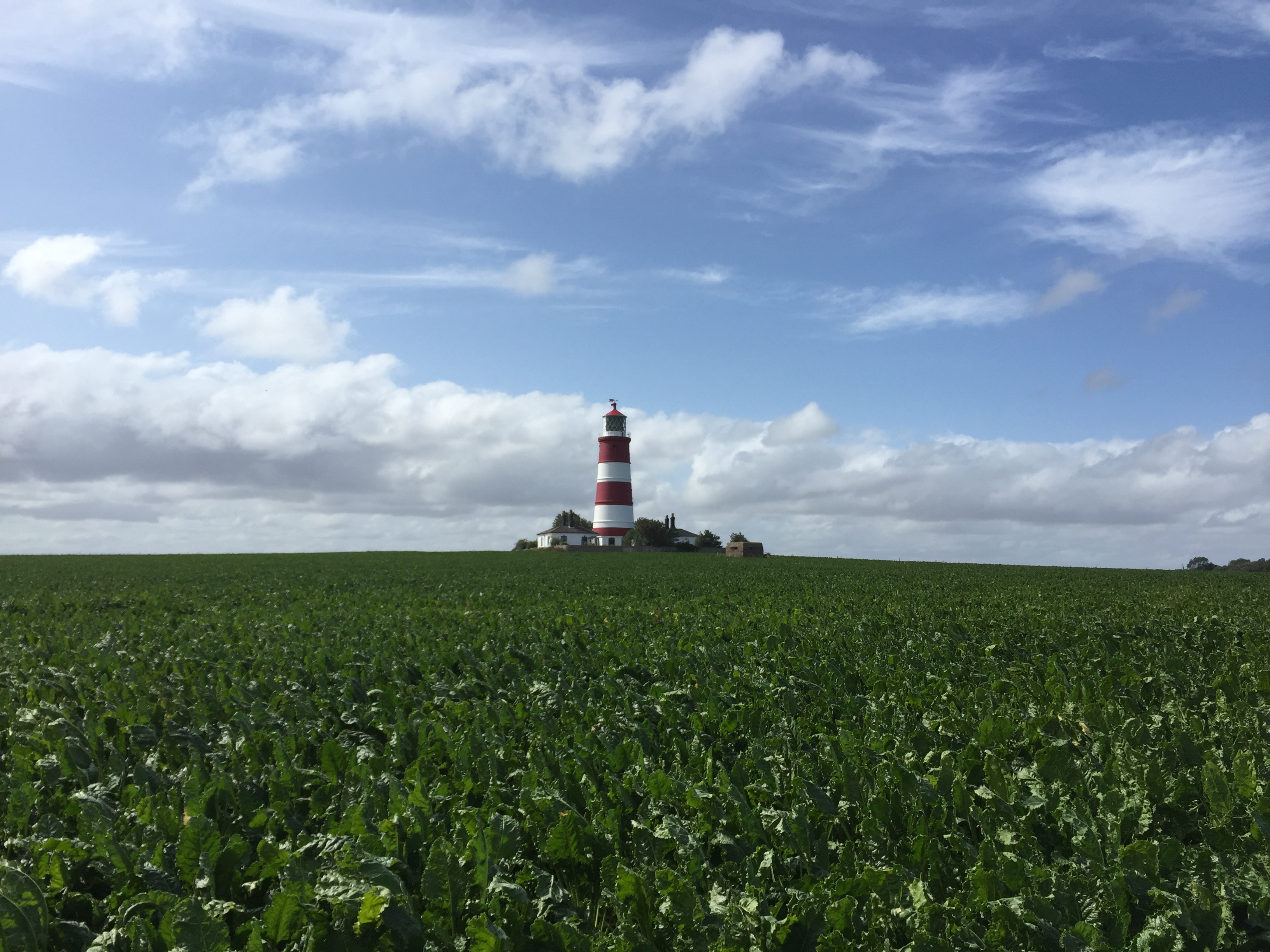
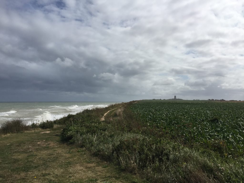
I then arrived in Happisburgh, which has a very nice lighthouse that can be seen in the header image. The pronunciation of the name of this village is surprising: Haze-bruh. Walking on the cliffs continued to be thrilling:

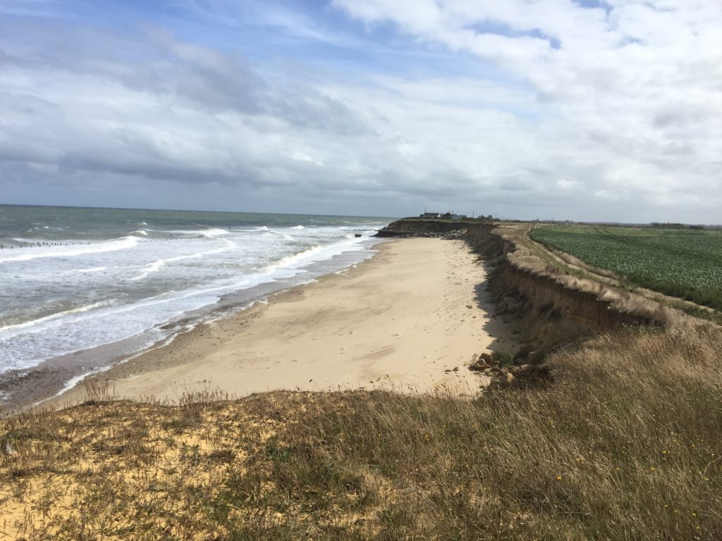
At some point the coast path rejoined the beach, however, which was worrying. The tide was at its peak now, and from where I was standing I could not make out whether walking on the beach might not lead to a dead-end as before.

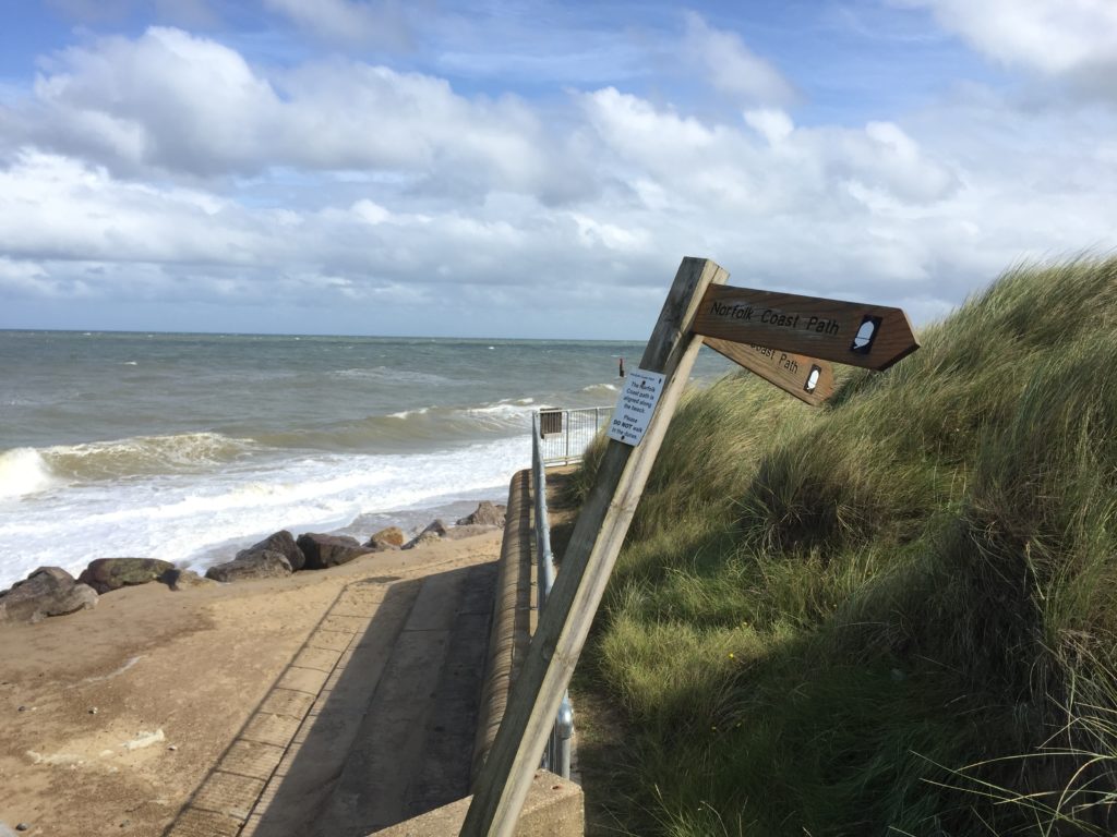
In light of the earlier experience I opted for the safe but slightly boring alternative inland route. In hindsight this might not have been necessary, as I saw some dog walkers who seemed to have made it on the beach route.

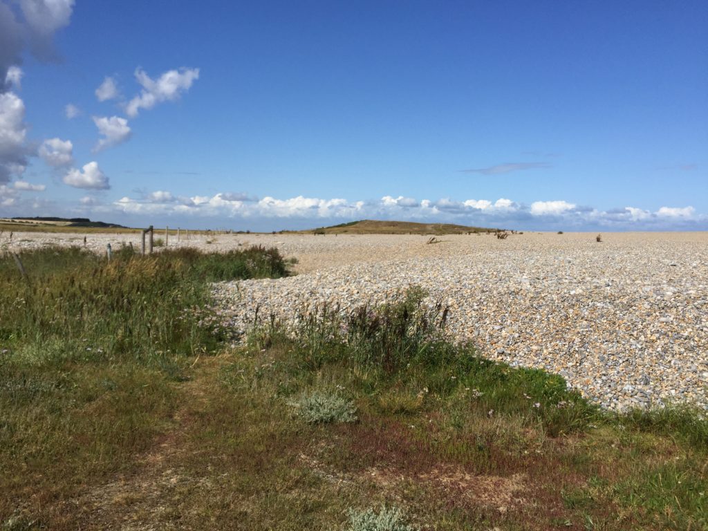
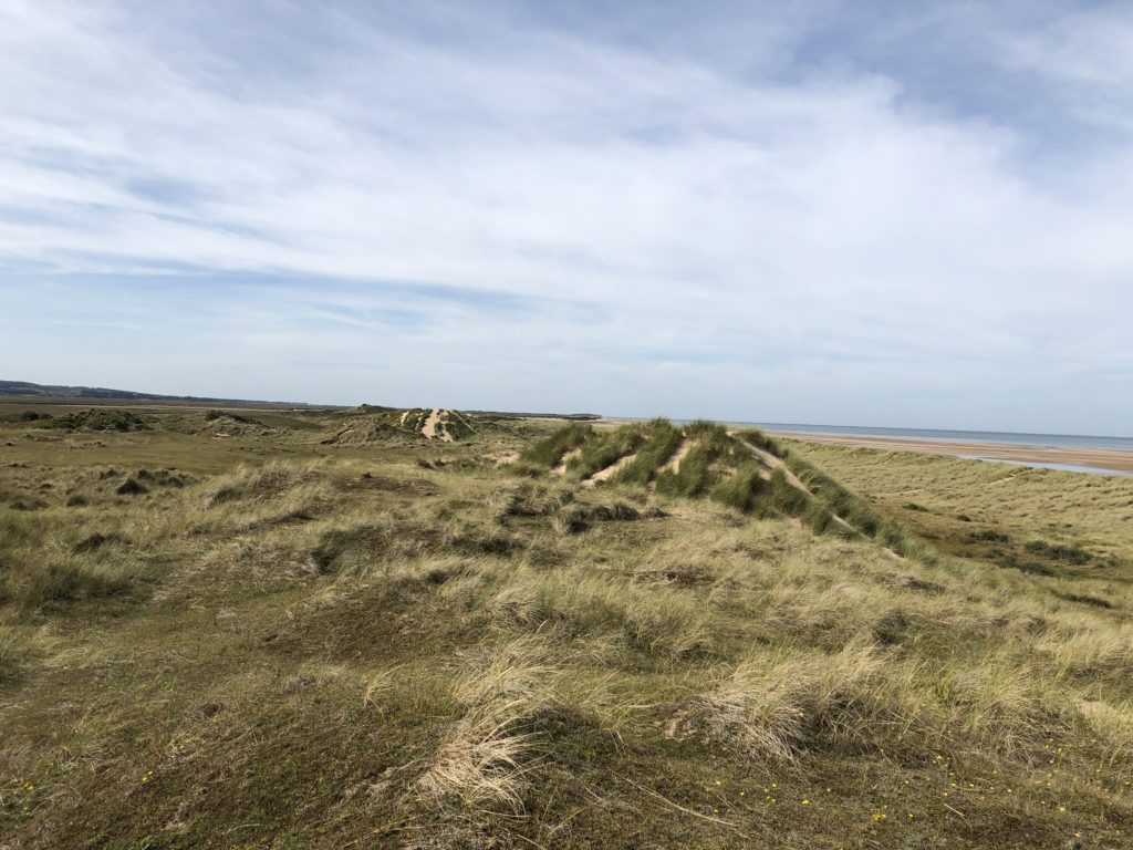
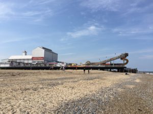
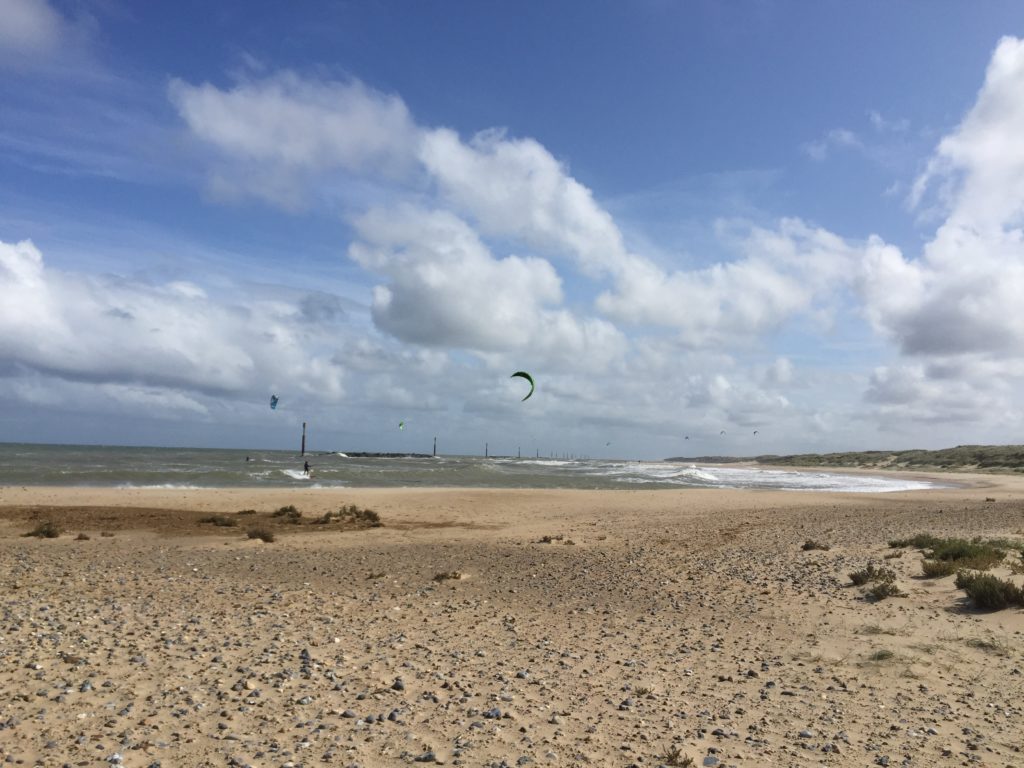
Eventually I re-joined the beach which had gotten much wider at that point. In the distance I could see some of the nine coastal defence reefs which were built in the 1990s to protect the village of Sea Palling.

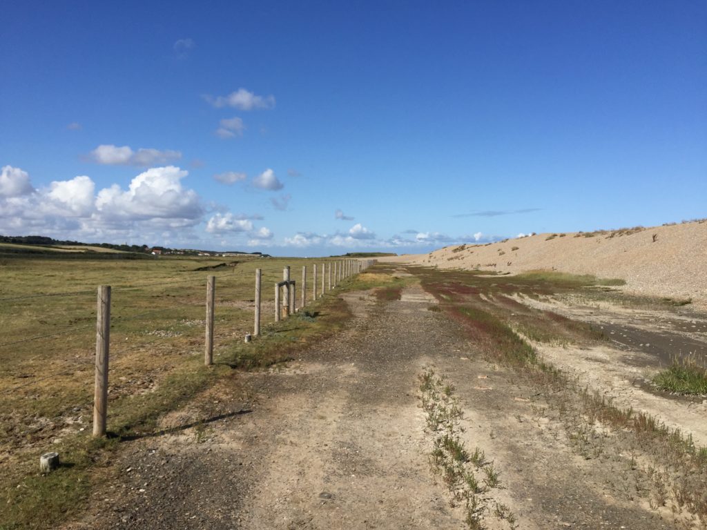
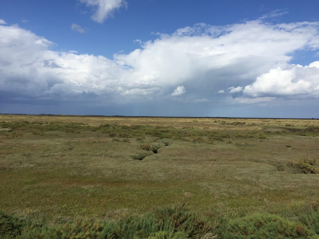
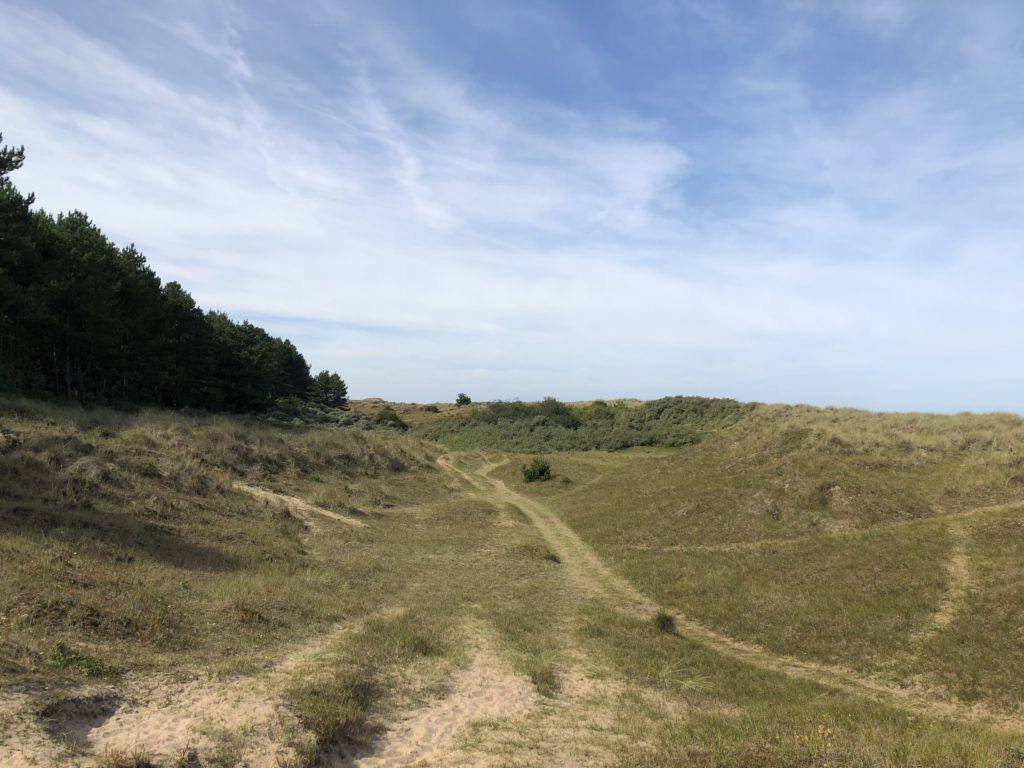
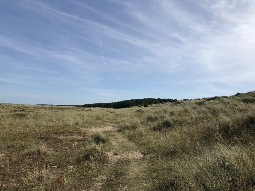
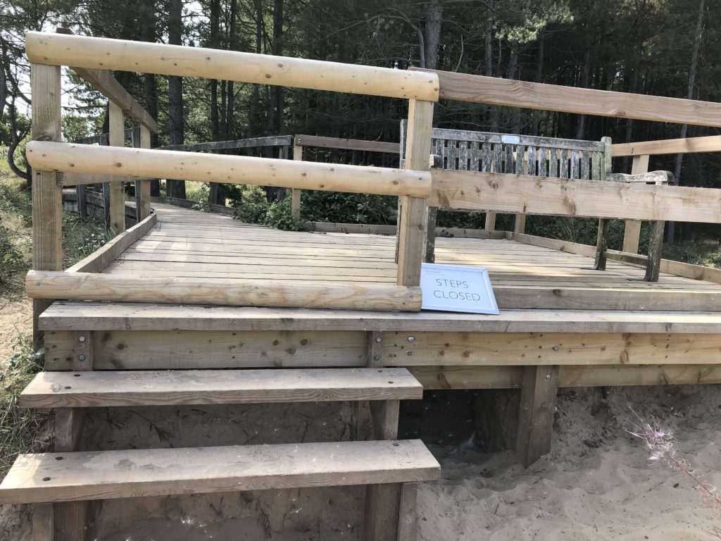
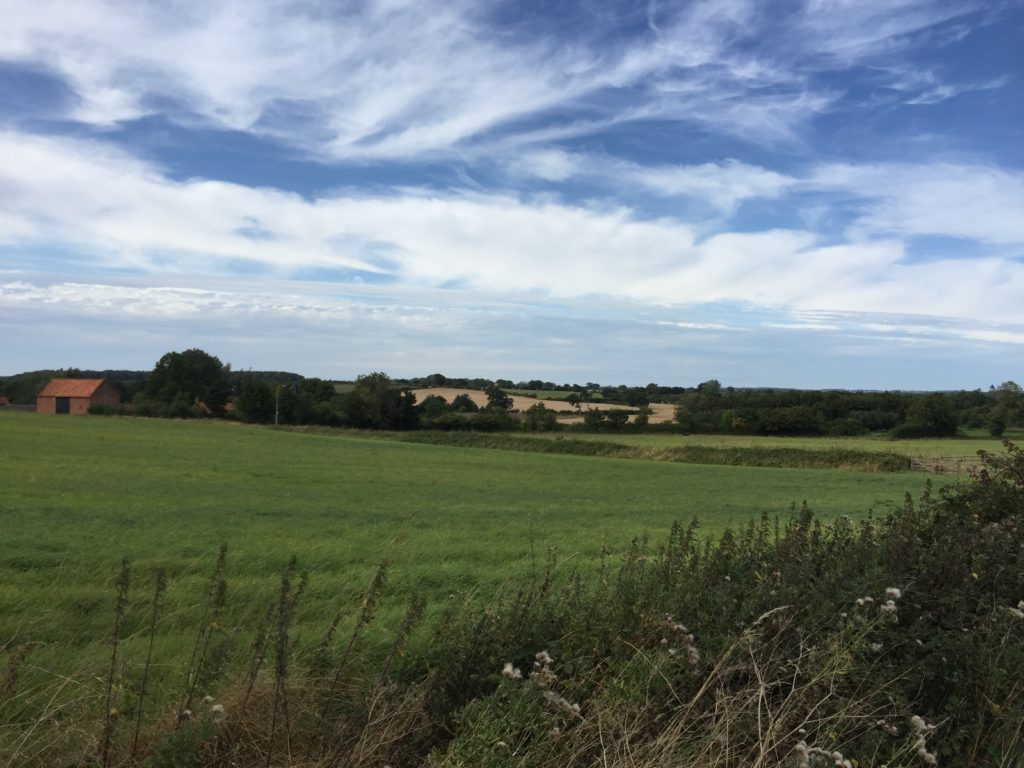
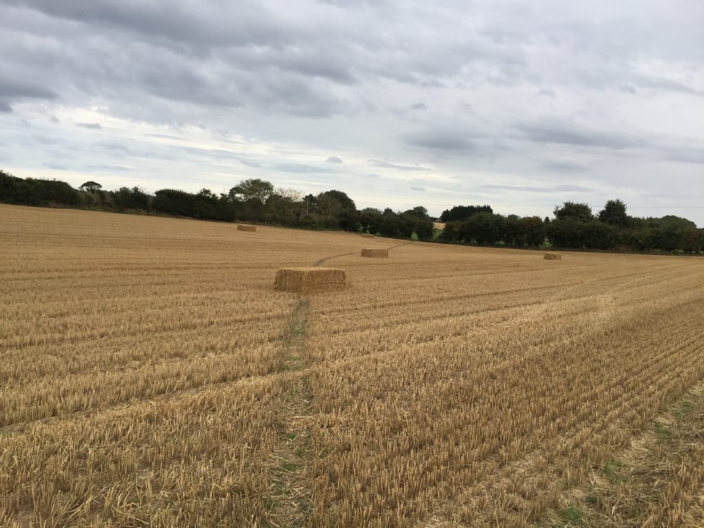
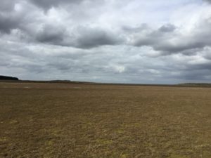
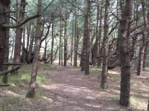
After Sea Palling the path leaves the coast and continues behind the dunes, which made this part of the walk less exciting, apart from some oddities on the way.

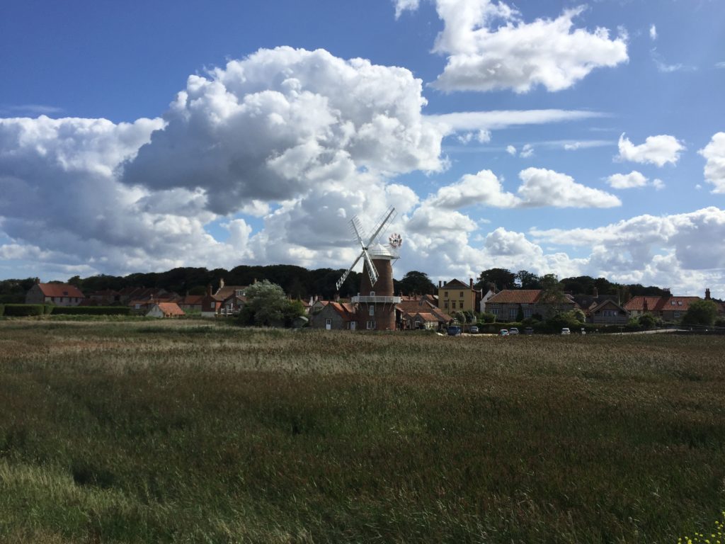
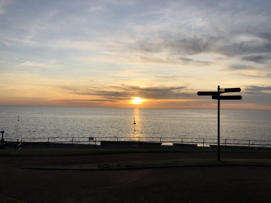
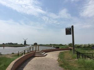
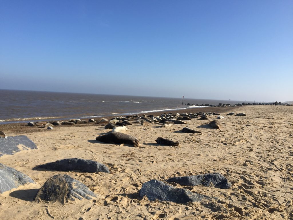
I walked quite quickly and had soon reached Horsey Gap, which is famous for its seal colony. (There’s also a good windmill nearby). I had already been here on an earlier occasion to look at the seals, and this time I followed the official path instead of going back to the beach. This was because I had planned to have a coffee break at Winterton, but time was tight because of my unplanned extension of the walk earlier that day.

Once again I just about made it before the cafe closed, and sat down for the first time in a long while.

Originally I had wanted to continue from Winterton to Great Yarmouth in order to complete the Norfolk Coast Path, which is another 9 miles. But since I arrived much later than anticipated and was also more exhausted, I decided to cancel the last stretch. This is sad because I have not been able to walk this last bit – which plays a role in Robinson Crusoe – yet, and will not be able to do so in quite a while. Another trip to Winterton is thus on the todo list for 2020.

North Norfolk Double Feature

In this entry I will cover what is probably the most popular section of the Norfolk Coast Path: the route from Sheringham to Hunstanton via Wells-next-the-Sea. I walked it in two parts, the first half immediately following my walk from Ayslham to Sheringham, so let us start there.

I did not sleep particularly well in the youth hostel and my feet slightly hurt from the previous day, so overall I felt a bit groggy. Luckily there was a cooked breakfast and the day was beautiful, so I nevertheless started the walk in good spirits. I was soon richly rewarded, for west of Sheringham the coast path is on the cliffs and provides some spectacular views.

The steam train in this picture is the North Norfolk Railway heading to Holt, which I have used on a previous occasion.

After the cliffs end the paths goes along a beach, from which one can see several anti-aircraft guns up a hill. They are part of the Muckleburgh Collection, a large military museum.

Soon afterwards the terrain started to change, and a massive shingle mountain appeared on one side.

I avoided walking on the shingle as far as I could, but soon there was no alternative.

The shingle was loose, so that each step was hard work and my progress became excruciatingly slow. I assumed that this would only be temporary, but after I had walked on shingle for half an hour I began to suspect that things would continue in this manner for a couple of miles, until the next village. This turned out to be nearly correct, for I luckily managed to find an alternative and much more pleasant footpath for the last mile.

This unpleasant experience made me wonder whether I had missed the route of the official Norfolk Coast Path at some point, but it turned out that the shingle hell is indeed the intended way. Since others have also not enjoyed this part of the walk very much I later found a proposal for a shingle-free detour.

I had now made it to the village of Cley-next-the-Sea, which is pronounced “Clay” and has a nice windmill. I have been wondering about the “-next-the-Sea” suffix, which – unlike the popular “-by-the-Sea” – only seems to be found in Norfolk, but have so far been unable to find any explanation of why this is so.

From this point on the walk became much less eventful, with the landscape for the most part looking like this:

One of the villages on the way is worth mentioning: in the first half of the 20th century Stiffkey famously had a rector who, after an eventful life and career, ended up being in eaten by a lion in Skegness.

Towards the end of the walk I became quite tired, and was pleased when I saw Wells-next-the-Sea appear on the horizon. I arrived there just in time to take the Coastliner bus to King’s Lynn, although the bus driver did not seem very enthusiastic about having passengers. After stating where I wanted to go he responded by saying “You know that you’ll be on this bus for three hours?” (this was repeated to other passengers as well), and pointed out that it would have been faster to take another bus which had left a minute ago. Despite the leisurely pace I enjoyed the scenic journey.

Two weeks later I was back in Wells, in order to tackle the ~22 miles to Hunstanton. Remembering the bus driver’s advice I did not take the Coastliner to get there this time, but the slightly faster route from King’s Lynn which involves changing buses in Fakenham.

Right to the west of Wells is one of the most scenic parts of the Norfolk Coast Path: Holkham Beach, which has appeared in various films and TV shows. It is hence a popular tourist attraction, but once I had moved away from the parking lot I was pretty much on my own:

After Holkham the walk continued to be pleasant but – as the second half of the first stretch – relatively uneventful. Even though it doesn’t quite fit I will use this occasion to insert a picture of a typical Norfolk flint house:

At the village of Brancaster the official Norfolk Coast Path takes an inland diversion away from the coast, which I felt unenthusiastic about. I had done some research in advance which suggested that there is the possibility to walk along the beach instead, however it was not clear whether this route was still passable due to a very recent breach of the beach. I was tempted to just give it a try, but ultimately decided against it because any delay would have meant walking in the dark or terminating the walk early.

After passing this signpost I had nearly reached my destination, and I approached Hunstanton walking on the beach. In an earlier entry I suggested that Hunstanton is not very nice, a statement I now would like to officially retract: the cliffs alone (of which I had been unaware on the earlier occasion) make it well worth a visit.

Another excellent feature of Hunstanton is that it is one of the very few places in the east of England from where there is water to the west, which is ideal for watching the sunset.

Unfortunately I failed to properly use this opportunity since I was hungry after the walk and tried to get some food, but long queues everywhere stopped me both from eating and from seeing the sun set. I regretted this on the bus back to King’s Lynn, but otherwise the walk had been a very enjoyable experience.

Towards the Coast by Steam and Foot

In September this year I went on a couple of walks in Norfolk, with the ultimate ambition to walk the whole of the Norfolk Coast Path. I had done small bits of it before (see here and here), and since the days were long the late summer seemed the ideal time to tackle this project. Ultimately I did not quite succeed, and there remains a 9 mile stretch of the path I have yet to walk, for reasons that will be explained in a later entry.

In order to kick off this undertaking I decided to go on a two-day walk with a stay in a youth hostel in between. This allowed me fit in another item on my to-do list, namely to take the Bure Valley Railway from Wroxham to Aylsham. This is a narrow-gauge steam railway whose one terminus is connected to the national rail network, whereas the other end is sufficiently close to the coast to walk there. This was ideal for my purposes, and so I booked a ticket.

When I arrived in Wroxham there was still a good deal of time left before the steam train would depart, so I strolled through the village.

It is pretty and popular with tourists who want to explore the Norfolk Broads. While looking at the local shops I found that  it is possible to rent small motorboats here without any boating or driving licence, which I found surprising and intriguing. I ended up trying such a boat a couple of weeks later when C. visited, and it was indeed fun even though they are very very slow. My proudest moment on that trip was when I had to reverse into the parking area of a riverside pub with the boat.


For now it was time to take the train though. I had never been on a narrow-gauge railway before, which is half the size of a regular train, and the carriages did look tiny when they drew in.

The train was very popular with families, where in many cases the parents appeared to be much more interested in the proceedings than the children. One father (who looked a bit like David Cameron) started to chat to the engine driver, and was clearly pleased when he could correctly name some of the components of the engine. I could sympathise with this excitement, and soon we started to head north. The ride was quite bumpy but enjoyable, with some nice views of the typical Norfolk countryside.

After arriving in the town of Aylsham I ate a sandwich for lunch in the shadow of the church, in order to be ready for the ~17 miles to the coast. This stretch is the northern end of the Weavers’ Way, whose southern terminus is Great Yarmouth.

After sitting on various trains for several hours I felt full of energy and made swift progress. I soon passed Blickling Hall, one of the two stately homes on this walk. I did not pause here to have a closer look because I wanted to save time in order to reach the other stately home – Felbrigg Hall – before closing time. This was partly in order to have some tea in the late afternoon, but also because the latter was home to Wyndham Ketton-Cremer, who was known to be a great Norfolk enthusiast. I had brought his book “Forty Norfolk Essays” with me, which contains various Norfolk anecdotes from throughout the centuries. One I still remember concerned a local clergymen who became the target of vicious gossip for being too fond of custard, for instance.

The footpaths I walked along were pleasant and free of obstacles, apart from some cows blocking the way. The landscape here even featured some gently rolling hills, and I came across a church with an unusual round tower.

While walking along a country lane I encountered a sign that said “Slow You Down”, which struck me as rather unidiomatic (even though I’m not a native speaker). I later learned that this is an instance of the local Norfolk dialect, and apparently a number of other Norfolk villages have started to put up these signs as well.

Shortly afterwards I passed through the tiny and quaint village of Hanworth (not this one), where a village fête was in progress. Nearby I saw this milk box, and I couldn’t walk on without checking whether it contained any milk bottles (which it did).

As mentioned before my plan was to have some tea at Felbrigg Hall, where the café closes at 4pm. I had lost some time after taking a wrong turn due to not reading the map carefully enough at one point, so I started to doubt whether I would make it. I increased my walking speed for the last mile and just about succeeded, ordering my tea 10 minutes before closing time.

The Weavers’ Way I had been following leads to Cromer, but my intended destination was Sheringham, where I had booked the youth hostel. After Felbrigg Hall I thus left the Weavers’ Way to follow some unnamed footpaths to the coast. This was more adventurous than anticipated, for one of them led me through a variety of fields with different crops, and with each the actual path became harder to spot:

I ended up in a woodland with so many different paths that I lost track of where I was, so I walked in the direction that intuitively seemed correct. This worked surprisingly well, and I eventually arrived on Beeston Regis Heath, from where I could see the sea for the first time.

By now I had walked more than the 17 miles I had anticipated, and so instead of continuing all the way to Sheringham I went to West Runton railway station to take the train for the last few miles. After checking in at the youth hostel I was very hungry, and went into town to get some fish and chips. There were various shops, but while most were completely empty one was crowded and full of people, so I trusted the instinct of the the masses. I did not regret this decision, and enjoyed my dinner while watching the sunset at the beach.

Suffolk Coast (Part 1)

I started the new year by going on coastal walk from Great Yarmouth to Southwold with a stay in Lowestoft. This was partly inspired by W. G. Sebald’s famous The Rings of Saturn, in which the narrator follows the Suffolk Coast Path. In a film based on the book, Robert MacFarlane says that one should not walk this route merely because one likes Sebald, but luckily this did not apply to me since I am of course interested in walking through East Anglia anyway.

Sebald starts in Somerleyton, home of the inventor of the hovercraft. I didn’t want to wait to see the seaside though, and so decided to begin my walk in Great Yarmouth and hence in Norfolk. In order to get the most out of the daylight I took an early train from Cambridge, but unfortunately missed the connecting train in Norwich by one minute and had to wait there for a whole hour. This proved to be a benefit rather than a nuisance however, since the next train to Yarmouth ended up being loco-hauled by class 37s:

These and their memorable sound already made an appearance in the post about the walk to Great Yarmouth; but I had never actually used this kind of train before and was hence very pleased.

After arriving in Yarmouth I walked along a road south towards Gorleston-on-Sea. The weather was quite pleasant, and I soon reached the end of Yarmouth and the beginning of Gorleston:

I walked along the promenade, at the end of which I joined the Norfolk Coastal Path.

Pretty soon the path disappeared, however, because the cliffs and dunes along the beach have been eaten up by erosion. I thus had to continue walking along the beach, on which one can find debris of fences that used to stand at the edge of the cliffs:

At some point it was possible to leave the beach and continue on top of the cliffs, from where the view was much better. There was no shortage of uninviting notices, however: The concrete promenade along the beach is no longer accessible, and soon the cliff path itself ended with an assortment of warning signs:

While in Norfolk the coastal path is signposted well, but after I had crossed the border to Suffolk no more sign were to be seen. According to my map the footpath did nevertheless continue all the way to Lowestoft, but I had some trouble locating it in the real world, and ended up in a muddy field next to a rifle range.

Eventually I arrived at the edge of a Caravan park. There was a path along the cliffs which I assumed would be the public footpath, however strangely enough it was fenced off from all sides and could not be used. Since there was no other way out I had to walk through the caravan park instead, staying as far away from the caravans as possible. After that I went through some more fields until I reached the village of Corton, where for the first time since entering Suffolk there was a public footpath sign. Unfortunately, however, what this sign said was that the footpath along the coast had been lost due to coastal erosion.

Subsequent investigations showed that the clifftop path I had seen on my map was destroyed in the winter of 2012. (Unlike other counties, Suffolk doesn’t seem to have a list of closed and diverted footpaths online, so it was difficult to predict these complications). One can thus not recommend walking the route I had taken, because the way through the caravan park is on private land. This is very unfortunate, since as far as I had been able to make out is is also not possible to walk this stretch on the beach either.

After passing through Corton Lowestoft was now close. I had never been there before and was very curious, since it is Britain’s most easterly town and home to the easternmost point of the country. As usual for the seaside, the border between town and country was marked by caravans:

This is what Ness Point – Britain’s easternmost point –  looks like:

It must be admitted that it is probably not the most spectacular extreme point, a view which is also reflected in a number of harsh reviews of the location on Google Maps. The reason for this is presumably that Ness Point is located in quite an industrial part of Lowestoft, as is indicated by the rather prosaic street names nearby:

I was pleased to find that Lowestoft has more scenic parts as well, especially the promenade south of the river. Here there are rows and rows of traditional British hotels and bed and breakfasts, in one of which I stayed the night – as the only guest, in fact, since January is not exactly high season.

My stay there was very pleasant, and the next day I was ready to continue my coastal walk to Southwold, which will be the topic of the second part.

North Norfolk Coast

In April my parents came to England to visit me, and since they drive I wanted to use this opportunity to go to some locations that are not so easy to reach by public transport. Based on a previous visit to Cromer and Sheringham (which are accessible by train) I had already formed a favourable opinion of the North Norfolk coast, and thus we embarked upon a more elaborate tour of this area: Inspired by Sir John Betjeman we would start in Hunstanton, then work ourselves east towards Holkham Beach and Wells-next-the-Sea, and then end the day in Sheringham and Cromer. (Let me note that it is not impossible to explore this route by public transport, since there is the Coasthopper bus service.)

On the way to Hunstanton we visited Royal Wolferton station – a now disused station which Queen Elizabeth (and presumably former monarchs as well) used to disembark at in order to go to Sandringham House for Christmas. Nowadays the whole line from King’s Lynn to Hunstanton is no longer in operation, and the Queen has to take a regular Great Northern service to and from King’s Lynn (first class though). Nevertheless, the former royal station is persevered beautifully:

It is now privately owned, but the owners try to open the platform for visitors between 12 and dusk – unfortunately we were a bit too early for that.

After this promising start we then made it to Hunstanton, which was not quite how I imagined it to be. The impression of the sea was somewhat overshadowed by the concrete promenade, the smell of frying oil and the flashing lights and sounds of various pleasure rides – we were quite excited about the (apparently famous) Wash Monster though. The only picture I have is of a Postman Pat kiddie ride: 

This is because as a child I was really enthusiastic about these rides, especially the music. To my knowledge they didn’t exist in Germany, but could be found in Denmark where we used to go on holiday (Postman Pat is called Postmand Per there). I have never seen any episodes of the actual TV series though.

About 30 minutes after paying for parking we decided to venture on, our destination being Holkham Beach. I had heard that this is one of the nicest beaches in Norfolk, so our hopes were high. Also, I had seen shots of it while watching Kingdom, a TV series with Stephen Fry set in Norfolk, which is sometimes kind of funny, and does make the beach look impressive indeed.

We enjoyed the drive there along the narrow but very scenic coastal route, on which nevertheless caravans are transported:


We weren’t disappointed by the beach itself either. It is vast and it took us a while to actually see any water.

From Holkham it is not far to Wells-next-the-Sea, which I had decided should be our next destination. It would have been very nice to walk there along the beach, however here a drawback of travelling by car became apparent: Eventually one always has to go back to where one parked it. Because of this, in the end only I walked, whereas my parents went back to the parking lot, the plan being to meet up again at Wells. Along the coast there are pine trees, which I really enjoyed since they are not so common in East Anglia, and – like Postman Pat – once again reminded me of previous childhood holidays in Denmark.

I was reunited with the parents in Wells. Since the town was very crowded we decided not to stay there for longer after all, but to continue eastwards to Sheringham. There the principal goal was to have cream tea: On a previous visit I had been to a tea house there and thoroughly enjoyed it, and I had stressed this fact to my parents in order to make going to the Norfolk Coast more desirable. Consequently there were high expectations.

I had not checked in advance until when the relevant cafe was open, which proved somewhat unfortunate now, since we arrived there at 3:45pm, and closing time was 4pm. The cream tea we had could therefore not be enjoyed to the extent it would otherwise have been possible, given that we only had 10 minutes and were surrounded by people cleaning up. This experience made my parents wonder whether our first stop in Hunstanton had been such a good idea.

Luckily the rushed cream tea incident did not dampen the mood, since Sheringham has much to offer (I am such a big fan that I even own a Sheringham poster). There is the North Norfolk heritage railway, for instance, which I had the pleasure to actually use not long after the trip currently under description:

Sheringham Park also deserves a mention, though we did not visit it on that day either:

What we actually did was to walk along the coast a bit, which features good cliffs. Particularly interesting is the Beeston Bump, a hill which apparently inspired Conan Doyle when writing the Hound of the Baskervilles.

The view from up there can also be recommended:


After wandering around for a good while we went to a pub for dinner. After some discussion it was decided that we also briefly check out Cromer before heading home again. The sun was already setting, but I have a daytime picture from another time which provide a good impression of Cromer’s Victorian pier:

It even won the Pier of the Year award by the National Piers Society in 2015.

Of course no visit to the seaside would be complete without going to an amusement arcade, and for sure I did that as well. Since this was not too different from experiences described previously I will close without further elaboration though. Despite some complications this tour along the North Norfolk Coast was a pleasant experience overall.

A Trip to the Seaside

I sometimes ask people whether they want to join me on a trip, but usually no one wants to come. I was therefore very happy when my friend T. agreed to accompany me on a trip to Great Yarmouth in May. The plan was as follows: First we take the train to Norwich, then change to the Yarmouth-train to get off at Berney Arms, a tiny railway station that is known for being in the middle of nowhere. Then we would walk from Berney Arms to Great Yarmouth, through the Norfolk Broads along the river Yare, and have a nice time at the seaside. And that is precisely what we did.

The journey to Norwich went smoothly, and we caught the required train. There are two railway lines to Great Yarmouth, and Berney Arms is on the one which is less frequently used, so it was important to get this particular connection. It is also a request stop, so the conductor had to be informed about our wish to disembark. Although our train was by no means very long – only two carriages – the platform at Berney Arms is so short that only the very first door can be used! A surprisingly large crowd got out there as well, about 5-6 people.

Even T., who is not exactly a railway enthusiast, was duly impressed by the smallness and remoteness of the station, and pictures were taken accordingly. The footpath from the station leads to a windmill, and there also used to be a pub called Berney Arms. Unfortunately that has been closed for a few years; in this video the previous owners are interviewed, which amazingly moved there from Birmingham. Since going to a pub is more appropriate at the end of a walk rather than its beginning, the closure of the pub was no great inconvenience to us though.

T. and I made out way towards Great Yarmouth along the Wherryman’s Way, which is a distance of about 6 miles. (If you walk into the other direction you get to Reedham, which has a swinging bridge). The terrain is Norfolk at its finest and flattest, we could see the windmill we started at until the very end of the walk. Since we were close to the sea it was also quite breezy, and given that there were no hills or trees T., whose ears are sensitive to cold wind, suffered a bit. This could easily have been prevented by the presence of a cap or a hat, but neither of us had brought one.

We passed some more windmills, and Great Yarmouth, which is stretched out along the coast, started to look bigger and bigger. Our way met the railway line again, near the junction where the two lines to Yarmouth join. Here another train highlight could be observed: Two class 37 locomotives moving three carriages, which Greater Anglia uses on some lines:

It is astonishing how noisy these locomotives are; the sound could leads one to believe that an invisible helicopter is starting somewhere! (This is captured well here).

After arriving in Great Yarmouth we looked for some well-deserved lunch. We opted for fish and chips, and found a nice-looking place, where we were at first slightly overwhelmed by the many choices required: Beans or peas? – If peas, mushy or garden? – Luckily we did thoroughly enjoy the meal we eventually managed to order.

As is usual in seaside towns, many seagulls were around, although here they were relatively harmless, and did not attempt to steal our food. T. didn’t seem to be familiar with seagulls, which might appear strange for someone who has been living on an island for some years. It is explained by the fact that he is from the south of Germany, where the seaside is far away and people tend to prefer mountains anyway.

As a town, Great Yarmouth is certainly quite different in character than Cambridge. There are plenty of opportunities for entertainment, for instance this endlessly vomiting man:

Our attention was caught by the various amusement arcades, and in particular the penny pushers:

I am a big fan of these ever since I first encountered them on a school trip to Clacton-on-Sea – which in retrospect strikes me as a strange place to go to for a school in the West of Germany – where I spent quite a lot of time and money in the local arcade. (If you are not familiar with these machines, this clip can give you an idea). Since then I have learned a lot, and as far as I can see the crucial trick needed to win is not to put in one coin slowly after the other, but to insert a couple of coins in quick bursts. T. and I applied this strategy, and it worked – although I cannot remember now what kind of prize we won exactly, and we didn’t take a picture of our triumph.

[UPDATE: Pictures were taken after all! We won a little solider action figure, and also a plastic ball containing a toy. Thanks to T. for the correction.]

Later we walked around on the beach, where it was quite busy since it was a sunny day. Having done that, we decided to drink a beer at the bar on the pier before heading back to Cambridge again, which gave the day a nice sense of closure.

Full closure was not achieved, however. By coincidence, our train back to Norwich took the less common route via Berney Arms again, and hence I have yet to see the more standard route via Acle, which runs parallel to an unusually straight road. To see it I will thus have to visit Great Yarmouth again – a journey I’m looking forward to.