To the East

Pennsylvania is a big state, and the hilly western part which contains Pittsburgh is quite different in character from the flatter east, with Philadelphia on the southeastern edge. Comparing these two cities is a delicate matter about which I want to remain silent. Instead I will focus on how, on two separate occasions, I managed to cross the Allegheny mountains and made it to the eastern flatlands.

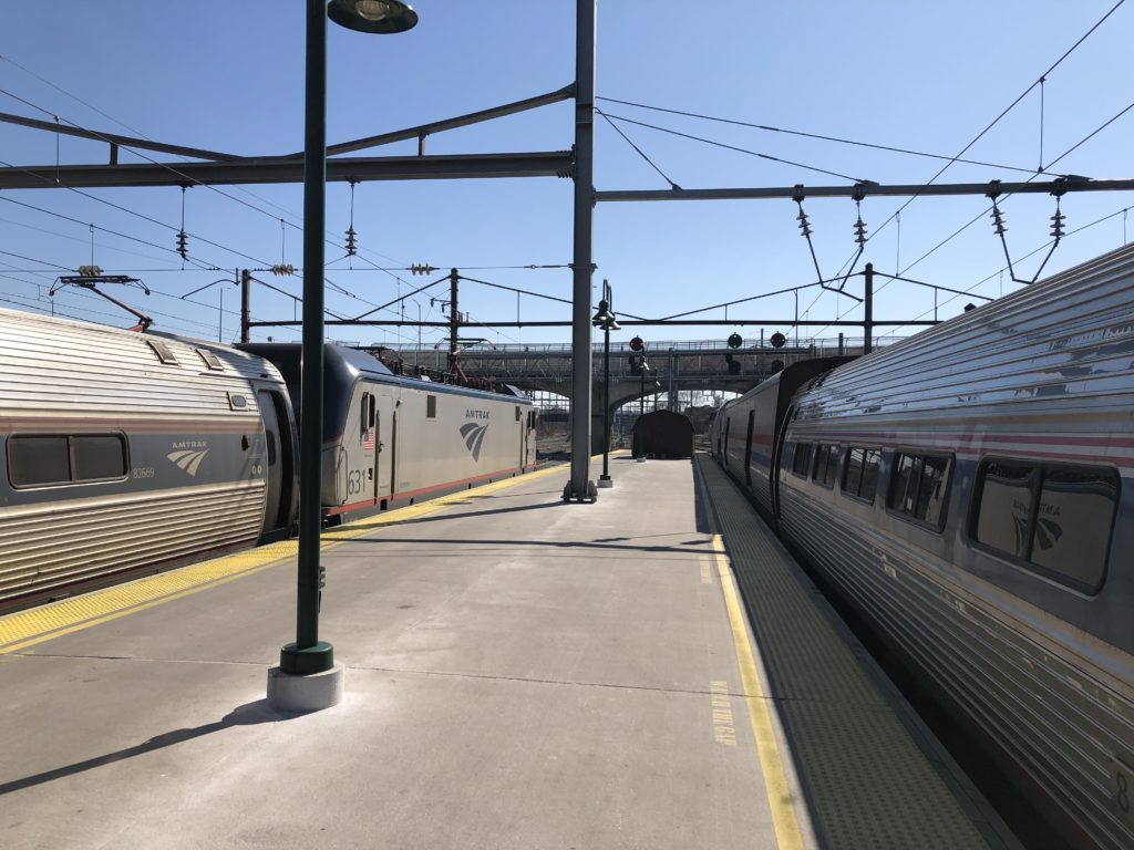
Once a day Amtrak runs a train called The Pennsylvanian all the way from Pittsburgh to New York, and of course I had to try it. On a Saturday in late February I thus left home early to catch the train at the Pittsburgh railway station, which apart from the Pennsylvanian has only two more departures each day in total (heading for Chicago and Washington D.C.). I was very lucky with the weather, since there was bright sunshine all day. Ever since watching Trading Places many years ago I have found Amtrak’s silver locomotives and carriages quite stylish, and this didn’t change after encountering them in real life.

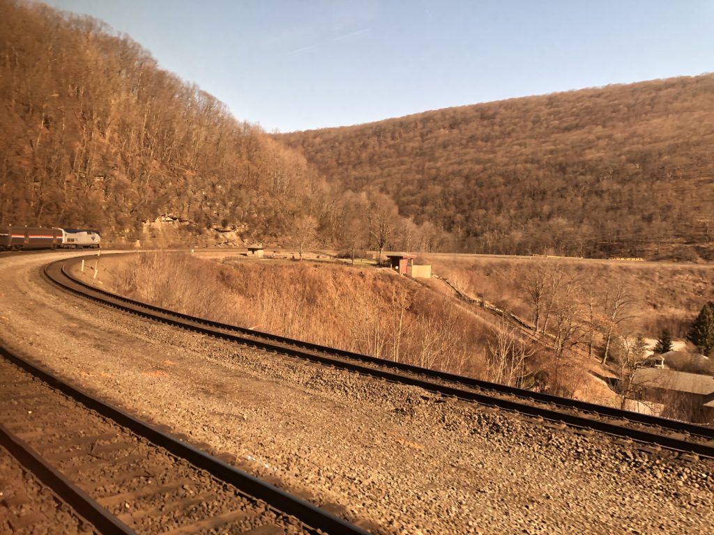
Going up the Allegheney mountains is not a trivial matter, and in order to deal with the changes in altitude there exists the so-called Horseshore Curve: a long curve in the form of a horseshoe that makes the ascent and descent less severe.

Enthusiasts who cannot get enough of the curve are in luck, for there is a 24 hour livestream on YouTube which captures all the trains that run through here.

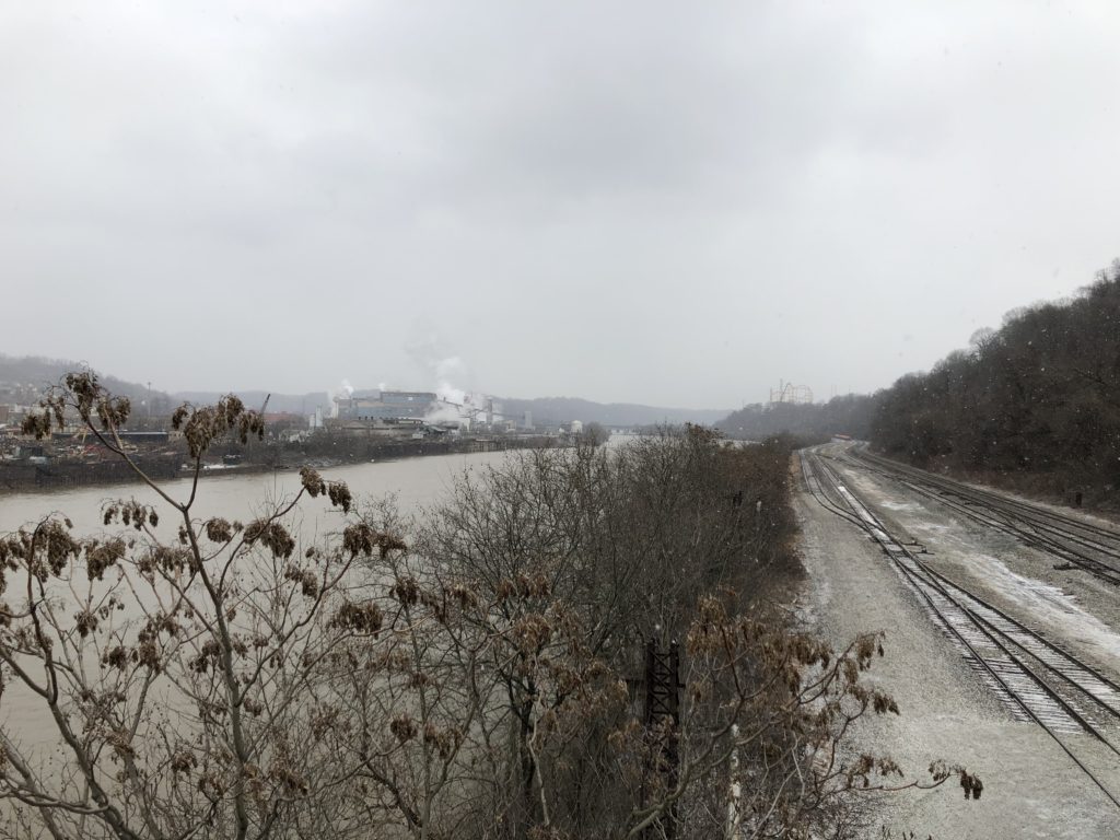
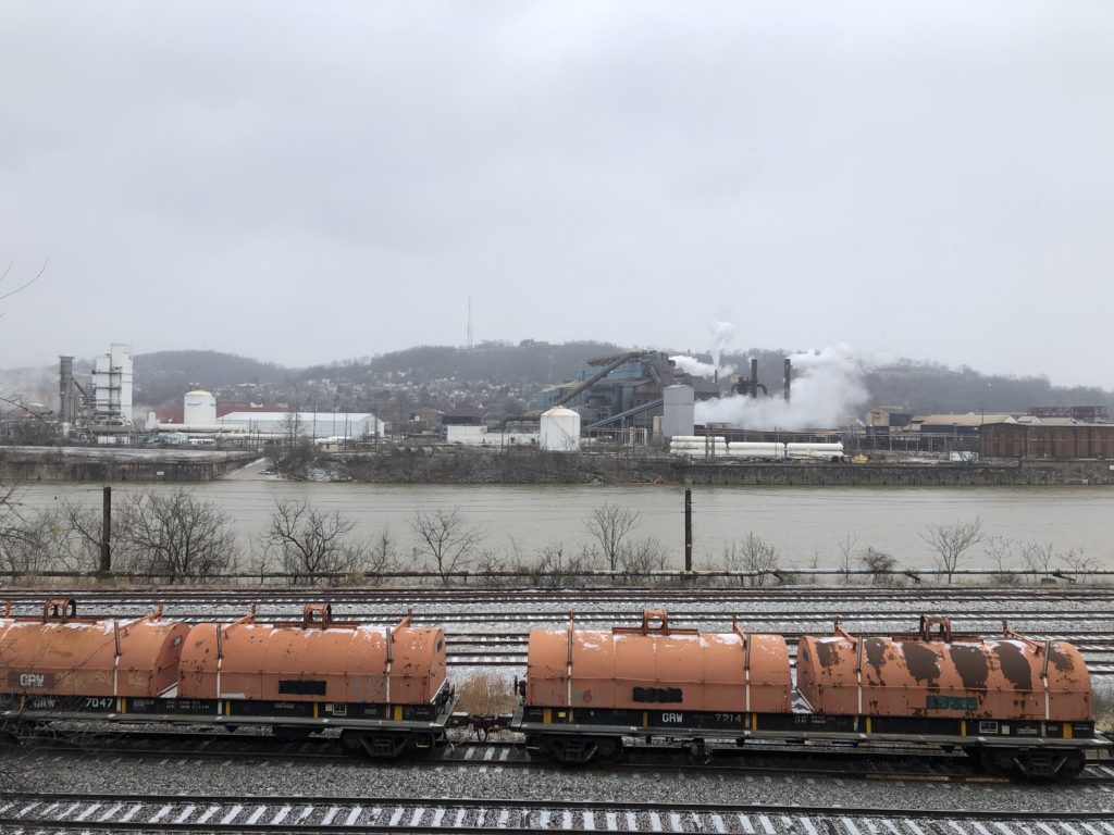
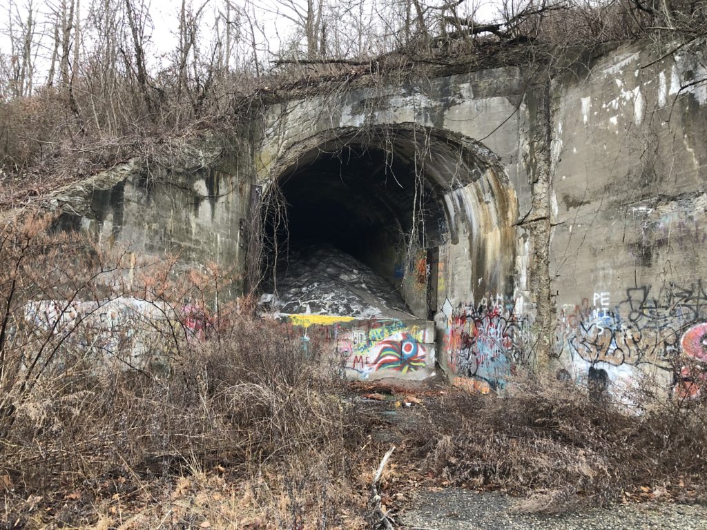
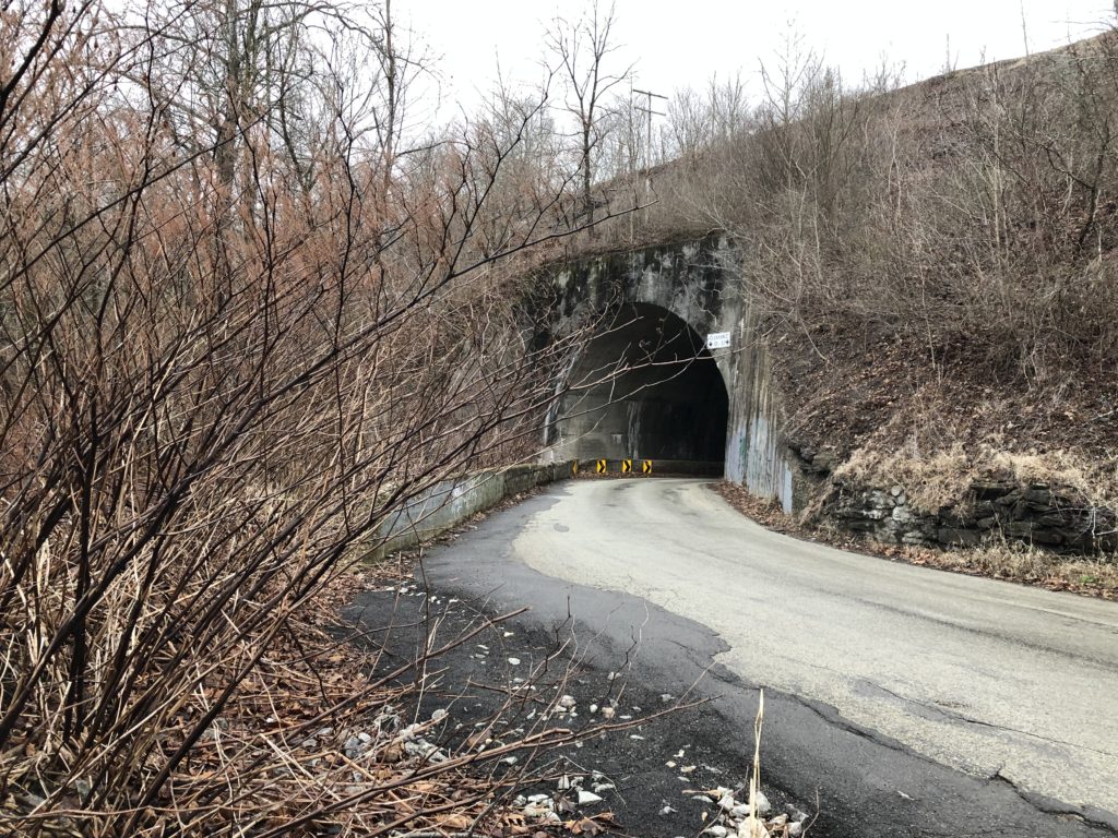
This is how trains manage to conquer the mountains, but what about cars? They use tunnels, as I could experience on my second journey east on a Greyhound bus. Even before coming to the US I had heard many stories about Greyhound buses, not all of them positive. I had watched this video with 10 tips for beginners though, and some more of the apparently countless videos on all things Greyhound the channel provides (“10 bad things that will happen on the Greyhound bus“, “10 trips for travelling alone on the Greyhound bus“) – so I felt prepared. One potentially relevant piece of advice only reached me after I had already bought the tickets, however, namely that many people prefer to use Megabus.

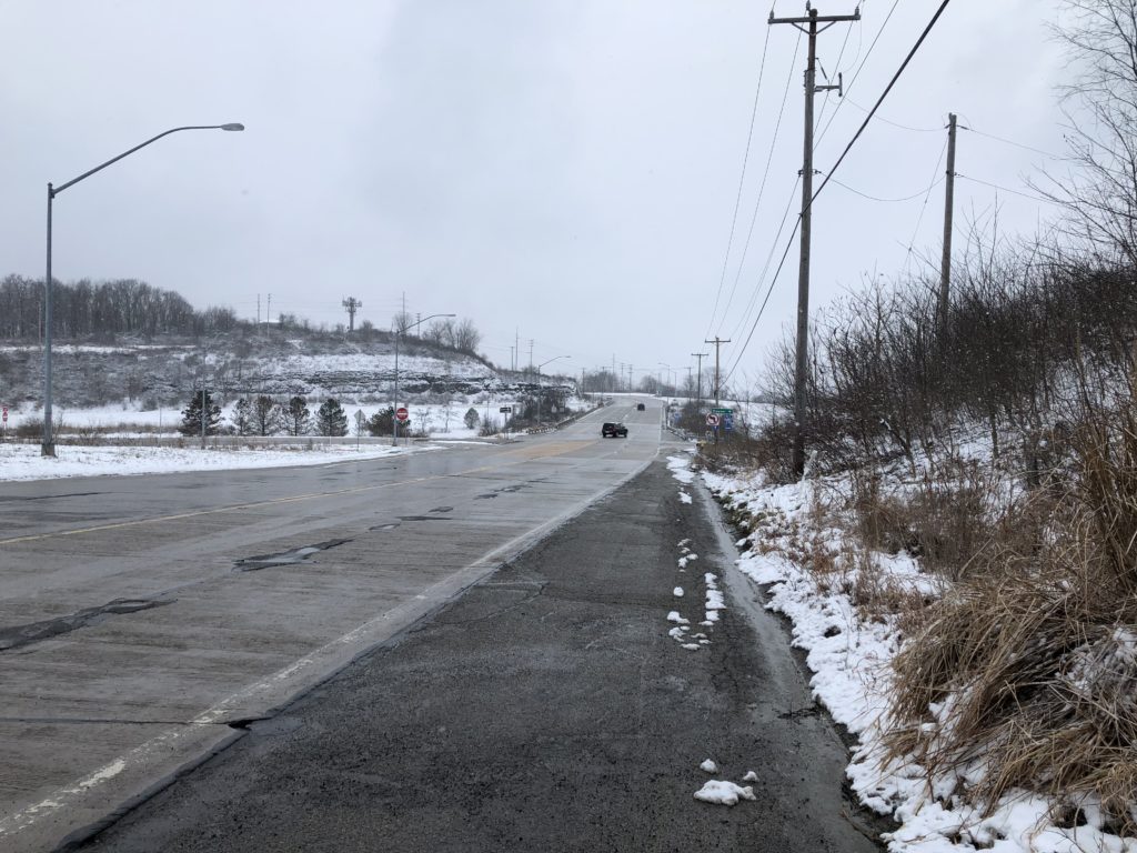
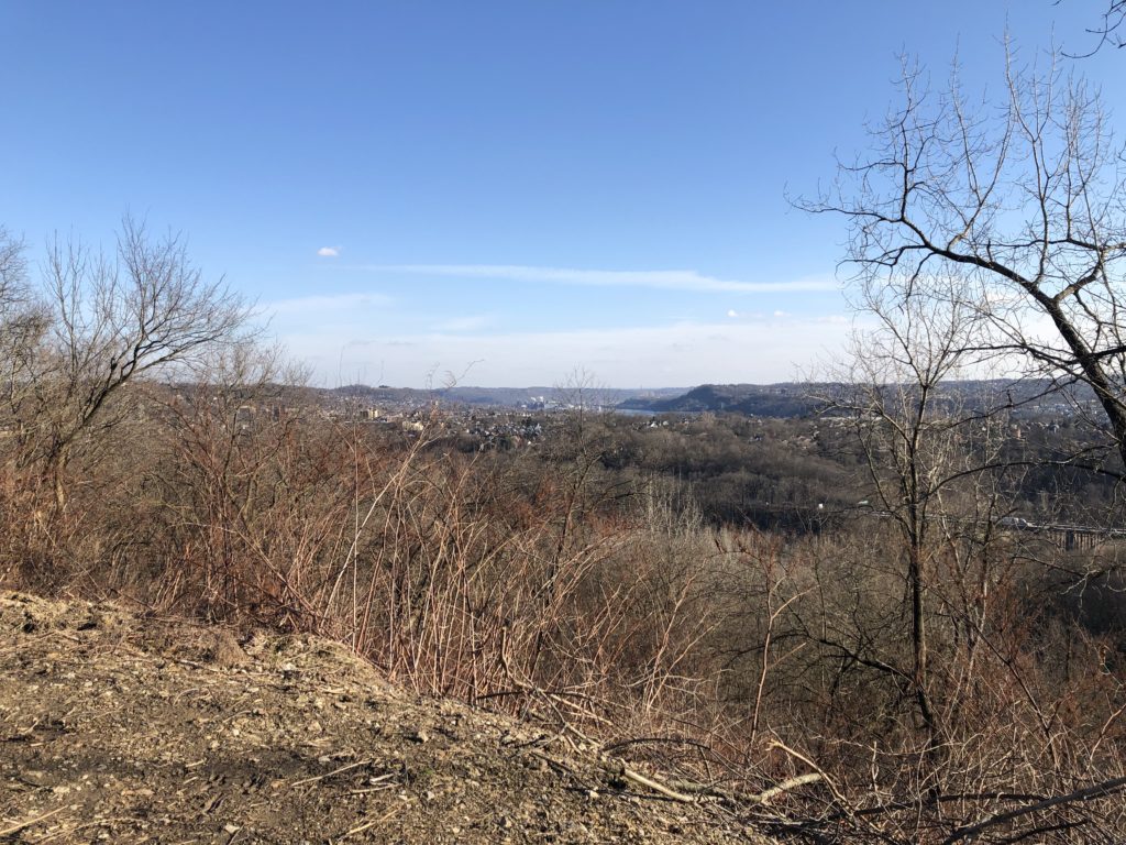
The trip got off to a rocky start, since the bus was overbooked and I had to wait at the Pittsburgh Greyhound station for 1,5 hours until a driver from Cleveland arrived, who did an additional shift in order to get us to Philadelphia. From then on everything went smoothly though, and the journey along the Pennsylvania Turnpike was pleasant, even though not quite as scenic as the train. My favourite part was when we left the Blue Mountain Tunnel, the last of the four tunnels under the Allegheny mountains. After many miles in the valley between hills the landscape here suddenly opened up, and one can finally look into the distance over a flat landscape full of fields and meadows. One can get a sense of this experience towards the end of this video, although they unfortunately stop recording a bit too early.

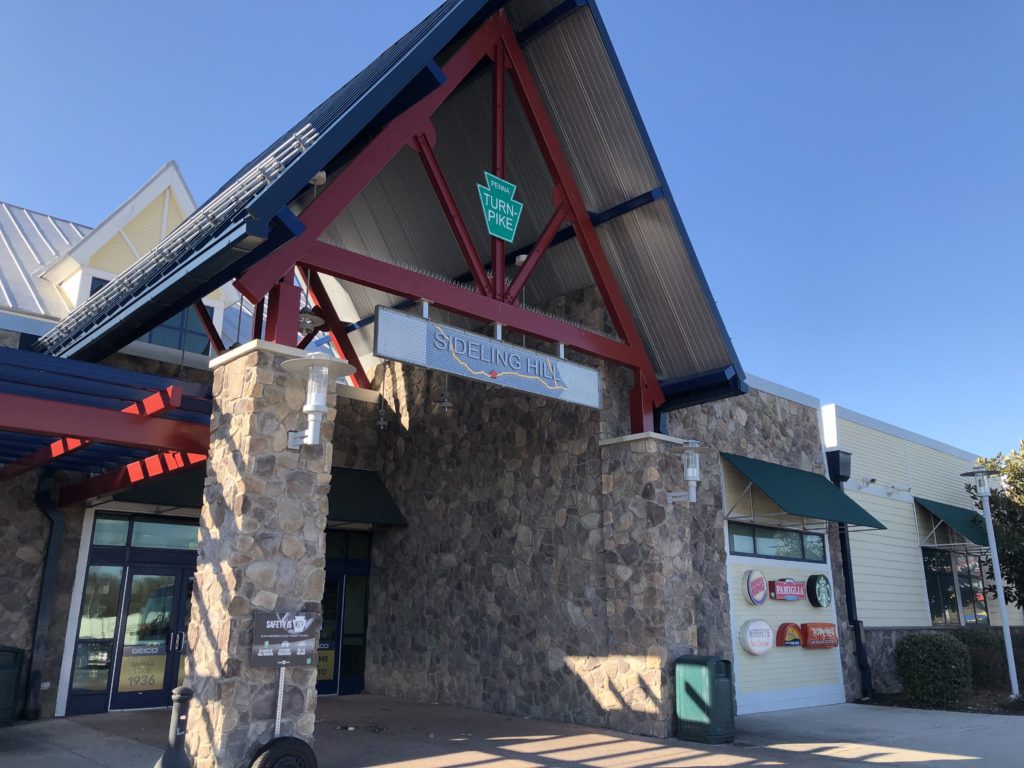
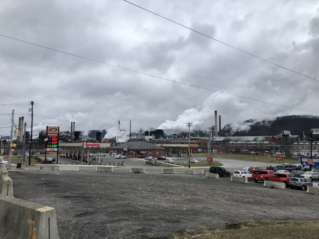
After the tunnels the bus stopped for a break at a rest stop. Ever since arriving in Pittsburgh I had been looking for Pennsylvania merchandise, and what I had in mind specifically was a t-shirt with only the shape of the state on it. At the rest stop shop I found some sweaters which at least approximated this ideal to some extent.

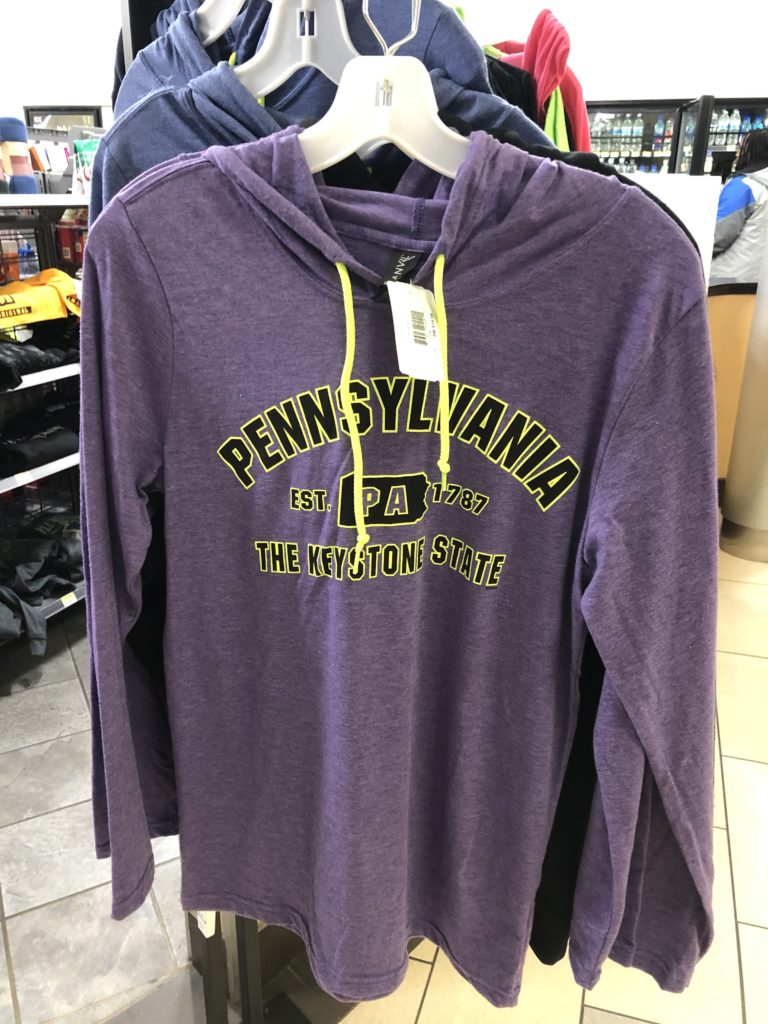
In the end I didn’t buy one, and it seems that they are not the most popular product. From the fact that I looked at the sweaters someone apparently concluded that I must be an employee of the shop, and asked me where the cigarettes are (I didn’t know).

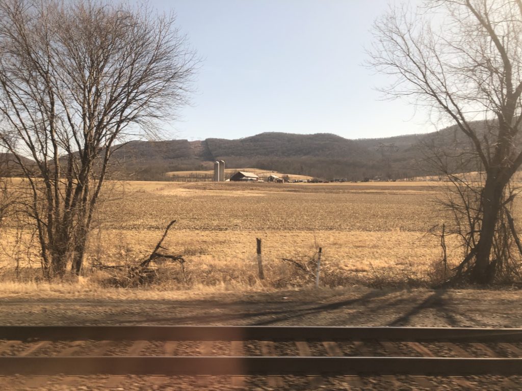
One area I was particularly interested in was Lancaster County, since I imagined it to be the East Anglia of Pennsylvania: flat, rural, and quaint. I had considered to stop in Lancaster or go on a day-trip there, but this turned out to be a hassle to organise, so instead I just stared intently out the window of the train as we passed through. I did like the landscape and even saw a plough drawn by a horse, which I don’t remember ever encountering in England. The farms looked quite different though, with the stave silos striking me as especially American.

According to Appleton’s travel guide the landscape to the west of Philadelphia is “apt to remind the tourist rather of the best Farming districts of England”, and although that seems a bit exaggerated I am sad to not have seen more of Lancaster County, whose towns also have brilliant names such as Bird-in-Hand or Intercourse (other parts of Pennsylvania are good for place names too, compare Eighty Four and the landlocked Jersey Shore). I hope to be able to return some day, and until then be content with humming this tune while walking through rural areas elsewhere.

In the end the point of all this travelling was to arrive somewhere, and once I had made it to Philadelphia I had a good time. From a plaque I learned that when William Penn designed the city, he wanted “uniform streets with houses built in a line”, and ensure that the city “will never be burnt, and always be wholesome”. Unfortunately things are not quite as rosy in all parts of Philadelphia today, but the centre and the historic district are excellent for sightseeing.

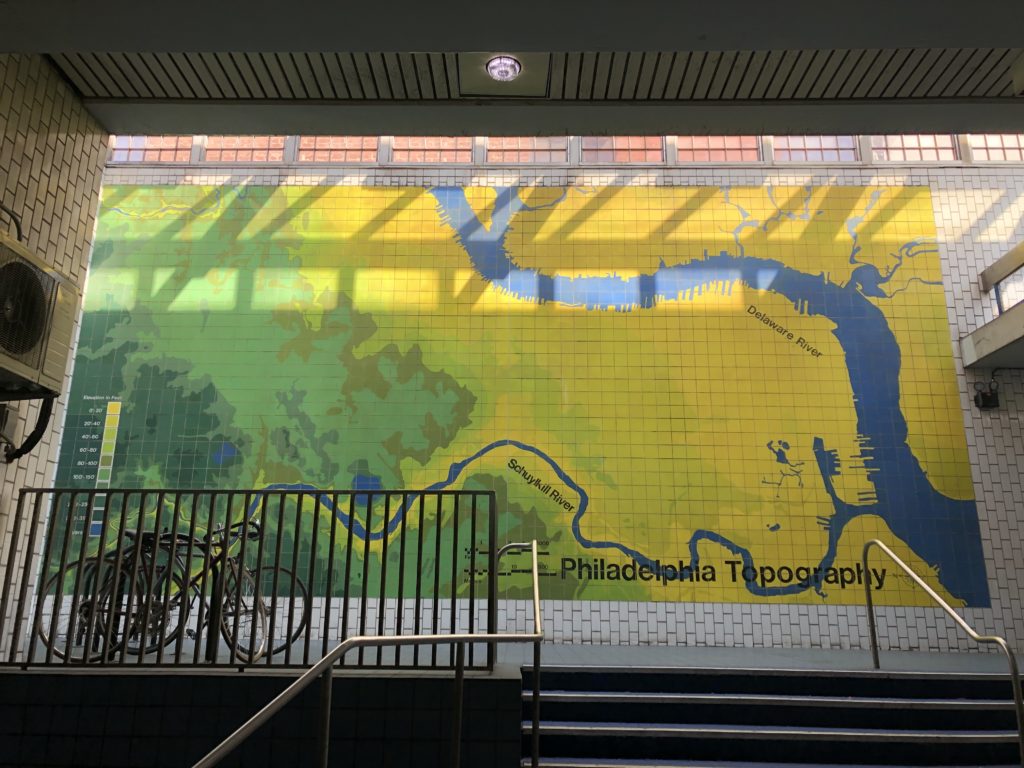
On my last day in town I went for a walk along the difficult-to-pronounce Schuylkill River. There were a surprising number of similarities to a river walk in Cambridge: boat houses, rowers, and a railway bridge.

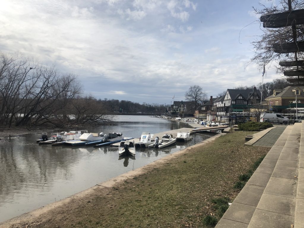
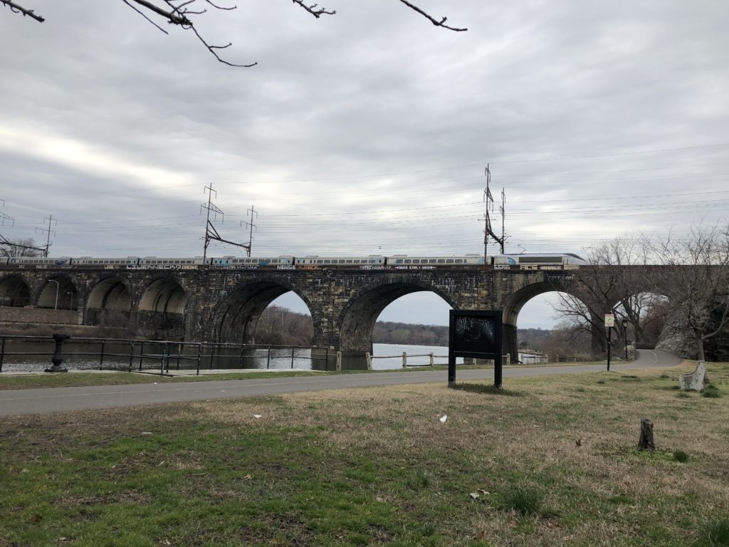
Not everything was identical, for there were no cows, but instead an extremely busy motorway on the other side of the river. It was nice to be reminded of a familiar place this far away from Europe.

American Life

On the first day of 2020 I got up early in order to catch a flight to the US, where I had never been before. I was to live in Pittsburgh, Pennsylvania for a couple of months in order to do some research (the visit ended a bit earlier than planned though due to current events). This was an exciting way to start the new year, and I was was very curious about how living in Pittsburgh – a hilly post-industrial city – would compare to Cambridge – a flat medieval university town.

I had not lived in a city with hills since leaving my hometown in Germany, and was quite intrigued by the frequent changes in elevation. I randomly walked down a road near to where I was staying, which suddenly became quite steep and provided a nice view of the neighbourhood:

Unfortunately this very road – which also went downhill again towards the other end – also connected me to the nearest supermarket. Since I did not want to make a habit of walking up and down a hill on a regular basis I thus ended up using the second-nearest supermarket instead, which was a much flatter walk.

Of course I had read and heard many times that public transport in the US, with a few exceptions, is much less developed than in Europe. Luckily the buses in Pittsburgh were frequent and reliable, so I had no trouble getting to places within the city. Going out to the countryside was a different matter though: apart from very infrequent commuter buses there was hardly a way to leave Pittsburgh without a car, unless one wanted to go to another city rather than rural areas. I nevertheless managed to go on a number of interesting excursions, some of which I will describe here.

The city itself has a number of scenic spots. The standard place to go for a view of the downtown is Mount Washington. I follow a couple of Pittsburgh-based accounts on Instagram and get to see photos taken from this perspective on a very regular basis:

The red vehicle is one of the two inclines which run up and down Mount Washington, and they are a highlight for all fans of transportation. Furthermore there are also some large parks within the city. Here’s for instance Schenley Park as seen from the Cathedral of Learning (the building in the header):

I find it helpful to leave the place where I’m living from time to time, however, and hence started to look into the feasibility of day trips. Luckily I found two hiking and cycling trails on the outskirts of Pittsburgh, parts of which were accessible by bus: the Steel Valley Trail and the Montour Trail. I decided to try the former first, starting the walk in Homestead, a former steel town immediately south of Pittsburgh which is famous for a strike that ended brutally.

The day I had chosen was not exactly ideal, for it ended up being the coldest of my whole stay. Hat, scarf, and gloves would have been convenient but I did not own any. I struggled to eat my sandwich since my fingers got too cold while holding it, and towards the end of the walk the water in my bottles was nearly completely frozen.

Until the 1980s the Pittsburgh area was dominated by the steel industry, and the local steel mill was often the main employer of the towns among the Monongahela river,  whose route I was following. The deindustrialisation of recent decades has left many of these river towns in poor economic shape, and it seems that life there is rough. On Google Maps I read reviews of apartment complexes in the town of McKeesport, for instance, and one reviewer (who gave three out of five stars) wrote that over the years there had been 15 murders in their apartment complex.

There is still one working steel mill in the vicinity, however, namely the Edgar Thomson Steel Works in Braddock. For various reasons Braddock has received a lot of attention in recent years, and I can recommend this short documentary with much better visuals than my wintry photos deliver.

While the steel works are hard to miss, there is another Pittsburgh attraction on the opposite side of which from my position one could see very little: the Kennywood amusement park. Non-Pittsburghers might know it from the film Adventureland, which even has a scene where the protagonists look down onto the glowing steelworks at night.

Despite the freezing cold my first expedition was completed successfully, and after warming up I was ready for more. I decided to do a walk along the Montour Trail starting in Clairton, for which I had to take a bus nearly to the end of the line. This felt slightly strange since I was pretty much the only passenger going this far, and the streets outside were deserted. I was thus reminded of the scene from the Simpsons in which Lisa takes the 22A instead of the 22.

Clairton is home to a coke plant which emits a lot of steam, unfortunately I couldn’t adequately capture this since it was a grey and cloudy day.

Fortunately it was not as cold as the last time. Along the way I found a place where school buses spend their weekend:

At times this walk gave me an eerie feeling, for instance when passing a remote house with a skull in the window.

Thankfully I only later learned that according to legend one of the tunnels I encountered is the Green Man’s Tunnel, which is said to be haunted by the ghost of an electrical worker whose face was disfigured in an accident.

I was, however, intimidated by the tunnel right next to the Green Man’s Tunnel, since it was narrow and curved, and I had to walk through it. Luckily there was the convention that approaching cars honk their horn multiple times when entering, so that I could safely make it to the other side.

There was one other occasion on which I was scared to be run over by a car. I walked another section of the Montour Trail which ended at the Pittsburgh airport, and towards the end I suddenly faced a major road which had entrances and exists to the motorway. That was unwelcome enough, but moreover there were signs which said “No Pedestrian Access”.

Since there was not alternative route I had to venture on anyway. I was lucky since there was relatively little traffic at the time, and so I made it to the other side without problems. This is not an experience I would like to repeat though.

Overall these walks were very different from the ones I do in England, but interesting and enjoyable in their own way. The pictures so far suggest that the weather was always bleak, but this was not actually the case. Especially from the second half of February on there were many days with sunshine – not a surprise at all, since Punxsutawney Phil had predicated an early spring. As proof I end this relatively long report with a picture of another Pittsburgh park – Frick Park – on a beautiful spring day.