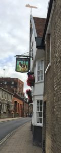
Thames Estuary

Writing about the Thames Estuary is not easy, because so much has been said already: The Thames Estuary Library, for instance, lists no less than 21 topical books (one very good example of the genre is Rachel Lichtenstein’s Estuary), and that isn’t even exhaustive, since arguably Pete May’s The Joy of Essex also qualifies. Recently I was also browsing in a second-hand bookshop with a well-stocked local history section, and found yet another example from 1981, which appears to be largely forgotten: Estuary: Land and Water in the Lower Thames Basin by A. K. Astbury, which I immediately bought because it’s preface is amazingly grumpy:
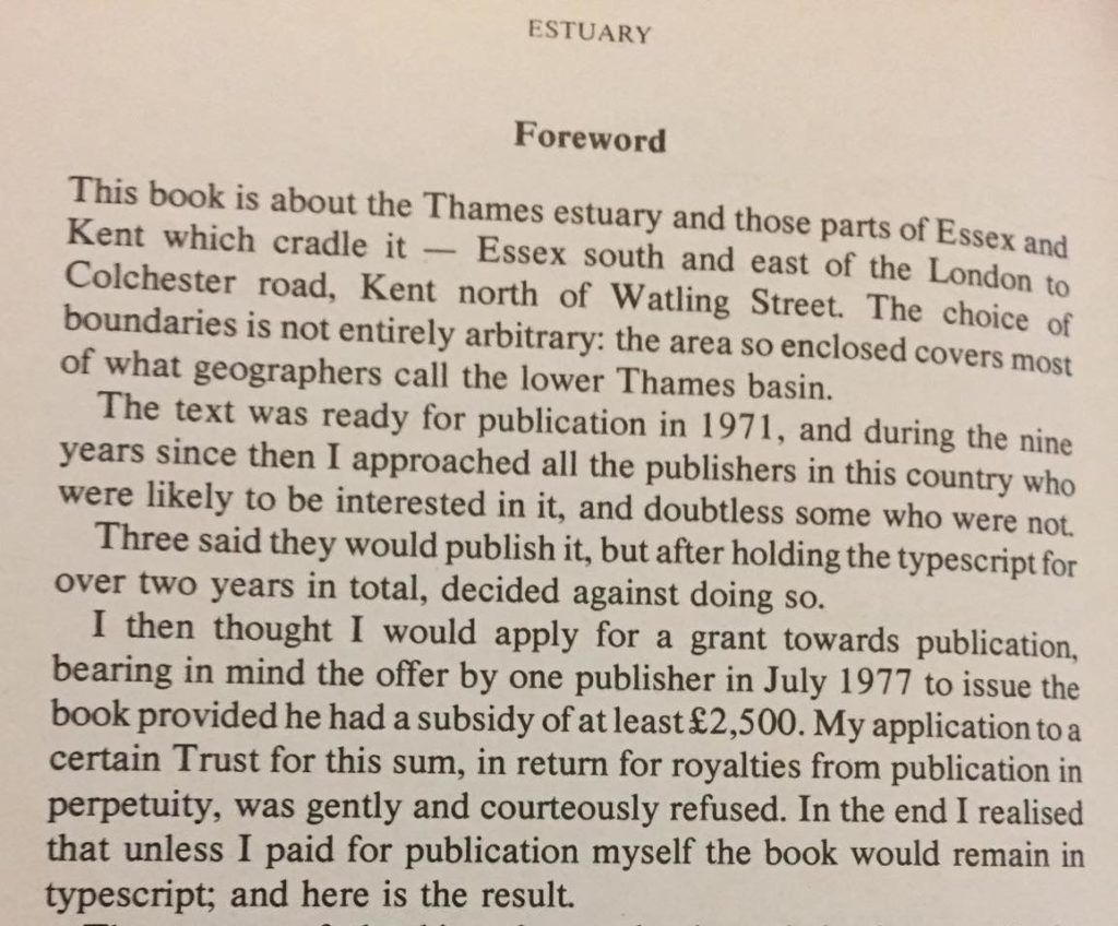
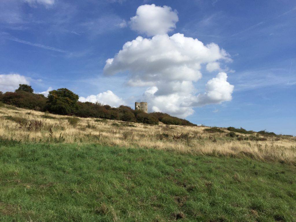
In the face of this vast amount of existing literature, all I can offer here are some notes on the Essex side of the Estuary, which are largely based on a walk along parts of the Thames Estuary Path this summer. While some stretches of this path are probably more to the liking of enthusiasts, the four miles from Leigh-on-Sea to Benfleet should be able to please everyone, as they are beautiful in a traditional sense, and include the ruins of castle on the way:
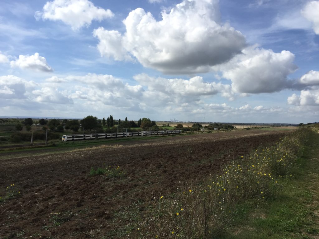
Train fans can be satisfied as well, since the footpath runs parallel to the c2c-line to Shoeburyness, and the more industrial parts of Essex are visible in the distance:
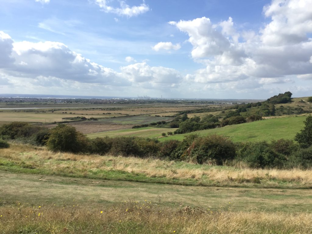
Soon I arrived in Benfleet, the gateway to Canvey Island. For some reason my feeling was that Canvey is an exciting and mysterious place, although at the time, apart from having heard the name and looking it up on a map before, I did not know anything in particular about this Estuary island. Unfortunately my plans for the day did not allow me tome for an actual visit and I continued to walk towards Pitsea, but later I did some research, and was not disappointed. I came across the film Oil City Confidentialwhich tells the story of the band Dr. Feelgood, whose founding members were from Canvey Island. The film contains many great shots of the area and also tells the history of Canvey, which includes event such as the flood of 1953. I can highly recommend checking it out, and hope to explore Canvey Island in real life soon.

During this research I also looked into other Estuary islands, and learned some surprising facts about the Isle of Sheppey on the Kent side. In 1974 the writer Uwe Johnson, who was originally from East Germany but eventually fled to the West, moved – to the surprise of his friends, apparently – to Sheerness-on-Sea, in order to overcome writer’s block while working on his novel Jahrestage. He lived there until his death in 1984, and wrote a couple of essays on the people and their lives on Sheppey. The most memorable one is about the SS Richard Montgomery, an American war ship which sank near Sheerness in 1944 while carrying 1,400 tons of explosives, which – until this day! – are lying on the bottom of the Thames, since recovering the explosives was judged to be more dangerous than leaving them there.

A couple of years ago the BBC produced a radio feature about Johnson in Sheerness which includes translated excerpts from these writings, otherwise they are available in German. One reason I enjoyed learning about this story is that I always like to hear about Germans with an unexpected connection to this part of England, even if, to be fair, Kent is not exactly East Anglia anymore. (The absolute hero in this field is of course W. G. Sebald, about whom I might write more in the future.) As it happens I have never read any of Johnson’s novels, but will probably do so in the new year.

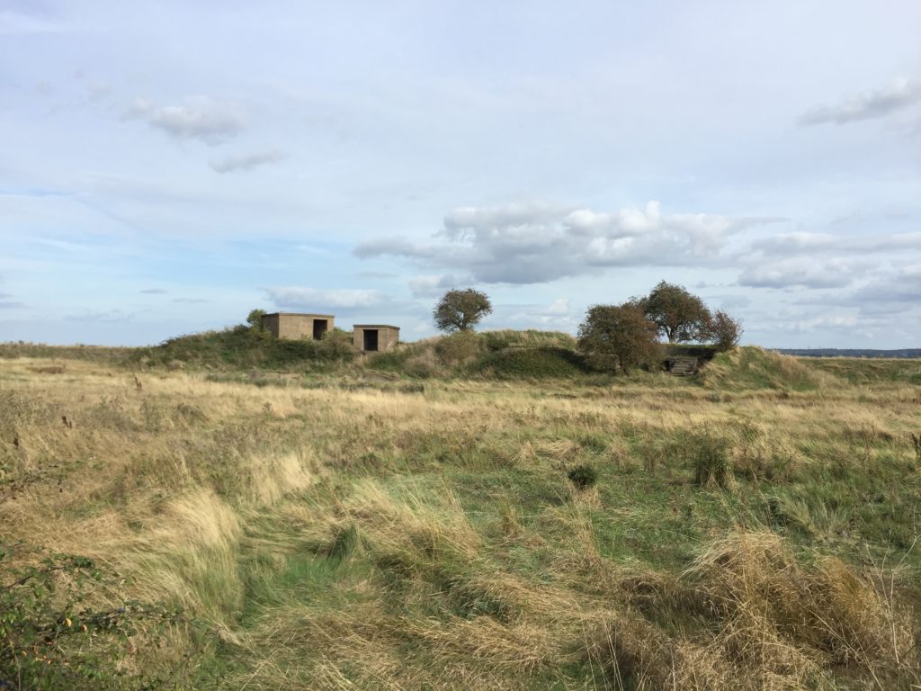
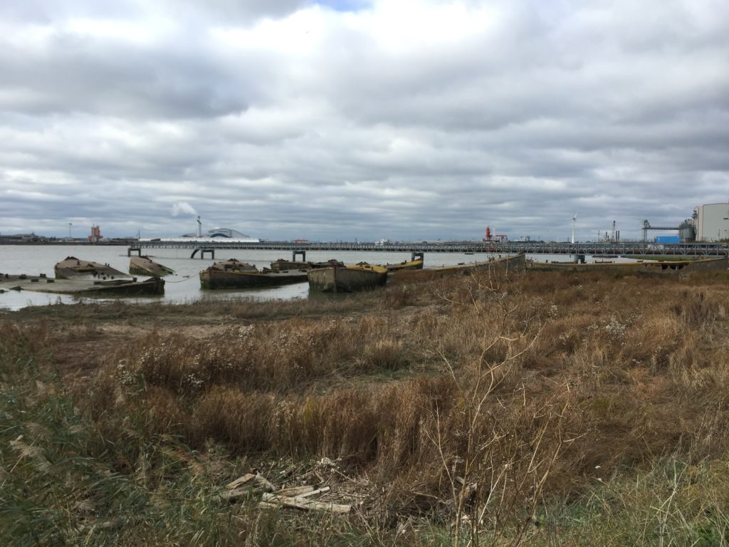
Back to Essex: Remnants of the second world war can be found here too, such as these bunkers (between East Tilbury and Tilbury) and a number of concrete barges (near Rainham):
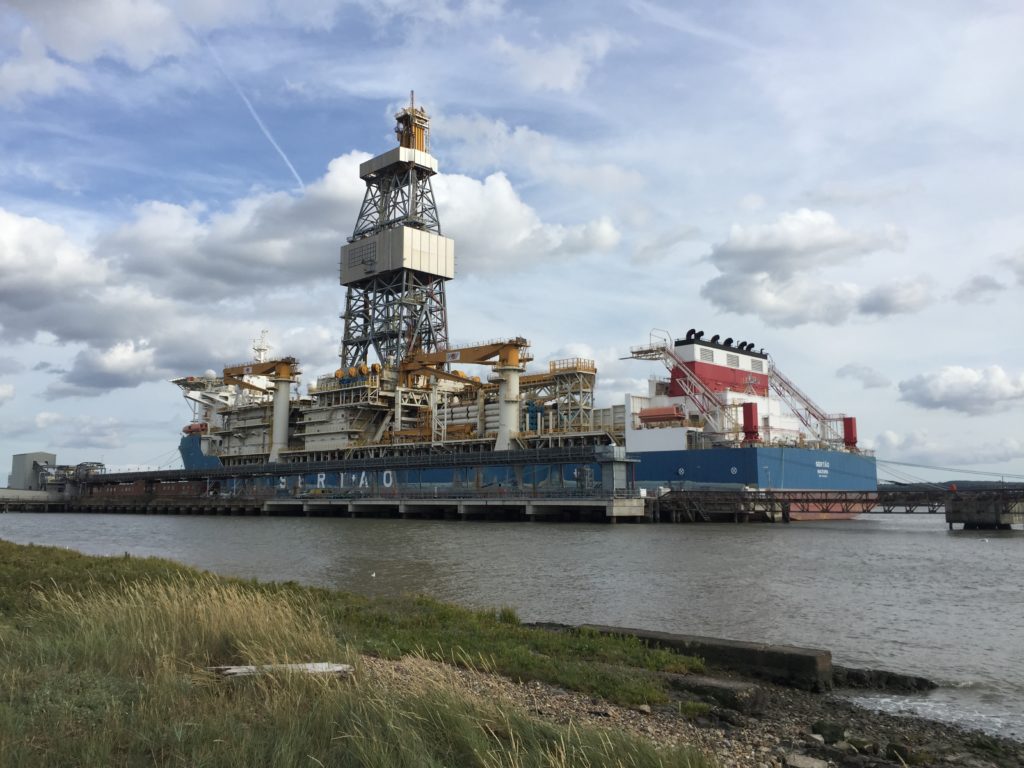
As I approached Tilbury, the atmosphere changed. Industrial smells became noticeable, and a strange humming noise could be heard, the source of which turned out to be this gigantic ship, which, so I learn later, does deep offshore drilling:
I also paid Tilbury Fort a visit, but couldn’t enjoy as much as I would have liked since by that I was very hungry, and unfortunately there is no café. After quite a long day of walking I was then pleased to be back on a train, which brought me to London Fenchurch Street – for the first time ever, since in the morning I had used one of the (few) c2c trains that start at Liverpool Street. Now I had to walk to the latter station to get back to Cambridge, which meant navigating the City of London. I found this very difficult, since the street layout is confusing, Google Maps mysteriously didn’t work properly, and walking in the shadows of various skyscrapers while all the shops are deserted because of to the weekend make for a strange and creepy atmosphere. (So far I have yet to see the City in action on a weekday). I eventually made it, and happily boarded the train back home.
North Norfolk Coast

In April my parents came to England to visit me, and since they drive I wanted to use this opportunity to go to some locations that are not so easy to reach by public transport. Based on a previous visit to Cromer and Sheringham (which are accessible by train) I had already formed a favourable opinion of the North Norfolk coast, and thus we embarked upon a more elaborate tour of this area: Inspired by Sir John Betjeman we would start in Hunstanton, then work ourselves east towards Holkham Beach and Wells-next-the-Sea, and then end the day in Sheringham and Cromer. (Let me note that it is not impossible to explore this route by public transport, since there is the Coasthopper bus service.)

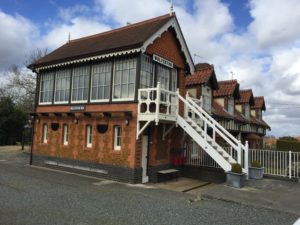
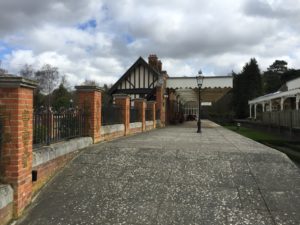
On the way to Hunstanton we visited Royal Wolferton station – a now disused station which Queen Elizabeth (and presumably former monarchs as well) used to disembark at in order to go to Sandringham House for Christmas. Nowadays the whole line from King’s Lynn to Hunstanton is no longer in operation, and the Queen has to take a regular Great Northern service to and from King’s Lynn (first class though). Nevertheless, the former royal station is persevered beautifully:

It is now privately owned, but the owners try to open the platform for visitors between 12 and dusk – unfortunately we were a bit too early for that.

After this promising start we then made it to Hunstanton, which was not quite how I imagined it to be. The impression of the sea was somewhat overshadowed by the concrete promenade, the smell of frying oil and the flashing lights and sounds of various pleasure rides – we were quite excited about the (apparently famous) Wash Monster though. The only picture I have is of a Postman Pat kiddie ride: 

This is because as a child I was really enthusiastic about these rides, especially the music. To my knowledge they didn’t exist in Germany, but could be found in Denmark where we used to go on holiday (Postman Pat is called Postmand Per there). I have never seen any episodes of the actual TV series though.

About 30 minutes after paying for parking we decided to venture on, our destination being Holkham Beach. I had heard that this is one of the nicest beaches in Norfolk, so our hopes were high. Also, I had seen shots of it while watching Kingdom, a TV series with Stephen Fry set in Norfolk, which is sometimes kind of funny, and does make the beach look impressive indeed.

We enjoyed the drive there along the narrow but very scenic coastal route, on which nevertheless caravans are transported:


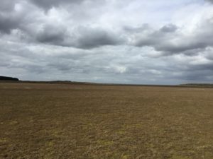
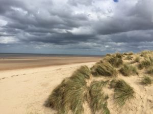
We weren’t disappointed by the beach itself either. It is vast and it took us a while to actually see any water.

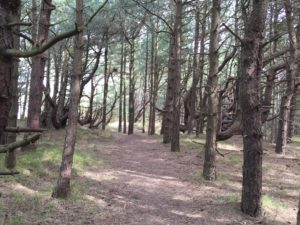
From Holkham it is not far to Wells-next-the-Sea, which I had decided should be our next destination. It would have been very nice to walk there along the beach, however here a drawback of travelling by car became apparent: Eventually one always has to go back to where one parked it. Because of this, in the end only I walked, whereas my parents went back to the parking lot, the plan being to meet up again at Wells. Along the coast there are pine trees, which I really enjoyed since they are not so common in East Anglia, and – like Postman Pat – once again reminded me of previous childhood holidays in Denmark.

I was reunited with the parents in Wells. Since the town was very crowded we decided not to stay there for longer after all, but to continue eastwards to Sheringham. There the principal goal was to have cream tea: On a previous visit I had been to a tea house there and thoroughly enjoyed it, and I had stressed this fact to my parents in order to make going to the Norfolk Coast more desirable. Consequently there were high expectations.

I had not checked in advance until when the relevant cafe was open, which proved somewhat unfortunate now, since we arrived there at 3:45pm, and closing time was 4pm. The cream tea we had could therefore not be enjoyed to the extent it would otherwise have been possible, given that we only had 10 minutes and were surrounded by people cleaning up. This experience made my parents wonder whether our first stop in Hunstanton had been such a good idea.

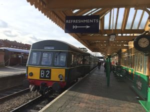
Luckily the rushed cream tea incident did not dampen the mood, since Sheringham has much to offer (I am such a big fan that I even own a Sheringham poster). There is the North Norfolk heritage railway, for instance, which I had the pleasure to actually use not long after the trip currently under description:

Sheringham Park also deserves a mention, though we did not visit it on that day either:

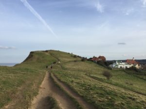
What we actually did was to walk along the coast a bit, which features good cliffs. Particularly interesting is the Beeston Bump, a hill which apparently inspired Conan Doyle when writing the Hound of the Baskervilles.

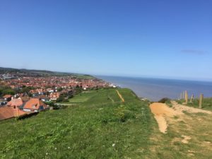
The view from up there can also be recommended:


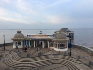
After wandering around for a good while we went to a pub for dinner. After some discussion it was decided that we also briefly check out Cromer before heading home again. The sun was already setting, but I have a daytime picture from another time which provide a good impression of Cromer’s Victorian pier:

It even won the Pier of the Year award by the National Piers Society in 2015.

Of course no visit to the seaside would be complete without going to an amusement arcade, and for sure I did that as well. Since this was not too different from experiences described previously I will close without further elaboration though. Despite some complications this tour along the North Norfolk Coast was a pleasant experience overall.

Devil’s Dyke

In October C. visited me in Cambridge, and naturally we wanted to see some of the highlights of the region. After considering different options we decided to walk Devil’s Dyke – a “linear earthen barrier” in the east of Cambridgeshire, on the border to Suffolk. (There is another Devil’s Dyke in Sussex).

Devil’s Dyke is notable since it is larger than the other dykes found in Cambridgeshire, and it is already referred to in the Anglo-Saxon Chronicle. Despite its fame, I was concerned whether C. would actually enjoy the walk, since she is generally less enthusiastic about flat landscapes than I am, and furthermore the pictures on Wikipedia made the dyke look pretty boring. Luckily these worries proved to be unwarranted.

We went to the station and took the train to Dullingham. The train was packed with elaborately dressed people, who presumably were on their way to Newmarket for the horse racing. We also regretted not having chosen different clothes, since we had prepared for a fresh autumn day whereas in fact the day turned out to be unusually warm for this time of year.

From Dullingham we walked to the village of Stetchworth, through a street called Tea Kettle Lane:

From there we followed a footpath that brought us to Devil’s Dyke. The actual start of the dyke is about a mile further south in Woodditton, but we had to live without seeing the beginning. As the name Woodditton suggests, this part of the dyke is within a woodland, which I hadn’t expected and was a welcome surprise:

We headed north along the dyke, which is cut by a couple of roads we had to cross. At the end of the part of the dyke which is surrounded by woodland it meets the railway line:

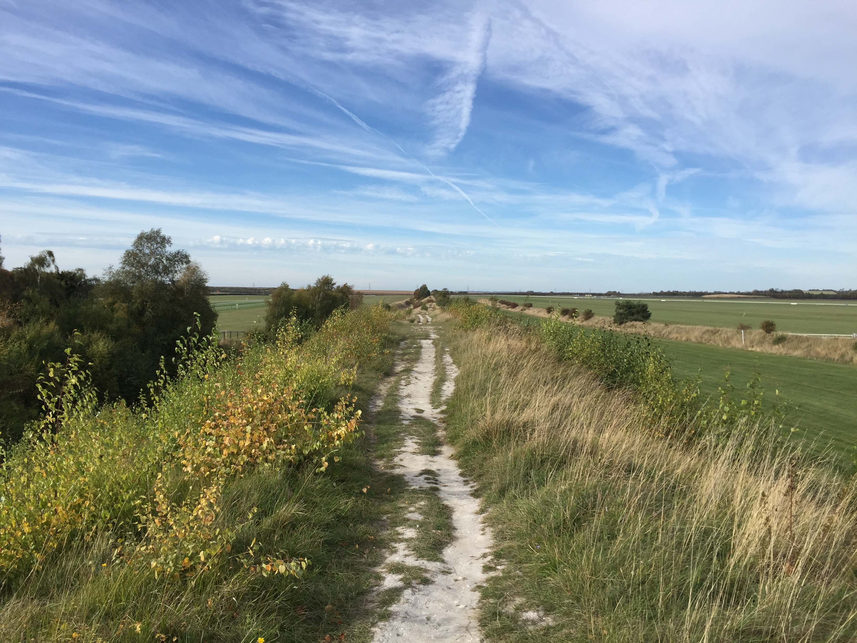
From here on the dyke becomes chalky, and sheep of various colours can be found grazing in the ditch next to it:

A short while later the dyke goes past the Newmarket Racecourse (and for a short stretch the footpath is actually on the racecourse). I found this particularly exciting, since on my first visit to Newmarket I hadn’t made it up to here. This clearly was a racing day, and no doubt some of the people we saw at Cambridge station earlier were now in the enclosure on the other side of the racecourse.

We eventually saw some horses running in the distance and heard them being greeted by the audience. On the dyke there were also several people who had brought binoculars to see some of the race without paying entrance fees.

We continued to head north, and now the landscape became notably flatter.

We also came across a pretty useless gate:

Near the end of our walk, we crossed what the map identified as a disused railway line. I didn’t know what line this used to be, and investigations later revealed that it was the Cambridge to Mildenhall railway (of which I had never heard before). It was closed in 1965; there is a lovely video of the line in action here, which also helpfully points out that building railways in East Anglia was easy since it could proceed “unhindered by geographical obstacles, such as hills and valleys”.

We eventually reached the village of Reach, which marks the beginning of the Fens, and the end of our walk. The local pub is aptly called Dyke’s End, and we had a drink there while waiting for the bus back to Cambridge. Walking Devil’s Dyke had not been boring at all.

A Pier with a Train

In February, Greater Anglia announced the following special offer: For a limited time, they would sell day return tickets on their network for weekday off-peak trains at a rate of £5-£15. This was an opportunity for relatively cheap travel I didn’t want to miss, and since Norfolk and Suffolk are already covered by the Anglia Plus ticket, the obvious thing to do was going to Essex. The most exciting destination on the Greater Anglia network seemed to be Southend-on-Sea, and so I booked a day trip there in late March.

The trip started with taking the train from Cambridge to London Liverpool street, which I don’t usually use. I think the route is much more scenic than that to King’s Cross though, since it runs through the Lea Valley, and as you approach London you get a great view of the skyline of the City.

Liverpool Street is the third busiest station in the UK, but during the weekend and at off-peak times it always strikes me as being surprisingly quiet. I did have the doubtful pleasure of experiencing the rush hour there though, when at the end of our UK tour C. and I caught the train to Harwich there some years ago. Although most commuters had left the train by the time it passed Colchester and we thus were able to sit down, an unpleasant surprise expected us at Harwich International: The evening ferry we had planned to take was fully booked, and so so we needed to spent the night in the town of Harwich somehow.

Harwich (right) from afar.

Luckily we found a pub that rented out rooms with very comfortable beds; sleeping was difficult though since the pub below us was very lively. This unplanned stay in Harwich is also memorable for being the occasion where I had the soggiest chips of my life (so far) at a local chippy!

Coming back to the less remote past, I changed to the train to Southend Victoria, one of the two stations in central Southend. On the (very pleasant) way there we stopped in Billericay, of which I had never heard before, but which for some reason made me feel like knowing more about the place. In a strange way this desire was satisfied a couple of weeks later, when I was looking for a new TV series to watch, and friends recommended Gavin & Stacey  – not only very entertaining, but about a family from Billericay (although the scenes supposedly taking place there were actually filmed in Cardiff).

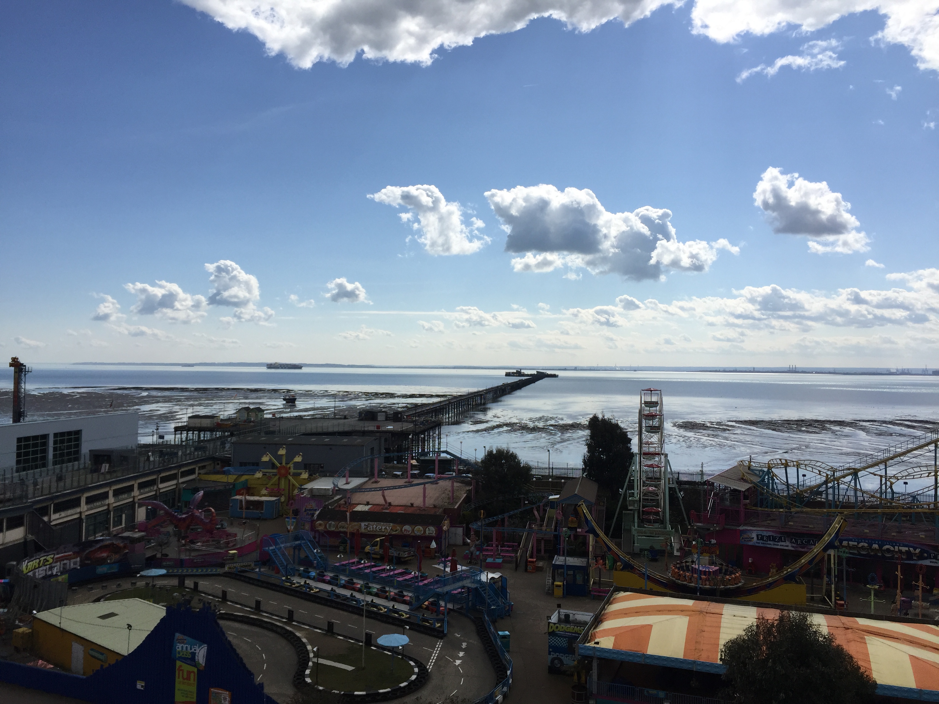
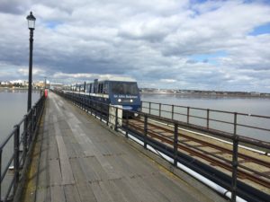
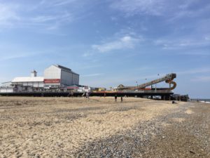
Having arrived in Southend, I made my way to the most famous local attraction: the largest pleasure pier in the world, as seen in the title image. It is so long it even has its own train, which is named after Sir John Betjemen:

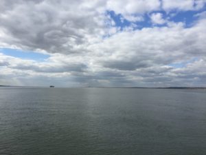
The train was just about to leave as I arrived at the pier, so taking the ride was both convenient and enjoyable. At the end of the line I could then enjoy the Tabes Estuary in all its glory:

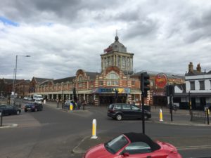
I walked the 1.3 miles of the pier and sauntered along the sea front. Southend offers many places of amusement, such as the Kursaal:

As already mentioned in the post about Great Yarmouth  I am somewhat of an arcade enthusiast, so there was plenty for me to see. As usual I played the penny pushers, but also one of the crane games caught my attention since it featured cube-shaped stuffed animals:

I tried my luck, and managed two win not one but two of the cube-cows, since they were stuck together!

Overall I don’t have much experience with British crane games though, so it was a case of beginner’s luck. A few years ago I played them quite a lot on a holiday to Japan, and there are certain strategies you can apply, but I am not sure whether they would work here.

After this success I walked along the seafront some more in the direction of Westcliff-on-Sea. I have seen Starter for 10, a film whose protagonist is from Westcliff, and I distinctly remembered a scene in which he and his friends are hanging out on a concrete platform at the seafront, so I wanted to see whether I could spot this location. I was unable to find anything fitting this description though, and eventually gave up. Later I learned from the Wikipedia article that these scenes were actually shot in Jaywick (near Clacton).

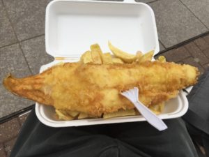
By that time I was very hungry, and thought fish and chips would be an appropriate dinner. I didn’t want to go to some random chippy though (presumably the soggy chips from Harwich were unconsciously guiding me here), and luckily came across this very helpful list of the 10 best fish and chips-shops in Southend created by c2c – the railway company which runs the trains to Southend Central instead of Southend Victoria.

I was very happy with the one I chose, so the day ended well.

Village Pairs

One thing I really like about the local villages is that many of them come in pairs: Two neighbouring villages share one part of their name, but have different pre- or suffixes. A well-known and widespread instance of this are Great/Little-pairs, such as Great and Little Shelford immediately south of Cambridge. I would expect that Upper/Lower pairs are also found more than once, although I haven’t seen such a combination in East Anglia, and can at the moment only think of the Slaughters in the Cotswolds (to which unfortunately I haven’t been yet).

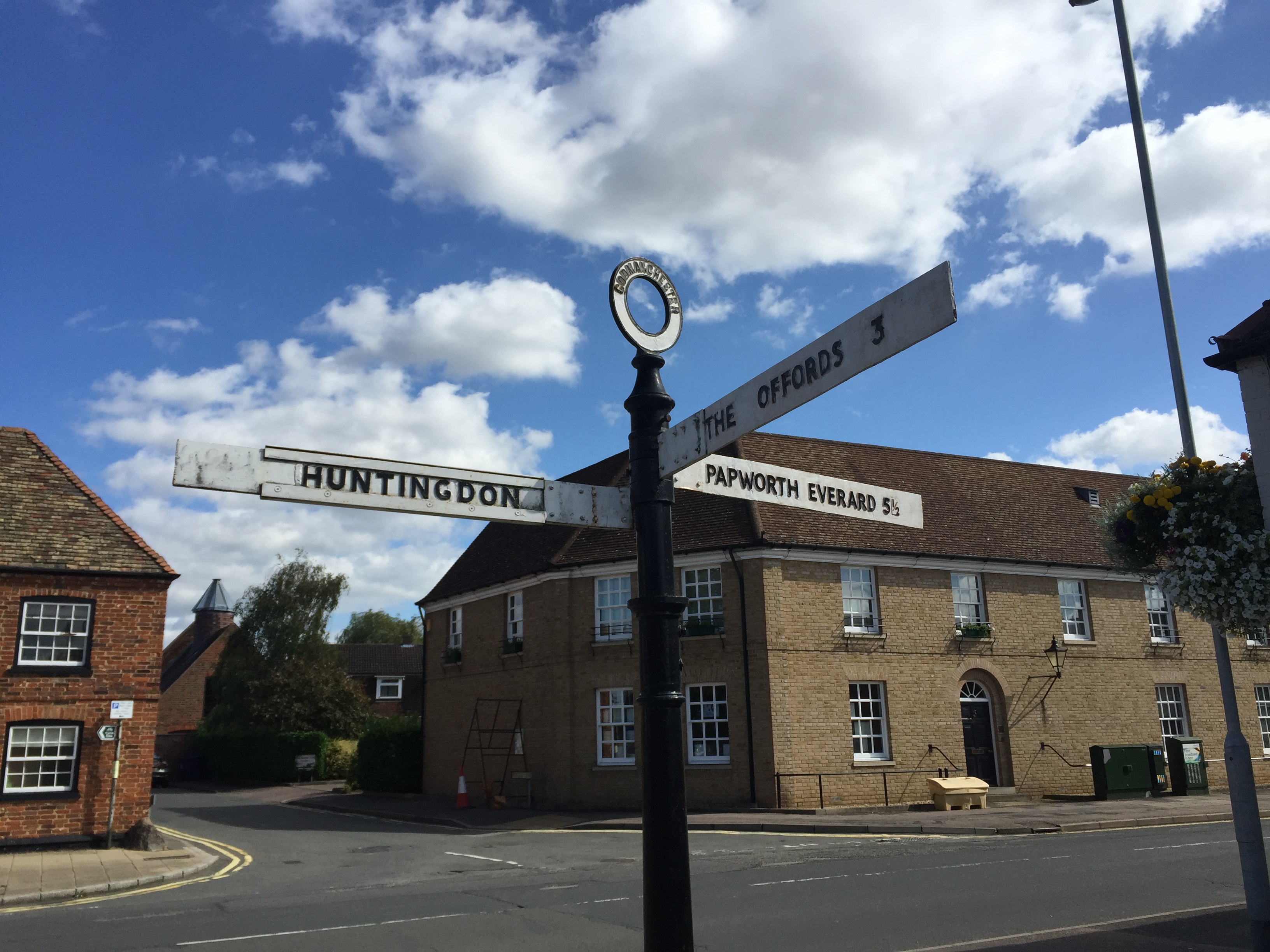
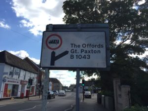
A particular charming aspect is the treatment of village pairs on road signs: They will guide you to the Shelfords, the Mordens, the Offords, etc.

How cute is that? Of course, British road signs are fascinating in many other ways as well. The font that is used is beautiful, and on major A-roads and motorways one can find very general directions like The NORTH or The SOUTHWEST, which I think is an excellent idea. I once cycled through a roundabout one exit of which led to a very busy A-road, and once I saw these signs I knew I should definitely avoid using this exit. (For more on signs and much else I can highly recommend the British Roads FAQ.)

Back to the village pairs themselves though. My favourites are those where the pre- or suffix are quite unusual. The aforementioned Mordens, for instance, are composed not of Little and Great, but of Guilden and Steeple Morden! Individually they are not unique – there is a Guilden Sutton and a couple of other Steeple-villages, but the particular combination seems to be one of a kind. Swaffham Bulbeck and Swaffham Prior, through which I came on my trip to Bury St Edmunds, also deserve a mention.

Even better, in my opinion, are the Offords near Huntingdon, which I came across while randomly looking at a map. They consist of the mysterious sounding Offord Cluny and Offord D’Arcy, and once I had encountered them I immediately decided that I should pay them a visit; a plan I implemented a couple of weeks ago.

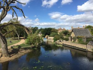
I cycled from Cambridge via the Guided Busway, and passed Houghton Mill and Godmanchester on the way, which are both very pretty:

Godmanchester is worth mentioning given the topic of interesting names, since it used to have a rather unintuitive pronunciation: It was traditionally known as GUM-ster, which clearly beats Worcester in terms of unexpectedness.

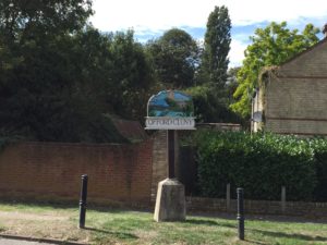
I then cycled through both of the Offords and captured their village signs: 

Apart from the signs, I have not that much to report about the Offords. They are right next to the East Coast Main Line, which is cool if you like trains. The area is quite hilly by Cambridgeshire-standards, on that day it was also very windy, and the road also didn’t have a cycle path, so the overall situation was more challenging than anticipated. It was good to have seen the Offords nevertheless.

After the trip, I tried to find out more about how exactly the names emerged (relying mostly on Wikipedia: 1, 2, 3). In the Domesday book, there are two entries for the Offords (with different owners), however both are about Opeforde / Upeforde, so it is not quite clear whether there was already a distinction between the two villages or whether they were regarded as one. The one entry gives the monks of Cluny Abbey in France as the owners though, which explains the one name. The name Offord Darcy is apparently documented for the first time in 1279, but nothing seems to be known on it’s origin.

I also looked into whether there is any literature on the phenomenon of village pairs more generally. The obvious place to look was the journal of the English Place-Name Society, where I indeed found an article called “Do –ingas place-names occur in pairs?” by Susan Laflin. I even found a PDF of it on the homepage of the author, however the pairs that are discussed there have a different naming-style from the ones I wrote about here.

Let me close by mentioning some other place-name facts: In Hertfordshire there is a village called Nasty, and not far from there, in neighbouring Essex, is a village called Ugley. And did you know that there is another place called Cambridge (on another River Cam) in Gloucestershire, which is pronounced differently from the more well-known Cambridge?

On a Winter’s Day

December can be a grim month. The many hours of darkness between sunset at 4pm and sunrise at 8am can wear down the best of us, and me in particular. What is one to do then on a cold, drizzly Saturday in winter to lift one’s spirits? Visit a railway museum, of course. I don’t remember how I first heard about the East Anglian Railway Museum, but it cannot have been long since I moved to Cambridge in October. I thus decided to seize the day and make my way to the village of Wakes Colne, where the museum is located.

Fortunately, one can reach it by train. It is not that convenient, however, and we will soon learn why. Although Wakes Colne is only about 40 miles away from Cambridge, it takes nearly two and a half hours, and four different trains, to reach it. I didn’t mind this though, since I was new to the region and thus very keen to use as many different lines as possible. After changing at Ipswich and Colchester, I reached Marks Tey, where the branch line to Sudbury starts and terminates. This is an especially cute line, since there is a single carriage train that goes back and forth between Marks Tey and Sudbury, via Chappel and Wakes Colne and Bures (the latter has only very recently, after I visited, been made a request stop). The very last train of each day goes all the way back to Colchester, in order to go to sleep in the depot.

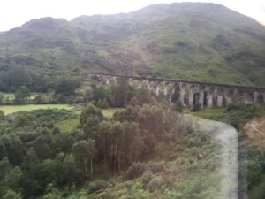
Just for the sake of completing this line, I didn’t alight at Chappel and Wakes Colne first, but stayed on the train until Sudbury and then got out when the train was on its way back to Marks Tey. One notable feature of this line is the Chappel Viaduct, of which stunning pictures can be found on Twitter. One less good feature of this viaduct, however, is that it is on a completely straight stretch of track, so that it is not possible to observe its beauty while on the train. In this respect, the famous Glenfinnan Viaduct in the Scottish Highlands is much preferable, since it is on a curve:

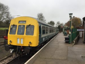
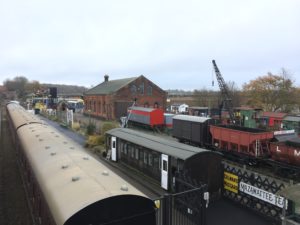
Be that as it may, after all this travelling I had finally arrived at the actual museum, and could enjoy the sight of even more trains:

The museum is not big, but has everything one would expect: Locomotives and carriages, sheds and and a signal box, model trains, lots of signs and other railway memorabilia. At the far end of the premises are some unspectacular looking buildings, and a sign informs me that they used to be army barracks, which were donated to the museum some years back. Here a small exhibition about the history of railways in East Anglia is housed, and this brings us back to the topic of how arduous the journey from Cambridge to Chappel and Wakes Colne is nowadays.

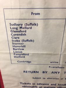
As it turns out, there used to be a direct line, the so-called Stour Valley railway. Here are the former stations from Sudbury onwards:

Sadly, this stretch was closed in 1967, and since then only the short branch line from Sudbury to Marks Tey remains. Remarkably, someone made a film of the last train from Cambridge to Haverhill, which in the meantime found its way to YouTube:

It is regrettable for many reasons that this line is no more. For once, it would have been much easier for me to get to the museum if it were still in operation. Furthermore, it would make visiting the village of Linton more convenient, which is famously the home of Linton Travel Tavern – equidistant between London and Norwich!

I started to mourn the closure of the Stour Valley railway even more when, a couple of month after this trip, I learned about the TV series Lovejoywhich portrays the adventures of an East Anglian antique dealer. Many episodes of this show, which apparently “put East Anglia on the map”, are set and were filmed in and around the attractive-looking villages of Long Melford and Lavenham. This naturally made me curious and I would like to explore this area, but nowadays it is quite difficult to get there by public transport, so I haven’t been able to make the trip yet. (Now that I have a bike this has become more feasible though).

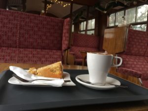
Having wandered through the ground and the exhibition of the museum to my satisfaction,  I went to have coffee and cake, which can be consumed in a comfortable old railway carriage:

Pleased with the trip, I then went to the platform to wait for the first of many trains that would bring me back to Cambridge.  One surprising fact that I only learned about after I returned is that the britpop band Blur – which I really like –  played their first concert in 1989 in the goods shed of the Railway Museum! There is even a plaque to remember this important event, which I failed to spot on my visit. (They also came back for a concert in 2009). One should keep in mind that Blur are from nearby Colchester though, so this coincidence is not quite as strange as it may seem at first.

A Trip to the Seaside

I sometimes ask people whether they want to join me on a trip, but usually no one wants to come. I was therefore very happy when my friend T. agreed to accompany me on a trip to Great Yarmouth in May. The plan was as follows: First we take the train to Norwich, then change to the Yarmouth-train to get off at Berney Arms, a tiny railway station that is known for being in the middle of nowhere. Then we would walk from Berney Arms to Great Yarmouth, through the Norfolk Broads along the river Yare, and have a nice time at the seaside. And that is precisely what we did.
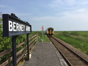
The journey to Norwich went smoothly, and we caught the required train. There are two railway lines to Great Yarmouth, and Berney Arms is on the one which is less frequently used, so it was important to get this particular connection. It is also a request stop, so the conductor had to be informed about our wish to disembark. Although our train was by no means very long – only two carriages – the platform at Berney Arms is so short that only the very first door can be used! A surprisingly large crowd got out there as well, about 5-6 people.

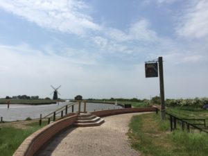
Even T., who is not exactly a railway enthusiast, was duly impressed by the smallness and remoteness of the station, and pictures were taken accordingly. The footpath from the station leads to a windmill, and there also used to be a pub called Berney Arms. Unfortunately that has been closed for a few years; in this video the previous owners are interviewed, which amazingly moved there from Birmingham. Since going to a pub is more appropriate at the end of a walk rather than its beginning, the closure of the pub was no great inconvenience to us though.

T. and I made out way towards Great Yarmouth along the Wherryman’s Way, which is a distance of about 6 miles. (If you walk into the other direction you get to Reedham, which has a swinging bridge). The terrain is Norfolk at its finest and flattest, we could see the windmill we started at until the very end of the walk. Since we were close to the sea it was also quite breezy, and given that there were no hills or trees T., whose ears are sensitive to cold wind, suffered a bit. This could easily have been prevented by the presence of a cap or a hat, but neither of us had brought one.

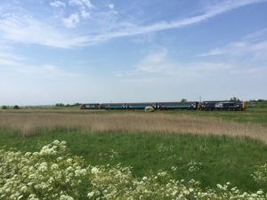
We passed some more windmills, and Great Yarmouth, which is stretched out along the coast, started to look bigger and bigger. Our way met the railway line again, near the junction where the two lines to Yarmouth join. Here another train highlight could be observed: Two class 37 locomotives moving three carriages, which Greater Anglia uses on some lines:

It is astonishing how noisy these locomotives are; the sound could leads one to believe that an invisible helicopter is starting somewhere! (This is captured well here).

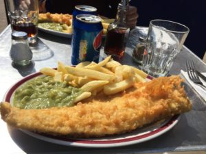
After arriving in Great Yarmouth we looked for some well-deserved lunch. We opted for fish and chips, and found a nice-looking place, where we were at first slightly overwhelmed by the many choices required: Beans or peas? – If peas, mushy or garden? – Luckily we did thoroughly enjoy the meal we eventually managed to order.

As is usual in seaside towns, many seagulls were around, although here they were relatively harmless, and did not attempt to steal our food. T. didn’t seem to be familiar with seagulls, which might appear strange for someone who has been living on an island for some years. It is explained by the fact that he is from the south of Germany, where the seaside is far away and people tend to prefer mountains anyway.

As a town, Great Yarmouth is certainly quite different in character than Cambridge. There are plenty of opportunities for entertainment, for instance this endlessly vomiting man:

Our attention was caught by the various amusement arcades, and in particular the penny pushers:

I am a big fan of these ever since I first encountered them on a school trip to Clacton-on-Sea – which in retrospect strikes me as a strange place to go to for a school in the West of Germany – where I spent quite a lot of time and money in the local arcade. (If you are not familiar with these machines, this clip can give you an idea). Since then I have learned a lot, and as far as I can see the crucial trick needed to win is not to put in one coin slowly after the other, but to insert a couple of coins in quick bursts. T. and I applied this strategy, and it worked – although I cannot remember now what kind of prize we won exactly, and we didn’t take a picture of our triumph.

[UPDATE: Pictures were taken after all! We won a little solider action figure, and also a plastic ball containing a toy. Thanks to T. for the correction.]

Later we walked around on the beach, where it was quite busy since it was a sunny day. Having done that, we decided to drink a beer at the bar on the pier before heading back to Cambridge again, which gave the day a nice sense of closure.

Full closure was not achieved, however. By coincidence, our train back to Norwich took the less common route via Berney Arms again, and hence I have yet to see the more standard route via Acle, which runs parallel to an unusually straight road. To see it I will thus have to visit Great Yarmouth again – a journey I’m looking forward to.

Beer and Horses

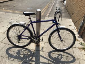
I recently bought a bicycle. As such this is quite unremarkable, since nearly everyone in Cambridge has a bike. In my own case it was unusual though, since for months I had been saying that I don’t need or want a bike, yet a few weeks ago I suddenly woke up with the urge to buy one myself. Some days later I actually acted on this new wish, which doesn’t usually happen either. I proceeded pretty much like the character played by Robert Webb in this sketch: I went to a bike shop, named a price range, and just bought the first bike I was shown. It seems to be working well, the wheels, gears and the chain all do their job.

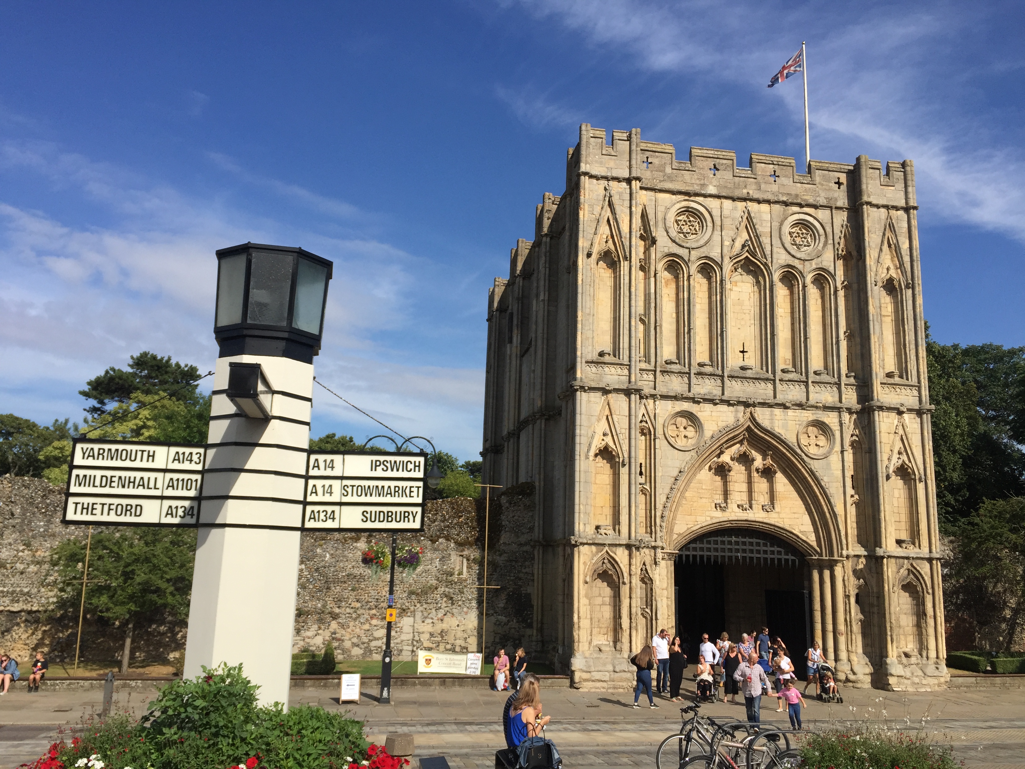
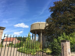
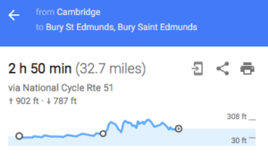
Having got the bike I naturally wanted to go on a proper cycling trip. I was unsure, however, how long a long cycling trip should be, so I asked C. for advice. She said that it should be at least 30-40 kilometres, and I planned accordingly. I then decided to take the National Cycle Route 51 from Cambridge to Bury St Edmunds, via Newmarket. With somewhat more than 30 miles this was the required length, and I was also keen to visit both Newmarket and Bury St Edmunds, which I hadn’t been to before. A particularly interesting attraction of Bury is the Pillar of Salt, Britain’s first internally illuminated road sign, which can be seen in the header image. (Unfortunately, I only saw it during the day, when there was no illumination.)

The cycling route is straightforward to follow, and until Newmarket the ride was pretty easy since the terrain is very flat. There were plenty of small quaint villages on the way, with names such as Swaffham Bulbeck and Swaffham Prior (I really like it when villages come in pairs). In the latter I saw a strange building which struck me as quite mysterious and creepy. It reminded me of the black tower in this short film, but luckily it did not haunt me in the end.

Eventually I reached Newmarket, the town of horses. It actually smells of horses, apart from Exning Road, where when I cycled down into the town everybody seemed to use their Saturday to do laundry. I parked my bike in the centre and walked around a bit, with the aim of eventually eating some lunch. I wanted nothing more than a sandwich, but it was surprisingly hard to find a standard supermarket in the town centre – there was a big Marks & Spencer, which however was closing down for good that very day, and so all the sandwiches were already gone!

In the end I found food, walked around the town some more (not to where the racecourses are though, so horses were only smelled but not seen), and then decided to continue to Bury. The terrain is much hillier from here on, starting with the Long Hill from which one has a good view of Newmarket.

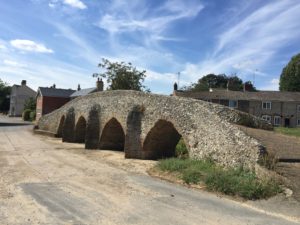
I was not actually able to cycle up most of these hills, but had to get off and push the bike, which is arguably less impressive than cycling. Nevertheless, cycling down the other side of the respective hills is enjoyable. I took a short break in the village Moulton, which has a very nice stone bridge:

In general I found the Suffolk countryside very scenic, I should have taken more pictures but unfortunately didn’t. Finally I reached Bury St Edmunds, which smells of beer, due to the presence of the Greene King brewery. After visiting the aforementioned illuminated road sign and the nearby Abbey Ruins I had a look at the brewery. Unsurprisingly, there is a Greene King pub immediately opposite, which I would have expected to be just called Greene King (surely there must be one where Greene King is not merely the subtitle?).  In fact, however, the name of the Greene King pub closest to the Greene King brewery is Dog and Partridge:

Overall, I’d say that Bury St Edmunds is well worth visiting, and probably more interesting than Newmarket unless one is into horse racing. I was very satisfied with my first proper cycling trip, and, quite exhausted, took the train back to Cambridge.

Welcome!

Welcome to Adventures in East Anglia! My name is Benjamin, I recently moved to Cambridge, and in my spare time I like to go on day trips, which usually involve walking, cycling, or taking trains in some way. Many of these trips lead me to explore Cambridgeshire, Norfolk or Suffolk; the three counties known as East Anglia (although the extent of East Anglia is somewhat controversial). I thought it might be fun to write about some of these expeditions, and thus will try to do so on this blog. Despite the title I don’t plan to strictly restrict myself to the three counties mentioned before, but will probably also write about trips to other parts of the world – Essex and Hertfordshire, for instance, but also more exotic locations.

What is the point of this? Firstly, I quite enjoy reading travel reports myself, and hence am interested to see whether I am able to do some travel writing myself. Secondly, I think East Anglia is often underrated: East Anglia, a. k. a. the Wales of the East, seems to be primarily known for being flat (Cambridgeshire has been called the “billiard table of England“), and flatness is in turn associated with boringness. True, a picture of you climbing a massive rock which guarantees plenty of likes on social media will be hard to come by when walking in Norfolk. Nevertheless, I think East Anglia is scenic and interesting in less obvious ways, and I want to embrace the flatness in the posts on this blog. Let the experiment begin.