Hertfordshire Wanderings

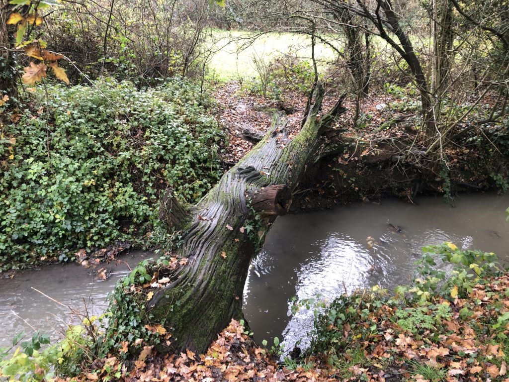
In the autumn of 2019 I went on a number of short walks in the south of the county of Hertfordshire. I found this area appealing since even though it was still the countryside the border to Greater London was close by, and I would frequently encounter the M25 motorway. One of my rambles even followed the very first section of the M25 that opened in 1975, from Potters Bar to South Mimms. Towards the beginning of this walk I had to cross a stream using a slippery fallen tree trunk, which added to the general excitement.
Other Hertfordshire highlights were curious cows, a creepy cornfield, an air rifle shop called ‘Diversity’, and me learning that Stevenage is the UK’s space city.

The most memorable of these walks was longer and started in a more central part of Hertfordshire though. I had developed the desire to visit the city of Watford, which is not easy to explain since it is not generally considered to be a tourist attraction. Maybe the source of this fascination lay in the idiom ”north of Watford”, although it is disputed whether the Watford that gave rise to it is actually the one in Hertfordshire.

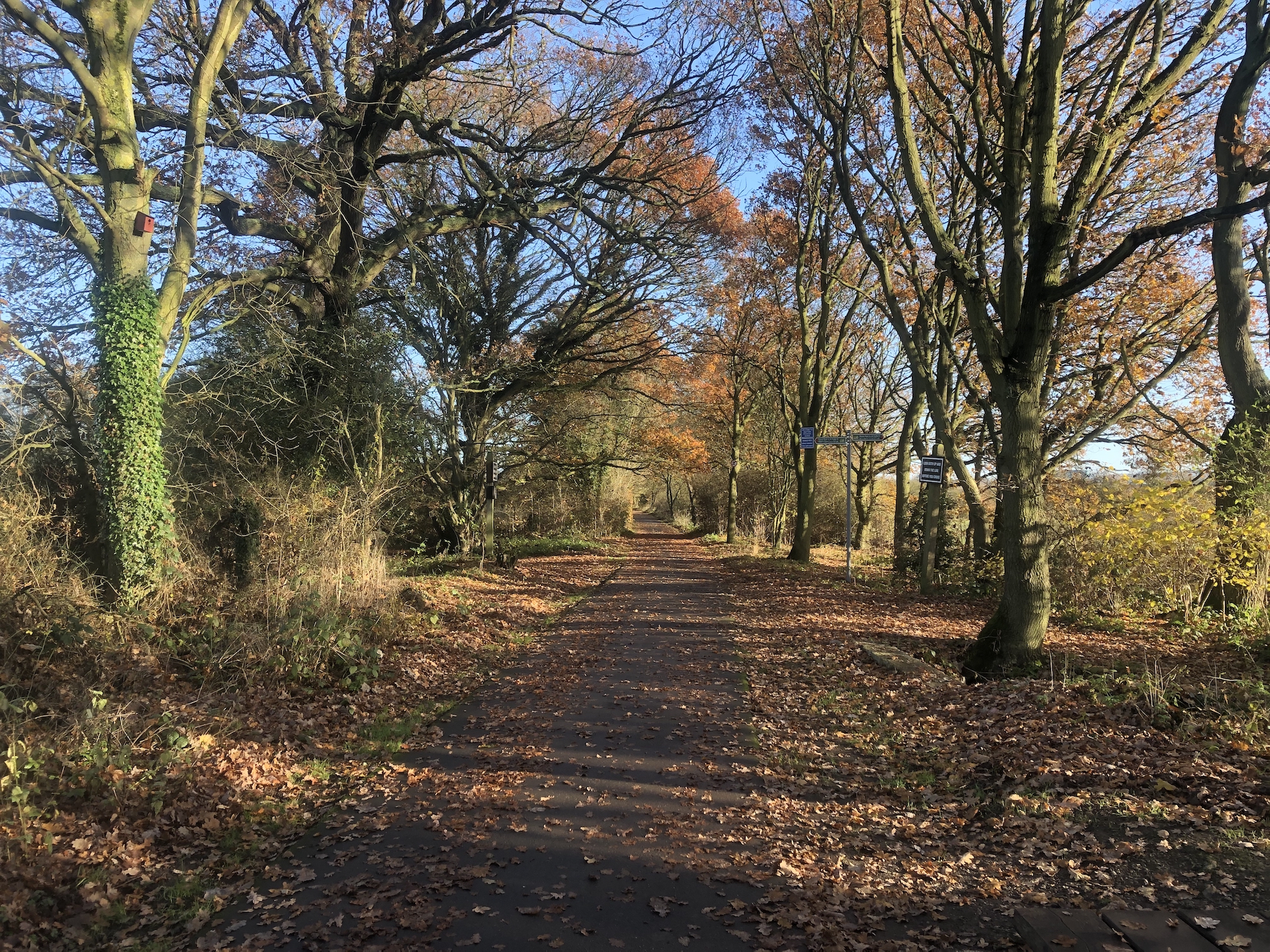
I had also never been to St Albans which, on the other hand, is generally regarded as an acceptable sightseeing destination. I thus reckoned that I could go on a walk that includes both cities. And this seemed feasible in practice as well, by starting in Hatfield and stringing together the Alban Way and the Abbey Line Trail. So off I went.

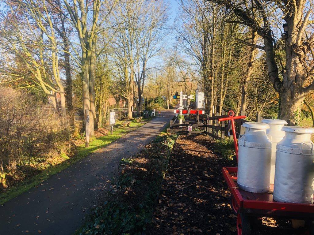
The Alban Way is a hiking and cycling trail that follows a former railway line. The walk began pleasant and uneventful until I noticed a sign indicating a ghost railway station:
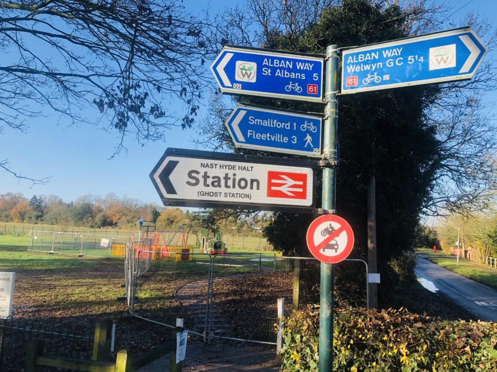
Naturally I was very intrigued by this, and reality didn’t disappoint. Volunteers had rebuilt the former railway station Nast Hyde Halt in a lot of detail, with everything being in place apart from actual trains:
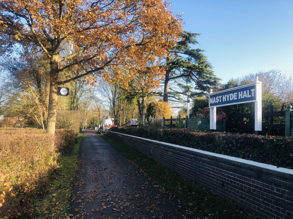
Signs warning about passing ghost trains were found along the way as well. This was a pleasant surprise, which made me glad I had chosen the Alban Way. (Pictures of the original railway station can be seen here.)

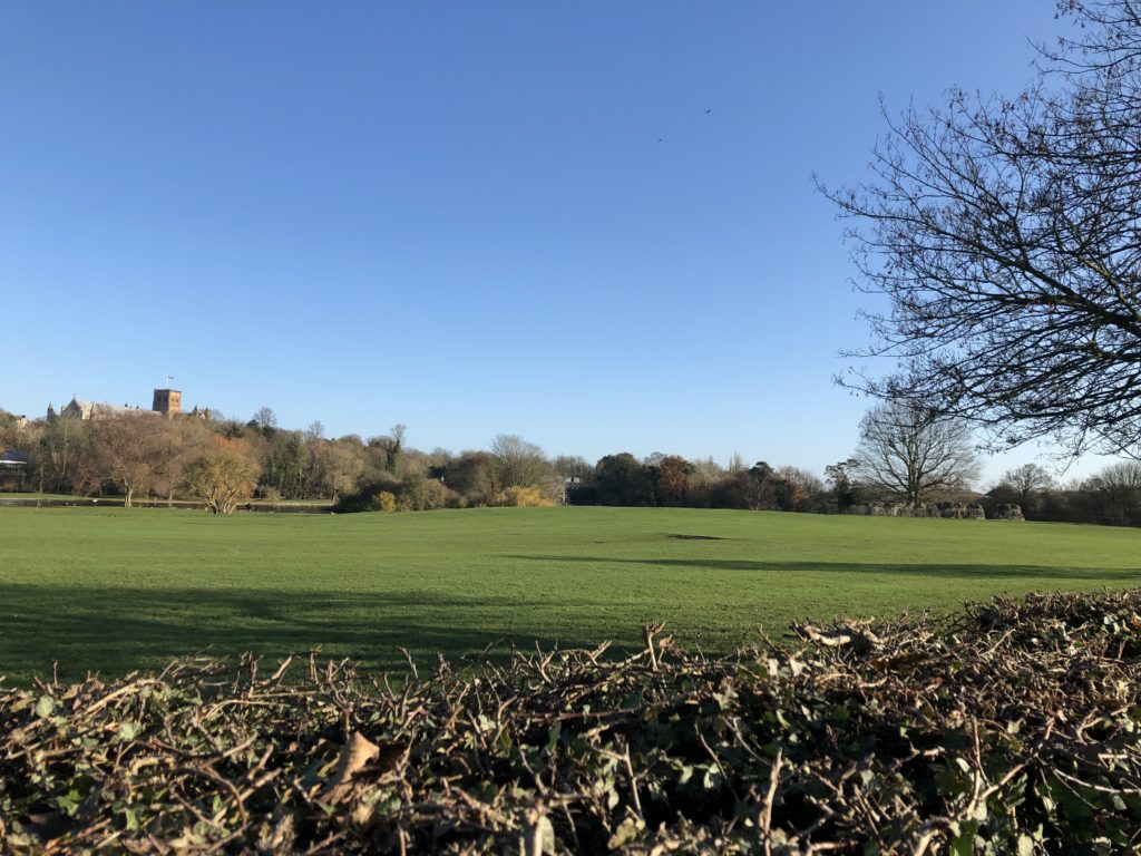
Eventually I arrived in St Albans, and had my lunch break next to the impressive cathedral. It turned out that St Albans had lot to offer: an ‘almost unique’ clock tower, a pub reputed to have accommodated Oliver Cromwell during the civil war, and some remains of the ancient Roman city of Verulamium. The latter brought back some childhood memories, for we used to go on family trips to former Roman towns in Germany, such as Trier or Xanten (the only German city whose name starts with an ‘X’). Not much of Verulamium has remained apart from a couple of stone walls, but walking around the grounds was enjoyable nevertheless.
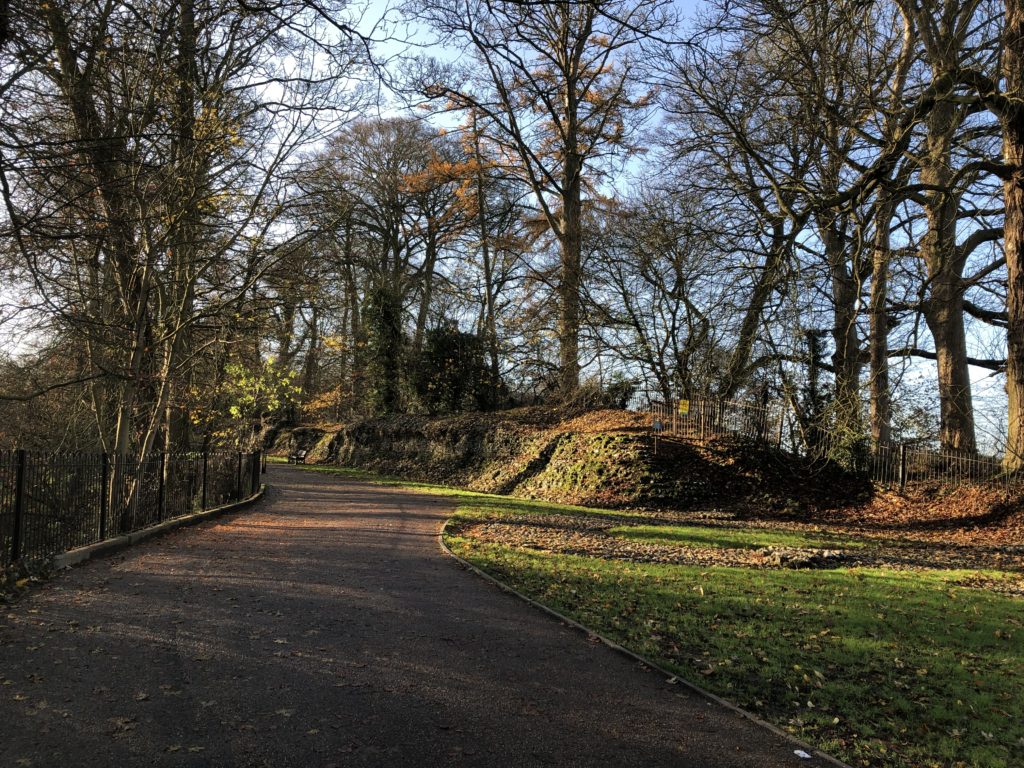
Thanks to these attractions I had spent way more time in St Albans than anticipated, and so continuing all the way to Watford seemed rather ambitious now. I nevertheless started to head south, as the route was parallel to a working railway line, which would enable me to end the walk early if desired.

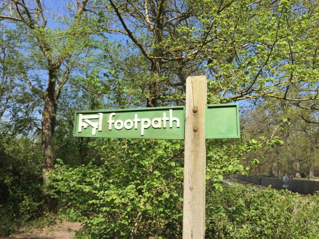
After leaving the suburbs of St Albans behind things got adventurous very quickly. As there had been a lot of rain in the previous days the ground was wet and muddy.  In addition there was a junction with a mind-boggling number of signs pointing in all directions, but the footpaths corresponding to these signs were less easy to make out.
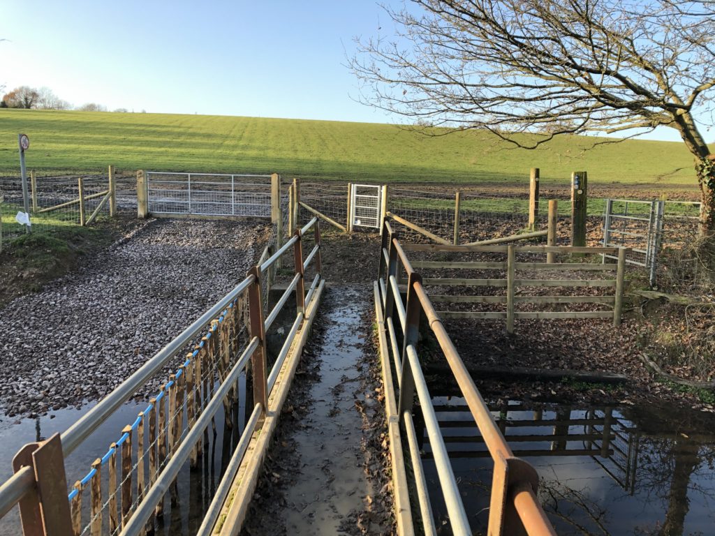
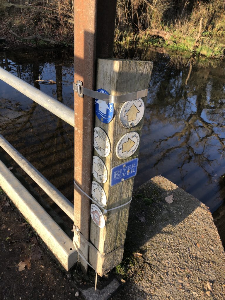
I managed to find the right path, but the mud was a more severe problem, as it only got worse along the way.
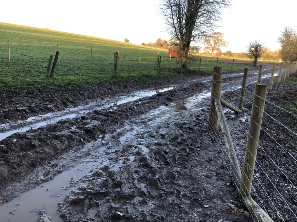
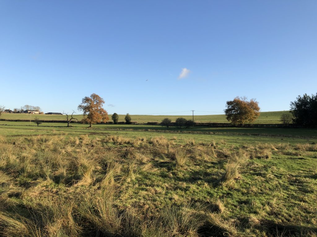
Progress was slow and my feet were wet. I therefore decided to call it a day at the next railway station – Park Street – and take the train to Watford. This was not too disappointing, as Park Street is the least used station in Hertfordshire. Furthermore the last mile was mud-free and very scenic.
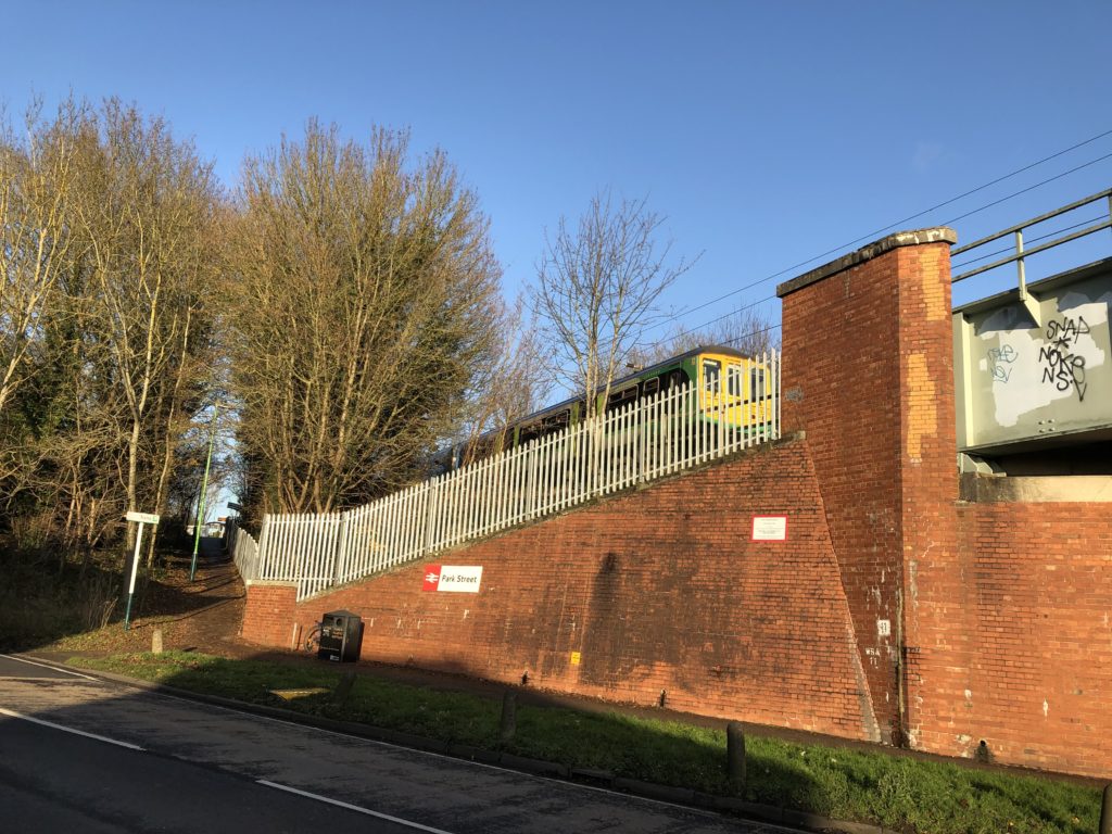
The Abbey Flyer between Watford and St Albans is a cute branch line with only a couple of stops and a very unusual service frequency: the train departs every 45 minutes rather than hourly or half-hourly, which I have not encountered anywhere else so far.

Eventually I thus made it to Watford by rail, where I walked around for a while before making my way home via central London. My impression was that the protagonist of Jonathan Coe’s novel has a point when he says that while Watford is alright, it is not like ”living in Watford, you wake up every morning and think to yourself, Well, life may be a bit shit, but look on the bright side, at least I’m in Watford.” I might come back for further investigations though.
In the Home Counties

The summer has been quiet, but I have been going on some long walks in Norfolk recently, so soon there will be East Anglia content again. Before that I want to end the series of special posts in which Usedom and Scotland were covered with some notes on a walk in Berkshire I did earlier this year. (The title of this post is thus slightly misleading, as only one Home County makes an appearance).

In a sunny week in spring I for some reason felt like going on a walk which included attractions with more mainstream appeal than those I usually visit, and therefore decided to walk from Ascot to Windsor. It takes a while to get there from Cambridge, but since I always enjoy taking a train from Waterloo station the journey didn’t put me off. I had also considered to start the walk in the suburb of Martins Heron, which is one station further down the line from Ascot, as it was used as the location of the Dursley’s house in the Harry Potter films. Although I decided against this plan in the end, I came across a long and detailed article about where the fictional town of Little Whinging is located within Surrey, which is brilliant as it even manages to come up with a plausible explanation of how the protagonists in the fifth volume manage to reach central London by heading southeast.

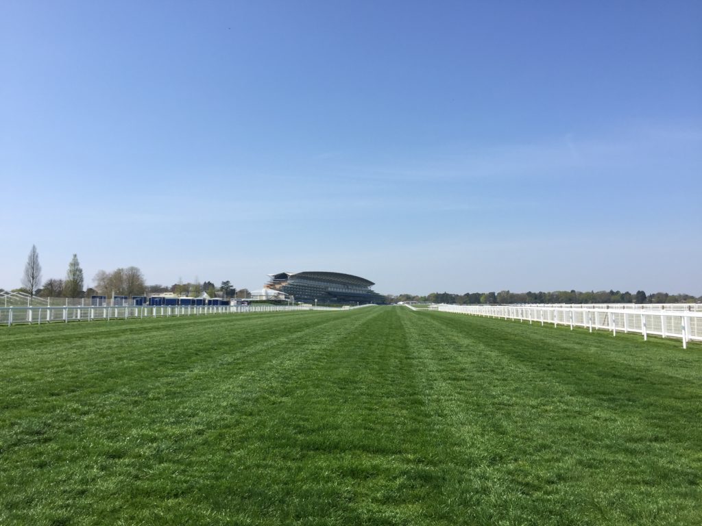
The butcher in Ascot seems to be famous, as there was a large queue leading out to the street when I walked past. I headed for the even more famous racecourse, however, and it turns out that it is actually open to walkers on non-race days.

By now I had been walking for about 30 minutes, and realised that the sun was very strong but I had no sun protection. I therefore decided to quickly walk back to the High Street – where the queue at the butcher was still long – in order to buy sunscreen (since then I have also acquired a hat for unusually hot days). Having done this the actual walk could now begin.

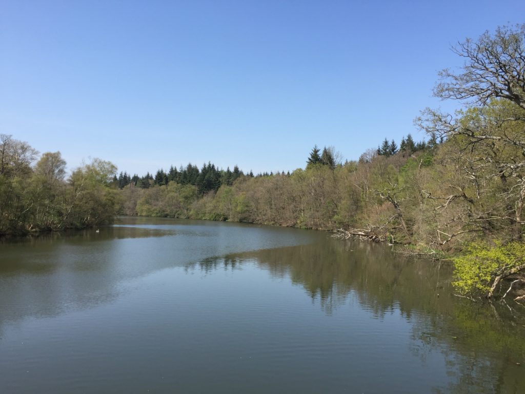
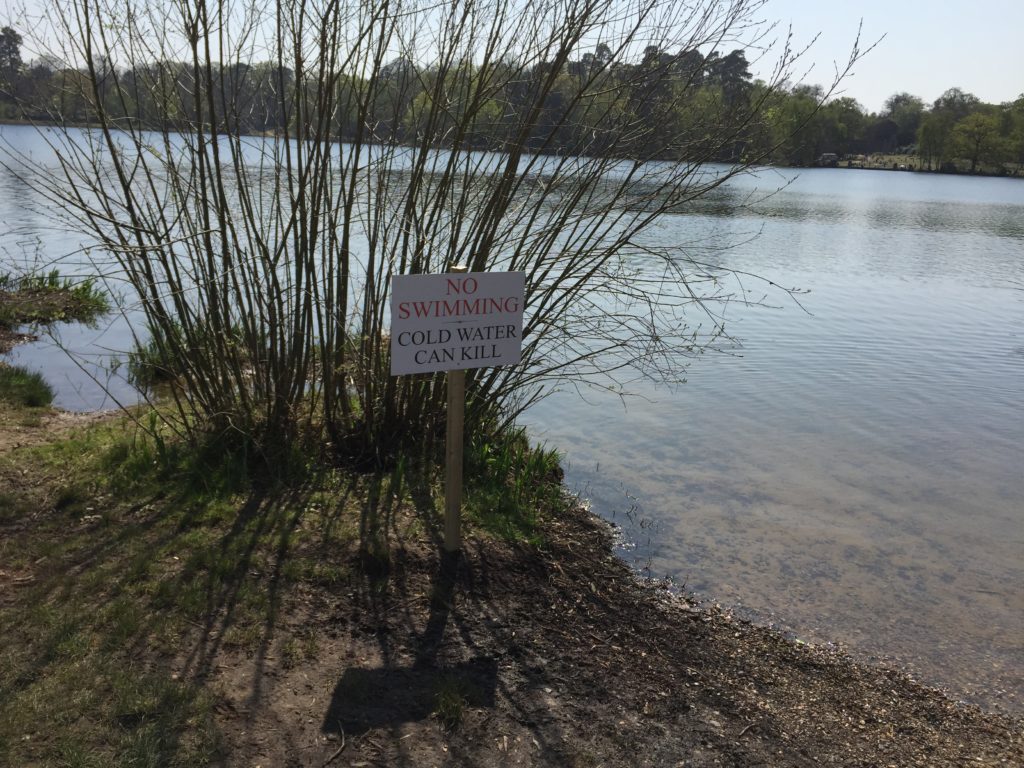
I followed some public footpaths which led me to the entrance of the massive Windsor Great Park (2,020 hectares). From here my first destination was Virginia Water Lake, which I thought had inspired a song by Roxy Music, but later it turned out that I misremembered and the name of the song is actually “Virginia Plain”.

Unusually for my walks there were masses of other walkers around this time. I had expected this and feared that it might be annoying, but apparently few people venture more than 15 minutes away from where they parked their car, and so apart from a few clusters most of the park was actually surprisingly empty. The number of dogs probably even superseded the number of people, some of which had quite unusual names such as “Dustbin” or “Nutmeg”.

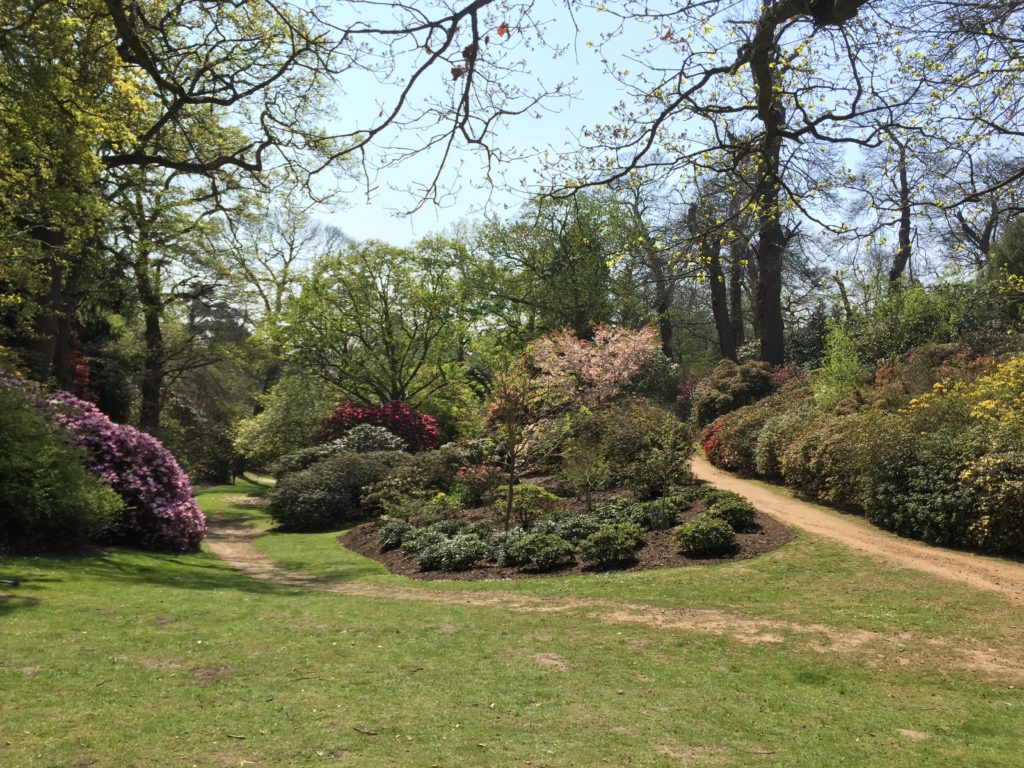
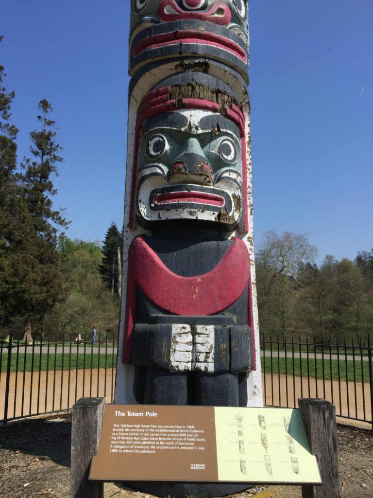
Near the lake there are some nice gardens and a very peculiar pole. I ate my sandwich for lunch, fascinated by the elaborate picnic arrangement of some groups, which reminded me of one of my favourite The Avengers episodes: on a train John Steed announces that since there is no restaurant car him and Emma Peel have to “rough it”, and proceed to unpack a small table, porcelain cups with saucers, different kinds of loose tea in a wooden box, and so on. (I already mentioned this particular episode before – I have seen others too though!)

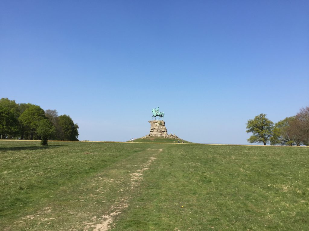
After this break I started to head north to get to the beginning of the so-called Long Walk, which runs in a straight line between Windsor Castle and the Copper Horse – a statue of King George III.

The view from here, which can be seen in the header image, is really spectacular. Straight ahead there is Windsor, and to its right lies Heathrow Airport, so one can watch planes landing and departing in rapid succession.

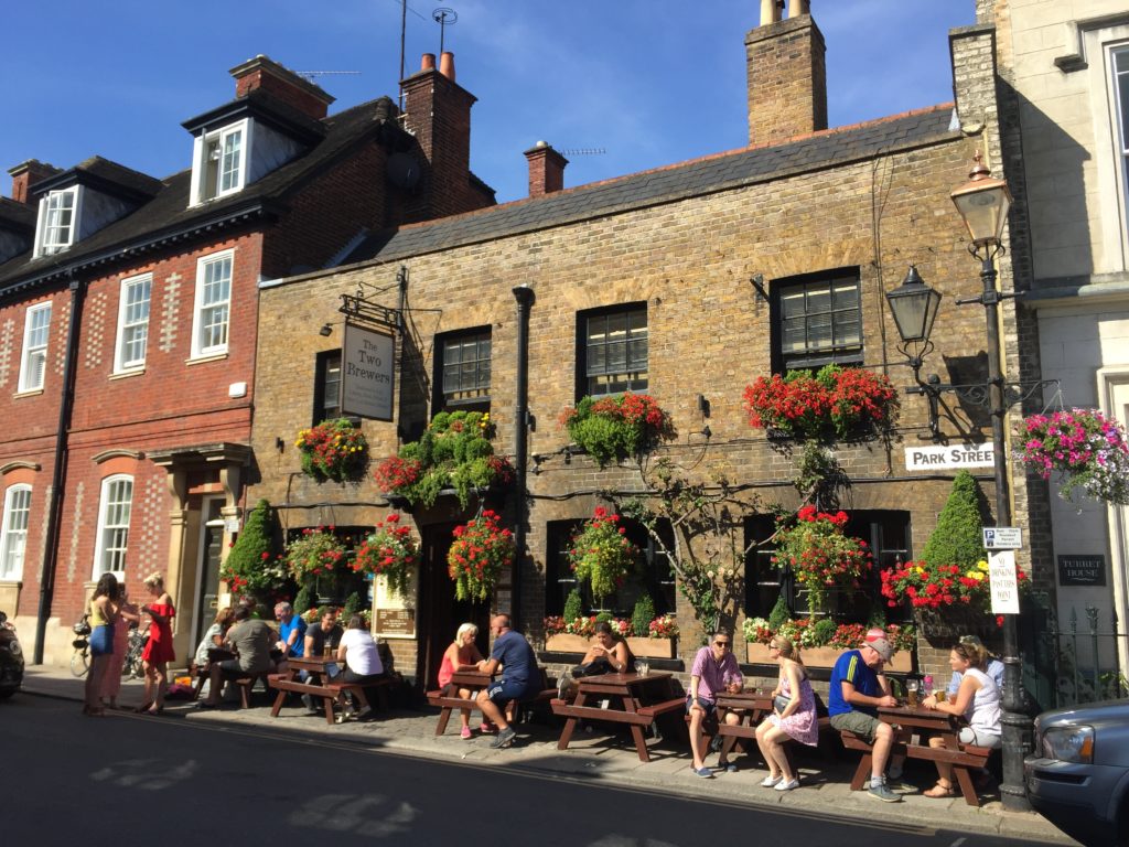
Although I took many pictures of Windsor Castle from the distance, I unfortunately failed to take any good ones when I was closer to it. On the other hand I quite like the following picture of a pub:

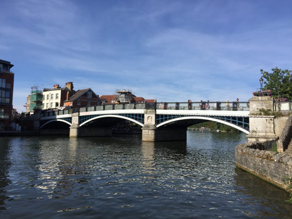
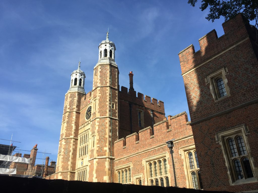
The town of Windsor itself is pretty, but hopelessly overcrowded – compared to this the centre of Cambridge on a weekend, which is already pretty bad, can count as quiet. I thus decided to minimise the amount of sightseeing I do in the town, and just had a brief look at Eton on the other side of the Thames.

No surprises here: Not only the crowds of people are similar to Cambridge, but also architecture and terminology (there was a sign indicating where the “Porters’ Lodge” is):

Windsor has two different railway stations: one by Great Western Railway, from which a shuttle train runs to Slough, and second one by South Western Railway, from where trains go all the way back to Waterloo. On a previous occasion I had walked to Slough and caught the train to Paddington from there. This time I headed back to Cambridge in a less idiosyncratic way.

The Ascent of Ben Vrackie

I recently visited my friend X. in Scotland and wanted to use this opportunity to climb up a hill, in order to see how that compares to the flatland walking I usually do. I have lived in Scotland myself for a whole year but did little walking there. The reason for this was that although I had bought hiking shoes before moving specifically to get into walking, these shoes had no ankle support, and unfortunately I discovered after arriving that the local walking club demanded shoes with such support – so I could never join them. In East Anglia this was not necessary though, and so I started going for walks only after moving away from all the hills.

I lacked the local knowledge when planning the trip, but luckily there is a very good database for the Scottish Highlands. X. and I thus decided to climb Ben Vrackie, as this can be done easily using public transport by taking the train to Pitlochry. To get the most out of the day we got up early to catch one of the first trains, but unfortunately this was cancelled – X. luckily checked before leaving the house, and so we could extend our breakfast. Things did not go so smoothly after that either: On the platform at Perth there was large crowd of (partially quite disgruntled) people waiting for the train to Pitlochry (and Inverness), and the dot-matrix indicator displayed the unpromising message “This train is formed of two coaches – Standing room only”.

Naturally this made us concerned about not fitting into the train at all, but miraculously nearly everyone managed to squeeze in. The journey not very comfortable and the train crew were extremely apologetic about the whole situation, but in the end we successfully made it to Pitlochry. The walking could thus begin.

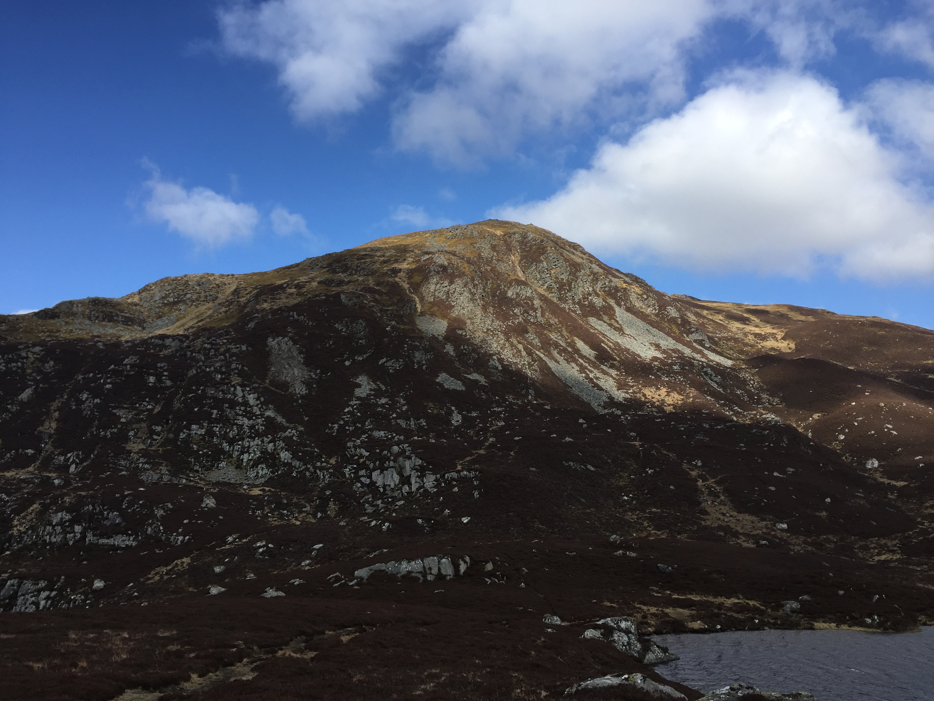
The way to the top of Ben Vrackie can be divided into two stages: The first part leads one from Pitlochry (which is around 150m above sea level) to a lake called Loch a’ Choire at 523m, and – even though I have never experienced anything like it during my travels in East Anglia –  the incline here is relatively gradual. The second part, leading up to the 841m high summit, however, is much steeper and presumably qualifies as hillwalking proper.

The height was not the only thing that made this walk unusual. Scotland’s colour scheme is very different from that of (the south of) England as well, with lots of brown and other dark tones dominating. Furthermore there were many other walkers, roughly two-thirds of which also seemed to be German, whereas on the flatland walks I do one hardly meets anyone apart from a few dog walkers. And finally the wind was pretty strong and cold, so I can now see why many people like hats, scarves, and so on. (I did not get ill though despite lacking all the equipment!)

As we reached the lake and prepared ourselves for the final stage of the ascent the wind became considerably stronger, which made the climb to the top quite the adventure. We did eventually reach the summit though, where the views were spectacular (and there was even some snow).

At this height the wind was so strong that it felt like we might be blown away any second, and I had to hold my glasses because I was afraid that the next gust might send them down the mountain. Since this made staying on the summit rather unpleasant we started to climb down again soon after we had taken an appropriate amount of pictures, although at times we had to stop because the wind made it impossible to move in the direction we wanted to go. Overall the way downhill appeared surprisingly long, and I was thus very impressed with ourselves that we had actually managed to make it uphill.

Back at the lake we rested for a bit, and then decided that we had sufficient energy left to extend the walk some more. Instead of going back the way we came we headed west towards a village with the interesting name Killiecrankie, from where we would walk back to Pitlochry along the river Garry.

This part of the walk was much more relaxed as the decline was gentle, the wind had subsisted, and the valley we headed into looked pleasant and inviting compared to the mountain we were leaving behind.

Down by the river we walked south, with the railway viaduct carrying the Highland Main Line between Perth and Inverness beside us. Despite it’s important-sounding name the line is mostly single track, the service is less than hourly, and the travelling speed is relatively slow – which is why the cancellation earlier that day had caused so much chaos.

Luckily the journey back was more enjoyable, with all the trains being on time and having free seats. Back at X.’s place we ended the day by eating a very well-deserved fish supper.

My verdict in hillwalking is that it seems fun in small doses, but I wouldn’t want to climb a mountain like Ben Vrackie every week, for the day after my knees hurt so much that I could hardly walk at all.

Welcome!

Welcome to Adventures in East Anglia! My name is Benjamin, I recently moved to Cambridge, and in my spare time I like to go on day trips, which usually involve walking, cycling, or taking trains in some way. Many of these trips lead me to explore Cambridgeshire, Norfolk or Suffolk; the three counties known as East Anglia (although the extent of East Anglia is somewhat controversial). I thought it might be fun to write about some of these expeditions, and thus will try to do so on this blog. Despite the title I don’t plan to strictly restrict myself to the three counties mentioned before, but will probably also write about trips to other parts of the world – Essex and Hertfordshire, for instance, but also more exotic locations.

What is the point of this? Firstly, I quite enjoy reading travel reports myself, and hence am interested to see whether I am able to do some travel writing myself. Secondly, I think East Anglia is often underrated: East Anglia, a. k. a. the Wales of the East, seems to be primarily known for being flat (Cambridgeshire has been called the “billiard table of England“), and flatness is in turn associated with boringness. True, a picture of you climbing a massive rock which guarantees plenty of likes on social media will be hard to come by when walking in Norfolk. Nevertheless, I think East Anglia is scenic and interesting in less obvious ways, and I want to embrace the flatness in the posts on this blog. Let the experiment begin.